The instrument's own words
page 1
453
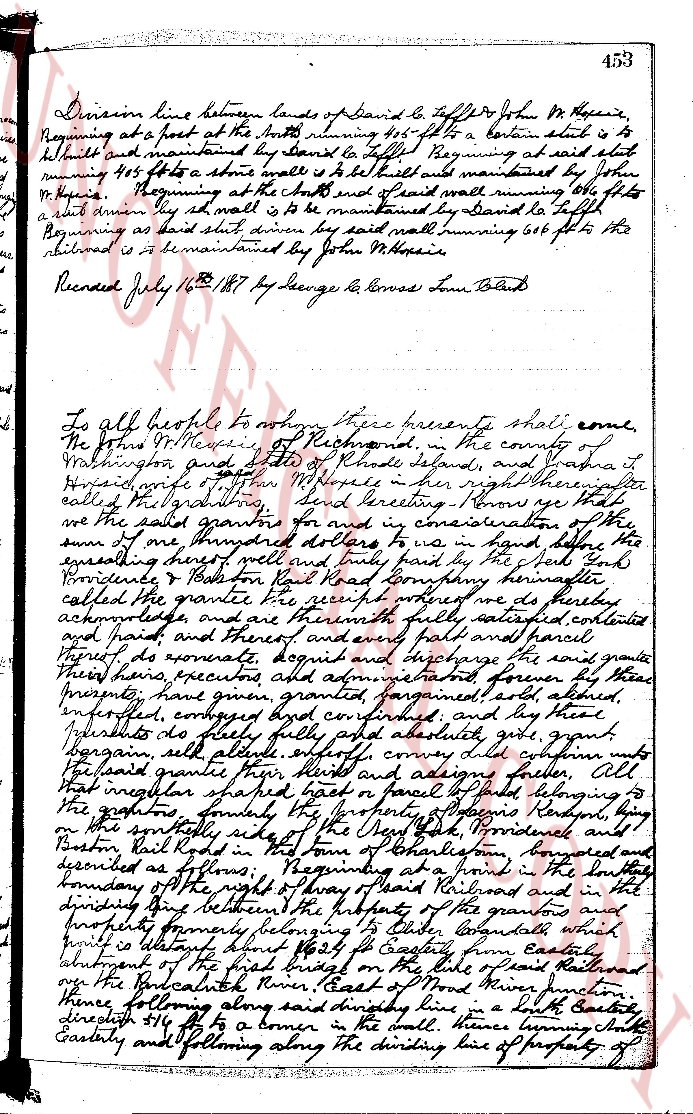
Division line between lands of David Le Tofflor & John W. Messie,
beginning at a post at the North running 406 ft to a certain stake is to
be built and maintained by David Le Tofflor Beginning at said stake
running 415 ft to a stone wall to be built and maintained by John
W. Messie Beginning at the stake and end of said wall running 406 ft to
a stake driven by sd wall is to be maintained by David Le Tofflor
Beginning as said stake driven by said wall running 606 ft to the
railroad is to be maintained by John W. Messie.
Recorded July 16th 1887 by George L. Converse Town Clerk
To all people to whom these presents shall come,
We John W. Messie of Richmond, in the county of
Washington and state of Rhode Island, and Washna L.
Messie, wife of John W. Messie in her right thereinafter
called the grantors, send Greeting Know ye that
we the said grantors for and in consideration of the
sum of one thousand dollars to us in hand paid by the
undersigning hereof well and truly paid by the said Yah
Providence & Pawtucket Rail Road Company hereinafter
called the grantee the receipt whereof we do hereby
acknowledge, and are therewith fully satisfied, content
and paid and therefore every full part and parcel
thereof, do covenant, acquit and discharge the said grantee
through these presents, have given, granted, bargained, sold, altered,
enfeoffed, conveyed, conveyed confirmed, and by these
presents do sellly fully and absolutely, give, grant,
bargain, sell, alienate, enfeoff, convey deliver full seisin unto
the said grantee their heirs and assigns forever All
that irregular shaped tract of land called "the fall" belonging to
the grantors bounded by the property of Providence Pawtucket and
Boston Rail Road on the south side in town of Charlestown bounded
and described as follows: Beginning at a point in the south
boundary of the right of way of said Railroad and in the
dividing line between the property of the grantors and
property formerly belonging to Oliver Caswell which
property is abutting about 162 ft Easterly from easterly
abutment of the first bridge on the side of said Railroad
over the Pawcatuck River, East of Wood River junction
thence following along said dividing line in a South Easterly
direction 416 ft to a corner in the wall thence turning South
Easterly and following along the dividing line of property of
The page as recorded