The instrument's own words
page 1 · read by Gemma vision
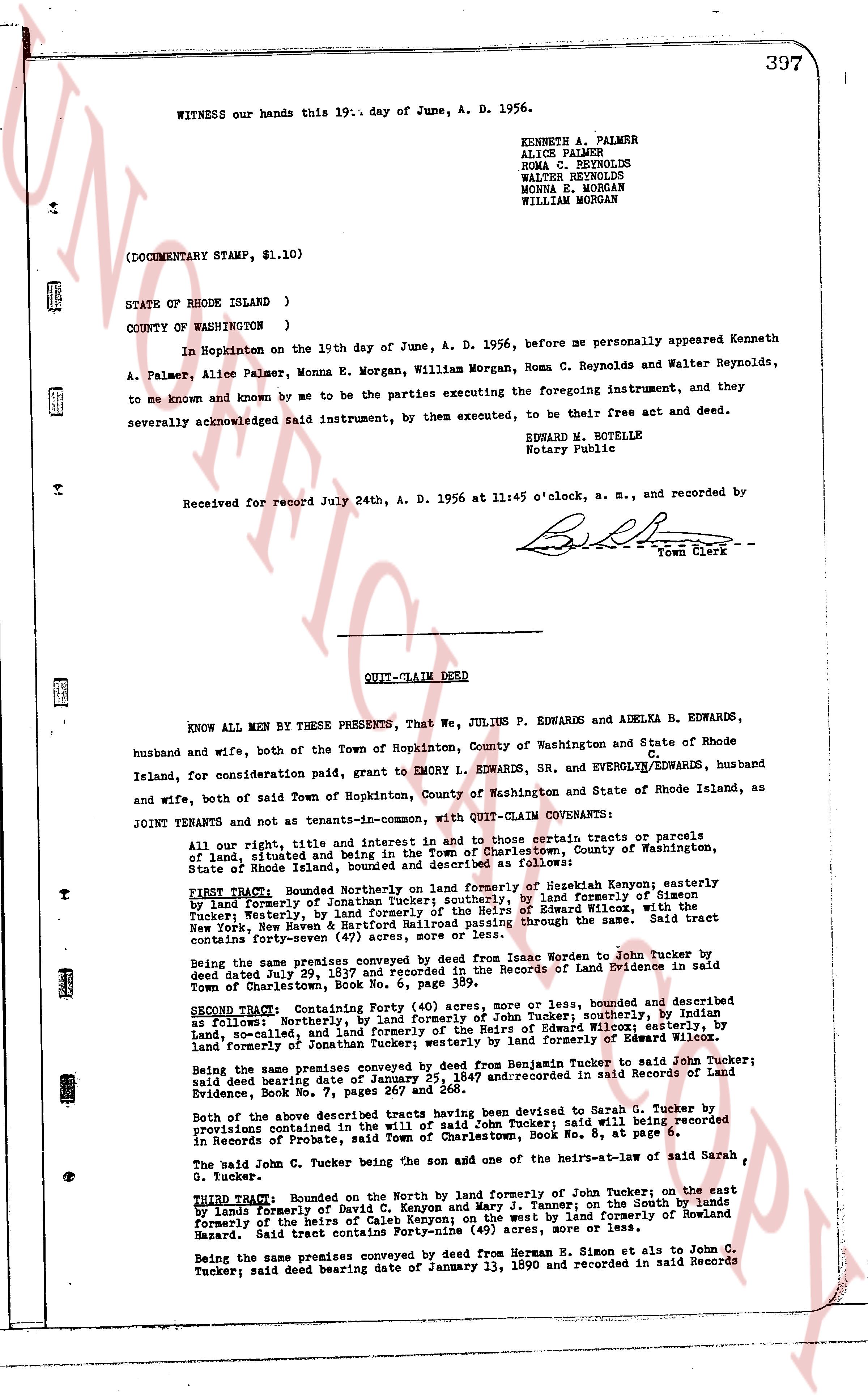
397
WITNESS our hands this 19th day of June, A. D. 1956.
KENNETH A. PALMER
ALICE PALMER
ROMA C. REYNOLDS
WALTER REYNOLDS
MONNA E. MORGAN
WILLIAM MORGAN
(DOCUMENTARY STAMP, $1.10)
STATE OF RHODE ISLAND )
COUNTY OF WASHINGTON )
In Hopkinton on the 19th day of June, A. D. 1956, before me personally appeared Kenneth
A. Palmer, Alice Palmer, Monna E. Morgan, William Morgan, Roma C. Reynolds and Walter Reynolds,
to me known and known by me to be the parties executing the foregoing instrument, and they
severally acknowledged said instrument, by them executed, to be their free act and deed.
EDWARD M. BOTELLE
Notary Public
Received for record July 24th, A. D. 1956 at 11:45 o'clock, a. m., and recorded by
[Signature]
Town Clerk
----
QUIT-CLAIM DEED
KNOW ALL MEN BY THESE PRESENTS, That We, JULIUS P. EDWARDS and ADELKA B. EDWARDS,
husband and wife, both of the Town of Hopkinton, County of Washington and State of Rhode
Island, for consideration paid, grant to EMORY L. EDWARDS, SR. and EVERGLYN C. EDWARDS, husband
and wife, both of said Town of Hopkinton, County of Washington and State of Rhode Island, as
TENANTS JOINT and not as tenants-in-common, with QUIT-CLAIM COVENANTS:
All our right, title, and interest in and to those certain tracts or parcels of
land, situated and lying in the Town of Charlestown, County of Washington, State of
Rhode Island, known as "Edwards' Farm", described as follows:
FIRST Tract: Bounded Northerly on formerly land of Nezekiah Kenyon; easterly
by land formerly of Jonathan Tucker; southerly, by land formerly of Simon
Tucker; westerly, by land formerly of Jonathan Tucker and land of Edward Wilton, with the
main line of the New York, New Haven and Hartford Railroad passing through the same. Said tract
contains forty-seven (47) acres, more or less.
Being the same premises conveyed by deed from Isaac Warden to John Tucker by
deed dated June 20, 1837 and recorded in said Records of Land Evidence in said
Town of Charlestown, Book No. 6, page 389.
SECOND Tract: Containing Forty (40) acres more or less, bounded and described
as follows: northerly, by land formerly of Heirs of John Tucker; southerly, by Indian
land, so-called, and land formerly of the Heirs of Edward Warden; easterly, by
land formerly of Jonathan Tucker; westerly, by land formerly of Edward Warden.
Being the same premises conveyed by deed from Benjamin Tucker to said John Tucker by
deed dated June 25, 1847 and recorded in said Records of Land Evidence in said
Evidence, Book No. 7, pages 267 and 268.
Of the above two described tracts having been devised to Sarah G. Tucker by
probate administered in the said John Tucker; said will being recorded
in Records of Probate, said Town of Charlestown, Book No. 8, at page 6.
The said John C. Tucker being the son and one of the heirs-at-law of said Sarah
G. Tucker.
THIRD Tract: Bounded on the North by land formerly of John Tucker; on the east
by lands formerly of David B. Kenyon and Mary F. Tenney; on the South by lands
formerly of the heirs of Earl Hazard; and on the west by land formerly of Rowland
Hazard. Said tract contains Forty-nine (49) acres, more or less.
Being the same premises conveyed by deed from Herman E. Simon et als to John C.
Tucker; said deed bearing date of January 13, 1890 and recorded in said Records
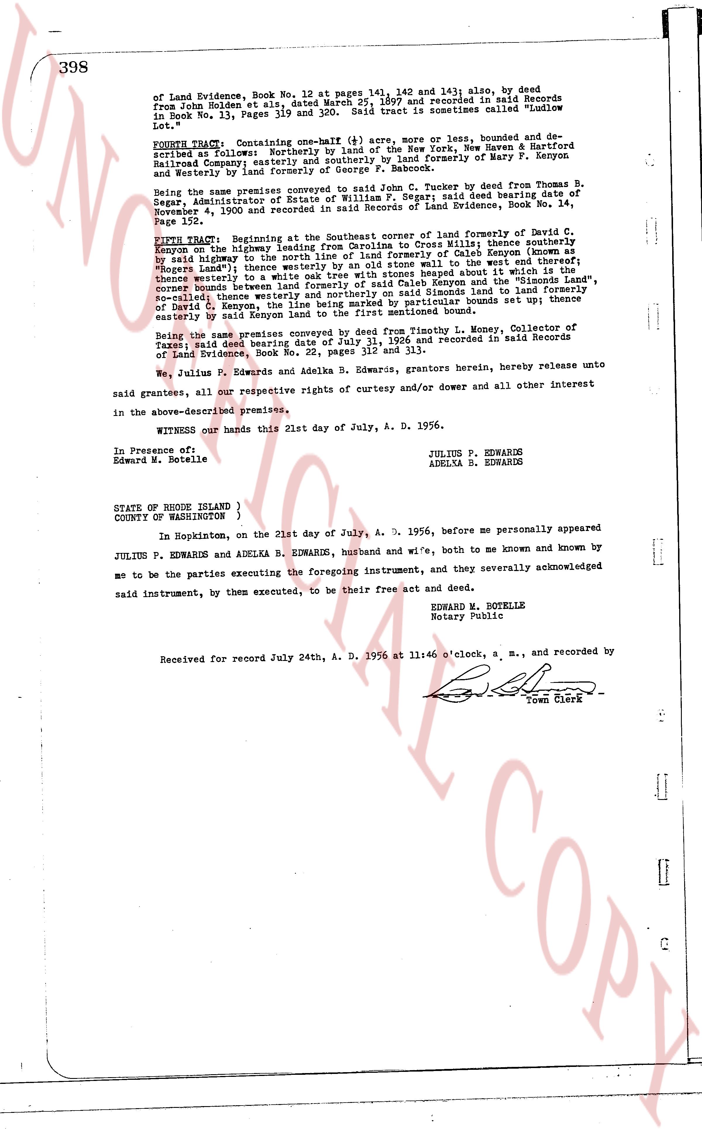
page 2 · read by Gemma vision
of Land Evidence, Book No. 12, at pages 141, 142 and 143; also, by deed from John Holden and et als, dated March 25, 1897 and recorded in said Records in Book No. 13, Pages 319 and 320. Said tract is sometimes called "Luslow Lot."
FOURTH TRACT. Containing one-half (+) acre, more or less, bounded and described as follows: southerly by the right of way of the New York, New Haven & Hartford Railroad Company easterly and southerly by land formerly of Mary B. Brown and westerly by land formerly of George P. Babcock.
Being the same premises conveyed to Julius P. Edwards, by deed from Thomas B. Segar, Administrator of Estate of William H. Segar; said deed bearing date November 4, 1900 and recorded in the Records of Land Evidence, Book No. 14, Page 152.
FIFTH TRACT. Beginning at the Southeast corner of land formerly of David C. Kenyon on the highway leading from Charlestown to Hopkinton; bounded and described as follows: northerly by land formerly of David C. Kenyon on the so-called "Rogers Land"; thence westerly by an old stone wall to the west end thereof; thence westerly to a white oak tree with stones heaped about it which is the center corner boundary between the land of Kenyon and the land formerly of David C. Kenyon; thence westerly and northerly on said Simons land to land formerly of David C. Kenyon; thence northerly to a stone boundary marker set up; thence easterly by said Kenyon land to the first mentioned bound.
Being the same premises conveyed by deed from Timothy L. Money, Collector of Taxes; said deed bearing date of April 13, 1911 and recorded in said Records of Taxes; Land Evidence, Book No. 22, pages 312 and 313.
We, Julius P. Edwards and Adelka B. Edwards, grantors herein, hereby release unto said grantees, all our respective rights of curtesy and/or dower and all other interest in the above-described premises.
WITNESS our hands this 21st day of July, A. D. 1956.
In Presence of:
Edward M. Botelle
JULIUS P. EDWARDS
ADELKA B. EDWARDS
STATE OF RHODE ISLAND }
COUNTY OF WASHINGTON }
In Hopkinton, on the 21st day of July, A. D. 1956, before me personally appeared JULIUS P. EDWARDS and ADELKA B. EDWARDS, husband and wife, both to me known and known by me to be the parties executing the foregoing instrument, and they severally acknowledged said instrument, by them executed, to be their free act and deed.
EDWARD M. BOTELLE
Notary Public
Received for record July 24th, A. D. 1956 at 11:60 o'clock, a. m., and recorded by [Signature] Town Clerk
The page as recorded