The instrument's own words
page 1 · read by Gemma vision
694
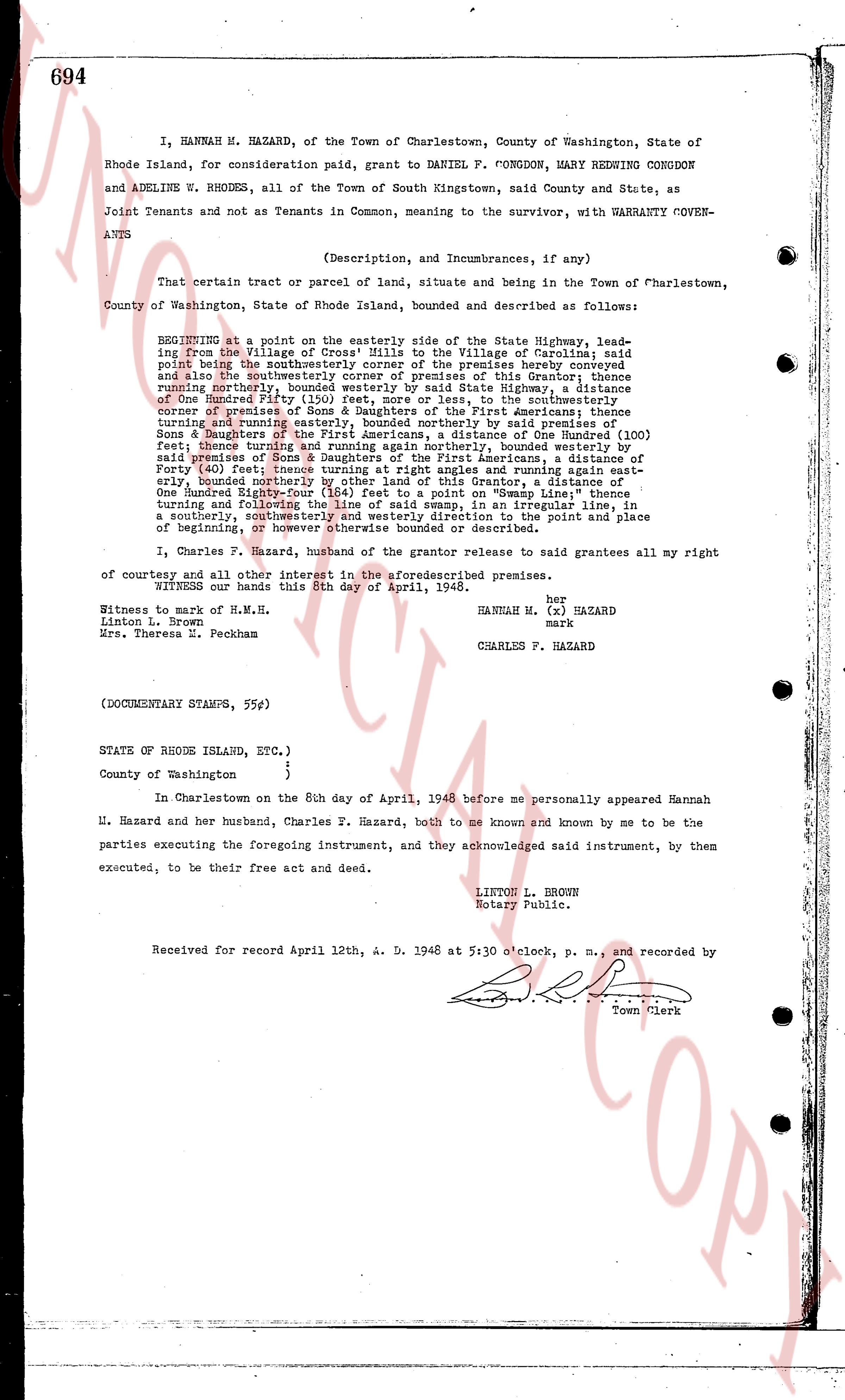
I, HANNAH M. HAZARD, of the Town of Charlestown, County of Washington, State of Rhode Island, for consideration paid, grant to DANIEL F. CONGDON, MARY REDWING CONGDON and ADELINE W. RHODES, all of the Town of South Kingstown, said County and State, as Joint Tenants and not as Tenants in Common, meaning to the survivor, with WARRANTY COVENANTS
(Description, and Incumbrances, if any)
That certain tract or parcel of land, situate and being in the Town of Charlestown, County of Washington, State of Rhode Island, bounded and described as follows:
BEGINNING at a point on the easterly side of the State Highway, leading from the Village of "Cross' Hills" to the Village of Carolina; said point being the southwesternmost corner of the premises hereby conveyed and also the southwesternmost corner of the premises of this Grantor thence running northerly, bounded westerly by said State Highway, a distance of One Hundred Fifty (150) feet, to a stone, in the southeasterly corner of premises of Sons & Daughters of the First Americans; thence turning easterly and running parallel with said line, to the southeasterly corner of premises of Sons & Daughters of the First Americans, a distance of One Hundred (100) feet, thence turning northerly and running northerly, bounded easterly by premises of Sons & Daughters of the First Americans, a distance of One Hundred Eighty-Four (184) feet, thence turning and running easterly, bounded easterly by said premises of Sons & Daughters of the First Americans, a distance of Forty (40) feet; thence turning at right angles and running again easterly, bounded northerly by premises of this Grantor, a distance of One Hundred Eighty-Four (184) feet to a point on "Swamp Line"; thence turning and following said "Swamp Line" in a generally line, in a southerly, southwesterly and westerly direction to the point and place of beginning, or more or less as hereinabove described.
I, Charles F. Hazard, husband of the grantor please, do grant releases all my right of courtesy and all other interest in the aforesaid premises.
WITNESS our hands this 8th day of April, 1948.
her
HANNAH M. (x) HAZARD
mark
CHARLES F. HAZARD
Witness to mark of H.M.H.
Linton L. Brown
Mrs. Theresa D. Peckham
(DOCUMENTARY STAMPS, 55¢)
STATE OF RHODE ISLAND, ETC.)
)
County of Washington )
In Charlestown on the 8th day of April, 1948 before me personally appeared Hannah M. Hazard and her husband, Charles F. Hazard, both to me known and known by me to be the parties executing the foregoing instrument, and they acknowledged said instrument, by them executed, to be their free act and deed.
LINTON L. BROWN
Notary Public.
Received for record April 12th A. D. 1948 at 5:30 o'clock, p. m., and recorded by
The page as recorded