The instrument's own words
page 1 · read by Gemma vision
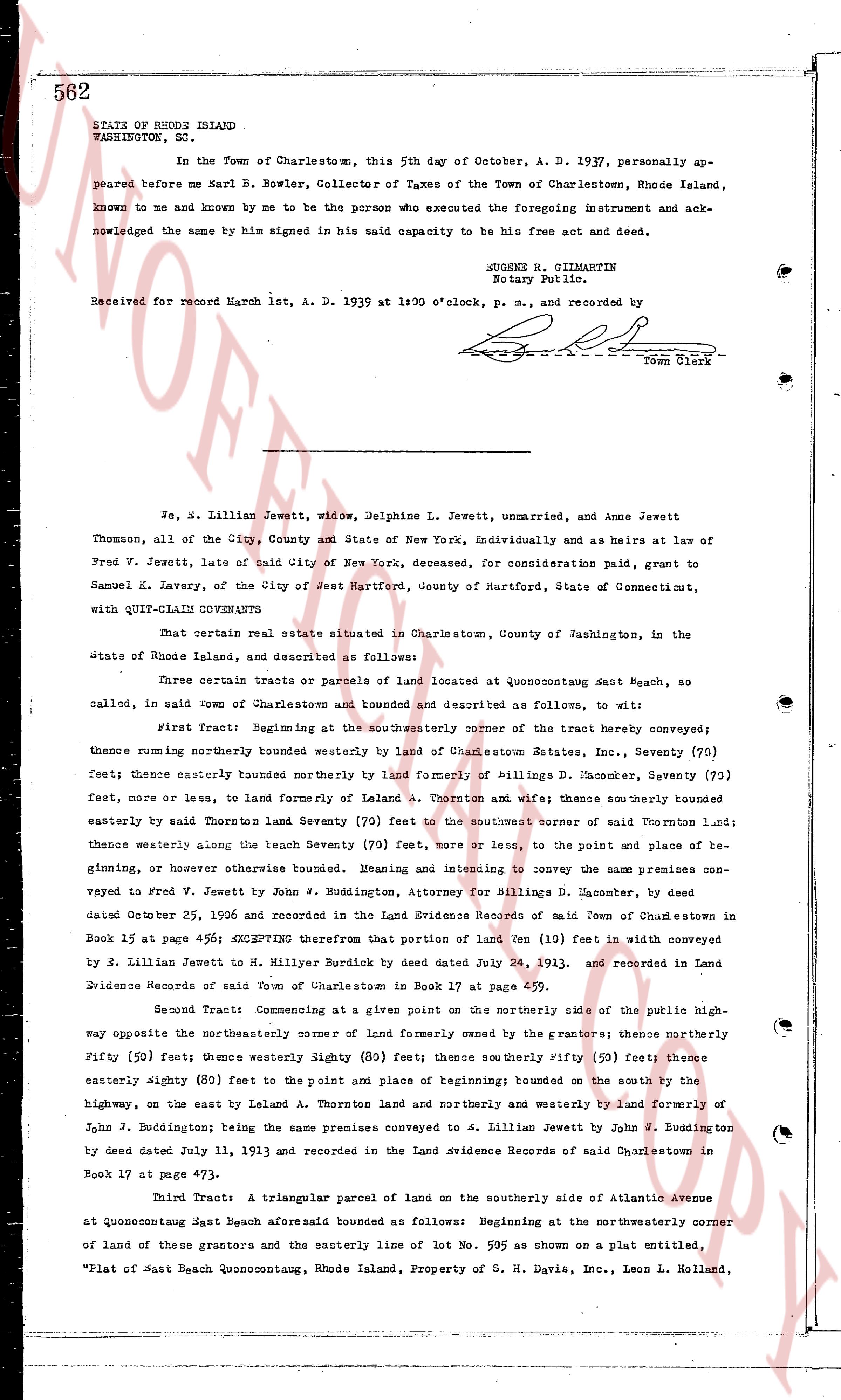
STATE OF RHODE ISLAND
WASHINGTON, SC.
In the Town of Charlestown, this 5th day of October, A. D. 1937, personally appeared before me Karl B. Bowler, Collector of Taxes of the Town of Charlestown, Rhode Island, known to me and known by me to be the person who executed the foregoing instrument and acknowledged the same by him signed in his said capacity to be his free act and deed.
HUGENS B. GILMARTIN
Notary Public.
Received for record March 1st, A. D. 1939 at 1:00 o'clock, p. m., and recorded by [signature]
Town Clerk
----
We, S. Lillian Jewett, widow, Delphine L. Jewett, unmarried, and Anne Jewett Thomson, all of the City, County and State of New York, individually and as Heirs at law of Fred V. Jewett, late of said City of New York, deceased, for consideration paid, grant to Samuel K. Lavery, of the City of Jet Hartford, County of Hartford, State of Connecticut, with QUIT-CLAIM COVENANTS
That certain real estate situate in Charlestown, County of Washington, in the State of Rhode Island, and described as follows:
Three certain tracts or parcels of land located at Quonocutong East Beach, no called, in said town of Charlestown and described and described as follows, to wit:
First Tract: Beginning at the southwesterly corner of the tract hereby conveyed; thence running northerly bounded westerly by land of Charlestown Estates, Inc., Seventy (70) feet; thence easterly once bounded northerly by land of Billings D. Macomer, Seventy (70) feet, more or less, and for lemonade of Leland A. Thornton and wife; thence southerly bounded easterly by said Thornton land Seventy (70) feet to the northwest corner of said Thornton land; thence westerly along the least Seventy (70) feet, more or less, to the point and place of beginning, or otherwise thus bounded. Meaning and intending to convey the same premises conveyed to Fred V. Jewett by John J. Buddington, Attorney for Billings D. Macomer, by deed dated October 25, 1906 and recorded in the Land Evidence Records of said Town of Charlestown in Book 15 at page 456; EXCEPTING therefore that portion of land Ten (10) feet in width conveyed by S. Lillian Jewett to H. Miller Burdick by deed dated July 24, 1913, and recorded in Land Evidence Records of said Town of Charlestown in Book 17 at page 459.
Second Tract: Commencing at a given point in the northerly side of the public highway opposite the northeasterly corner of land formerly owned by the grantors; thence northerly Fifty (50) feet; thence westerly Eighty (80) feet; thence southerly Fifty (50) feet; thence easterly Eighty (80) feet to the point and place of beginning; bounded on the south by the highway, on the east by land of Leland A. Thornton land and northerly and westerly by land formerly of John J. Buddington; being the same premises conveyed to S. Lillian Jewett by John J. Buddington by deed dated July 11, 1913 and recorded in the Land Evidence Records of said Charlestown in Book 17 at page 473.
Third Tract: A triangular parcel of land on the southerly side of Atlantic Avenue at Quonocutong East Beach aforesaid bounded as follows: Beginning at the northwesterly corner of land of these grantors and the easterly line of lot No. 595 as shown on a plat entitled, "Plat of East Beach Quonocutong, Rhode Island, Property of S. H. Davis, Inc., Leon L. Holland,
The page as recorded