The instrument's own words
page 1 · read by Gemma vision
378
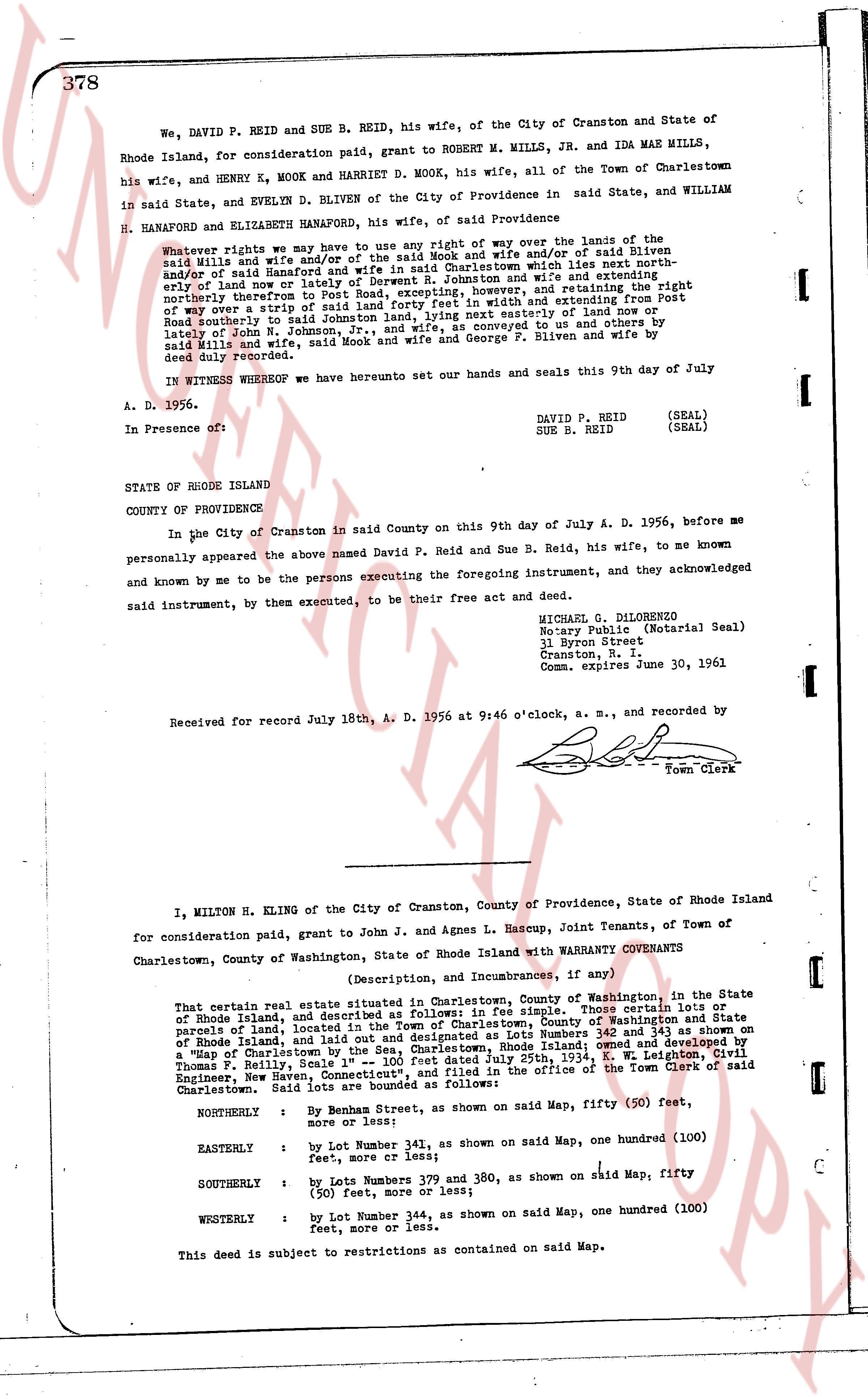
We, DAVID P. REID and SUE B. REID, his wife, of the City of Cranston and State of Rhode Island, for consideration paid, grant to ROBERT M. MILLS, JR. and IDA MAE MILLS, his wife, and HENRY E. MOOK and HARRIETT D. MOOK, his wife, all of the Town of Charlestown in said State, and WILLIAM BLIVEN of the City of Providence in said State, and WILLIAM HANAPORD and ELIZABETH HANAPORD, his wife, of said Providence
Whatever rights we may have to use any right of way over the land of the said Mills and wife and/or of the said Mook and wife and/or of said Bliven and/or of said Hanapord and wife, specifically the road leading north easterly and/or of said land or land of Reverend J. Johnston and wife and extending the right northerly therefrom to Post Road, extending approximately 20 feet in width and extending from Post Road southerly to said Johnston land, giving any existing easement or rights conveyed to us and others by lately of John J. Johnston, and any other rights conveyed to us and others by said Mills and wife, said Mook and wife and George F. Bliven and wife by deed duly recorded.
IN WITNESS WHEREOF we have hereunto set our hands and seals this 9th day of July A. D. 1956.
DAVID P. REID (SEAL)
SUE B. REID (SEAL)
In Presence of:
STATE OF RHODE ISLAND
COUNTY OF PROVIDENCE,
In the City of Cranston in said County on this 9th day of July A. D. 1956, before me personally appeared the above named David P. Reid and Sue B. Reid, his wife, to me known and known by me to be the persons executing the foregoing instrument, and acknowledged by said instrument, by them executed, to be their free act and deed.
MICHAEL G. DILONERZO
Notary Public (Notarial Seal)
31 Byron Street
Cranston, R. I.
Comm. expires June 30, 1961
Received for record July 18th A. D. 1956 at 9:46 o'clock, a. m., and recorded by [?]
Town Clerk
----
I, MILTON H. KLING of the City of Cranston, County of Providence, State of Rhode Island for consideration paid, grant to John J. and Agnes L. Hascup, Joint Tenants, of Town of Charlestown, County of Washington, State of Rhode Island with WARRANTY COVENANTS
(Description, and Incumbrances, if any)
That certain real estate situated in Charlestown, County of Washington, in the State of Rhode Island, and described as follows: in fee simple, Those certain lands or parcels of land, located in the Town of Charlestown, County of Washington and Town of parcels of land, located in the Town of Charlestown, County of Washington and Town of Rhode Island, and lying in said Town of Charlestown, designated as Lots Numbers 342 and 343 as shown on a "Map of Charlestown by the Sea, Charlestown, Rhode Island," dated April 29, 1934, by Thomas F. Farley, Sample and Associates, and C. W. Leighton, Civil Engineer, New Haven, Connecticut," and filed in the office of the Town Clerk of Town of Charlestown. Said lots are bounded as follows:
NORTHERLY : By Main Street, as shown on said Map, fifty (50) feet, more or less;
EASTERLY : by Lot Number 341 as shown on said Map, one hundred (100) feet, more or less;
SOUTHERLY : by Lots Numbers 379 and 380, as shown on said Map, fifty (50) feet, more or less;
WESTERLY : by Lot Number 344, as shown on said Map, one hundred (100) feet, more or less.
This deed is subject to restrictions as contained on said Map.
page 2 · read by Gemma vision
379
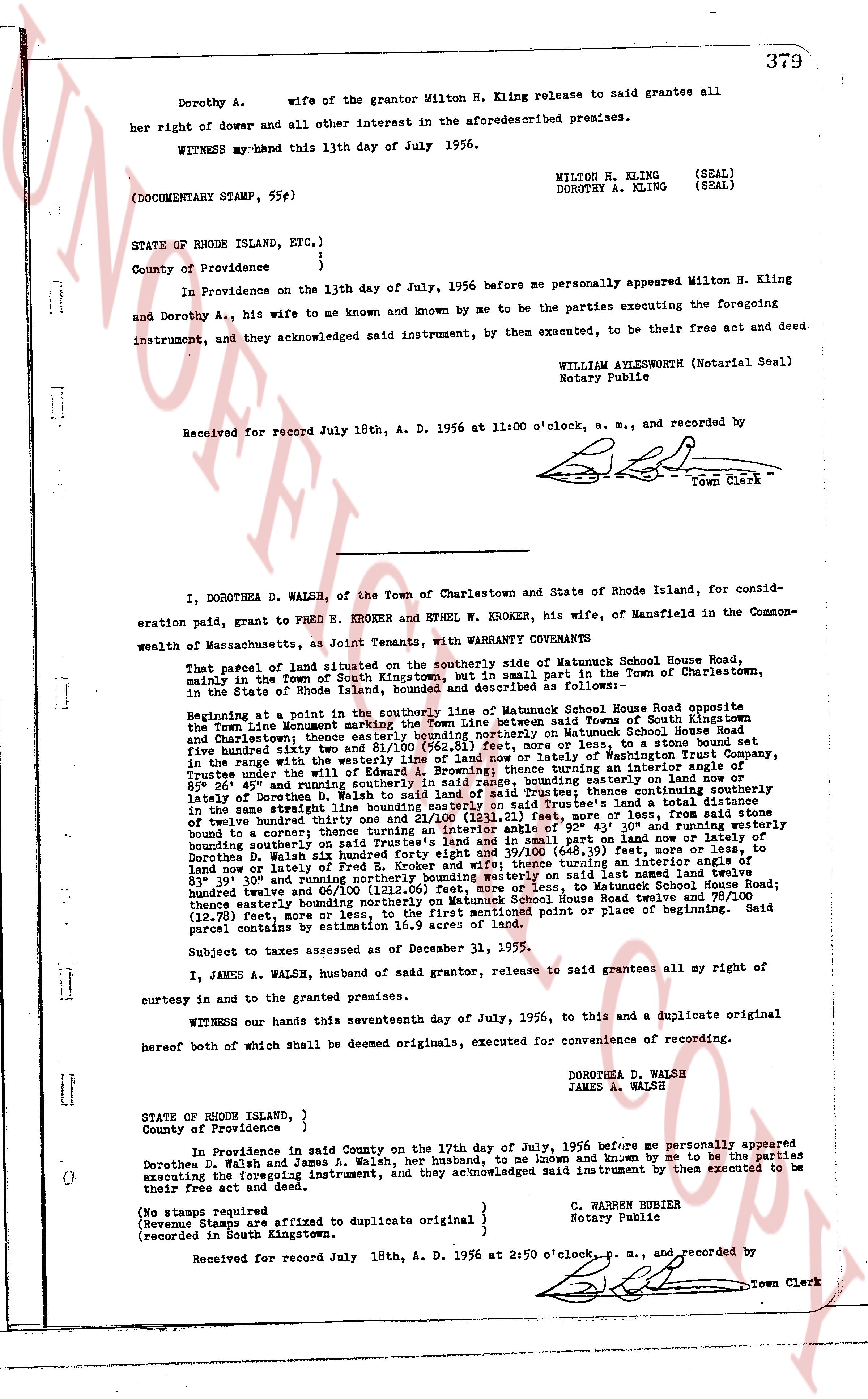
Dorothy A. wife of the grantor Milton H. Kling release to said grantee all
her right of dower and all other interest in the aforesaid described premises.
WITNESS my hand this 13th day of July 1956.
MILTON H. KLING (SEAL)
DOROTHY A. KLING (SEAL)
(DOCUMENTARY STAMP, 55¢)
STATE OF RHODE ISLAND, ETC.)
County of Providence } ss.
In Providence on the 13th day of July, 1956 before me personally appeared Milton H. Kling
and Dorothy A., his wife to me known and known by me to be the parties executing the foregoing
instrument, and they acknowledged said instrument, by them executed, to be their free act and deed.
WILLIAM AYLESWORTH (Notarial Seal)
Notary Public
Received for record July 18th, A. D. 1956 at 11:00 o'clock, a. m., and recorded by
[signature]
Town Clerk
----
I, DOROTHEA D. WALSH, of the Town of Charlestown and State of Rhode Island, for consid-
eration paid, grant to FRED E. KROKER and ETHEL W. KROKER, his wife, of Mansfield in the Common-
wealth of Massachusetts, as Joint Tenants, with WARRANTY COVENANTS
That parcel of land situated on the southerly side of Matumuck School House Road,
mainly in the Town of South Kingstown, Rhode Island, part in the Town of Charlestown,
in the State of Rhode Island, more or less, and described as follows:
Beginning at a point in the southerly line of Matumuck School House Road opposite
the Town Line monetary marking the Town line between said Towns of South Kingstown and
Charlestown; thence easterly along said road to a stone bound in Matumuck School House Road
five hundred thirty one feet and 81/100 (531.81) feet, more or less, to a stone bound set
dividing the land of the grantor from the land of the Town of Mansfield; thence turning an interior angle of
89° in the range with the westerly line of said stone bound, bounding easterly 411 feet, more or less, to
Trustee; thence under the wly line of said road, bounding easterly 111 feet, more or less, to a stone
bound; 89° 26' and 45" southerly and running southerly in said range, bounding easterly 111 feet, more or less,
lately of Harrison; thence turning an interior angle of 90° and running easterly 111 feet, more or less,
in the same straight line bounding easterly on said Trustee's land a total distance of 222 feet to said
stone bound to a corner; thence turning an interior angle of 92° 43' 10" and running westerly
bounding northerly on said Trustee's land 111 feet, more or less, to a stone bound set dividing the land of
Dorothea D. Walsh six hundred forty eight feet and 39/100 (648.39) feet, more or less, to
leaming or lately of Harrison; thence turning an interior angle of 90° 31' 10" and running southerly
83° 39' and 30" northerly bounding southerly westerly on said last named land named trustee
bound twelve and 00/100 (12.00) feet, more or less, to a stone bound in Matumuck School House Road;
thence northerly bounding northerly on Matumuck School House Road twelve and 78/100
(12.78) feet, more or less, to the first mentioned point of place or beginning. Said
parcel contains 0.43 acres more or less.
Subject to taxes assessed as of December 31, 1955.
I, JAMES A. WALSH, husband of said grantor, release to said grantees all my right of
curtesy in and to the granted premises.
WITNESS our hands this seventeenth day of July, 1956, to this and a duplicate original
hereof both of which shall be deemed originals, executed for convenience of recording.
DOROTHEA D. WALSH
JAMES A. WALSH
STATE OF RHODE ISLAND, }
County of Providence } ss.
In Providence in said County on the 17th day of July, 1956 before me personally appeared
Dorothea D. Walsh and James A. Walsh, her husband, to me known and known by me to be the parties
executing the foregoing instrument, and they acknowledged said instrument by them executed to be
their free act and deed.
(No stamps required
(Revenue Stamps are affixed to duplicate original } C. WARREN HUBBER
(recorded in South Kingstown. Notary Public
Received for record July 18th, A. D. 1956 at 2:50 o'clock, p. m., and recorded by
[signature]
Town Clerk
The page as recorded