The instrument's own words
page 1 · read by Gemma vision
354
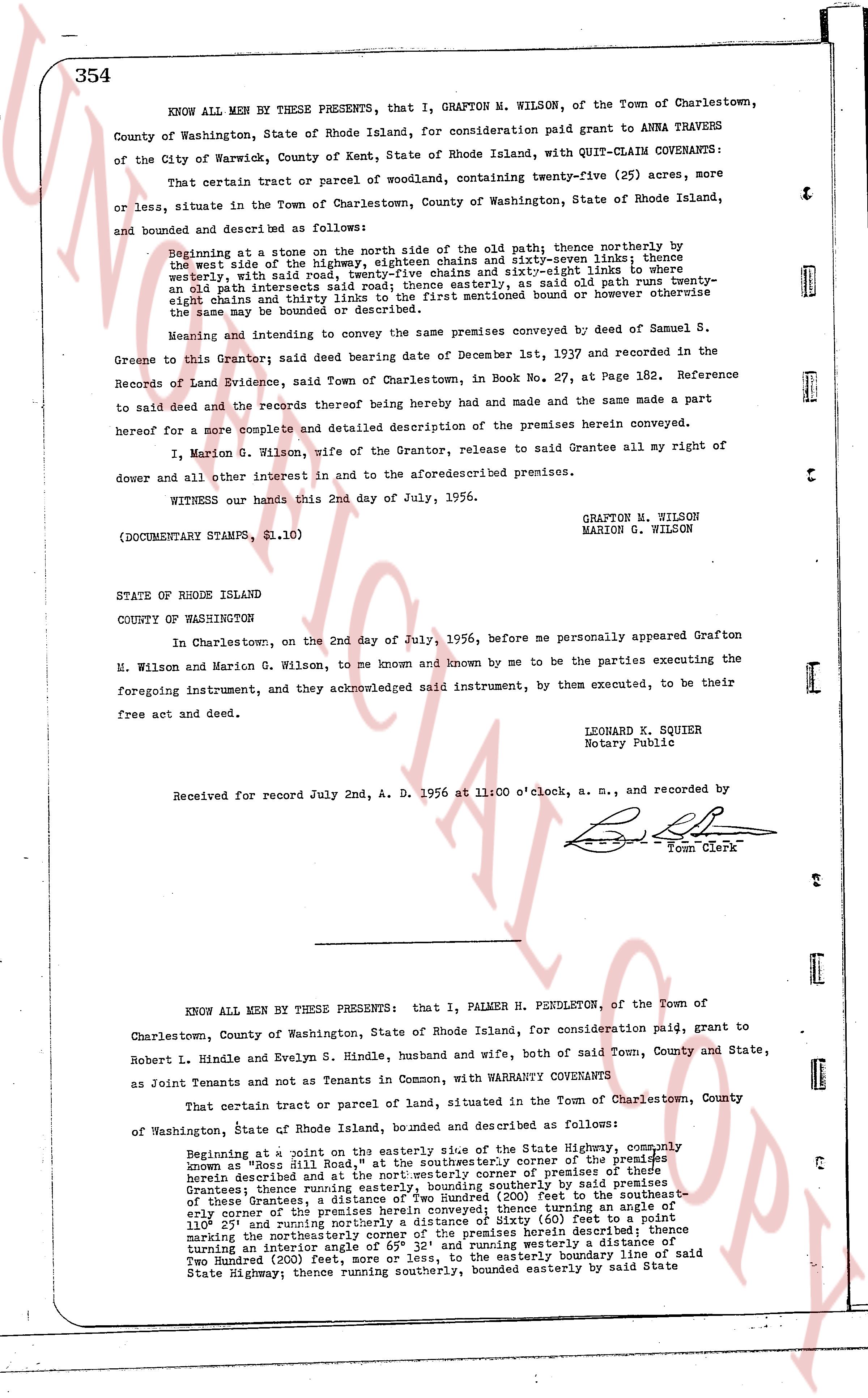
KNOW ALL MEN BY THESE PRESENTS, that I, GRAFTON M. WILSON, of the Town of Charlestown,
County of Washington, State of Rhode Island, for consideration paid grant to ANNA TRAVERS
of the City of Warwick, County of Kent, State of Rhode Island, with QUIT-CLAIM COVENANTS:
That certain tract or parcel of woodland, containing twenty-five (25) acres, more
or less, situate in the Town of Charlestown, County of Washington, State of Rhode Island,
and bounded and described as follows:
Beginning at a stone on the north side of the old path; thence northerly thence by
the west side of the road, eighteen chains and seventy-seven links; thence
westerly, with said road, twenty-five chains and eight-and-one half links to form
an old path intersection; thence easterly, as said old path runs twenty-
eight chains and thirty links to the first mentioned bound or however otherwise
the same may be bounded or described.
Meaning and intending to convey the same premises conveyed by deed of Samuel S.
Greene to this Grantor said deed bearing date of December 1st, 1937 and recorded in the
Records of Land Evidence, said Town of Charlestown, in Book no. 27, at Page 182. Reference
to said deed and the records thereof being hereby had and made the same a part
hereof for a more complete and detailed description of the premises herein conveyed.
I, Marion G. Wilson, wife of the Grantor, release to said Grantee all my right of
dower and all other interest in and to the aforementioned premises.
WITNESS our hands this 2nd day of July, 1956.
GRAFTON M. WILSON
MARION G. WILSON
(DOCUMENTARY STAMPS, $1.10)
STATE OF RHODE ISLAND
COUNTY OF WASHINGTON
In Charlestown, on the 2nd day of July, 1956, before me personally appeared Grafton
M. Wilson and Marion G. Wilson, to me known and known by me to be the parties executing the
foregoing instrument, and they acknowledged said instrument, by them executed, to be their
free act and deed.
LEONARD K. SQUIER
Notary Public
Received for record July 2nd, A. D. 1956 at 11 o'clock, a. m., and recorded by
[Signature]
Town Clerk
----
KNOW ALL MEN BY THESE PRESENTS: that I, PALMER H. PENDLETON, of the Town of
Charlestown, County of Washington, State of Rhode Island, for consideration paid, grant to
Robert L. Hindle and Evelyn S. Hindle, husband and wife, both of said Town, County and State,
as Joint Tenants and not as Tenants in Common, with WARRANTY COVENANTS
That certain tract or parcel of land, situate in the Town of Charlestown, County
of Washington, State of Rhode Island, bounded and described as follows:
Beginning at a point on the easterly side of the State Highway, commonly
known as "Rose Hill Road", at the southeasterly corner of the premises
hereby described and at the northeastern corner of premises of there
Grantees; thence running easterly, bounding southerly by said premises
of these Grantees; thence running easterly, bounding southerly by said premises
of these Grantees, to a point distance of two hundred (200) feet to the southeast-
erly corner of the premises herein conveyed; thence turning an angle of
110° 25' and running northerly a distance of sixty (60) feet to a point
marking the northeastern corner of the premises herein described; thence
turning an interior angle of 65° 32' and running westerly a distance of
Two Hundred (200) feet, more or less, to the easterly boundary line of said
State Highway; thence running southerly, bounded easterly by said State
page 2 · read by Gemma vision
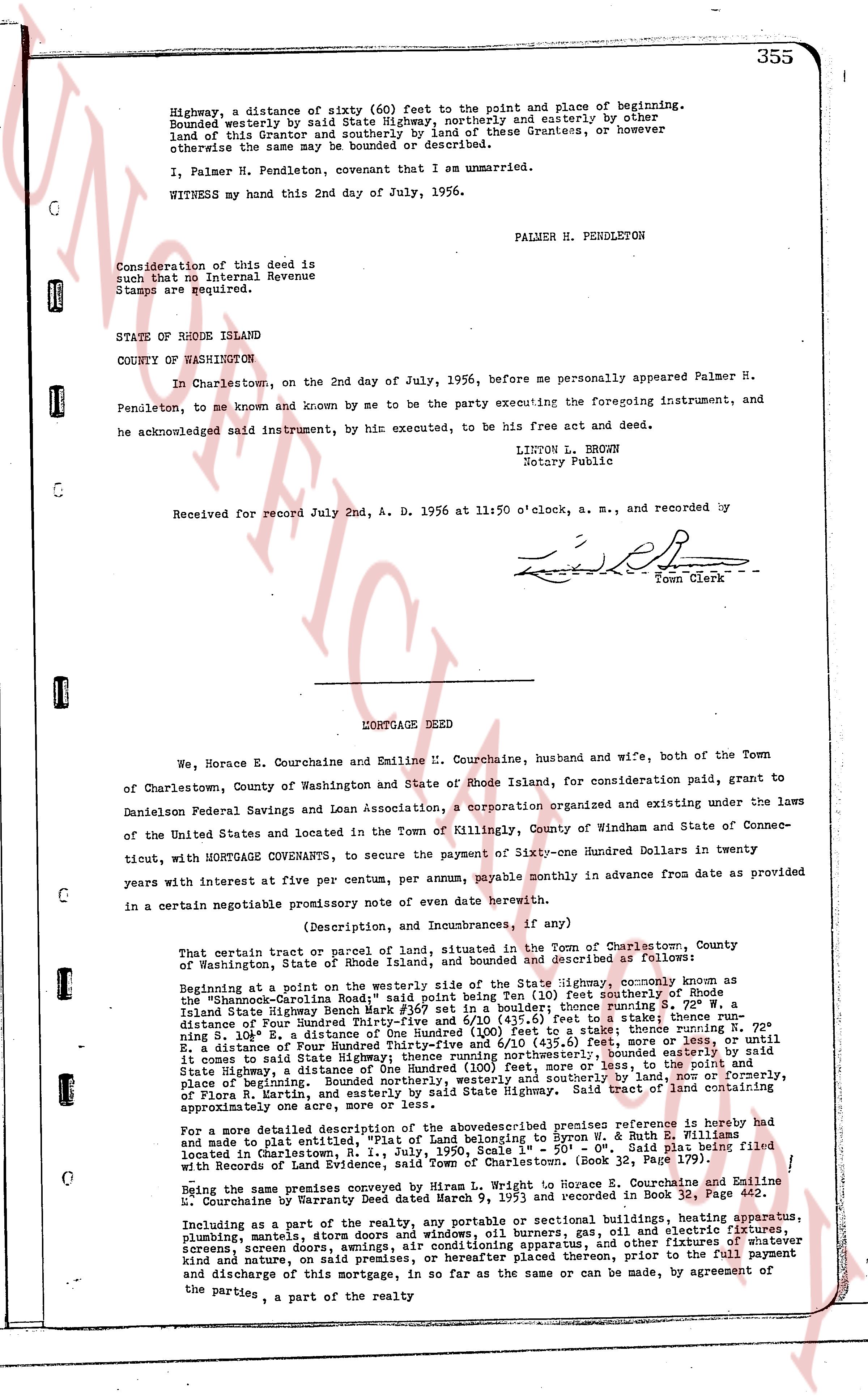
Highway, a distance of sixty (60) feet to the point and place of beginning. Bounded westerly by State Highway (highway), northwesterly and easterly by other land of the said Grantor and southerly by land of these Grantees, or however otherwise the same may be bounded or described.
I, Palmer H. Pendleton, covenant that I am unmarried.
WITNESS my hand this 2nd day of July, 1956.
PALMER H. PENDLETON
Consideration of this deed is such that no Internal Revenue Stamps are required.
STATE of RHODE ISLAND
COUNTY OF WASHINGTON
In Charlestown, on the 2nd day of July, 1956, before me personally appeared Palmer H. Pendleton, to me known and known by me to be the party executing the foregoing instrument, and he acknowledged said instrument, by his execution, to be his free act and deed.
LINTON L. BROWN
Notary Public
Received for record July 2nd, A. D. 1956 at 11:50 o'clock, a. m., and recorded by
[Signature]
Town Clerk
----
MORTGAGE DEED
We, Horace E. Courchaine and Emiline E. Courchaine, husband and wife, both of the Town of Charlestown, County of Washington and State of Rhode Island, for consideration paid, grant to Danielson Federal Savings and Loan Association, a corporation organized and existing under the laws of the United States and located in the Town of Killingly, County of Windham and State of Connecticut, with MORTGAGE COVENANTS, to secure the payment of Sixty-one Hundred Dollars in twenty years with interest at five per centum, per annum, payable monthly in advance from date as provided in a certain negotiable promissory note of even date herewith.
(Description, or Indumbnances, if any)
That certain parcel or tract of land, situated in the Town of Charlestown, County of Washington, State of Rhode Island, and bounded and described as follows:
Beginning at a point to the westerly side of the State Highway, commonly known as the "Champagne-Colton's Road" in said town, being 110 feet southerly of Rhode Island State Highway Bench Mark #159 set in a boulder; thence running southerly 8 1/2 degrees east 200 feet; thence running southeasterly 15 degrees east to a stake; thence running southeasterly 8 1/2 degrees east 100 feet; thence running southeasterly 15 degrees east until reaching S. 10 1/2 degrees E. a distance of One Hundred (100) feet to a stake; thence running southeasterly 15 degrees east 100 feet; thence running southeasterly 15 degrees east until it comes to said State Highway; thence running northerly, bounded easterly by said State Highway, a distance of One Hundred (100) feet back to the point of beginning; bounded northerly by land of the said Grantors, easterly and southerly by land of nor, or formerly, of Flora R. Martin, and easterly by said State Highway. Said tract of land containing approximately one acre thereout.
For a more detailed description of the above-described premises reference is hereby made and to plat embodied entitled "Plat of Land belonging to Byron W. & Ruth S. Filliman" located in Charlestown, R.I. dated 11/1/1955 - See "Plat" section of the records filed with Records of Evidence, said Town of Charlestown. (Book 32, Page 179).
Being the same premises conveyed by Hiram L. Wright to Horace E. Courchaine and Emiline E. Courchaine by Warranty Deed dated June 19, 1953 as recorded in Book 33, Page 442.
Including as a part of the premises all portable and sectional buildings, heating apparatus, plumbing material, store doors and windows, oil burners, gas, oil and electric fixtures, screens, screen doors, awnings, air conditioning apparatus, and other fixtures of whatever kind and nature, and such other improvements as may be placed on said premises, prior to the full payment and discharge of this mortgage, in so far as the same or can be by mutual agreement of the parties, a part of the realty
The page as recorded