The instrument's own words
page 1 · read by Gemma vision
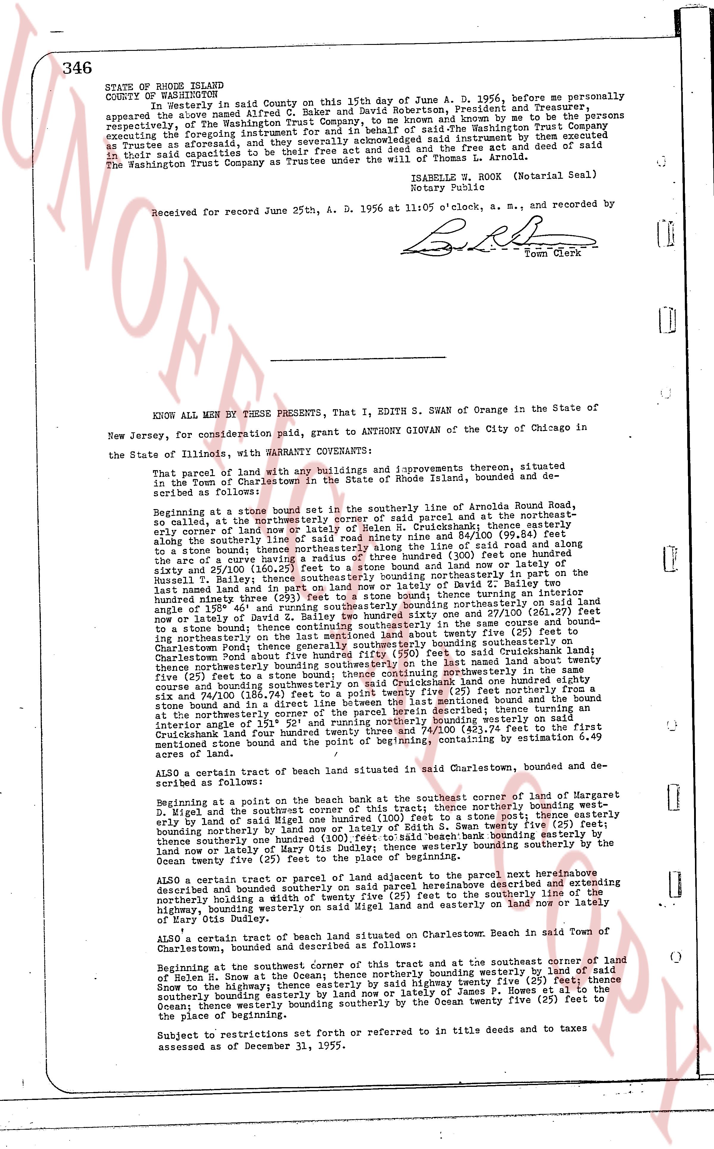
346
STATE OF RHODE ISLAND
COUNTY OF WASHINGTON
In Westerly in said county on this 15th day of June A. D. 1956, before me personally appeared the above named Alfred C. Baker and David Robertson, President and Treasurer, of The Washington Trust Company Trust, and known by me to be the persons executing the foregoing instrument for and in behalf of The Washington Trust Company as Trustees as aforesaid, they acknowledged said instrument by deed executed as Trustee in said capacities to be their free act and deed and free act of said The Washington Trust Company as Trustee under the will of James H. Arnold.
ISABELLE W. ROCK (Notarial Seal)
Notary Public
Received for record June 25th, A. D. 1956 at 11:05 o'clock, a. m., and recorded by [Signature] Town Clerk
----
KNOW ALL MEN BY THESE PRESENTS, That I, EDITH S. SWAN of Orange in the State of New Jersey, for consideration paid, grant to ANTHONY GIOVAN of the City of Chicago in the State of Illinois, with WARRANTY COVENANTS:
That parcel of land with any buildings and improvements thereon, situated located in the Town of Charlestown in the State of Rhode Island, bounded and described as follows:
Beginning at a stone bound set in the southerly line of Arnolda Round Road, southwest so called, at the northeasterly corner of said parcel and at the northeasterly edge of land in the name of Edith S. Swan on Cruikshank land there extending along the southerly line of said road ninety nine and 84/100 (99.84) feet to a stone bound; thence easterly in a line of 0° 0' 0" north 81° 0' 0" along the arc of a curve having a radius of three hundred (300) feet one hundred ninety and 25/100 (190.25) feet to the stone bound and line or fence of land of the Russell Bakery; thence northwesterly bounding northeasterly in part on the said last named land and in part on land nor nor land or lottery of David B. Smith one hundred thirty three and 10/100 (133.10) feet; thence turning an interior angle of 158° 46' and running southwesterly bounding northeasterly on said land nor nor land or lottery of David B. Smith one hundred one and 27/100 (101.27) feet to a stone bound; thence continuing southeasterly in the same course and bounding northeasterly on said land one hundred twenty five (125) feet to the southerly line of Charlestown Pond; thence generally southerly bounding southeasterly on the said Charlestown Pond thence westerly bounding southeasterly on the said land one hundred eighty five (185) feet to a stone bound; thence northwesterly in a line of 0° 0' 0" north 81° 0' 0" in a curve and bounding southeasterly on said Cruikshank land one hundred eighty six and 74/100 (186.74) feet to a stone bound; thence easterly in a line of 0° 0' 0" north 81° 0' 0" to an interior angle at the northeasterly corner of the said tract running northerly bounding westerly on said Cruikshank land four hundred twenty seven and 74/100 (427.74) feet to the first mentioned stone bound and point of beginning, containing by estimation 6.49 acres of land.
ALSO a certain tract of beach land situated in said Town of Charlestown, bounded and described as follows:
Beginning at a point on the beach bank at the southeasterly corner of land of Margaret D. Wigel and the southwest corner of this tract thence northerly bounding westerly on said land by land of said Margaret D. Wigel one hundred (100) feet to a stone bound; thence easterly bounding northerly by land nor or lottery of Edith S. Swan twenty five (25) feet; thence southeasterly bounding northerly on said beach bank bounding northeasterly on said land nor nor or lottery of Mary Otis Dudley; thence westerly bounding southerly by the Ocean twenty five (25) feet to the place of beginning.
ALSO a certain tract or parcel of land or percent of the parcel next hereinbefore described and bounded sounded described and extending the said parcel hereinabove described and extending northerly bounding a width of twenty five (25) feet to the southerly line of said highway, bounding westerly on said land nor nor and easterly on land nor nor or lottery of Mary Otis Dudley.
ALSO a certain tract of beach land situated at Charlestown, Beach in said Town of Charlestown, bounded and described as follows:
Beginning at the southeast corner of this tract and at the southeast corner of land of Helen R. Snow at the Ocean; thence northerly bounding westerly by land of said said Snow to the highway; thence easterly bounding northerly twenty five (25) feet; thence southerly bounding easterly bounding easterly by land nor nor or lottery of James P. Howes et al to the Ocean; thence westerly bounding southerly by the Ocean twenty five (25) feet to the place of beginning.
Subject to restrictions set forth or referred to in old titles and deeds and to taxes assessed as of December 31, 1955.
page 2 · read by Gemma vision
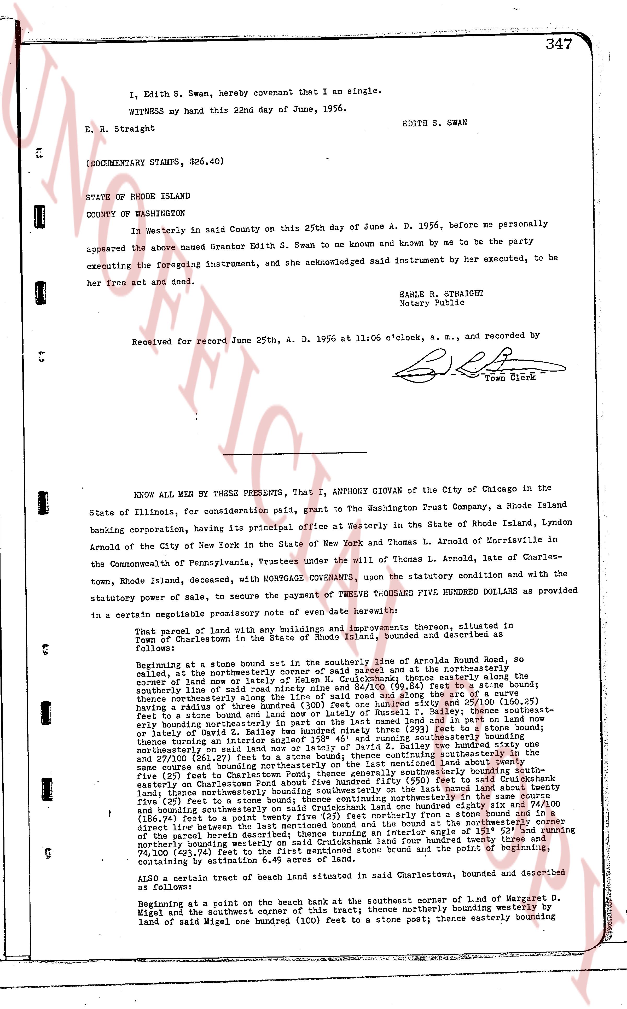
347
I, Edith S. Swan, hereby covenant that I am single.
WITNESS my hand this 22nd day of June, 1956.
EDITH S. SWAN
E. R. Straight
(DOCUMENTARY STAMPS, $26.40)
STATE OF RHODE ISLAND
COUNTY OF WASHINGTON
In Westerly in said County on this 25th day of June A. D. 1956, before me personally appeared the above named Grantor Edith S. Swan to me known and known by me to be the party executing the foregoing instrument, and she acknowledged said instrument by her executed, to be her free act and deed.
EARLE R. STRAIGHT
Notary Public
Received for record June 25th, A. D. 1956 at 11:06 o'clock, a. m., and recorded by
[Signature]
Town Clerk
----
KNOW ALL MEN BY THESE PRESENTS, That I, ANTHONY GIOVAN of the City of Chicago in the State of Illinois, for consideration paid, grant to The Washington Trust Company, a Rhode Island banking corporation, having its principal office at Westerly in the State of Rhode Island, Lyndon Arnold of the City of New York in the State of New York and Thomas L. Arnold of Morrisville in the Commonwealth of Pennsylvania, Trustees under the will of Thomas L. Arnold, of Charlestown, Rhode Island, deeded, with MORTGAGE COVENANTS, upon the statutory condition and with the statutory power of sale, to secure the payment of TWELVE THOUSAND FIVE HUNDRED DOLLARS as provided in a certain negotiable promissory note of even date herewith:
That parcel of land with any buildings and improvements thereon, situated in Town of Charlestown, County of Washington, State of Rhode Island, bounded and described as follows:
Beginning at a stone bound set in the southerly line of Arnolds Road bound, so called, at the northeasterly corner of said parcel and at the northeasterly corner of the land now or lately of H. Cruickshank; thence easterly in a southerly direction line of said parcel a distance of ninety (90) feet to a stone bound; thence northerly along the line of said road and along the arc of a curve springing radius a distance of one hundred twenty (120) feet to a stone bound (said curve having a radius of 100 feet to a point of tangency) and along the line of land now or lately of Russell T. Bailey; thence southeasterly a distance of one hundred twenty (120) feet to a stone bound; thence easterly along the line of land now or lately of David Z. Bailey a distance of two hundred ninety three (293) feet to a stone bound; thence turning an interior angle 120° and continuing easterly along the line of land now or lately of David Z. Bailey two hundred sixty one feet and 27/100 (261.27) feet to a stone bound; thence continuing easterly along the line of land now or lately of David Z. Bailey a distance of one hundred twenty (120) feet to a stone bound about twenty five (25) feet easterly to Charlestown Pond; thence generally southeasterly bound by the southerly shore of said pond a distance of one hundred twenty (120) feet to a stone bound in Cruickshank land; thence northerly bounding southeasterly on the last named land about twenty five (25) feet to a stone bound; thence northwesterly a distance of one hundred twenty (120) feet and bounding southeasterly on said Cruickshank land one hundred eighty six 74/100 (186.74) feet to a stone bound; thence northwesterly a distance of one hundred twenty (120) feet to a stone bound direct line between the last mentioned bound and the bound at the northeasterly corner of the first parcel herein described a distance of one hundred eighty six 26/100 (186.26) feet bounding northerly on Washington Trust Company on said Cruickshank land four hundred twenty three and 74,100 (423.74) feet to the first mentioned stone bound and the point of beginning, containing by estimation 6.49 acres of land more or less.
ALSO a certain tract of land situated in said Charlestown, bounded and described as follows:
Beginning at a point on the beach bank at the southeast corner of land of Margaret D. Migel and the southwest corner of this tract; thence northerly bounding westerly by land of said Migel one hundred (100) feet to a stone post; thence easterly bounding
The page as recorded