The instrument's own words
page 1 · read by Gemma vision
345
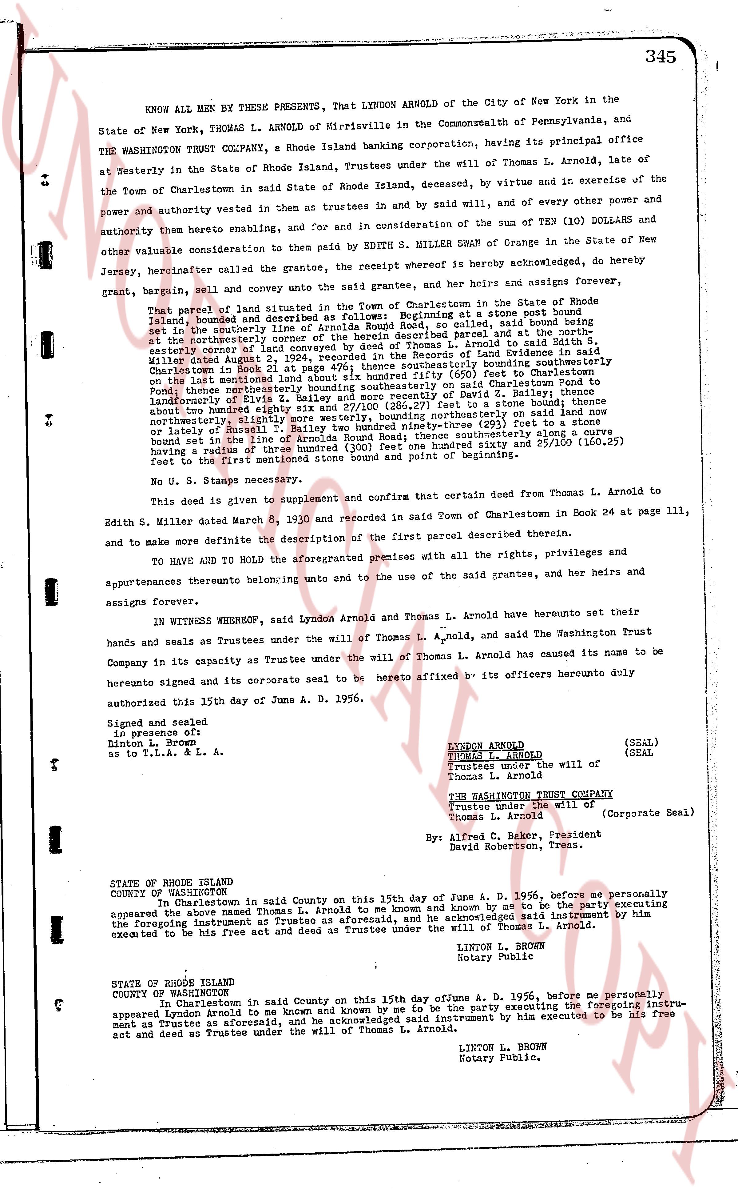
KNOW ALL MEN BY THESE PRESENTS, That LYNDON ARNOLD of the City of New York in the State of New York, THOMAS L ARNOLD of Mirrisville in the Commonwealth of Pennsylvania, and THE WASHINGTON TRUST COMPANY, a Rhode Island banking corporation, having its principal office at Westerly in the State of Rhode Island Island, Trustees under the will of Thomas L. Arnold, late of the Town of Charlestown in said State of Rhode Island Island, deceased, by virtue and in exercise of the power and authority vested in them as trustees and by said will, and of every other power and authority thereto enabling, and, for and in consideration of the sum of TEN (10) DOLLARS and other valuable consideration to them paid by EDITH S. MILLER SWAN of Orange in the State of New Jersey, hereinafter called the grantee, the receipt whereof is hereby acknowledged, do hereby grant, bargain, sell and convey unto the said grantee, her and her heirs and assigns forever,
That parcel of land situated in the Town of Charlestown in the State of Rhode Island Island, bounded and described as follows: Beginning at a stone bound point set in the southerly line of Arnolda Round Road, said called said bound point being in the southeasterly corner of the parcel of land herein described parcel and at the northeasterly corner of land conveyed by deed of Thomas L. Arnold to Mrs. Millicent L. Arnold dated August 1, 1936 and recorded in the Land Evidence records in said Charlestown in Book 21 in page 479 page 476; thence southeasterly bounding southeasterly boundary on the land mentioned above 110.00 feet to a stone bound; thence (650) feet to Charlestown Pond; thence southeasterly bounding southeasterly boundary on said Charlestown Pond to Ponding boundary thence northeasterly bounding northeasterly on deed of B. Bailey et al. to said landownerly of Rivisd x 61 2/3 and 270/100 (286.27) feet to a stone bound; thence southeasterly 110.00 feet to a stone bound; thence northeasterly on said Road thence northeasterly, slightly northwestly 310 feet to a stone bound; thence southeasterly 110.00 feet to a stone bound ninety-three (93) feet to a stone bound set in the line of Arnolda Round Road; thence southwesterly along said Road approximately bearing a south line of 260.00 feet to a stone bound marked one hundred sixty and 25/100 (160.25) feet to the first mentioned stone bound point and bound of beginning.
No U. S. Stamps necessary.
This deed is given to supplement and confirm that certain deed from Thomas L. Arnold to Edith S. Miller dated March 8, 1930 and recorded in said Town of Charlestown in Book 24 at page 111, and to make more definite the description of the first parcel described therein.
TO HAVE AND HOLD the aforementioned premises with all the rights, privileges and appurtenances thereunto belonging unto and not to the use of the said grantee, her heirs and assigns forever.
IN WITNESS WHEREOF, said Lyndon Arnold and Thomas L. Arnold have hereunto set their hands and seals as Trustees under the will of Thomas L. Arnold, and said the Washington Trust Company in its capacity as Trustee under the will of Thomas L. Arnold has caused its name to be hereunto signed and its corporate seal to be hereto affixed by its officers hereunto duly authorized this 15th day of June A. D. 1956.
Signed and sealed
in presence of:
Linton L. Brown
as to T.L.A. & L. A.
LYNDON ARNOLD (SEAL)
THOMAS L. ARNOLD (SEAL)
Trustees under the will of
Thomas L. Arnold
THE WASHINGTON TRUST COMPANY
Trustees under the will of
Thomas L. Arnold (Corporate Seal)
By Alfred C. Baker, President
David Robertson, Treas.
STATE OF RHODE ISLAND
COUNTY OF WASHINGTON
In Charlestown in said County on this 15th day of June A. D. 1956, before me personally appeared the above named Thomas L. Arnold to me known and by me to be the party executing the foregoing instrument as a Trustee aforesaid, and he acknowledged said instrument by him executed to be his free act and deed as Trustee under the will of Thomas L. Arnold.
LINTON L. BROWN
Notary Public
STATE OF RHODE ISLAND
COUNTY OF WASHINGTON
In Charlestown in said County on this 15th day of June A. D. 1956, before me personally appeared Lyndon Arnold to me known and by me known and by me to be the party executing the foregoing instrument as Trustees aforesaid, and he acknowledged said instrument by him executed to be his free act and deed as Trustee under the will of Thomas L. Arnold.
LINTON L. BROWN
Notary Public.
page 2 · read by Gemma vision
STATE OF RHODE ISLAND
COUNTY OF WASHINGTON
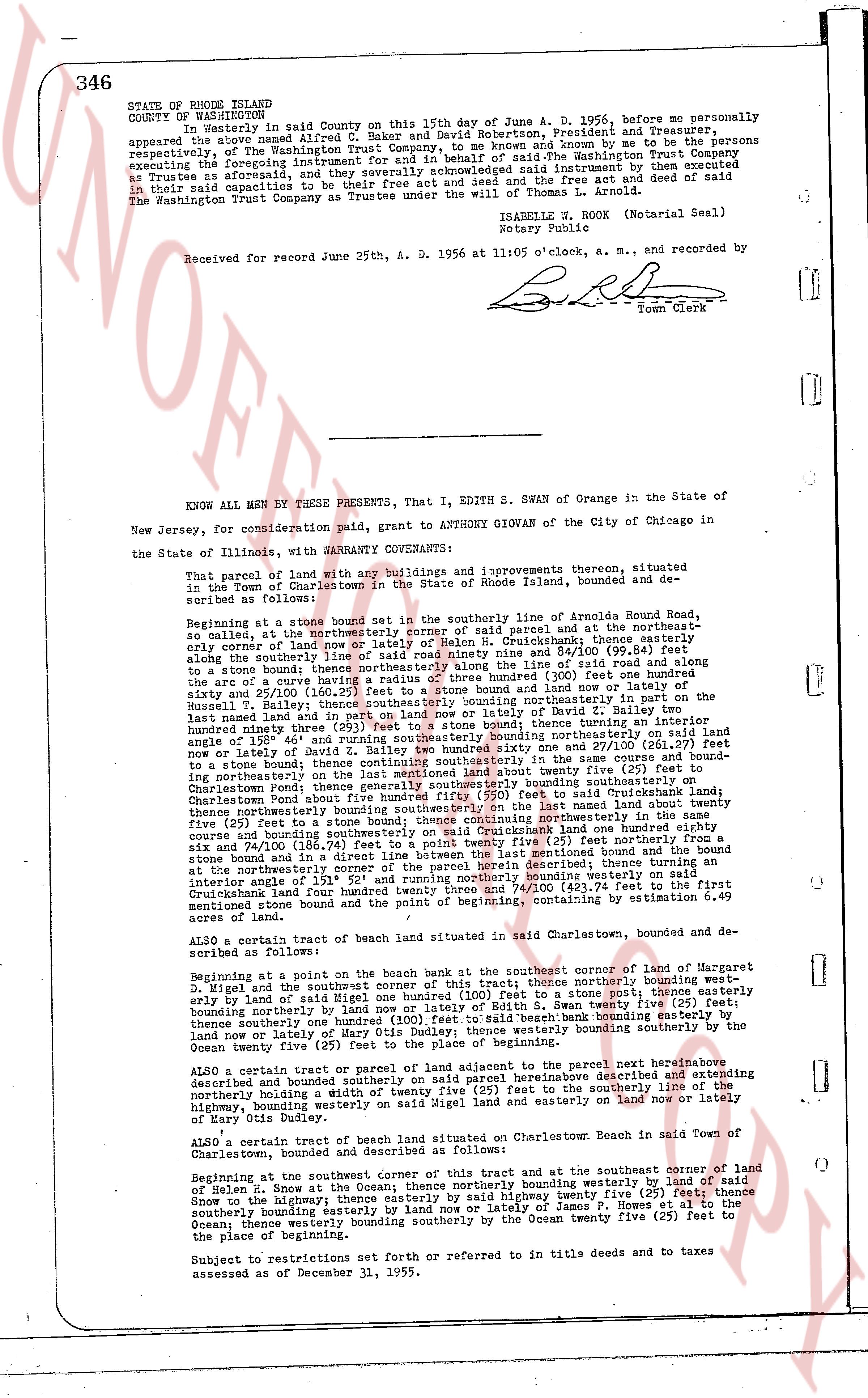
In Westerly in said County on this 15th day of June A. D. 1956, before me personally appeared the above named Alfred C. Baker and David Robertson, President and Treasurer, of the Washington Trust Company, to me known and by me to be the persons executing the foregoing instrument for and in behalf of the Washington Trust Company as Trustee as aforesaid, they acknowledged said instrument by deed executed as Trustee in said capacities to be their free act and deed and free act of said Company in their said capacities as Trustee under the will of Thomas L. Arnold.
The Washington Trust Company Trustee under the will of Thomas L. Arnold.
ISABELLE W. ROCK (Notarial Seal)
Notary Public
Received for record June 25th, A. D. 1956 at 11:05 o'clock, a. m., and recorded by
[Signature]
Town Clerk
----
KNOW ALL MEN BY THESE PRESENTS, That I, EDITH S. SWAN of Orange in the State of New Jersey, for consideration paid, grant to ANTHONY GIOVAN of the City of Chicago in the State of Illinois, with WARRANTY COVENANTS:
That parcel of land with any buildings and improvements thereon, situated located in the Town of Charlestown in the State of Rhode Island, bounded and described as follows:
Beginning at a stone bound set in the southerly line of Arnolda Round Road, so called, at the northeasterly corner of said parcel and at the northeasterly edge of land of [?] and [?] on Cushmanbank land then running easterly along the southerly line of said road ninety nine and 84/100 (99.84) feet to a stone bound; thence bearing south 15 degrees 30 minutes east along the arc of a curve having a radius of three hundred (300) feet one hundred ninety and 25/100 (190.25) feet to where said line and arc intersect; thence bearing south 15 degrees 30 minutes east 110.00 feet easterly bounding northerly in part on the land of Russell H. Bailey then running southerly in part on land of David Miller said last named land and in part on land nor northerly on land of David Miller 110.00 feet; thence turning an interior angle of 158 degrees 46 minutes and running southerly bounding northerly in part on land of [?] and [?] on Cushmanbank land one hundred seventy one and 26/100 (171.26) feet to a stone bound; thence continuing southeasterly in the same course and bounding in part easterly on land of [?] and [?] on Cushmanbank land and in part on Charlestown Pond; thence generally southerly bounding southeasterly on land of Charlestown Pond bound to a stone bound; thence to a stone bound; thence northerly bounding northerly on the land last named about twenty five (25) feet to a stone bound; thence northeasterly in part on land of [?] and [?] on Cushmanbank land one hundred eighty eight and six 74/100 (188.74) feet to a stone bound; thence an interior angle of 135 degrees 30 minutes and in a direct line between the last mentioned bound and the bound at the northeasterly corner of said road running northerly bounding westerly on said intersection of 135 degrees 30 minutes running northerly bounding westerly on said Cushmanbank land four hundred twenty seven and 74/100 (427.74) feet to the first mentioned stone bound and the point of beginning, containing by estimation 6.49 acres of land.
ALSO a certain tract of beach land situated in said Charlestown bounding and described as follows:
Beginning at a point on the beach bank at the southeasterly corner of land of Margaret D. Wigel and the southwest corner of this tract of land thence northerly bounding westerly on land of said Margaret D. Wigel one hundred (100) feet to a stone bound; thence easterly bounding northerly by land nor and lotally of Edith S. Swan twenty five (25) feet; thence southerly bounding northerly on land of said Edith S. Swan beach bound twenty five (25) feet; thence southerly bounding northerly on land of Mary Otis Dudley; the western boundary on the Ocean twenty five (25) feet to the place of beginning.
ALSO a certain tract or parcel of land or part of the parcel next hereinbefore described and bounded sounded containing said parcel hereinbefore described and extending northerly bounding a width of twenty five (25) feet to the southerly boundary of said highway, bounding westerly on land of said Edith S. Swan and easterly on land nor nor land of Mary Otis Dudley.
ALSO a certain tract of beach land situated on Charlestown Beach in said Town of Charlestown, bounded and described as follows:
Beginning at the southeast corner of this tract and at the southeast corner of land of Helen R. Snow at the Ocean; thence northerly bounding westerly on land of said Snow to the highway; thence easterly bounding northerly twenty five (25) feet; thence southerly bounding easterly bounding easterly by land nor nor land of James P. Howes et al to the Ocean; thence westerly bounding southerly by the Ocean twenty five (25) feet to the place of beginning.
Subject to restrictions set forth or referred to in old deeds and to taxes assessed as of December 31, 1955.
The page as recorded