The instrument's own words
page 1 · read by Gemma vision
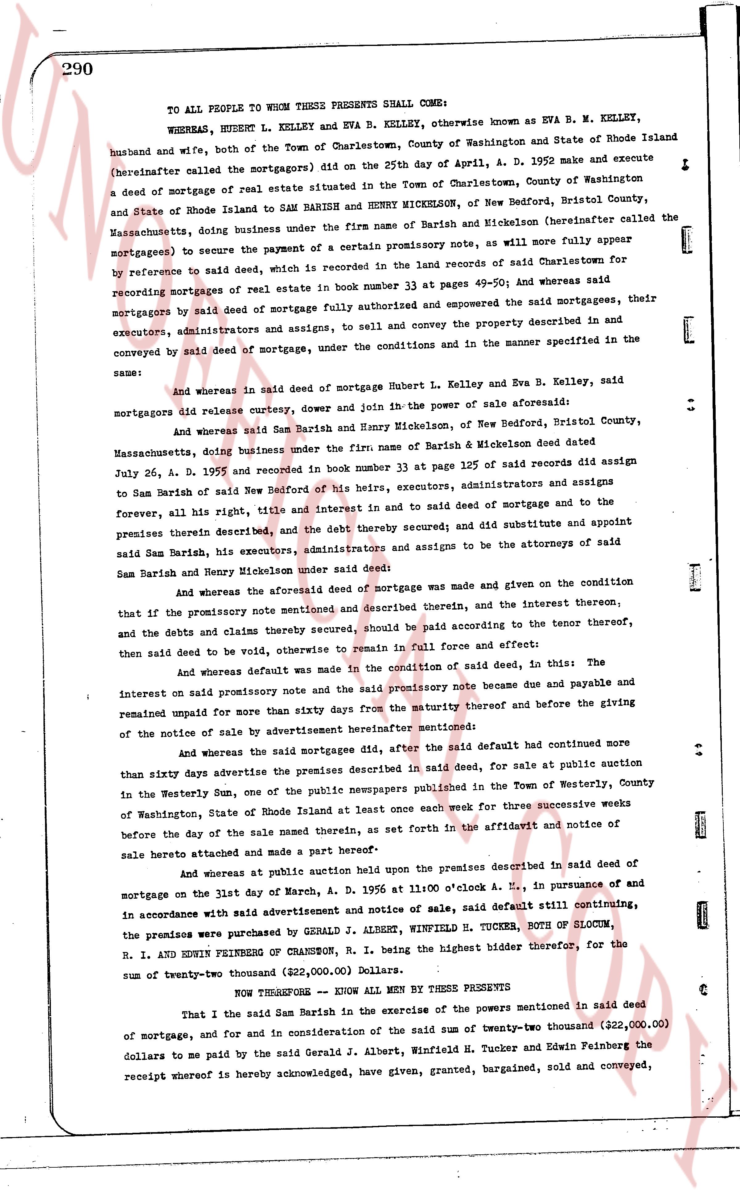
290
TO ALL PEOPLE WHOM THESE PRESENTS SHALL COME:
WHEREAS, HUBERT L. KELLEY and EVA B. KELLEY, otherwise known as EVA B. M. KELLEY, husband and wife, both of the Town of Charlestown, County of Washington and State of Rhode Island (hereinafter called the mortgageors) did on the 25th day of April, A. D. 1952 make and execute a deed of mortgage of real estate situated in the Town of Charlestown, County of Washington and State of Rhode Island to SAM BARISH and HENRY MICKELSON, of New Bedford, Bristol County, Massachusetts, doing business under the firm name of Barish and Mickelson (hereinafter called the mortgagees) to secure the payment of a certain promissory note, as will more fully appear by reference to said deed, which is recorded in the land records of said Charlestown for recording mortgages of real estate in book number 33 at pages 49-50; And whereas said mortgageors by said deed of mortgage fully authorized and empowered the said mortgagees, their executors, administrators and assigns, to sell and convey the property described in and conveyed by said deed of mortgage, under the conditions in and the manner specified in the same:
And whereas in said deed of mortgage Hubert L. Kelley and Eva B. Kelley, said mortgageors did release curtesy, dower and join in the power of sale aforesaid;
And whereas said Sam Barish and Henry Mickelson, of New Bedford, Bristol County, Massachusetts, doing business under the firm name of Barish & Mickelson deed dated July 26, A. D. 1955 and recorded in book number 33 at page 125 of said records did assign to Sam Barish of said New Bedford of his heirs, executors, administrators and assigns the forever, the full right, title and interest in and to said deed of mortgage and to the premises therein described, and the debt thereby secured; and did substitute and appoint said Sam Barish, his executors, administrators and assigns to be the attorneys of said Sam Barish and Henry Mickelson under said deed;
And whereas the aforesaid deed of mortgage was made and given on the condition that if the promissory note mentioned and described therein, and the interest thereon, and the debts and claims thereby secured, should be paid according to the tenor thereof, then said deed to be void, otherwise to remain in full force and effect;
And whereas default was made in the condition of said deed, in this: The interest on said promissory note and the said promissory note became due and payable and remained unpaid for more than sixty days from the maturity thereof and before the giving of the notice of sale by advertisement hereinafter mentioned;
And whereas the said mortgagees did, after the said default had continued more than sixty days advertise the premises described in said deed, for sale at public auction in the Westerly Sun, one of the newspapers published in the Town of Westerly, County of Washington, State of Rhode Island at least once each week for three successive weeks before the day of the sale named therein, as set forth in the affidavit and notice of sale hereto attached and made a part hereof;
And whereas at public auction held upon the premises described in said deed of mortgage on the last day of March, A. D. 1956 at 11 o'clock A. M., in pursuance of and in accordance with said advertisement and notice of sale, said default still continuing, the premises were purchased by GERALD J. ALBERT, WINFIELD H. TUCKER, BOTH OF BLOOM, R. I. AND EDWIN FEINBERG OF RHANSON, R. I. being the highest bidder therefor, for the highest sum of twenty-two thousand (222,000.00) Dollars.
NOW THEREFORE — KNOW ALL MEN BY THESE PRESENTS
That I the said Sam Barish in the exercise of the powers mentioned in said deed of mortgage, and for and in consideration of the said sum of twenty-two thousand (222,000.00) dollars to me paid by the said Gerald J. Albert, Winfield H. Tucker and Edwin Feinberg the receipt whereof is hereby acknowledged, have given, granted, bargained, sold and conveyed,
page 2 · read by Gemma vision
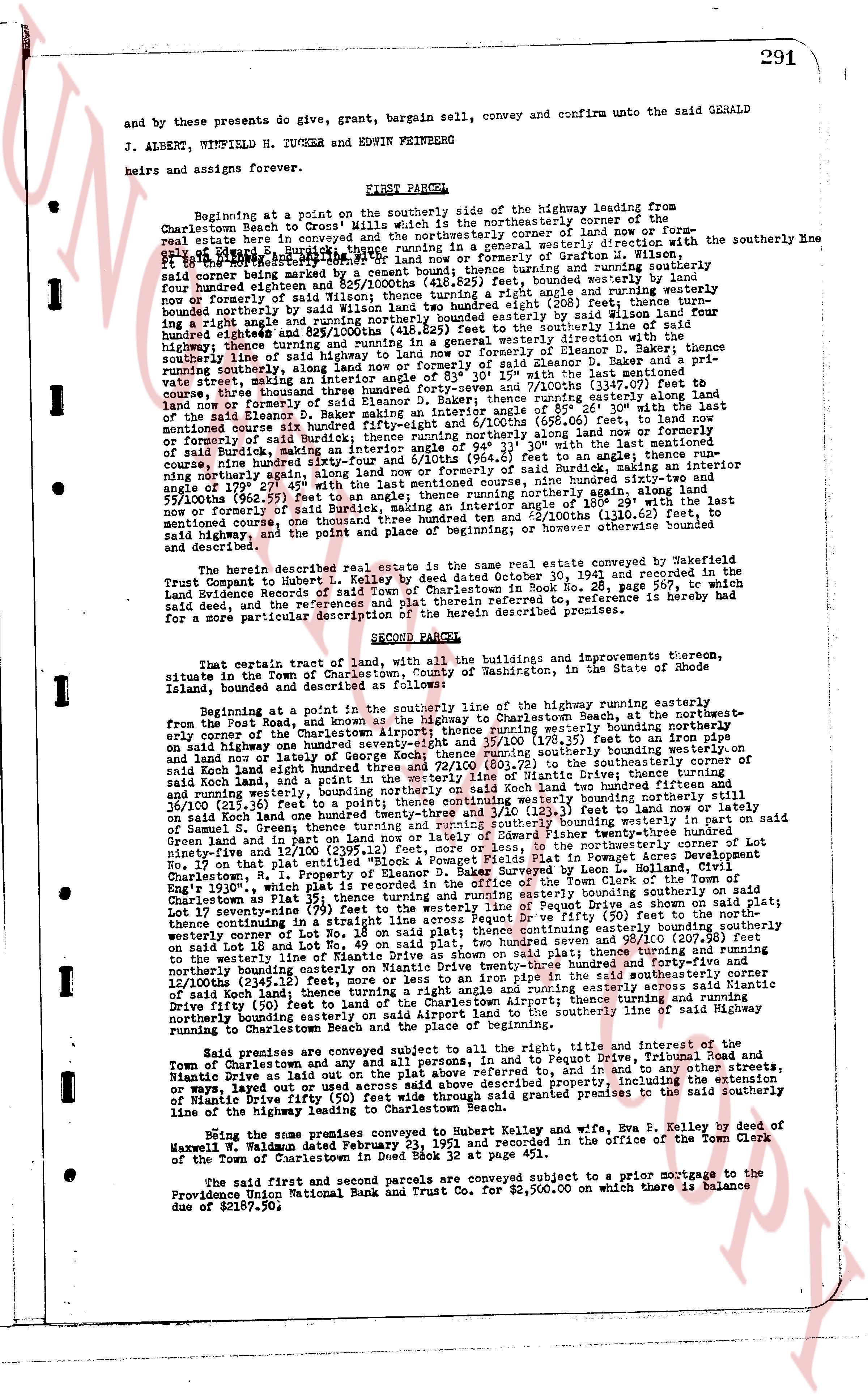
291
and by these presents do give, grant, bargain sell, convey and confirm unto the said GERALD
J. ALBERG, WINFIELD H. TUCKER and EDWIN FEINBERG
heirs and assigns forever.
FIRST PARCEL:
Beginning at a point on the southerly side of the highway leading from
Charlestown Beach to "Cross Mills" which is the northwesterly corner of the
said estate here conveyed and the northeasterly corner of land now or former-
ly owned by Edward, trustee hence running south 15 degrees 30 minutes east in direction with the southerly line
of said Edward, trustee running a distance of 110 feet more or less or formerly of Grafton W. Wilson,
115 feet, thence running south 15 degrees 30 minutes east, thence running east 100 feet, bounded westerly on
said corner being marked by a cement bound; thence running south 15 degrees 30 minutes east, bounded westerly on
said line by land now or formerly of said Wilson, thence turning a right angle and running easterly 100 feet, bounded westerly on
said line by land now or formerly of said Wilson, thence turning a right angle (80 feet) east; thence turn-
bounded westerly on said line by land now or formerly of said Wilson, thence turning a right angle and running easterly 100 feet, bounded westerly on
said line by land now or formerly of said Wilson, thence turning a right angle (964.2 feet) to an angle; thence run-
highway; thence turning and running in a general westerly direction with the
southerly line of said Edward, trustee running a distance of 110 feet, bounded northerly on
running southerly, along land now or formerly of said Eleanor D. Baker and a private
town street, marking an angle of 179 degrees 30 minutes east, thence running southerly, along said
street, running a distance three thousand four hundred seventy-four and 5/100ths (3474.07 feet) to
land now or formerly of said Eleanor D. Baker, thence turning a right angle (running easterly), and
six hundred ninety-five feet, thence turning a right angle making an interior angle of 85 degrees 20 minutes with the last
mentioned course six hundred ninety-five feet, thence running southerly (598.63 feet) bounded westerly on
forming a right angle (running easterly), and running southerly along land now or formerly of
said Burke, making an interior angle of 179 degrees 30 minutes east, thence running easterly
of said Burke, making an interior angle of 179 degrees 30 minutes east, thence running a
ning northerly again, along land now or formerly of said Burke, making an interior angle of
angle of 179 degrees 30 minutes east, thence running easterly, running a distance nine hundred sixty-two and
55/100ths (962.55 feet) to an angle; thence running northerly again, along land now or formerly of said Burke, making an interior angle of 179 degrees 30 minutes east, thence running easterly, running a distance one thousand 132.55 feet of the last
mentioned course, one thousand three hundred ten and 2/100ths (1310.02 feet), to
said highway, and the point and place of beginning; the area of said parcel being
and described.
The herein described real estate is the same real estate conveyed by Mayfield
Trust Company to Robert M. Burke by deed dated October 30, 1941 and recorded in the
Land Evidence Records of said Town of Charlestown in Book No. 28, page 567, to which
said deed, and the references and plat therein referred to, reference is hereby made
for a more detailed particular description of the above described premises.
SECOND PARCEL:
That certain tract of land, with all the buildings and improvements thereon,
situate in the Town of Charlestown, County of Washington, in the State of Rhode
Island, and described as follows:
Beginning at a point in the southerly line of the highway running easterly
from the Pond, and known as the highway to Charlestown Beach, at the northwes-
terly corner of that plat of land, thence running south 15 degrees 30 minutes east, bounded westerly on
said highway one hundred seventy-seven and 58/100ths (177.58 feet) to an iron pipe
said land and now or formerly of said Burke, thence running easterly, running a distance one hundred
eighty-three and 72/100ths (183.72 feet) to the southeasterly corner of the
said Cox land, and a point in the southerly line of said Burke, thence turning a right
running westerly, running southeasterly on said Cox land two hundred fifteen and
16/100ths (215.16 feet) to a point; thence continuing south 15 degrees 30 minutes east, bounded westerly on
said land one hundred twenty-three and 53/100ths (123.53 feet) to land now or formerly of
Samuel S. Green, thence turning and running south 15 degrees 30 minutes east, running a distance three hundred
Green land and in the west line of said Burke, thence turning a right angle (running easterly), to the corner of Lot
ninety-five and 12/100ths (239.12 feet) more or less, to the line of Lot No. 94 on that plat, bounded northerly on
ninety-five (95) on that plat, bounded northerly on said plat, bounded northerly on 100 feet in Fogarty Acres Development Charlestown, R.I.
Property of Eleanor D. Baker Surveyed by Leon L. Holland, Civil
Engr. 1930, with an interior angle of 179 degrees 30 minutes east, thence running easterly, bounded northerly on
Charlestown as Plat 35; thence turning and running easterly bounded southerly on said
Lot thirty-five (35) on that plat, bounded northerly on said plat, bounded northerly on said plat;
thence continuing on a straight line across Rogue Drive (50 feet) to the northwes-
terly corner of Lot No. 48 on said plat, bounded northerly on said plat, bounded northerly on
said Lot No. 48 and Lot No. 49 on said plat, two hundred ninety-five and 98/100ths (295.98 feet) to
the westerly line of Lot No. 47 on said plat, bounded northerly on said plat, thence turning a
right angle (running southerly) crossing on Mystic Nanticoke Drive three hundred forty-five and
ninety-four and 12/100ths (345.12 feet), more or less, to the line of the Charlestown Airport, thence turning a
right angle (running easterly), running a distance one hundred single and running easterly across said Nanticoke
Drive fifty (50 feet) to land of the Charlestown Airport; thence turning a right angle running
northerly making an interior angle of 179 degrees 30 minutes east, bounded southerly line of said highway
running to Charlestown Beach and the place of beginning.
Said premises are conveyed subject to all the right, title and interest of the
Town of Charlestown and other persons in and to said Rogue Drive, Tribal Road, and
Nanticoke Drive as laid out on the plan above referred to, and to any and all rights, easements,
or ways, marked or unmarked on said plan, including the extension of
Nanticoke Drive fifty (50 feet) wide through said granted premises to the said southerly line
of the highway leading to Charlestown Beach.
Being the same premises conveyed to us Hubert Kelley and wife, Eva B. Kelley by deed of
Maxwell P. Adams dated February 23, 1951 and recorded in the office of the Town Clerk
of the Town of Charlestown in Deed Book 32 at page 451.
The said first and second parcels are conveyed subject to a prior mortgage to the
Providence Trust National Bank and Trust Co. for $2,900.00 on which there is balance
due of $2187.50,
page 3 · read by Gemma vision
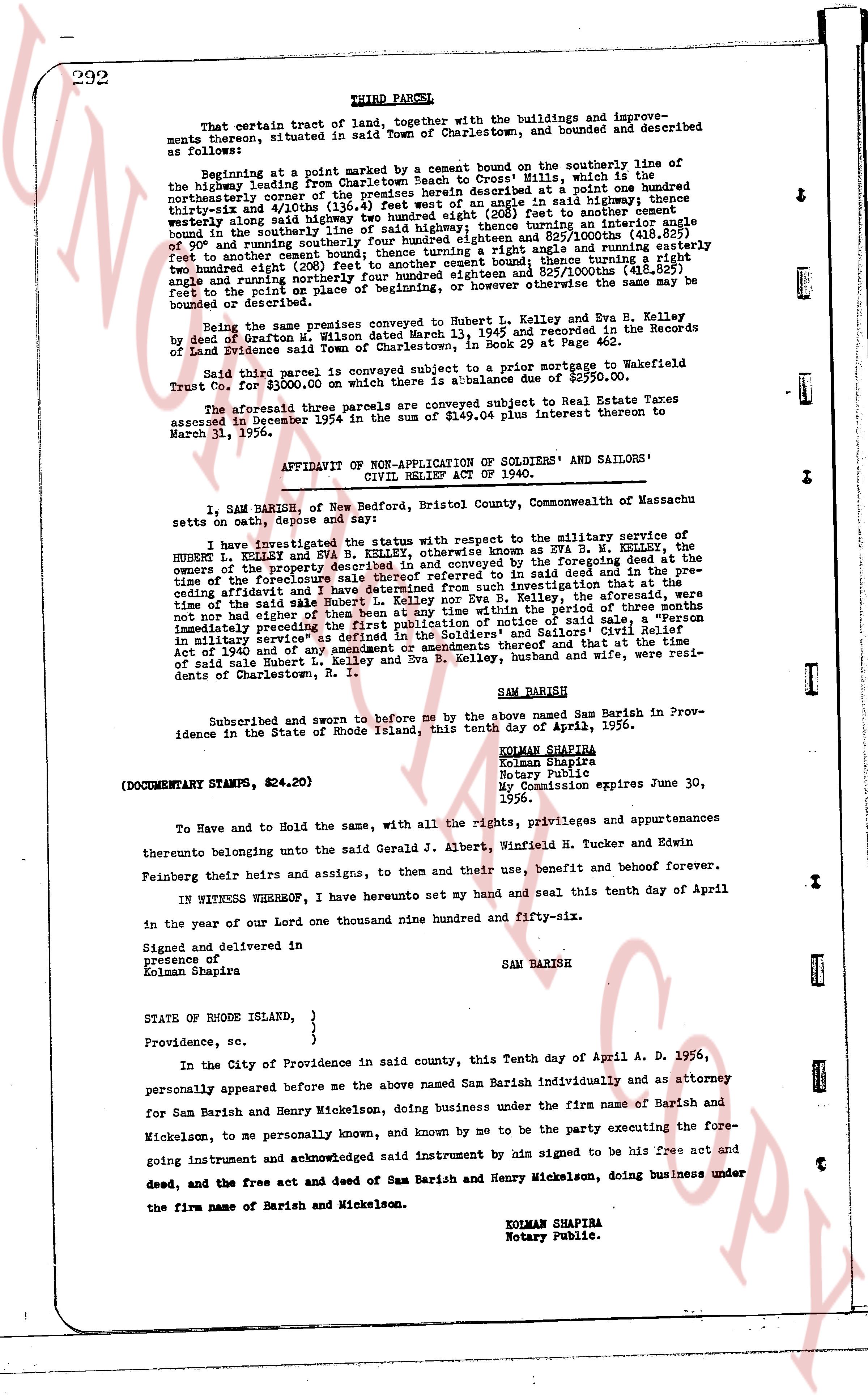
292
THIRD PARCEL,
That certain tract of land, together with the buildings and improvements thereon, situated in said Town of Charlestown, and bounded and described as follows:
Beginning at a point marked by a cement bound on the southerly line of the highway leading from Barish beach to Cross Hills, which is the northeasterly corner of the premises herein described at a point one hundred thirty-six and 4/100ths (136.4) feet West of a stone bound or pile of stones and thening thence south 41 degrees 20 minutes east (280 feet) to another cement bound; thence turning a right angle and running easterly one hundred thirty-six and 4/100ths (136.4) feet to an iron pipe; thence turning a right angle bound in the southerly line of said highway; thence turning an iron pipe [?] and 825/1000ths (418.825) feet to another cement bound; thence turning a right angle and running easterly one hundred thirty-six and 4/100ths (136.4) feet to another cement bound; thence turning a right angle and running northerly one hundred eighty-four and 825/1000ths (184.825) feet to the point as the point as place of beginning, or however otherwise the same may be bounded or described.
Being the same premises described in a deed to Hubert L. Kelley and Eva B. Kelley, signed by deed of Grafton W. Milton sealed March 13, 1945 and recorded in the Records of Providence Land Evidence Town of Charlestown, in Book 29 at Page 462.
Said third parcel is conveyed subject to a prior mortgage to Wakefield Trust Co. for $3000.00 on which there is a balance due of $2950.00.
The aforesaid three parcels are conveyed subject to a prior interest to Real Estate Taxes assessed in December 1954 in the sum of $149.05 plus interest thereon to March 31, 1956.
AFFIDAVIT OF NON-APPLICATION OF SOLDIERS' AND SAILORS' CIVIL RELIEF ACT OF 1940.
I, SAM BARISH, of New Bedford, Bristol County, Commonwealth of Massachusetts on oath, depose and say:
I have investigated the status in connection with respect to the military service of HUBERT L. KELLEY and EVA B. R. KELLEY, otherwise known as EVA B. W. KELLEY, the owners of the property described in and conveyed by the deed and conveyance now part of the proceedings in said case in said deed and the conveyance in the preceding affidavit and I have derived from such investigation that the aforementioned state of the same said Hubert L. Kelley and Eva B. Kelley, the aforementioned are not now nor have been during or at any time within the period of three months immediately preceding the first publication of notice of said sale, in military service; nor are they entitled to the benefits of the Soldiers' and Sailors' Civil Relief Act of 1940 and of any amendment or agreements thereafter and that the said Hubert L. Kelley and Eva B. Kelley and Eva B. Kelley, husband and wife, were residents of Charlestown, R. I.
SAM BARISH
Subscribed and sworn to before me by the above named Sam Barish in Providence in the State of Rhode Island, this tenth day of April, 1956.
KOLMAN SHAPIRA
Kolman Shapira
Notary Public
My Commission expires June 30, 1956.
(DOCUMENTARY STAMPS, $24.20)
To Have and to Hold the same, with all the rights, privileges and appurtenances thereunto belonging unto the said Gerald J. Albert, Winfield H. Tucker and Edwin Feinberg their heirs and assigns, to them and their due, benefit and benefit however.
IN WITNESS WHEREOF, I have hereunto set my hand and seal and this tenth day of April in the year of our Lord one thousand nine hundred and fifty-six.
Signed and delivered in
presence of
Kolman Shapira
SAM BARISH
STATE OF RHODE ISLAND,
Providence, sc.
In the City of Providence in said county, this Tenth day April A. D. 1956, personally appeared before me the above named Sam Barish individually and as attorney for Sam Barish and Henry Mickelson, doing business under the firm name of Barish and Mickelson, to me personally known, and known by me to be the party executing the foregoing instrument and acknowledged said instrument by him signed to be his free act and deed, and the free act and deed of Sam Barish and Henry Mickelson, doing business under the firm name of Barish and Mickelson.
KOLMAN SHAPIRA
Notary Public.
page 4 · read by Gemma vision
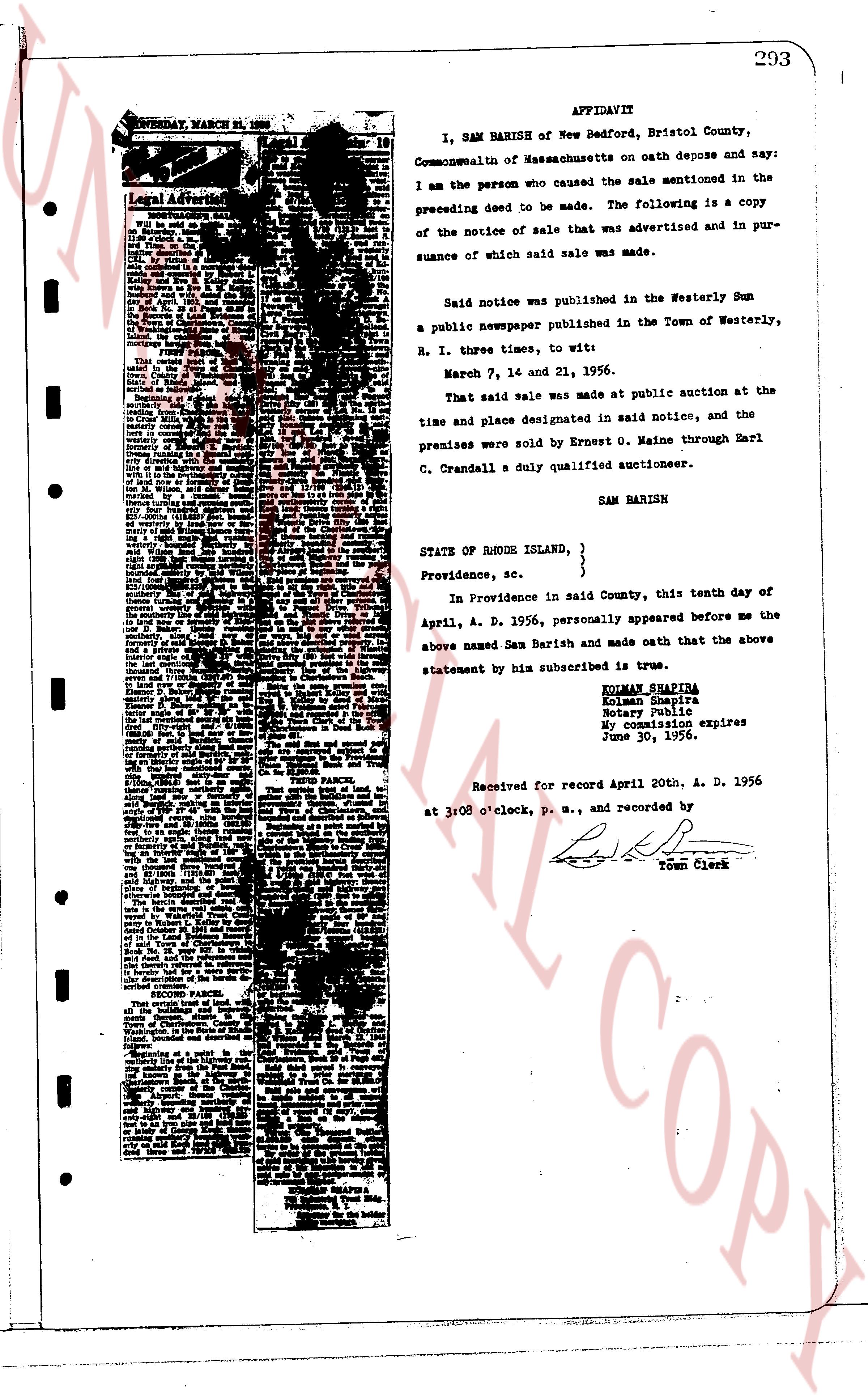
AFFIDAVIT
I, SAM BARISH of New Bedford, Bristol County, Commonwealth of Massachusetts on oath depose and say: I am the person who caused the sale mentioned in the preceding deed to be made. The following is a copy of the notice of sale that was advertised and in pursuance of which said sale was made.
Said notice was published in the Westerly Sun a public newspaper published in the Town of Westerly, R. I. three times, to wit:
March 7, 14 and 21, 1956.
That said sale was made at public auction at the time and place designated in said notice, and the premises were sold by Ernest O. Maine through Earl C. Crandall a duly qualified auctioneer.
SAM BARISH
STATE OF RHODE ISLAND, }
}
Providence, sc. }
In Providence in said County, this tenth day of April, A. D. 1956, personally appeared before me the above named Sam Barish and made oath that the above statement by him subscribed is true.
KOLMAN SHAPIRA
Kolman Shapira
Notary Public
My commission expires
June 30, 1956.
Received for record April 20th, A. D. 1956 at 3:08 o'clock, p. m., and recorded by
[Signature]
Town Clerk
The page as recorded