The instrument's own words
page 1 · read by Gemma vision
237
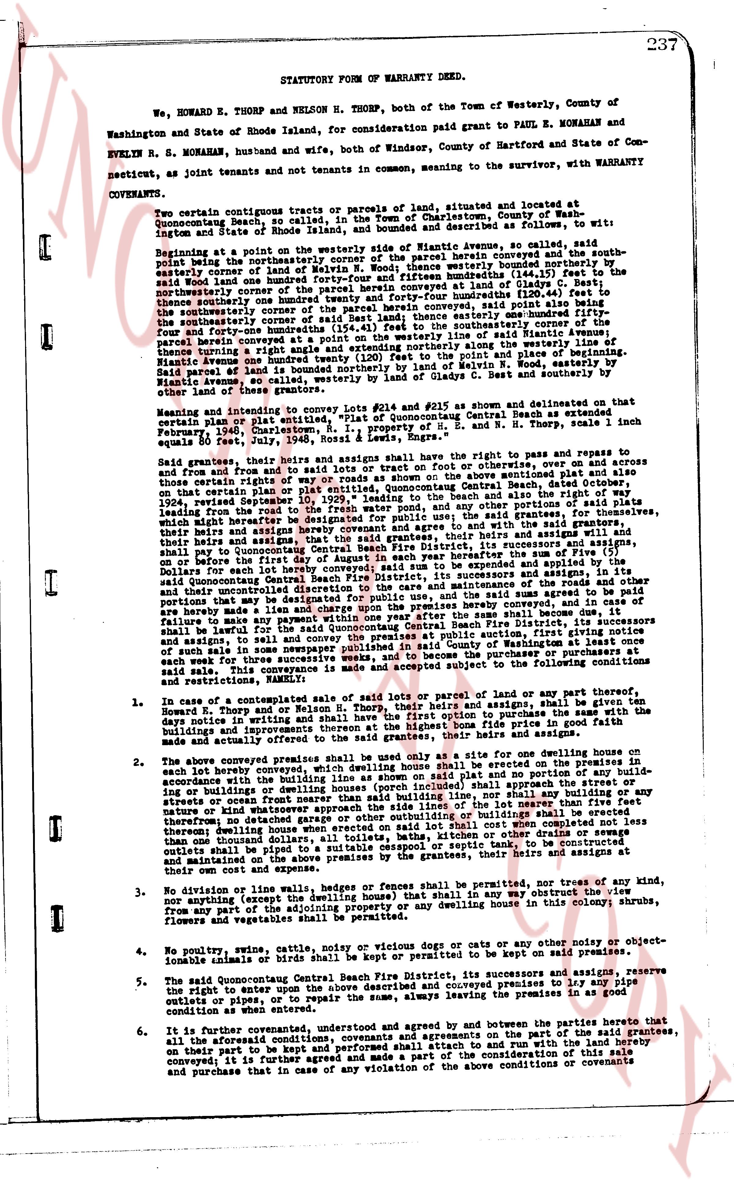
STATUTORY FORM OF WARRANTY DEED.
We, HOWARD E. THORP and NELSON H. THORP, both of the Town of Westerly, County of Washington and State of Rhode Island, for consideration paid grant to PAUL E. MONAHAN and EVELYN R. S. MONAHAN, husband and wife, both of Windsor, County of Hartford and State of Connecticut, as joint tenants and not tenants in common, meaning to the survivor, with WARRANTY COVENANTS.
I concur certain contiguous tracts or parcels of land, situated and located at Quonsetacong beach, so called, in the Town of Charlestown, County of Washington, ingot and State of Rhode Island, and bounded as described as follows, to wit:
Beginning at a point on the westerly side of Miami Avenue, so called, said point being the northeasterly corner of the parcel herein conveyed and the southeasterly corner of land of Melvin W. Nooh, thence westerly 100 feet to the southeasterly corner of land of Melvin W. Nooh, thence northerly one hundredths (144.44ts) feet to the said northeasterly corner of the parcel herein conveyed at Glade St, thence easterly one hundredths (120.66ts) feet to the northeasterly corner of the parcel herein conveyed at Glade St, thence southerly one hundredths (144.44ts) feet to the southeasterly corner of land of Melvin W. Nooh, thence easterly one hundredths (120.66ts) feet to the southwesterly corner of the parcel herein conveyed, said point also being the southeasterly corner of land of Melvin W. Nooh, thence easterly one hundredths (144.44ts) feet to the southeasterly corner of the parcel herein conveyed (154.44ts) feet to the southeasterly corner of the parcel herein conveyed at Miami Avenue, thence turning a right angle and extending northerly along the westerly line of Miami Avenue one hundred twenty (120) feet to the said point and thence westerly 100 feet, said parcel of land being all or substantially northerly by land of Melvin W. Nooh, easterly by Miami Avenue, so called, northerly by land of Gladys C. Best and southerly by other land of these parties.
Meaning and intending to convey lots #214 and #215 as shown and delineated on that certain plan or plat entitled "Plat of Quonsetacong Central Beach as extended" February, 1941, charted by R. S. Rossi, and L. Howard E. Thorp, said lots each equals 80 feet, July 24, 1936, Rossi & Lewis, Engineers.
said grantees, their heirs and assigns shall have the right to pass and repass to and from and to the said premises by the public roads or on otherwise, over and across and onto other certain rights of way or roads as shown on the above mentioned plat dated October 24, 1936, recorded September 10, 1939, leading to the beach and also the right of way along said roads leading from the road to the beach for residential purposes for the public use; the said grantees, for themselves, their heirs and assigns hereby covenant and agree that the grantees, their heirs and assigns will by their heirs and assigns hereby covenant and agree that the grantees, their heirs and assigns will by their heirs and assigns hereby covenant and agree that the grantees, their heirs and assigns will pay to the Quonsetacong Central Beach Fire District, its successors and assigns, on or before the first day of June of each and every year hereafter the sum of Five ($) Dollars for each lot hereby conveyed; said sum to be paid to the said Quonsetacong Central Beach Fire District, its successors and assigns, in full and their uncontrolled discretion to the care and maintenance of the said fire district, and in the event that the said sum of Five ($) Dollars shall not be paid as agreed to be paid are hereby made a lien and charge upon the premises hereby conveyed, and in the event of failure to pay the said sum of Five ($) Dollars as aforesaid, the said Quonsetacong Central Beach Fire District, its successors and assigns, shall be lawful for the said Quonsetacong Central Beach Fire District, its successors and assigns, to join in a suit to foreclose said lien and charge, and to sell the premises at public sale in such manner as provided by law, and such sale shall be published in said County of Washington at least once each week for three successive weeks immediately prior to the date of such sale, and the proceeds of such sale this conveyance is made and accepted subject to the following conditions and restrictions, namely:
1. In case of a contemplated sale of said lots or parcel of land or any part thereof, Howard E. Thorp and/or Nelson H. Thorp, their heirs and assigns, shall be given ten days notice in writing and on the request of the said Thorp, shall have the right to purchase the said land and improvements thereon at the highest bone fide price in good faith made and actually offered to the said grantees, their heirs and assigns.
2. The above conveyed premises shall be used only as a site for one dwelling house on each lot hereby conveyed, such dwelling house shall be erected and maintained in accordance with the building line as shown on said plat and no portion of the building or improvements thereon shall extend beyond said line, and all apparent streets or stresses or roads open front nearer than said building line, nor shall any building or any structure of nature and kind whatever stand anywhere on said plat, and no other building or structure thereon dwelling house together with other buildings or outbuildings shall be erected thereunto, including garages, porches, baths, kitchens or other drains or sewages than outlined during dwelling house or extending on the septic tank, and all such drains or outlets shall be piped to a suitable cesspool or septic tank, and the said grantees, their heirs and assigns at their own cost and expense.
3. No diving boards, walls or hedges, fences or railings shall be permitted, nor trees of any kind, nor diggings or excavations (on the dwelling house) that shall in any way obstruct the view from any part of the adjoining property or any dwelling house in this colony shrubs, flowers and vegetables shall be permitted on the premises.
4. No poultry, swine, cattle, goats nor voicey dogs or cats or any other nosy or objectionable animals of any kind shall be kept or permitted to be kept on said premises.
5. The said Quonsetacong Central Beach Fire District, its successors and assigns, reserve the right to enter upon the above described and conveyed premises to lay any pipe outlets or pipes, or to repair the same, always the premises in as good condition as when such work was done.
6. It is further covenanted, understood and agreed by and between the parties hereto that all the aforesaid conditions, covenants and agreements on the part of the said grantees, on their part to be performed and observed shall run with and the land the hereby conveyed; it is further agreed and made a part of the consideration of this sale and purchase that in case of any violation of the above conditions or covenants
page 2 · read by Gemma vision
238
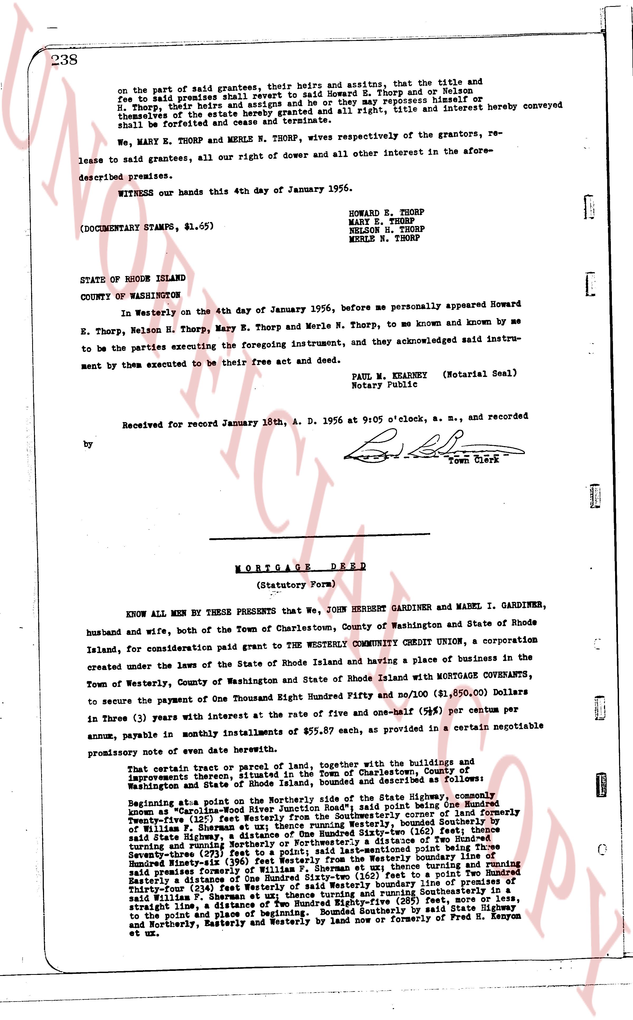
on the part of said grantees, their heirs and assitns, that the title and fee to said premises shall revert to said Howard E. Thorp and or Nelson H. Thorp, their heirs and assigns and he or they may repossess himself or Thorp, their heirs the entire herein granted premises and all right, title and interest hereby conveyed shall be forfeited and cease and terminate.
Now, MARY E. THORP and MERLE N. THORP, wives respectively of the grantors, release to said grantees all our right of dower and all other interest in the aforesaid described premises.
WITNESS our hands this 4th day of January 1956.
HOWARD E. THORP
MARY E. THORP
NELSON H. THORP
MERLE N. THORP
(DOCUMENTARY STAMPS, $1.65)
STATE OF RHODE ISLAND
COUNTY OF WASHINGTON
In Westerly on the 4th day of January 1956, before me personally appeared Howard E. Thorp, Nelson H. Thorp, Mary E. Thorp and Merle N. Thorp, to me known and known by me to be the parties executing the foregoing instrument, and they acknowledged said instrument by them executed to be their free act and deed.
PAUL W. KEARNEY (Notarial Seal)
Notary Public
Received for record January 18th, A. D. 1956 at 9:05 o'clock, a. m., and recorded
by [Signature]
Town Clerk
----
MORTGAGE DEED
(Statutory Form)
KNOW ALL MEN BY THESE PRESENTS that We, John HERBERT GARDINER and MABEL I. GARDINER, husband and wife, both of the Town of Charlestown, County of Washington and State of Rhode Island, for consideration paid grant to the WESTERLY COMMUNITY CREDIT UNION, a corporation created under the laws of the State of Rhode Island and having a place of business in the Town of Westerly, County of Washington and State of Rhode Island with MORTGAGE COVENANTS, to secure the payment of One Thousand Eight Hundred Ninety five and no/100 ($1,895.00) Dollars in Three (3) years with interest at the rate of five and one-half (%) per centum per annum, payable in monthly installments of $55.87 each, as provided in a certain negotiable promissory note of every date herein with above.
That certain plot or parcel of land, together with the buildings and improvements thereon situated in the Town of Charlestown, County of Washington and State of Rhode Island, bounded and described as follows:
Beginning at a point Northerly on the centerline of the State Highway, commonly known as "Woodland Highway" in said Town, and running South East one Hundred Twenty-five (125') feet Westerly from the Southwesterly corner of land formerly owned by William F. Sherman at one (1) time, thence running Southerly a distance of one hundred fifty (150) feet, along the State Highway, a distance of One Hundred Sixty-two (162) feet; thence turning and running Northerly a distance of one hundred fifty (150) feet, thence running Northwesterly a distance of one hundred sixty-two (162) feet to a point; said last-mentioned point being Three Hundred Ninety-six (396) feet Westerly from the boundary line of land formerly owned by William F. Sherman at one (1) time, thence turning and running Easterly a distance of One Hundred Sixty-two (162) feet to a point; thence turning and running Northerly a distance of one hundred fifty (150) feet to the Westerly boundary line of premises of said William F. Sherman at one (1) time, thence turning and running Southeasterly a distance of one hundred twenty-five (125) feet, more or less, to a straight line to the point and place of beginning. Bounded Southerly by said State Highway and Northerly, Easterly and Westerly by land now or formerly of Fred B. Kenyon et ux.
The page as recorded