The instrument's own words
page 1 · read by Gemma vision
77
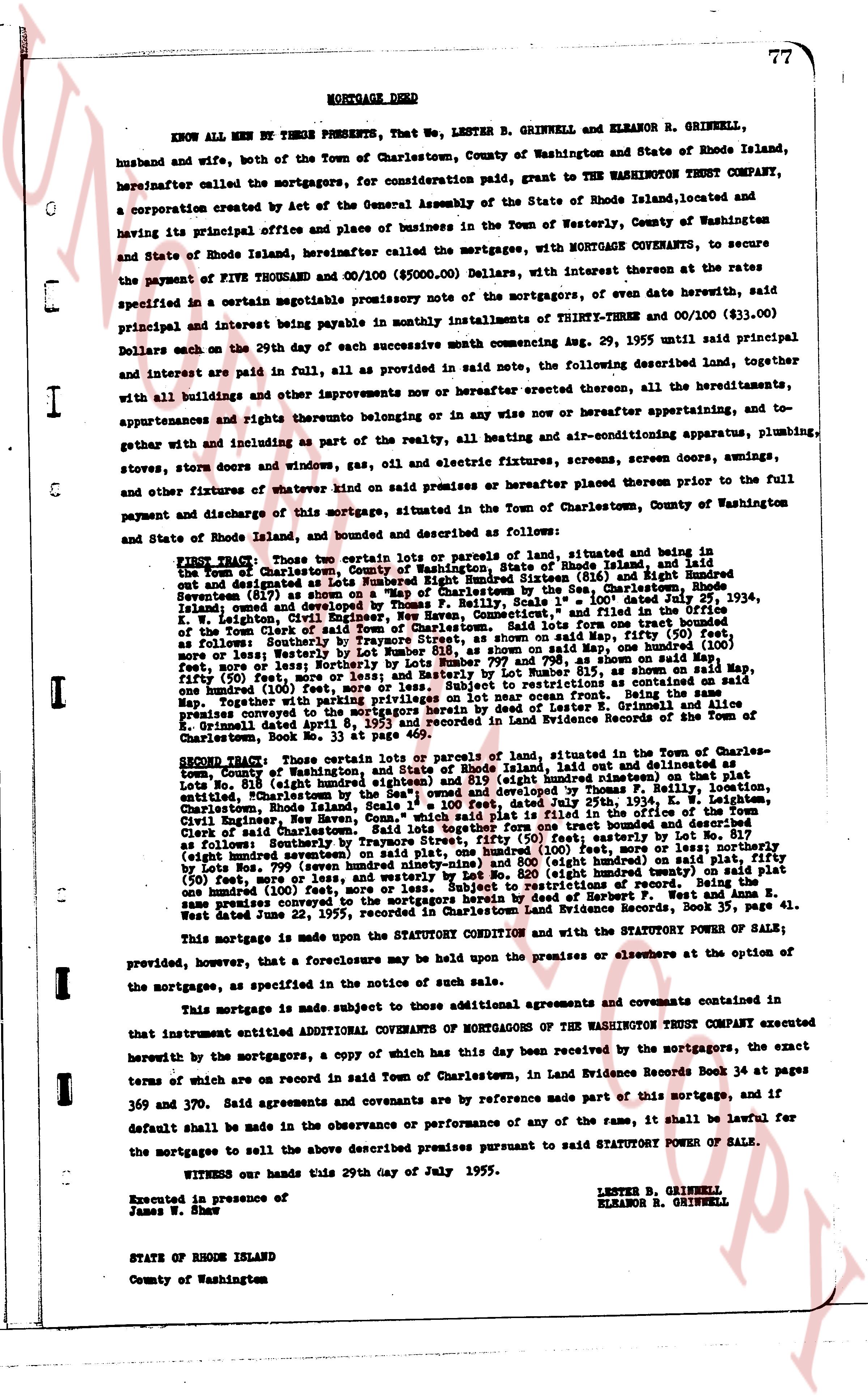
MORTGAGE DEED
KNOW ALL MEN BY THESE PRESENTS, That we, LENSTER B. GRINKELL and ELEANOR B. GRINKELL, husband and wife, both of the Town of Charlestown, County of Washington and State of Rhode Island, hereinafter called the mortgagors, for consideration paid, grant to THE WASHINGTON TRUST COMPANY, a corporation created by an act of the General Assembly of the State of Rhode Island, located and having its principal office and place of business in the Town of Westerly, County of Washington and State of Rhode Island, hereinafter called the mortgagee, with MORTGAGE COVENANTS, to secure the payment of FIVE THOUSAND and 00/100 ($5000.00) Dollars, with interest thereon at the rates as specified in a certain negotiable promissory note of the mortgagors, of even date herewith, said principal and interest being payable in monthly installments of THIRTY-THREE and 00/100 ($33.00) Dollars each on the 29th day of each successive month commencing Aug. 29, 1955 until said principal and interest are paid in full, all as provided in said note, the following described land, together with all buildings and other improvements now or hereafter erected thereon, all the hereditaments, appurtenances and rights thereunto belonging or in any wise now or hereafter appertaining, and to gether with and including as part of the realty, all heating and air-conditioning apparatus, plumbing, stoves, fornos door and window frames, gas, oil and electric fixtures, screens, screen doors, awnings, and other fixtures of whatever kind on said premises or hereafter placed thereon prior to the full payment and discharge of this mortgage, situated in the Town of Charlestown, County of Washington and State of Rhode Island, bounded and described as follows:
FIRST TRACT: Two certain lots or parcels of land, situated and being in the Town of Charlestown, County of Washington, State of Rhode Island, and laid out and designated as lots Number 817 (eight hundred seventeen) and Number 818 (eight hundred eighteen) on a plat of the Town of Charlestown by the Sas. Charlestown, Rhode Island Surveyors (1879) as shown on said plat, bounded as follows: Lot No. 817 said land of Town owned and developed by Thomas F. Reilly, Section "A", plotted and filed in the Office of the Town Clerk situated North, East boundary common with Lot No. 818, said Lot from one side (fifty feet) more or less; Westerly by Lot Number 818, as shown on said plat, Measuring one hundred (100) feet, more or less; Westerly by Lot Number 819, as shown on said plat, Measuring one hundred (100) feet, more or less; and Southerly by Lot No. 820 (eight hundred twenty) on said plat fifty (50) feet, more or less; and Westerly by Lot Number 815, as shown on said plat, Measuring one hundred (100) feet, more or less; and Southerly by the Atlantic Ocean as shown on said plat, Measuring one hundred (100) feet, more or less; together with privileges on lot near ocean front. Being the same premises conveyed to the mortgagors herein by deed of Lester L. Grinkell, dated April 8, 1953 and recorded in Land Evidence Records of Town of Charlestown, Book No. 33 at Page 459.
SECOND TRACT: Three certain lots or parcels of land, situated in the Town of Charlestown, County of Washington, State of Rhode Island, laid out and delineated as lots Number 818 (eight hundred eighteen) and Number 819 (eight hundred nineteen) and Lot Number 820 (eight hundred twenty) on said plat, developed by Thomas F. Reilly, location entitled "Charlestown", Rhode Island, Scale 1" = 100 feet, dated July 29th, 1923, and filed in the Office of the Town Clerk, Rhode Island, Scale 1" = 100 feet, dated July 29th, 1923, and filed in the Office of the Town Clerk of said Charlestown. Said lots together form one tract bounded and described as follows: Northerly by Lot No. 817 (eight hundred seventeen) on said plat, measuring one hundred (100) feet, more or less; northerly fifty (50) feet, more or less; Westerly by Lot No. 820 (eight hundred twenty) on said plat one hundred (100) feet, more or less; and westerly by Lot Number 819 (eight hundred nineteen) on said plat fifty (50) feet, more or less; and westerly by Lot Number 815, as shown on said plat one hundred (100) feet, more or less; and Southerly by the Atlantic Ocean as shown on said plat, Measuring one hundred (100) feet, more or less. Being the same premises conveyed to the mortgagors herein by deed of Herbert P. West and Anna Z. West, same premises conveyed to the mortgagors herein by deed of Herbert P. West and Anna Z. West dated June 22, 1955, recorded in Charlestown Land Evidence Records, Book 37, page 41.
This mortgage is made upon the STATUTORY CONDITION and with the STATUTORY POWER OF SALE; provided, however, that a foreclosure may be held upon the premises or elsewhere at the option of the mortgagee, as specified in the notice of such sale.
This mortgage is made subject to those additional agreements and covenants contained in that instrument entitled ADDITIONAL COVENANTS OF MORTGAGORS OF THE WASHINGTON TRUST COMPANY executed herewith by the mortgagors, a copy of which has this day been received by the mortgagors, the exact terms of which are on record in said Town of Charlestown, in Land Evidence Records Book 34 at pages 369 and 370. Said agreements and covenants are by reference made part of this mortgage, and if default shall be made in the observance or performance of any of the same, it shall be lawful for the mortgagee to sell the above described premises pursuant to said STATUTORY POWER OF SALE.
WITNESS our hands this 29th day of July 1955.
LENSTER B. GRINKELL
ELEANOR B. GRINKELL
Executed in presence of
James W. Shaw
STATE OF RHODE ISLAND
County of Washington
page 2 · read by Gemma vision
78
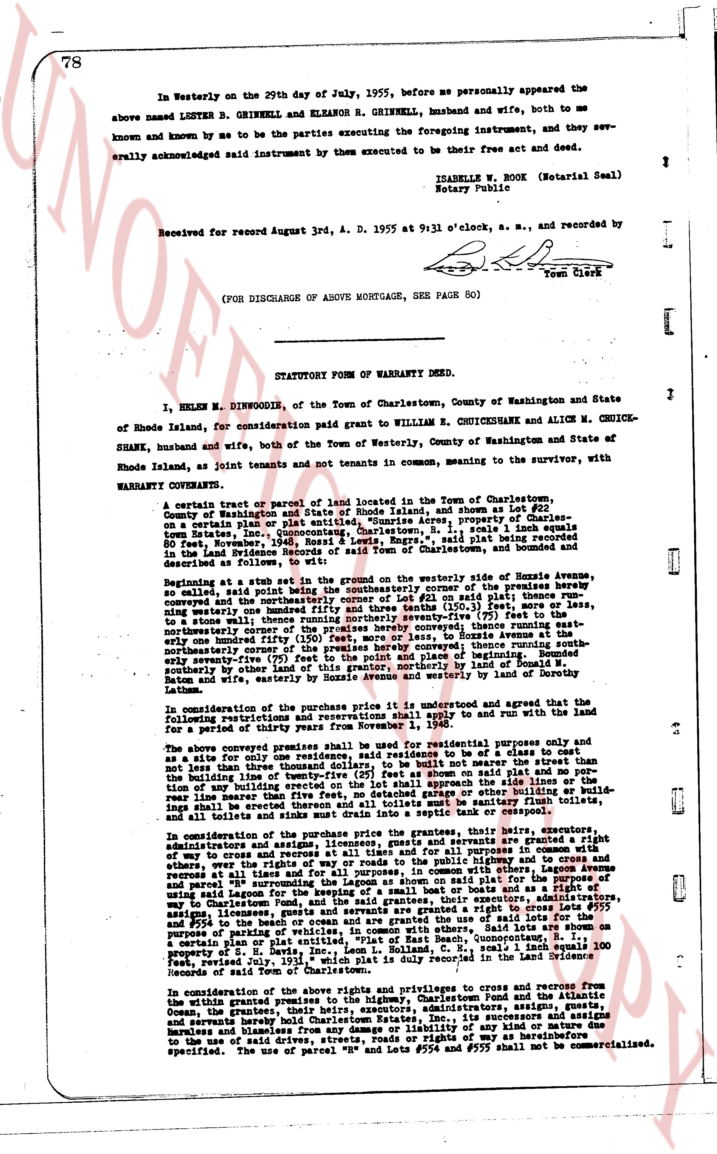
In Westerly on the 29th day of July, 1955, before me personally appeared the
above named LESTER B. GRINKELL AND ELEANOR R. GRINKELL, husband and wife, both to me
known and known by me to be the parties executing the foregoing instrument, and they sev-
erally acknowledged said instrument by them executed to be their free act and deed.
ISABELLE W. BOOK (Notarial Seal)
Notary Public
Received for record August 3rd, A. D. 1955 at 9:31 o'clock, a. m., and recorded by
[Signature]
Town Clerk
(FOR DISCHARGE OF ABOVE MORTGAGE, SEE PAGE 80)
----
STATUTORY FORM OF WARRANTY DEED.
I, HELEN M. DINWOODIE, of the Town of Charlestown, County of Washington and State
of Rhode Island, for consideration paid grant to WILLIAM E. CRUICKSHANK AND ALICE M. CRUICK-
SHANK, husband and wife, both of the Town of Westerly, County of Washington and State of
Rhode Island, as joint tenants and not tenants in common, meaning to the survivor, with
WARRANTY CONVEYANCE.
A certain tract or parcel of land located in the Town of Charlestown, County
of Washington and State of Rhode Island, as shown on Lot #21
on a certain plan or plat entitled, "Sunrise Acres, property of Charles
Bliven", dated November 14, 1936, scale 1 inch equals 100
feet however, [?] "Rossil & Lewis, Engrs.", said plat being recorded in
the Land Evidence Records of said Town of Charlestown, and bounded
and described as follows:
Beginning at a stub set in the ground on the northeasterly side of Bonnie Avenue,
converging said point being the southeasterly corner of the premises hereby
conveyed, and the northeasterly corner of Lot #21 on said plat; thence runn-
ing northeasterly one hundred thirty and free three tenths (130.30) feet to a post;
thence northerly one hundred seventy-five (175) feet to the
northeasterly corner of the premises hereby conveyed; thence running south-
easterly one hundred forty-five (145) feet, to Bonnie Avenue at the
northeasterly corner of the premises hereby conveyed; thence running south-
easterly one hundred forty-five (145) feet, to a stub set in the ground
southerly border by other land of this grantor, northerly by land of Donald M.
Baton and wife, easterly by Bonnie Avenue, westerly by land of Dorothy
Latham.
In consideration of the purchase price it is understood and agreed that the use
of the following restrictions and reservations shall apply to and run with the land
for a period of thirty years from November 1, 1948.
The above conveyed premises shall be used for residential purposes only and
as a site for only one residence, said residence to be set back a distance not
less than three hundred feet from Bonnie Avenue, and not nearer the street than
the building line of twenty-five (25) feet as shown on said plat and no por-
tion of any building shall extend beyond said building line, no fence, detached garage or other building or buil-
ding shall be erected within twenty-five (25) feet of any property line, and
all toilets and sinks must drain into a septic tank or cesspool.
In consideration of the purchase price the grantees, their heirs, executors,
administrators and assigns are and shall be forever granted a right
of way to cross and re-cross at all times and at all purposes in common with
others, over the right of way shown on said plat and for all purposes, in common with others, Lagoon Avenue
and reported as Lot "R" and for all purposes, in common with others, Lagoon Avenue
and parcel "R" surrounding the Lagoon as shown on said plat, for the purpose of
using said Lagoon for fishing, swimming, as a sail boat or boats and a right of res-
age, access, ingress and egress to and from said Lagoon, from Bonnie Avenue,
way to Charlestown Fond, and the said grantees, and their heirs, executors,
administrators and assigns are and shall be forever granted a right to cross Lots #554
and #555 to the beach of ocean and are granted the use of the beaches on said
lots for all purposes, in common with others. Said lots are shown on
a certain plan or plat entitled, "Part of East Beach, Quonochonticut, No. 1,"
prepared by "Rossil & Lewis, Engrs." on Dec. 1, 1931, scale 1 inch equals 100
feet, revised July 19, 1931, which plat is duly recorded in the Land Evidence
Records of said town of Charlestown.
In consideration of the above rights and privileges to cross and re-cross from the
within granted premises to the highway, Charlestown Pond and the Atlantic
Ocean, the grantees, their heirs, executors, administrators and assigns covenant,
and severally hereby hold Charlestown Estates, Inc., its successors and assigns
harmless and blameless from any damage or liability of any kind what so ever due
to the use of said rights and privileges and the right of way hereinbefore
specified. The use of parcel "R" and Lots #554 and #555 shall not be commercialized.
The page as recorded