The instrument's own words
page 1 · read by Gemma vision
28
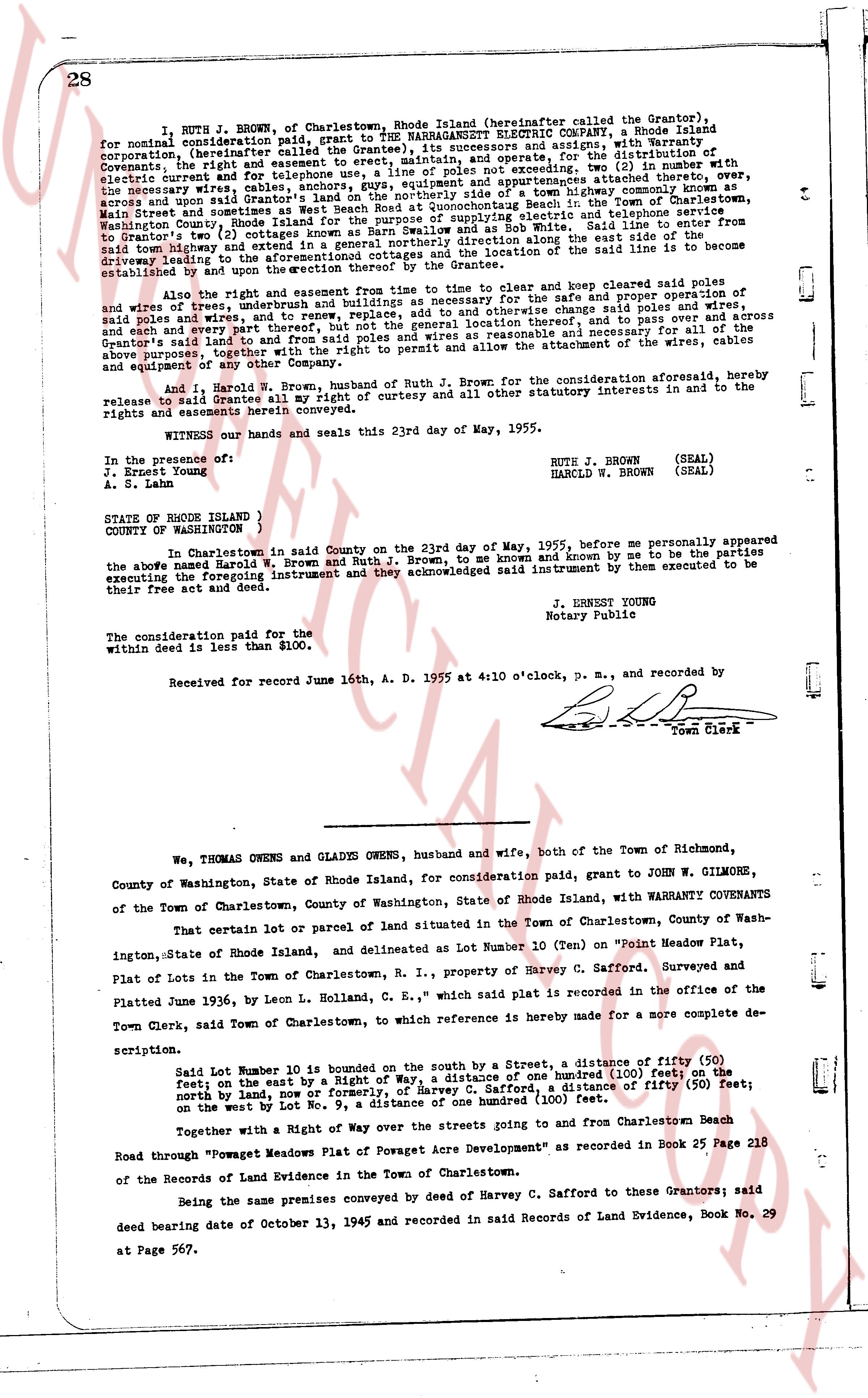
RUTH J. BROWN of Charlestown, Rhode Island (hereinafter called the Grantor), for nominal consideration paid, grant to SUN WARRAGAMUTT ELECTRIC COMPANY, a Rhode Island corporation (hereinafter called the Grantee), its successors and assigns, with Warranty Covenants: the right and easement to erect, maintain, operate and replace, for the distribution of electricity, poles not exceeding two, (2) in number with attachments, the necessary wires, cables, anchors, guys, equipment and appurtenances across, over, through and under said land along the edge of the town highway commonly known as Main Street and sometimes as West Beach Road at Quonochontaug Beach to Town and telephone service said town highway and extending from the edge of said highway along the east side of the road to Brewster's two (2) cottages known as Barn Swallow and as Rob White. Said line to enter from said town highway and extend in a straight line to the east along the east side of the road to Brewster's two (2) cottages known as Barn Swallow and as Rob White. The aforementioned cottages and of the location of the said line is to be established and upon the erection thereof by the Grantee.
Also the right and easement to enter upon said land to clear and keep cleared said poles and wires and to erect, maintain and operate such buildings as necessary for the safe and proper operation of said poles and wires, and to renew, to replace, to add to and enlarge, to change said poles and wires, to move said poles and wires to another suitable location, to pass and to move across and through said land and to pass from and to said poles and wires as reasonable and necessary and increase the Grantor's said land to and from said poles and wires and the right to permit and allow the attachment of the wires, cables and equipment of any other Company.
And I, Harold R. Brown, husband of Ruth J. Brown, for the consideration aforesaid, hereby release and relinquish all my right of curtesy and all other statutory interests in and to the rights and easements herein conveyed.
WITNESS our hands and seals this 23rd day of May, 1955.
In the presence of:
J. Ernest Young (SEAL)
A. S. Lane
RUTE J. BROWN
HARCLD W. BROWN (SEAL)
STATE OF RHODE ISLAND )
COUNTY OF WASHINGTON )
In Charlestown in said County on the 23rd day of May, 1955, before me personally appeared the above named Harold R. Brown and Ruth J. Brown, to me known and by me to be the parties executing the foregoing instrument and they acknowledged said instrument by them executed to be their free act and deed.
J. ERNEST YOUNG
Notary Public
The consideration paid for the within deed is less than $100.
Received for record June 16th A. D. 1955 at 4:10 o'clock, P. M., and recorded by
[Signature]
Town Clerk
----
We, THOMAS OWENS and GLADYS OWENS, husband and wife, both of the Town of Richmond, County of Washington, State of Rhode Island, for consideration paid, grant to JOHN W. GILMORE, of the Town of Charlestown, County of Washington, State of Rhode Island, with WARRANTY COVENANTS
That certain lot or parcel of land situated in the Town of Charlestown, County of Washington, State of Rhode Island, and delineated as Lot Number 10 (Ten) on "Point Meadow Plat, ington, State of Rhode Island, in property of Harvey C. Safford. Surveyed and recorded Plat of Lots in the Town of Charlestown, R. I., which said plat is recorded in the office of the Town Clerk, said town of Charlestown, to which reference is hereby made for a more complete description.
Said Lot Number 10 is bounded on the south by a Street, a distance of fifty (50) feet; on the east by a Right of Way, a distance of one hundred (100) feet; on the north by the land of [?], a distance of fifty (50) feet; on the north by land, Powegan Meadow Plat, a distance of fifty (50) feet; on the west by Lot No. 9, a distance of one hundred (100) feet.
Together with a Right of Way over the Streets going to and from Charlestown Beach Road through "Powaget Meadows Plat of Powaget Acre Development" as recorded in Book 25 Page 218 of the Records of Land Evidence in the Town of Charlestown.
Being the same premises conveyed by deed of Harvey C. Safford to these Grantors; said deed bearing date of October 13, 1945 and recorded in said Records of Land Evidence, Book No. 29 at Page 567.
page 2 · read by Gemma vision
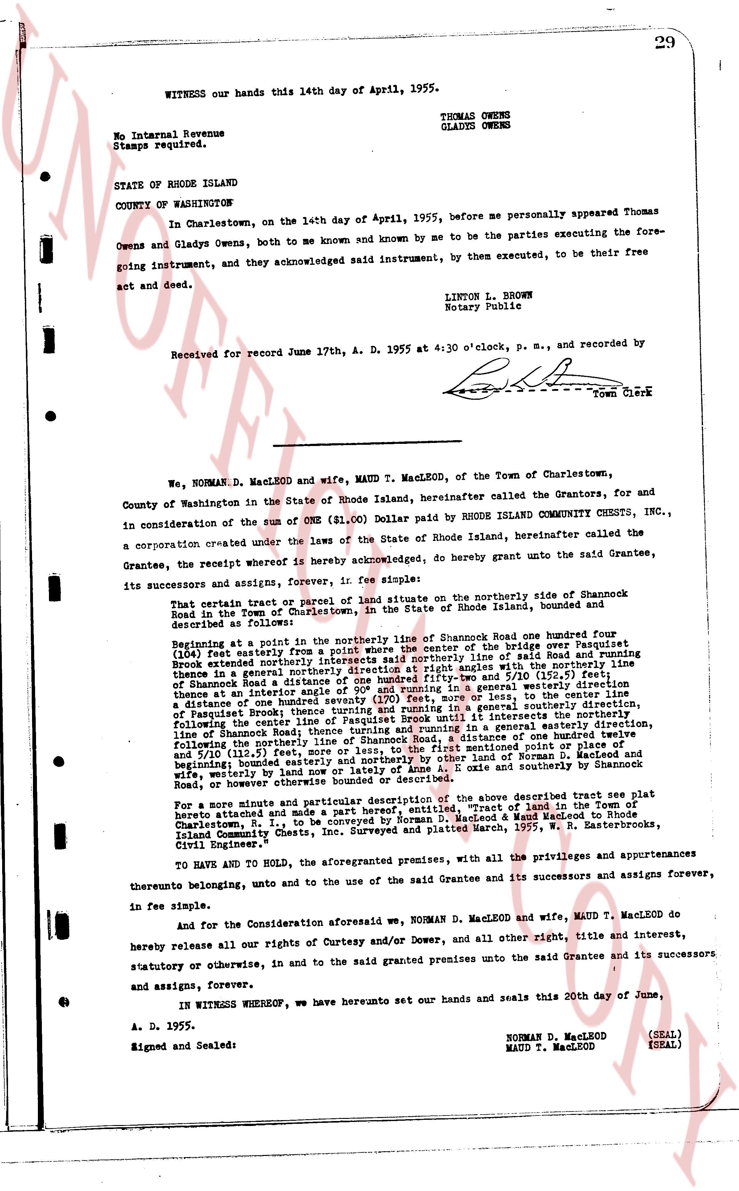
WITNESS our hands this 14th day of April, 1955.
THOMAS OWENS
GLADYS OWENS
No Internal Revenue
Stamps required.
STATE OF RHODE ISLAND
COUNTY OF WASHINGTON
In Charlestown, on the 14th day of April, 1955, before me personally appeared Thomas Owens and Gladys Owens, both to me known and known by me to be the parties executing the foregoing instrument, and they acknowledged said instrument, by them executed, to be their free act and deed.
LINTON L. BROWN
Notary Public
Received for record June 17th, A. D. 1955 at 4:30 o'clock, p. m., and recorded by [?] Town Clerk
----
We, NORMAN D. MacLEOD and wife, MAUD T. MacLEOD, of the Town of Charlestown, County of Washington in the State of Rhode Island, hereinafter called the Grantors, for and in consideration of the sum of ONE ($1.00) Dollar paid by RHODE ISLAND COMMUNITY CHESTS, INC., a corporation created under the laws of the State of Rhode Island, hereinafter called the Grantee, the receipt whereof is hereby acknowledged, do hereby grant unto the said Grantee, its successors and assigns, forever, in fee simple:
That certain tract or parcel of land situate on the northerly side of Shamrock Road in the Town of Charlestown, in the State of Rhode Island, bounded and described as follows:
Beginning at a point in the northerly line of Shamrock Road one hundred four (104) feet easterly from a point where the center of the bridge over Pasquetrit Brook extended northerly intersects the center line saidly line of said Road and running thence in a general northerly direction at right angles with the northerly line of Shamrock Road a distance of one hundred twenty (120) feet and 79/100ths of a foot thence at an interior angle of 90° and running in a general westerly direction thence at an interior angle of 90° and running in a general southerly direction a distance of one hundred twenty (120) feet or to the line of said Road and running thence at an interior angle of 90° thence turning and running in a general southeasterly direction, following the center line of Shamrock Road to a point it intersects the northerly line of Pasquetrit Brook Road running thence in a general easterly direction, following the northerly line of Shamrock Road to the point of commencement of said tract, following the northerly line of Shamrock Road from the first mentioned point or place of setting and 51/100ths feet, running in a general easterly direction to a point of beginning; bounded easterly and northerly by other lands of Norman D. MacLeod, wife, westerly by lands of [?] and southerly and southeasterly by Shamrock Road, or however otherwise bounded or described.
For a more minute and particular description of the above described tract see plat printed at scale and made a part hereof entitled "Tract of land in the Town of Charlestown, R. I., to be conveyed by Norman D. MacLeod & Maud MacLeod to Rhode Island Community Chests, Inc. Surveyed and platted March, 1955, W. S. Butterworth, Civil Engineer."
TO HAVE AND TO HOLD, the aforementioned premises, with all the privileges and appurtenances thereunto belonging, and unto and to the use of the said Grantee and its successors and assigns forever, in fee simple.
And for the Consideration aforesaid we, NORMAN D. MacLEOD and wife, MAUD T. MacLEOD do hereby release all our rights of Curtesy and/or Dower, and all other right, title and interest, statutory or otherwise, in and to the said granted premises unto the said Grantee and its successors and assigns, forever.
IN WITNESS WHEREOF, we have hereunto set our hands and seals this 20th day of June, A. D. 1955.
Signed and Sealed:
NORMAN D. MacLEOD (SEAL)
MAUD T. MacLEOD (SEAL)
The page as recorded