The instrument's own words
page 1 · read by Gemma vision
295
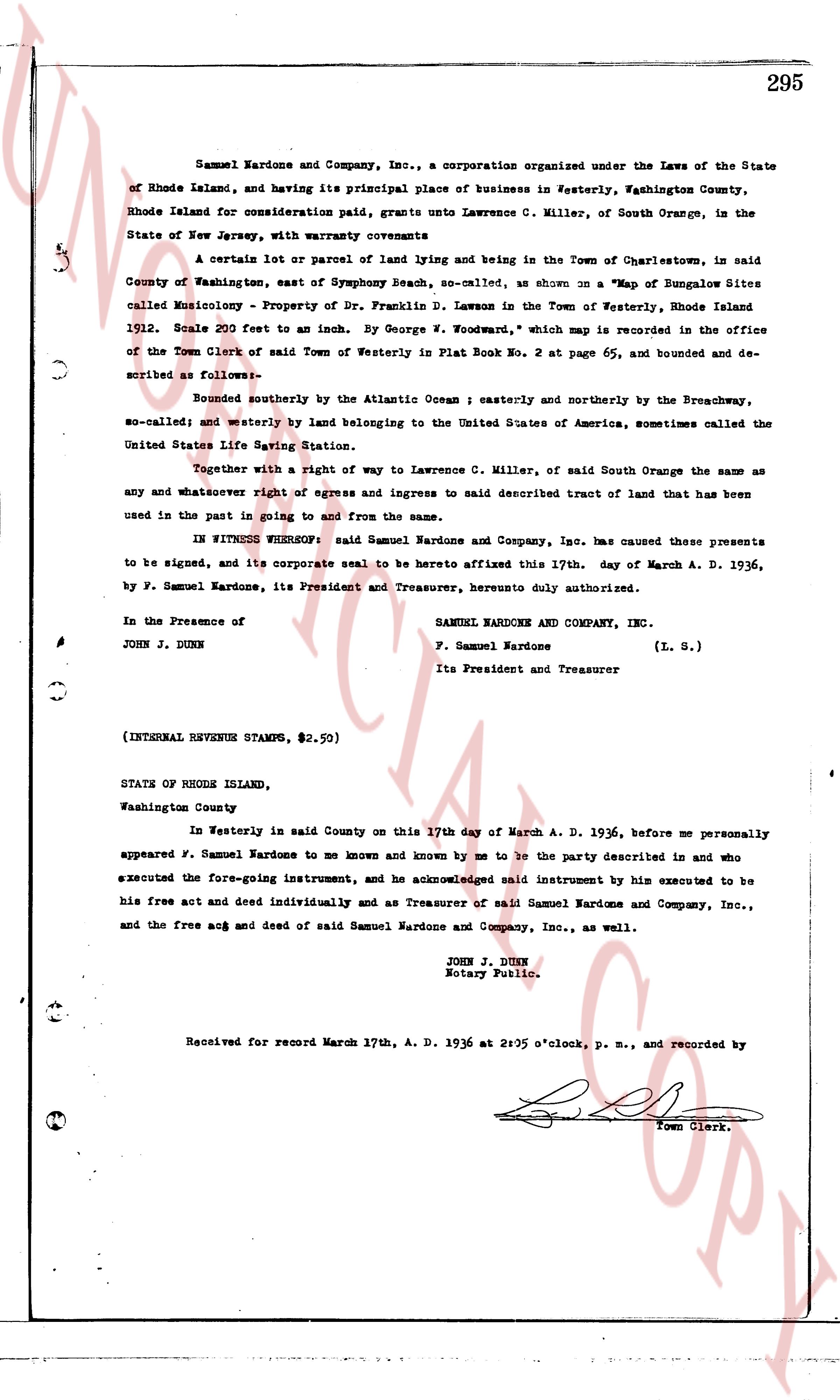
Samuel Nardone and Company, Inc., a corporation organized under the Laws of the State of Rhode Island, and having its principal place of business in Westerly, Washington County, Rhode Island for consideration paid, grants unto Lawrence C. Miller, of South Orange, in the State of New Jersey, with warranty covenants
A certain lot or parcel of sand lying and being in the Town of Charlestown, in said County of Washington, east of Symphony Beach, so-called, as shown on a "Map of Bungalow Sites called Musicology - Property of Dr. Francis D. Lawton in the Town of Westerly, Rhode Island 1912. Scale 200 feet to an inch. By George N. Woodman," which map is recorded in the office of the Town Clerk of said Town of Westerly in Plat Book No. 2 at page 65, and bounded and described as follows:-
bounded southerly by the Atlantic Ocean ; easterly and northerly by the Breachway, so-called; and westerly by land belonging to the United States of America, sometimes called the United States Life Saving Station.
Together with a right of way to Lawrence C. Miller, of said South Orange the same as any and whatever right of egress and ingress to said described tract of land that has been used in the past to going on and from the same.
IN WITNESS WHEREOF: said Samuel Nardone and Company, Inc. has caused these presents to be signed, and its corporate seal to be hereto affixed this 17th day of March A. D. 1936, by F. Samuel Nardone, its President and Treasurer, hereunto duly authorized.
In the Presence of
JOHN J. DUNN
SAMUEL NARDONE AND COMPANY, INC.
F. Samuel Nardone (L. S.)
Its President and Treasurer
(INTERNAL REVENUE STAMPS, $2.50)
STATE OF RHODE ISLAND,
Washington County
In Westerly east in said County on this 17th day of March A. D. 1936, before me personally appeared F. Samuel Nardone to me known and known by me to be the party described in and who executed the fore-going instrument, and he acknowledged said instrument by him executed to be his free act and deed individually and as Treasurer of said Samuel Nardone and Company, Inc., and the free act and deed of said Samuel Nardone and Company, Inc., as well.
JOHN J. DUNN
Notary Public.
Received for record March 17th, A. D. 1936 at 2:05 o'clock, p. m., and recorded by
[Signature]
Town Clerk.
The page as recorded