The instrument's own words
page 1 · read by Gemma vision
21
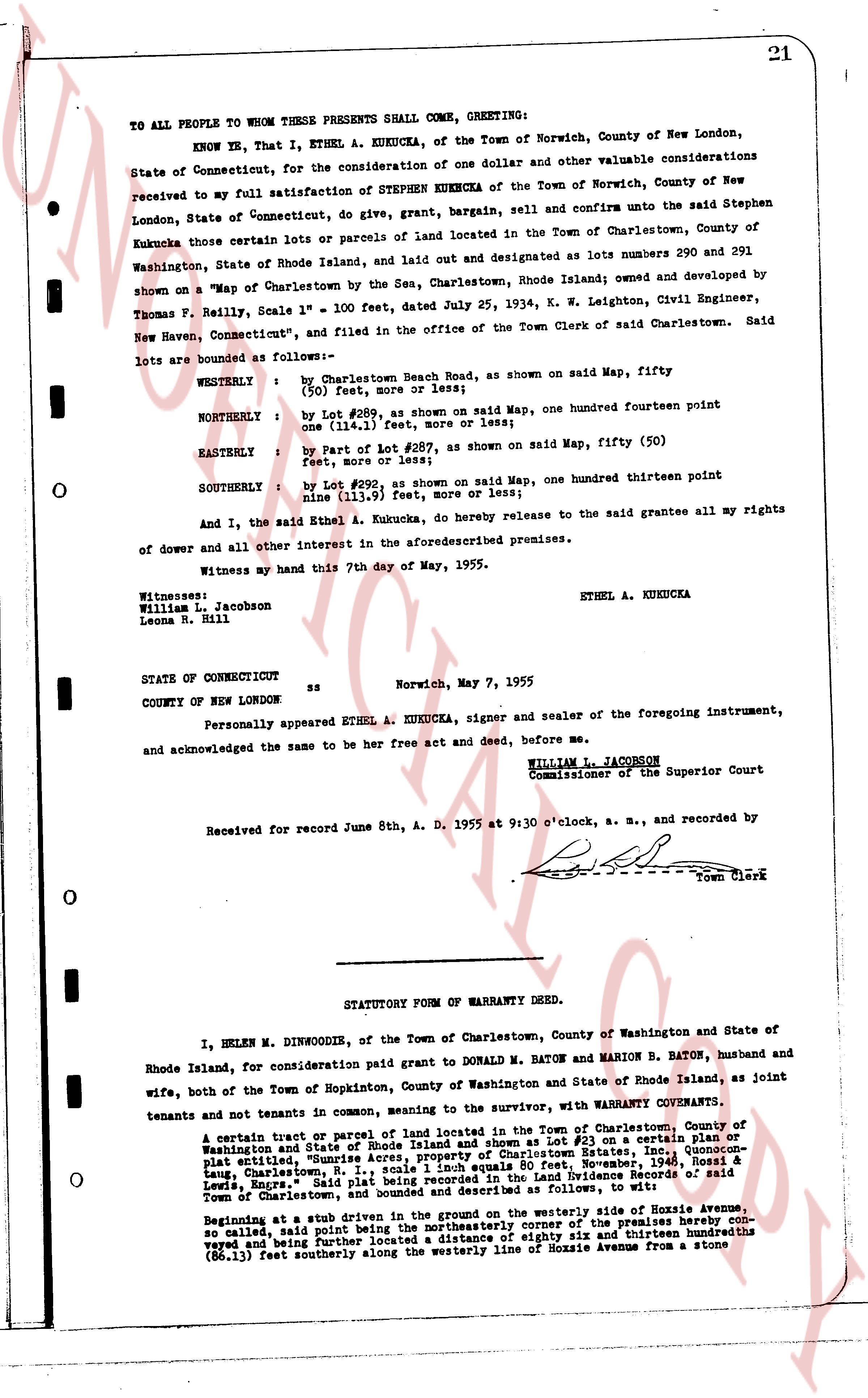
TO ALL PEOPLE WHOM THESE PRESENTS SHALL COME, GREETING:
KNOW YE, That I, ETHEL A. KUKUCKA, of the Town of Norwich, County of New London, State of Connecticut, for the consideration of one dollar and other valuable considerations received to my full satisfaction of STEPHEN KUKUCKA of the Town of Norwich, County of New London, State of Connecticut, do give, grant, bargain, sell and confirm unto the said Stephen Kukucka those certain lots or parcels of land located in the Town of Charlestown, County of Washington, State of Rhode Island, and laid out and designated as lots numbers 290 and 291 shown on a "Map of Charlestown by the Sea, Charlestown, Rhode Island; owned and developed by Thomas F. Reilly, Scale 1" = 100 feet, dated July 25, 1934, K. W. Leighton, Civil Engineer, New Haven, Connecticut," and filed in the office of the Town Clerk of said Charlestown. Said lots are bounded as follows:-
WESTERLY : by Charlestown Beach Road, as shown on said Map, fifty (50) feet, more or less;
NORTHERLY : by Lot #289, as shown on said Map, one hundred fourteen point one (114.1) feet, more or less;
EASTERLY : by part of Lot #287, as shown on said Map, fifty (50) feet more or less;
SOUTHERLY : by Lot #292, as shown on said Map, one hundred thirteen point nine (113.9) feet, more or less;
And I, the said Ethel A. Kukucka, do hereby release to the said grantee all my rights of dower and all other interest in the aforesaid premises.
Witness my hand this 7th day of May, 1955.
ETHEL A. KUKUCKA
Witnesses:
William L. Jacobson
Leona R. Hill
STATE OF CONNECTICUT ss Norwich, May 7, 1955
COUNTY OF NEW LONDON
Personally appeared ETHEL A. KUKUCKA, signer and sealer of the foregoing instrument, and acknowledged the same to be her free act and deed, before me,
WILLIAM L. JACOBSON
Commissioner of the Superior Court
Received for record June 8th, A. D. 1955 at 9:30 o'clock, a. m., and recorded by [?] Town Clerk
----
STATUTORY FORM OF WARRANTY DEED.
I, HELEN M. DINWOODIE, of the Town of Charlestown, County of Washington and State of Rhode Island, for consideration paid grant to DONALD M. BATON and MARION B. BATON, husband and wife, both of the Town of Hopkinton, County of Washington and State of Rhode Island, as joint tenants and not tenants in common, meaning to the survivor, with WARRANTY COVENANTS.
A certain tract or parcel of land located in the Town of Charlestown, County of Washington and State of Rhode Island and shown as Lot #23 on a certain plat or map entitled, "Sunnyrise Acres, Plat No. 1, Charlestown East, Inc., Charlestown, R. I.," said Lot #23 being recorded as Volume 1, book 80, Page 11, recorded Nov. 1946, Rossell H. Lewis, Engrs.," said Lot #23 being bounded and described as follows, to wit:
Beginning at a stub driven in the ground on the westerly side of Hopey Avenue, so called, said point being the northeasterly corner of the premises hereby conveyed and being further described as a distance of eighty six and thirteen hundredths (86.13) feet southeasterly along the westerly line of Mozzie Avenue from a stone
The page as recorded