The instrument's own words
page 1
80
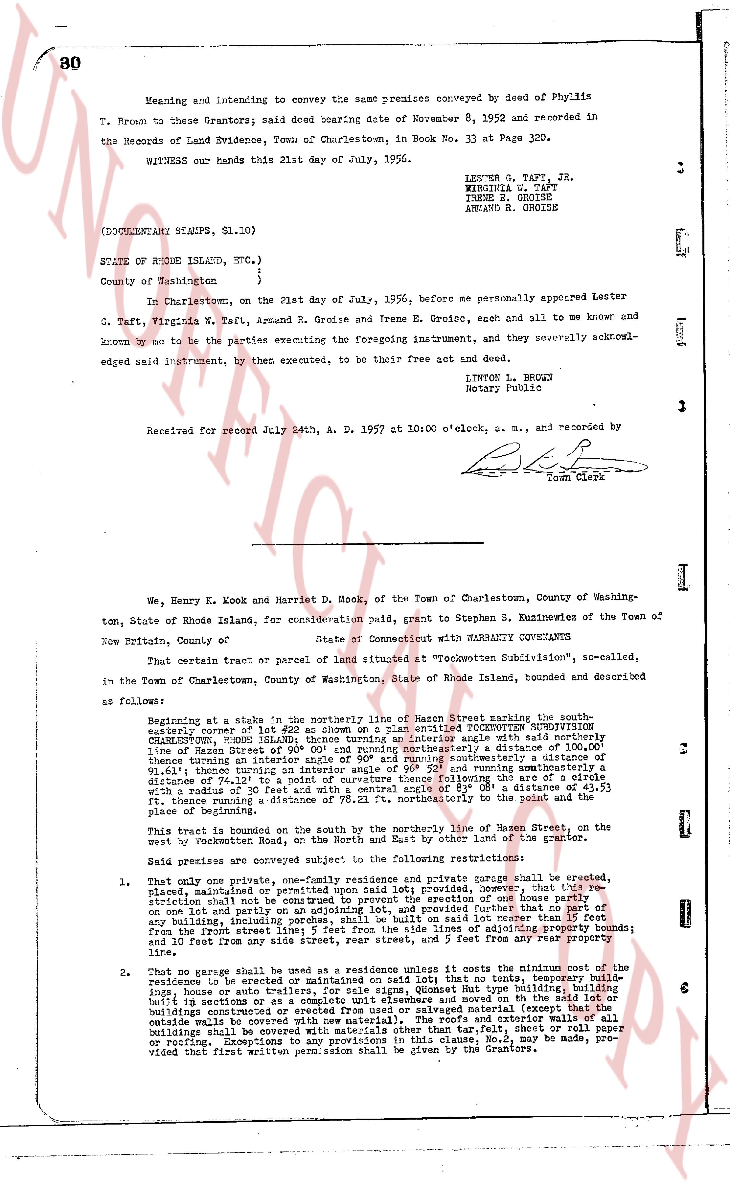
Meaning and intending to convey the same premises conveyed by deed of Phyllis
T. Brown to these Grantors; said deed bearing date of November 8, 1952 and recorded in
the Records of Land Evidence, Town of Charlestown, in Book No. 33 at Page 320.
WITNESS our hands this 21st day of July, 1956.
LESTER G. TAFT, JR.
VIRGINIA N. TAFT
IRENE E. GROISE
ARMAND R. GROISE
(DOCUMENTARY STAMPS, $1.10)
STATE OF RHODE ISLAND, ETC.)
County of Washington )
In Charlestown, on the 21st day of July, 1956, before me personally appeared Lester
G. Taft, Virginia N. Taft, Armand R. Groise and Irene E. Groise, each and all to me known and
known by me to be the parties executing the foregoing instrument, and they severally acknowl-
edged said instrument, by then executed, to be their free act and deed.
LINTON L. BROWN
Notary Public
Received for record July 24th, A. D. 1957 at 10:00 o'clock, a. m., and recorded by
Town Clerk
We, Henry K. Mook and Harriet D. Mook, of the Town of Charlestown, County of Washing-
ton, State of Rhode Island, for consideration paid, grant to Stephen S. Kuzinewicz of the Town of
New Britain, County of New Haven,
State of Connecticut with WARRANTY COVENANTS
That certain tract or parcel of land situated at "Tockwotten Subdivision", so-called,
in the Town of Charlestown, County of Washington, State of Rhode Island, bounded and described
as follows:
Beginning at stake in the northerly line of Mazen Street marking the south-
easterly corner of lot #22 as shown on a platted IDENTIFIED TOCKWOTTEN SUBDIVISION
CHARLESTOWN, RHODE ISLAND; thence turning an interior angle west said northerly line
of Mazen Street of 90 degrees and running thence in an easterly direction a distance of 100.00
feet; thence turning an interior angle of 90 degrees and running southeasterly a distance of
81.41 feet; thence turning an interior angle of 90 degrees and running thence southeasterly a
distance of 74.13 feet to a point of curvature thence following the arc of a circle with
a radius of 30 feet to a point of tangency; thence turning 89 deg. 0' 4" clockwise 153.53
ft., thence running a distance of 78.21 ft. northeasterly to the point and the
place of beginning.
This tract is bounded on the south by the northerly line of Mazen Street, on the east
west by Rocklanden Road, on the North and East by other land of the grantor.
Said premises are conveyed subject to the following restrictions:
1. That only one private, one-family residence and private garage shall be erected,
placed, maintained or permitted upon said lot; provided, however, that this re-
striction shall not be applicable to the erection of one barn or out building
on one lot and partly on an adjoining lot, and provided further that no part of any
building, including any porch, steps, or sliding door ladder, shall extend more
lot from the front street line; 5 feet from the side lines of adjoining property bounds;
and 10 feet from any side street, rear street, and 5 feet from any rear property
line.
2. That no garage shall be used as a residence or store; that no tent, temporary build-
ing, house or auto repair shop, sign, Quonset Hut type building, building
built in sections or as a complete unit elsewhere and moved on to the lot,
buildings constructed of corrugated iron or similar material (except that the
outside walls be covered with new material), the roofs and exterior walls of all
buildings shall be covered with asphalt shingles, the slate, sheet metal, tar paper
or roofing. Exceptions to any provisions in this clause, No.2, may be made, pro-
vided that first written permission shall be given by the Grantors.
page 2
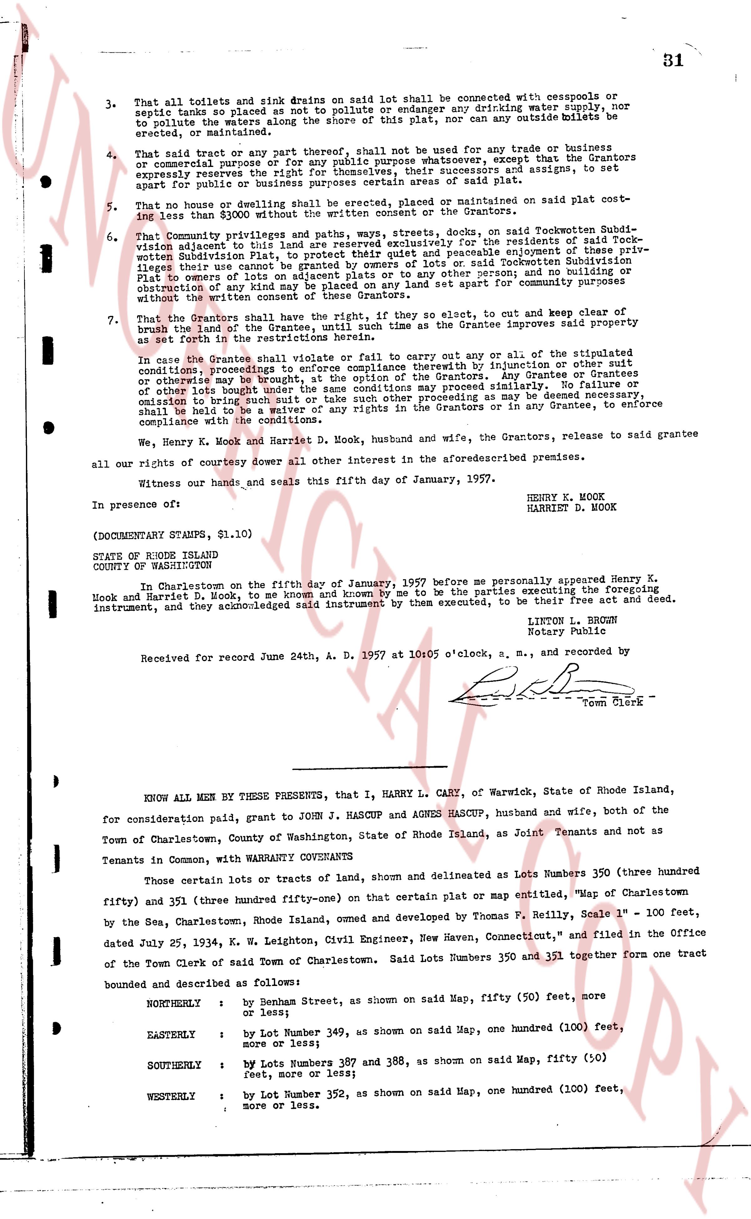
3. That all toilets and sink drains on said lot shall be connected with cesspools or
septic tanks so placed as not to pollute or endanger any drinking water supply, nor
to pollute the waters along the shore of this plat, nor can any outside toilets be
erected or maintained.
4. That said tract or any part thereof, shall not be used for any trade or business
or commercial purpose or for any public purpose whatsoever, except that the Grantors
expressly reserve the right to lease or rent, or cause to be leased or assigned, to set
apart for public or business purposes certain areas of said plat.
5. That no house or dwelling shall be erected, placed or maintained on said plat cost-
ing less than $3000 without the written consent of the Grantors.
6. That Community privileges and paths, ways, streets, docks, on said Tockemotion Subdi-
vision adjacent to this lot are reserved exclusively for the residents of said Tock
wooden Subdivision plat, to provide such residents with reasonable enjoyment these priv-
ileges that one customary enjoyed by owners of lots or said Tockemotion Subdivision
Plat to owners of lots on adjacent plats or to any other person; and no building or
obstruction of any structure shall be erected on land set apart for public purposes,
without the written consent of these Grantors.
7. That the Grantors shall have the right, if they so elect, to cut and keep clear of
brush two feet of the land of the Grantee, if the Grantee improves said property
as set forth in the restrictions herein.
In case the Grantee violates one or more of the stipulated
conditions, proceedings to compel compliance therewith by injunction or other suit
or otherwise may be brought, at the option of the Grantors. Any Grantee or Grantees
of other lots brought under the same conditions may proceed similarly. In addition,
or failing to bring any such action, or other proceeding as may be deemed necessary,
shall be held to be a waiver of any rights in the Grantors or in any Grantees, to enforce
compliance with the conditions herein.
We, Henry K. Mook and Harriet D. Mook, husband and wife, the Grantors, release to said Grantee
all our rights of courtesy dower all other interest in the aforementioned premises.
Witness our hands and seals this fifth day of January, 1957.
In presence of:
HENRY K. MOOK
HARRIET D. MOOK
(DOCUMENTARY STAMPS, $1.10)
STATE OF RHODE ISLAND
COUNTY OF WASHINGTON
In Charlestown on the fifth day of January, 1957 before me personally appeared Henry K.
Mook and Harriet D. Mook, to me same and known by me to be the parties executing the foregoing
instrument, and they acknowledged said instrument by them executed, to be their act and deed.
LITON R. HUMPHREY
Notary Public
Received for record June 24th, A. D. 1957 at 10:05 o'clock, a. m., and recorded by
Town Clerk
KNOW ALL MEN BY THESE PRESENTS, that I, HARRY L. CARY, of Warwick, State of Rhode Island,
for consideration paid, grant to JOHN J. HASCUP and AGNES HASCUP, husband and wife, both of the
Town of Charlestown, County of Washington, State of Rhode Island, as Joint Tenants and not as
Tenants in Common, with WARRANTY COVENANTS
Those certain lots or tracts of land, shown and delineated as Lots Numbers 350 (three hundred
fifty) and 351 (three hundred fifty-one) on that certain plat or map entitled, "Map of Charlestown
by the Sea, Charlestown, Rhode Island, owned and developed by Thomas F. Reilly, Scale 1" = 100 feet,
dated July 25, 1934, K. W. Leighton, Civil Engineer, New Haven, Connecticut," and filed in the Office
of the Town Clerk of said Town of Charlestown. Said Lots Numbers 350 and 351 together form one tract
bounded and described as follows:
NORTHERLY : by Benham Street, as shown on said Map, fifty (50) feet, more
or less;
EASTERLY : by Lot Number 349, as shown on said Map, one hundred (100) feet,
more or less;
SOUTHERLY : by Lots Numbers 387 and 388, as shown on said Map, fifty (50)
feet, more or less;
WESTERLY : by Lot Number 352, as shown on said Map, one hundred (100) feet,
more or less.
The page as recorded