The instrument's own words
page 1 · read by Gemma vision
483
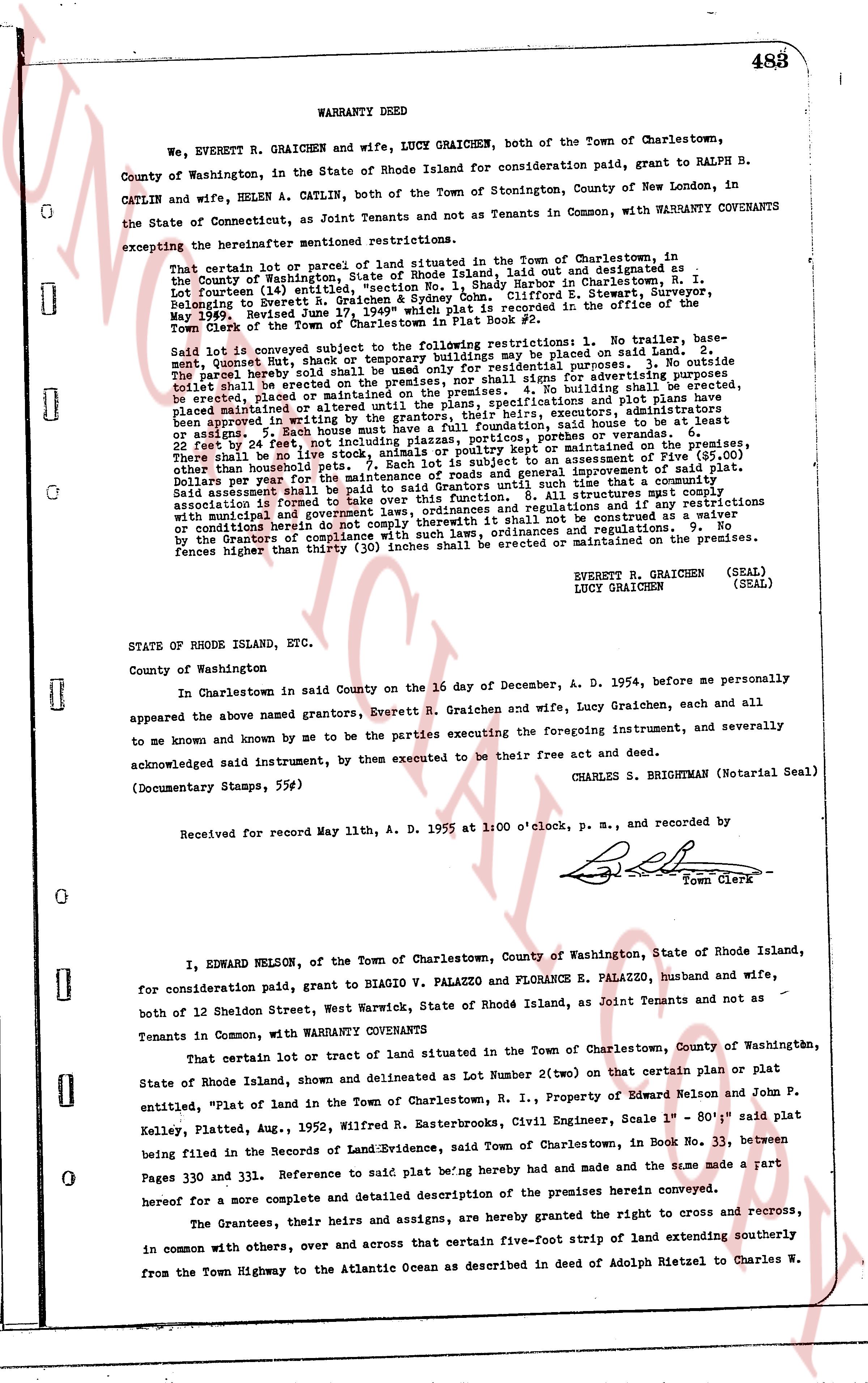
WARRANTY DEED
We, EVERETT R. GRAICHEN and wife, LUCY GRAICHEN, both of the Town of Charlestown, County of Washington, in the State of Rhode Island for consideration paid, grant to RALPH B. CATLIN and wife, HELEN A. CATLIN, both of the Town of Stonington, County of New London, in the State of Connecticut, as Joint Tenants and not as Tenants in Common, with WARRANTY COVENANTS excepting the variance of aforementioned mentioned restrictions.
That certain lot or parcel of land situated in the Town of Charlestown, in the County of Washington, State of Rhode Island, laid out and designated as Lot Fourteen (14) entitled "Plat of land in the Town of Charlestown, R. I." by Edward Nelson R. Graichen & Sydney Cohn, Clifford E. Stewart, Surveyor, [?] May 1936" Revised June 17, 1949" whose map is recorded in the office of the Town Clerk of the Town of Charlestown in Plat Book No. 2.
Said lot is conveyed subject to the following restrictions: 1. No trailer, bas-ment, Quonset Hut, shack or temporary buildings may be placed on said Land. 2. No parte barely out of the ground may be used for residential purposes. 3. No outside building shall be erected or placed on the premises, nor shall fences for advertising purposes be erected or placed on the premises. 4. No building shall be erected, be erected or altered or until the plans, specifications and plot plans have been approved in writing by the Association of Charlestown, Inc. Furthermore, additions, additions or assigns to such building must have a full foundation, said house to be at least 22 feet by 24 feet, not including the porch or veranda of the house. 5. No livestock, dogs or other household pets shall be kept or maintained on the premises. There shall be no pigs, cows, animals or poultry kept or maintained on the premises. Other than household pets. 7. Each lot owner shall pay a pro rata share of the costs of roads and general improvement of said plat. Said assessment shall be paid to said Grantors until such time that a formal Association is formed for the purpose of managing said plat. 8. All structures must comply with municipal and government laws, ordinances and regulations and in no case shall this be construed as a waiver or condonation of compliance with such laws, ordinances and regulations.
By the Grantors of compliance with such laws, ordinances and regulations on the premises. Fences higher than thirty (30) inches shall be erected or maintained on the premises.
EVERETT R. GRAICHEN (SEAL)
LUCY GRAICHEN (SEAL)
STATE OF RHODE ISLAND, ETC.
County of Washington
In Charlestown in said County on the 16 day of December, A. D. 1954, before me personally appeared the above named grants, Everett R. Graichen and wife, Lucy Graichen, each and all to me known and known by me to be the parties executing the foregoing instrument, and severally acknowledged said instrument, by them executed to be their free act and deed.
CHARLES S. BRIGHTMAN (Notarial Seal)
(Documentary Stamps, 55¢)
Received for Record May 11, A. D. 1955 at 1:00 o'clock, P. M., and recorded by [Signature] Town Clerk
----
I, EDWARD NELSON, of the Town of Charlestown, County of Washington, State of Rhode Island, for consideration paid, grant to BIAGIO V. PALAZZO and FLORANCE E. PALAZZO, husband and wife, both of 12 Sheldon Street, West Warwick, State of Rhode Island, as Joint Tenants and not as Tenants in Common, with WARRANTY COVENANTS
That certain lot or tract of land situated in the Town of Charlestown, County of Washington, State of Rhode Island shown and delineated as Lot Number Two (2) on that certain plan or plat of State of Rhode Island shown, and delineated as Lot Number Two (2) on that certain plan or plat of State of Rhode Island shown, and delineated as Lot Number Two (2) on that certain plan or plat of State of Rhode Island shown, and delineated as Lot Number Two (2) on that certain plan or plat of State of Rhode Island shown, and delineated as Lot Number Two (2) on that certain plan or plat of State of Rhode Island shown, and delineated as Lot Number Two (2) on that certain plan or plat of State of Rhode Island shown, and delineated as Lot Number Two (2) on that certain plan or plat of State of Rhode Island shown, and delineated as Lot Number Two (2) on that certain plan or plat of State of Rhode Island shown, and delineated as Lot Number Two (2) on that certain plan or plat of State of Rhode Island shown, and delineated as Lot Number Two (2) on that certain plan or plat of State of Rhode Island shown, and delineated as Lot Number Two (2) on that certain plan or plat of State of Rhode Island shown, and delineated as Lot Number Two (2) on that certain plan or plat of State of Rhode Island shown, and delineated as Lot Number Two (2) on that certain plan or plat of State of Rhode Island shown, and delineated as Lot Number Two (2) on that certain plan or plat of State of Rhode Island shown, and delineated as Lot Number Two (2) on that certain plan or plat of State of Rhode Island shown, and delineated as Lot Number Two (2) on that certain plan or plat of State of Rhode Island shown, and delineated as Lot Number Two (2) on that certain plan or plat of State of Rhode Island shown, and delineated as Lot Number Two (2) on that certain plan or plat of State of Rhode Island shown, and delineated as Lot Number Two (2) on that certain plan or plat of State of Rhode Island shown, and delineated as Lot Number Two (2) on that certain plan or plat of State of Rhode Island shown, and delineated as Lot Number Two (2) on that certain plan or plat of State of Rhode Island shown, and delineated as Lot Number Two (2) on that certain plan or plat of State of Rhode Island shown, and delineated as Lot Number Two (2) on that certain plan or plat of State of Rhode Island shown, and delineated as Lot Number Two (2) on that certain plan or plat of State of Rhode Island shown, and delineated as Lot Number Two (2) on that certain plan or plat of State of Rhode Island shown, and delineated as Lot Number Two (2) on that certain plan or plat of State of Rhode Island shown, and delineated as Lot Number Two (2) on that certain plan or plat of State of Rhode Island shown, and delineated as Lot Number Two (2) on that certain plan or plat of State of Rhode Island shown, and delineated as Lot Number Two (2) on that certain plan or plat of State of Rhode Island shown, and delineated as Lot Number Two (2) on that certain plan or plat of State of Rhode Island shown, and delineated as Lot Number Two (2) on that certain plan or plat of State of Rhode Island shown, and delineated as Lot Number Two (2) on that certain plan or plat of State of Rhode Island shown, and delineated as Lot Number Two (2) on that certain plan or plat of State of Rhode Island shown, and delineated as Lot Number Two (2) on that certain plan or plat of State of Rhode Island shown, and delineated as Lot Number Two (2) on that certain plan or plat of State of Rhode Island shown, and delineated as Lot Number Two (2) on that certain plan or plat of State of Rhode Island shown, and delineated as Lot Number Two (2) on that certain plan or plat of State of Rhode Island shown, and delineated as Lot Number Two (2) on that certain plan or plat of State of Rhode Island shown, and delineated as Lot Number Two (2) on that certain plan or plat of State of Rhode Island shown, and delineated as Lot Number Two (2) on that certain plan or plat of State of Rhode Island shown, and delineated as Lot Number Two (2) on that certain plan or plat of State of Rhode Island shown, and delineated as Lot Number Two (2) on that certain plan or plat of State of Rhode Island shown, and delineated as Lot Number Two (2) on that certain plan or plat of State of Rhode Island shown, and delineated as Lot Number Two (2) on that certain plan or plat of State of Rhode Island shown, and delineated as Lot Number Two (2) on that certain plan or plat of State of Rhode Island shown, and delineated as Lot Number Two (2) on that certain plan or plat of State of Rhode Island shown, and delineated as Lot Number Two (2) on that certain plan or plat of State of Rhode Island shown, and delineated as Lot Number Two (2) on that certain plan or plat of State of Rhode Island shown, and delineated as Lot Number Two (2) on that certain plan or plat of State of Rhode Island shown, and delineated as Lot Number Two (2) on that certain plan or plat of State of Rhode Island shown, and delineated as Lot Number Two (2) on that certain plan or plat of State of Rhode Island shown, and delineated as Lot Number Two (2) on that certain plan or plat of State of Rhode Island shown, and delineated as Lot Number Two (2) on that certain plan or plat of State of Rhode Island shown, and delineated as Lot Number Two (2) on that certain plan or plat of State of Rhode Island shown, and delineated as Lot Number Two (2) on that certain plan or plat of State of Rhode Island shown, and delineated as Lot Number Two (2) on that certain plan or plat of State of Rhode Island shown, and delineated as Lot Number Two (2) on that certain plan or plat of State of Rhode Island shown, and delineated as Lot Number Two (2) on that certain plan or plat of State of Rhode Island shown, and delineated as Lot Number Two (2) on that certain plan or plat of State of Rhode Island shown, and delineated as Lot Number Two (2) on that certain plan or plat of State of Rhode Island shown, and delineated as Lot Number Two (2) on that certain plan or plat of State of Rhode Island shown, and delineated as Lot Number Two (2) on that certain plan or plat of State of Rhode Island shown, and delineated as Lot Number Two (2) on that certain plan or plat of State of Rhode Island shown, and delineated as Lot Number Two (2) on that certain plan or plat of State of Rhode Island shown, and delineated as Lot Number Two (2) on that certain plan or plat of State of Rhode Island shown, and delineated as Lot Number Two (2) on that certain plan or plat of State of Rhode Island shown, and delineated as Lot Number Two (2) on that certain plan or plat of State of Rhode Island shown, and delineated as Lot Number Two (2) on that certain plan or plat of State of Rhode Island shown, and delineated as Lot Number Two (2) on that certain plan or plat of State of Rhode Island shown, and delineated as Lot Number Two (2) on that certain plan or plat of State of Rhode Island shown, and delineated as Lot Number Two (2) on that certain plan or plat of State of Rhode Island shown, and delineated as Lot Number Two (2) on that certain plan or plat of State of Rhode Island shown, and delineated as Lot Number Two (2) on that certain plan or plat of State of Rhode Island shown, and delineated as Lot Number Two (2) on that certain plan or plat of State of Rhode Island shown, and delineated as Lot Number Two (2) on that certain plan or plat of State of Rhode Island shown, and delineated as Lot Number Two (2) on that certain plan or plat of State of Rhode Island shown, and delineated as Lot Number Two (2) on that certain plan or plat of State of Rhode Island shown, and delineated as Lot Number Two (2) on that certain plan or plat of State of Rhode Island shown, and delineated as Lot Number Two (2) on that certain plan or plat of State of Rhode Island shown, and delineated as Lot Number Two (2) on that certain plan or plat of State of Rhode Island shown, and delineated as Lot Number Two (2) on that certain plan or plat of State of Rhode Island shown, and delineated as Lot Number Two (2) on that certain plan or plat of State of Rhode Island shown, and delineated as Lot Number Two (2) on that certain plan or plat of State of Rhode Island shown, and delineated as Lot Number Two (2) on that certain plan or plat of State of Rhode Island shown, and delineated as Lot Number Two (2) on that certain plan or plat of State of Rhode Island shown, and delineated as Lot Number Two (2) on that certain plan or plat of State of Rhode Island shown, and delineated as Lot Number Two (2) on that certain plan or plat of State of Rhode Island shown, and delineated as Lot Number Two (2) on that certain plan or plat of State of Rhode Island shown, and delineated as Lot Number Two (2) on that certain plan or plat of State of Rhode Island shown, and delineated as Lot Number Two (2) on that certain plan or plat of State of Rhode Island shown, and delineated as Lot Number Two (2) on that certain plan or plat of State of Rhode Island shown, and delineated as Lot Number Two (2) on that certain plan or plat of State of Rhode Island shown, and delineated as Lot Number Two (2) on that certain plan or plat of State of Rhode Island shown, and delineated as Lot Number Two (2) on that certain plan or plat of State of Rhode Island shown, and delineated as Lot Number Two (2) on that certain plan or plat of State of Rhode Island shown, and delineated as Lot Number Two (2) on that certain plan or plat of State of Rhode Island shown, and delineated as Lot Number Two (2) on that certain plan or plat of State of Rhode Island shown, and delineated as Lot Number Two (2) on that certain plan or plat
page 2 · read by Gemma vision
484
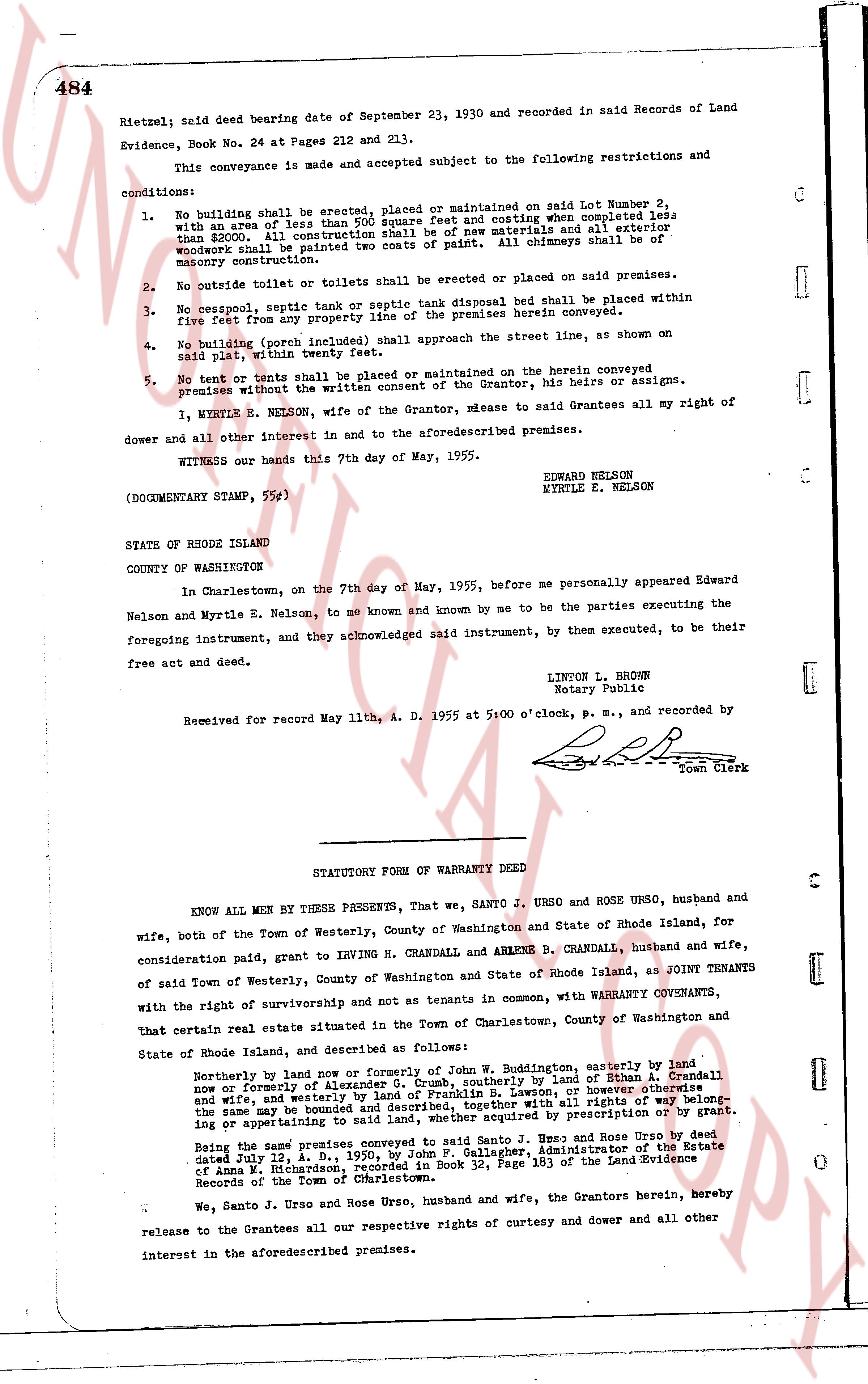
Rietzel; said deed bearing date of September 23, 1930 and recorded in said Records of Land Evidence, Book No. 24 at Pages 212 and 213.
This conveyance is made and accepted subject to the following restrictions and conditions:
1. No building shall be erected, placed or maintained on said Lot Number 2, with an area of less than 500 square feet and costing when completed less than $5000. All construction shall be of new materials and all exterior woodwork shall be painted two coats of paint. All chimneys shall be of masonry construction.
2. No outside toilet or toilets shall be erected or placed on said premises.
3. No cesspool, septic tank or septic tank disposal bed shall be placed within five feet from any property line of the premises herein conveyed.
4. No building (porch included) shall approach the street line, as shown on said plat, within twenty feet.
5. No tent or tents shall be placed or maintained on the herein conveyed premises without the written consent of the Grantor, his heirs or assigns.
I, MYRTLE E. NELSON, wife of the Grantor, remise to said Grantees all my right of dower and all other interest in and to the aforementioned premises.
WITNESS our hands this 7th day of May, 1955.
EDWARD NELSON
MYRTLE E. NELSON
(DOCUMENTARY STAMP, 55c)
STATE OF RHODE ISLAND
COUNTY OF WASHINGTON
In Charlestown, on the 7th day of May, 1955, before me personally appeared Edward Nelson and Myrtle E. Nelson, to me known and known by me to be the parties executing the foregoing instrument, and they acknowledged said instrument, by them executed, to be their free act and deed.
LINTON L. BROWN
Notary Public
Received for record May 11th, A. D. 1955 at 5:00 o'clock, p. m., and recorded by [signature] Town Clerk
----
STATUTORY FORM OF WARRANTY DEED
KNOW ALL MEN BY THESE PRESENTS, that we, SANTO J. URSO and ROSE URSO, husband and wife, both of the Town of Westerly, County of Washington and State of Rhode Island, for consideration said paid, grant to IRVING H. CRANDALL and ARLENE B. CRANDALL, husband and wife, of said Town of Westerly, County of Washington and State of Rhode Island, as JOINT TENANTS with the right of survivorship and not as tenants in common, with WARRANTY COVENANTS, that certain real estate situated in the Town of Charlestown, County of Washington and State of Rhode Island, and described as follows:
Northerly by land now or formerly of John W. Buddington, easterly by land now or formerly of Alexander S. [?], southerly by land of Ethan A. Crandall and wife, and westerly by land of Franklin B. Lawton, or however otherwise the same may be bounded and described, together with all rights, liberties, appurtenances or in pertaining to said land, as the same may be acquired by prescription or by grant.
Being the same premises conveyed to said Santo J. Urso and Rose Urso by deed dated July 12, A. D. 1950, by John F. Gallagher, Administrator of the Estate of Anna W. Richardson, recorded in Book 32, Page 183 of the Land Evidence Records of the Town of Charlestown.
We, Santo J. Urso and Rose Urso, husband and wife, the Grantors herein, hereby release to the Grantees all our respective rights of curtesy and dower and all other interest in the aforementioned premises.
The page as recorded