The instrument's own words
page 1 · read by Gemma vision
477
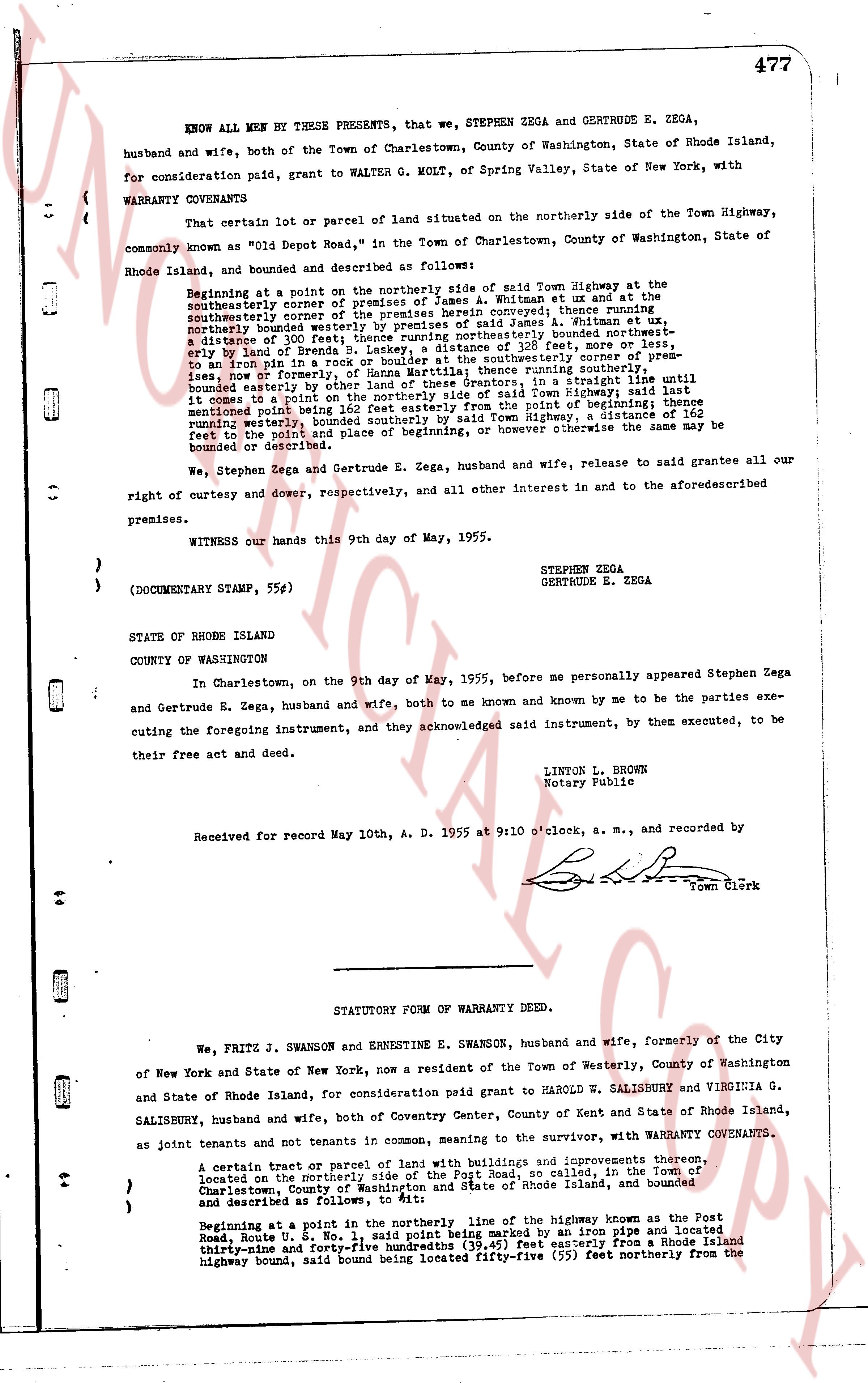
KNOW ALL MEN BY THESE PRESENTS, that we, STEPHEN ZEGA and GERTRUDE E. ZEGA, husband and wife, both of the Town of Charlestown, County of Washington, State of Rhode Island, for consideration paid, grant to WALTER G. MOLT, of Spring Valley, State of New York, with WARRANTY COVENANTS
That certain lot or parcel of land situated on the northerly side of the Town Highway, commonly known as "Old Depot Road," in the Town of Charlestown, County of Washington, State of Rhode Island, and bounded and described as follows:
Beginning at a point on the northerly side of said Town Highway at the southeasterly corner of the premises of James A. Whitman et ux and their heirs, thence running southeasterly the corner of the premises hereby conveyed, thence running northerly along the northerly boundary of the premises of said James A. Whitman et ux, running a distance of 300 feet; thence running northerly bounded northeastly on, or by, land of Henry S. Moore, a distance of 132 feet; more or less; thence running westerly, to an iron pin in a rock or boulder at the southeasterly corner of premises, running a distance of 132 feet; thence running southerly, thence running southeasterly, bounded easterly by other land of these Grantors, in a straight line until it comes to a point on the northerly side of said Town Highway, a distance of 165 feet mentioned herein being 132 feet easterly from the point of beginning; thence running westerly, bounded southerly by said Town Highway, a distance of 165 feet to the point and place of beginning, or however otherwise the same may be bounded or described.
We, Stephen Zega and Gertrude E. Zega, husband and wife, release to said grantee all our right of curtesy and dower, respectively, and all other interest in and to the aforesaid premises.
WITNESS our hands this 9th day of May, 1955.
STEPHEN ZEGA
GERTRUDE E. ZEGA
(DOCUMENT STAMP, 55¢)
STATE OF RHODE ISLAND
COUNTY OF WASHINGTON
In Charlestown, on the 9th day of May, 1955, before me personally appeared Stephen Zega and Gertrude E. Zega, husband and wife, both to me known and known by me to be the parties executing the foregoing instrument, and they acknowledged said instrument, by them executed, to be their free act and deed.
LINTON L. BROWN
Notary Public
Received for Record May 10th, A. D. 1955 at 9:10 o'clock, a. m., and recorded by
[Signature]
Town Clerk
----
STATUTORY FORM OF WARRANTY DEED.
We, FRITZ J. SWANSON and ERNESTINE E. SWANSON, husband and wife, formerly of the City of New York and State of New York, now a resident of the Town of Westerly, County of Washington and State of Rhode Island, for consideration paid grant to HAROLD W. SALISBURY and VIRGINIA G. SALISBURY, husband and wife, both of Coventry Center, County of Kent and State of Rhode Island, as joint tenants and pots tenants in common, meaning to the survivor, with WARRANTY COVENANTS,
A certain tract or parcel of land with buildings and improvements thereon, located on the northerly side of the Post Road, so called, in the Town of Charlestown, County of Washington and State of Rhode Island, and bounded and described as follows:
Beginning at a point in the northerly line of the highway known as the Post Road Route U. S. No. 1, said point being marked by an iron pipe and located thirty-three and forty-three hundredths (33.43) feet easterly from a Rhode Island highway bound, said bound being located fifty-five (55) feet northerly from the
The page as recorded