The instrument's own words
page 1 · read by Gemma vision
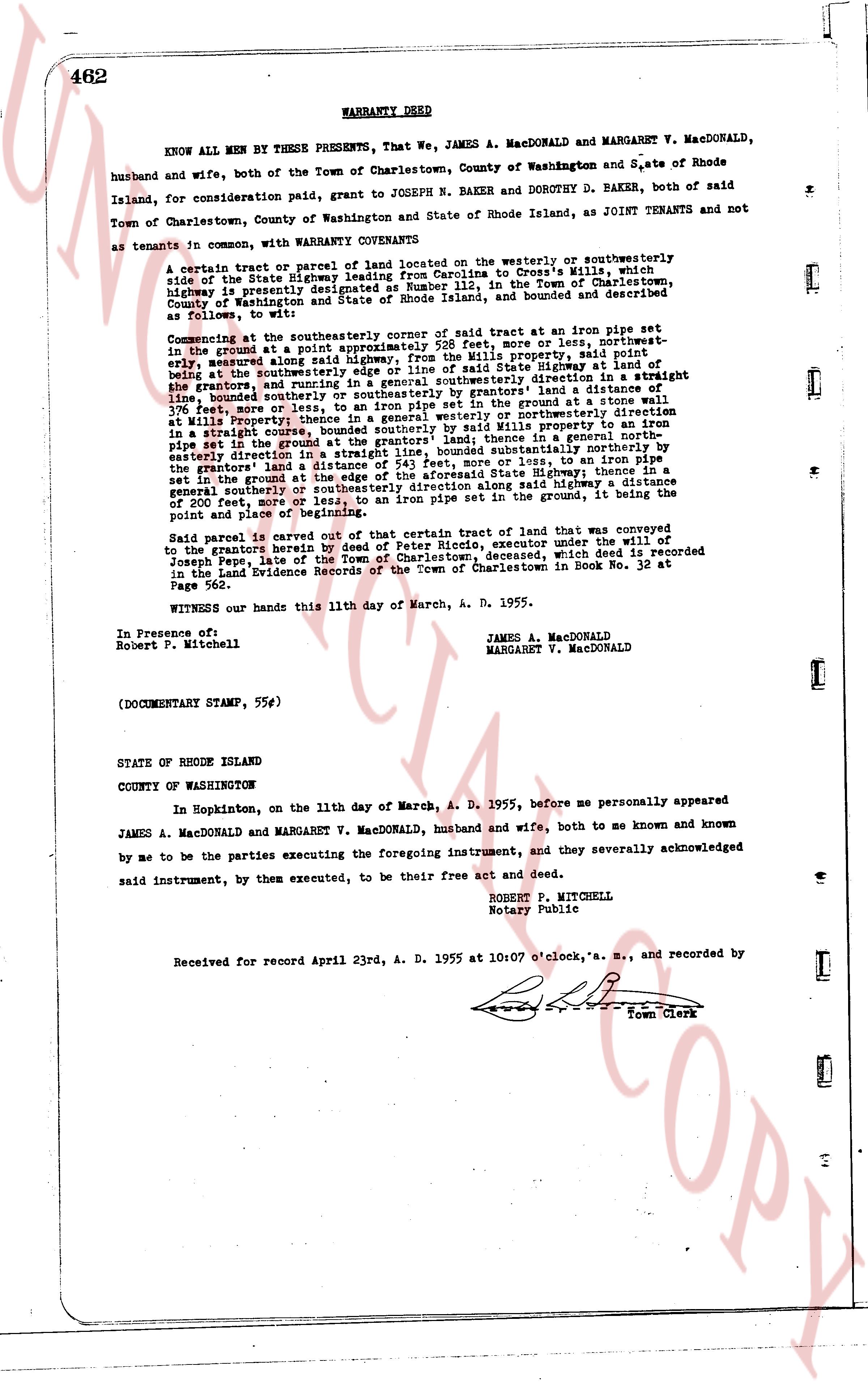
462 WARRANTY DEED
KNOW ALL MEN BY THESE PRESENTS, That We, JAMES A. MACDONALD and MARGARET V. MACDONALD, husband and wife, both of the Town of Charlestown, County of Washington and State of Rhode Island, for consideration paid, grant to JOSEPH N. BAKER and DOROTHY D. BAKER, both of said Town of Charlestown, County of Washington and State of Rhode Island, as JOINT TENANTS and not as tenants in common, with WARRANTY CONVEYANTS
A certain tract or parcel of land located on the westerly or southwesterly side of the State Highway leading from Charlestown to coprime's Mill, while highway is presently designated as Route 138, in the Town of Charlestown, County of Washington and State of Rhode Island, and bounded and described as follows, to wit:
Commencing at the southeasterly corner of said tract at an iron pipe set in the ground at a point approximately 528 feet more or less, northwestly, measured along said highway, from the line of said State highway at land of bouds at the southeasterly corner of said line of said State highway at land of the grantors, and running in a general northeasterly direction to a straight line bounding southerly the said tract at a distance of 376 feet, more or less, to an iron pipe set in the ground at a stone wall in Mills property, thence running in a general northerly or northeasterly direction in a straight course, bounded southerly by said Mills property to an iron pipe set in the ground at a point 150 feet, more or less, thence in a general northeasterly pipe set in the ground at the end of a straight line, bounded southeasterly by northernly in easterly direction to a straight line, bounded southeasterly by northernly in the grantors' land a distance of 521 feet, more or less, to an iron pipe set in the ground at the line of said State highway; thence in a straight line, bounded southeasterly by said highway, thence in a general southerly or southeasterly direction along said highway, a distance of 200 feet, more or less, to an iron pipe set in the ground, it being the point and place of beginning.
Said parcel is carved out of a certain tract of land that was conveyed to the grantors hereby by deed of Peter Riccolo, executor under the will of Joseph Pepe, late of the Town of Charlestown, deceased, which deed is recorded in the Land Evidence Records of the Town of Charlestown in Book 32 at Page 56.
WITNESS our hands this 11th day of March, A. D. 1955.
JAMES A. MACDONALD
MARGARET V. MACDONALD
In Presence of:
Robert P. Mitchell
(DOCUMENTARY STAMP, 55¢)
STATE OF RHODE ISLAND
COUNTY OF WASHINGTON
In Hopkinton, on the 11th day of March, A. D. 1955, before me personally appeared JAMES A. MACDONALD and MARGARET V. MACDONALD, husband and wife, both to me known and known by me to be the parties executing the foregoing instrument, and they severally acknowledged said instrument, by them executed, to be their free act and deed.
ROBERT P. MITCHELL
Notary Public
Received for record April 23rd, A. D. 1955 at 10:07 o'clock, "a. m.," and recorded by
[Signature]
Town Clerk
The page as recorded