The instrument's own words
page 1 · read by Gemma vision
260
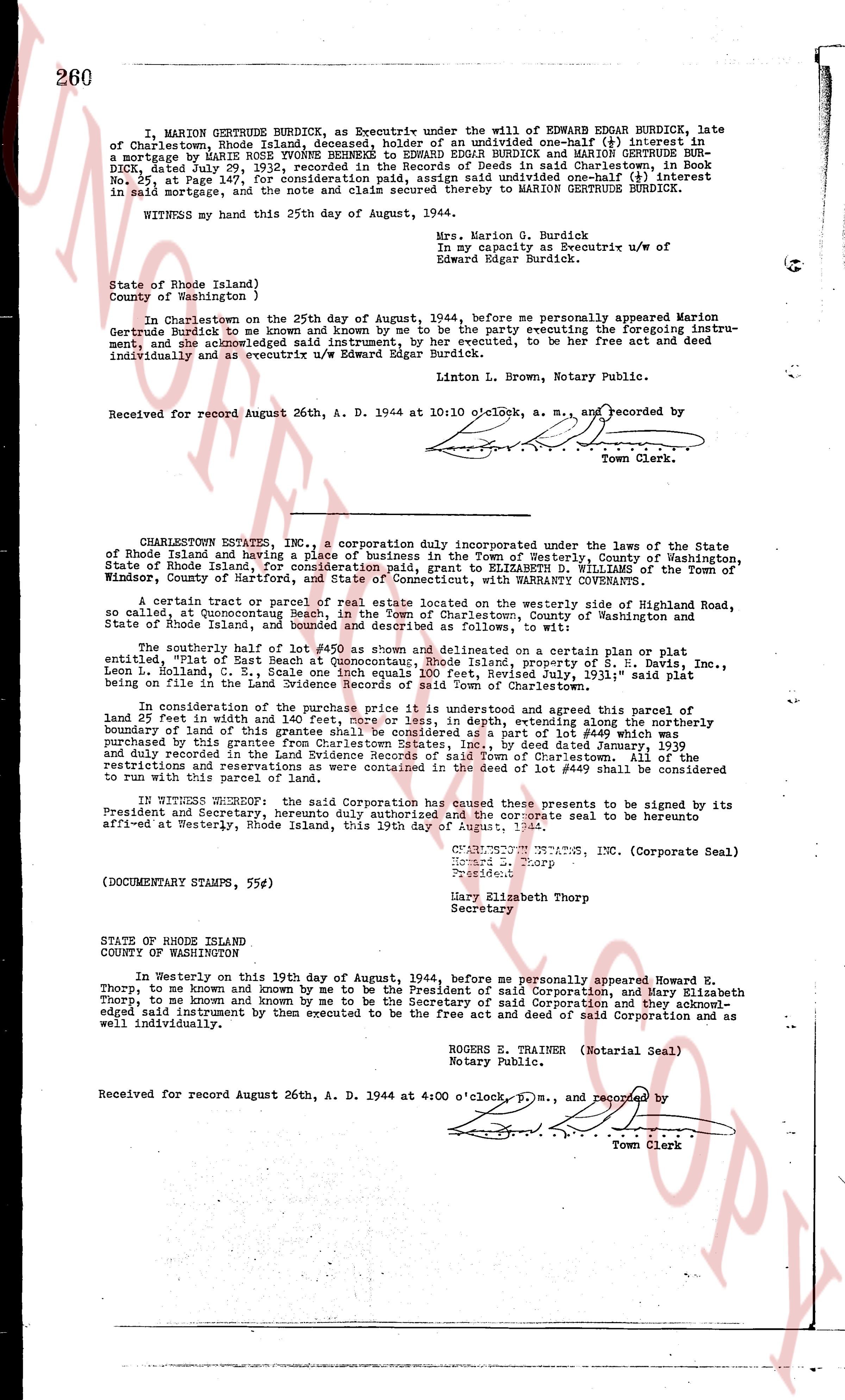
I, MARION GERTRUDE BURDICK, as Executrix under the will of EDWARD EDGAR BURDICK, late of Charlestown, Rhode Island deceased, hereby sell one-half interest in my interest in a mortgage by MARY ROSE TOWNSEND to EDWARD EDGAR BURDICK and MARION GERTRUDE BURDICK, dated July 29, 1932, recorded in the Records of Deeds in said Charlestown, in Book No. 25, at Page 147, for consideration paid, and do hereby transfer all interest in said mortgage and the note and claim ensuing thereof to MARION GERTRUDE BURDICK.
WITNESS my hand this 25th day of August, 1944.
Mrs. Marion G. Burdick
in my Capacity as Executrix u/w of
Edward Edgar Burdick.
State of Rhode Island)
County of Washington )
In Charlestown on the 25th day of August, 1944, before me personally appeared Marion Gertrude Burdick to me known and by me to be the party be executing foregoing instrument, and acknowledged said instrument, by her executed, to be her free act and deed individually and as executrix u/w Edward Edgar Burdick.
Linton L. Brown, L. m., Notary Public.
Received for record August 26th, A. D. 1944 at 10:10 o'clock, a. m., and recorded by [?]
Town Clerk.
----
CHARLESTOWN ESTATES, INC., a corporation duly incorporated under the laws of the State of Rhode Island and having a place of business in the Town of Westerly, County of Washington, State of Rhode Island, for consideration paid, grant to ELIZABETH D. WILLIAMS of the Town of Windsor, County of Hartford, Connecticut, WITH WARRANTY CONVEYANCE.
A certain tract or parcel of real estate now located on the westerly side of Highroad Road, so called, at Quannockson Beach, in the Town of Charlestown, County of Washington, State of Rhode Island, and bounded and described as follows, to wit:
The southerly half of lot #450 as shown and delimited on a certain plan or plat entitled "Plat of East Beach" dated July 1, 1935, property of S. H. Davis, Inc., Leon L. Holland, C. S., Scale one inch equals 100 feet, Revised July, 1931," said plat being recorded in the land evidence records of said Charlestown.
In consideration of the purchase price it is understood and agreed that this parcel of land 25 feet in width and as much, more or less, in depth, extending along northerly the southern boundary line of this grantee's other lot, consisting of one lot marked as lot #450 purchased by this grantee from Charlestown Estates, Inc., by deed dated January, 1939 and recorded in the land evidence records of the Town of Charlestown. All of the restrictions and reservations as were contained in the deed of lot #450 shall be considered to run with this parcel of land.
IN WITNESS WHEREOF said Corporation has caused these presents to be signed by its President and Secretary, herunto duly authorized and the corporate seal to be hereunto affixed at Westerly, Rhode Island, this 19th day of August, 1944.
CHARLESTOWN ESTATES, INC. (Corporate Seal)
Howard E. Thorp
President
Mary Elizabeth Thorp
Secretary
(DOCUMENTARY STAMPS, 55¢)
STATE OF RHODE ISLAND
COUNTY OF WASHINGTON
In Westerly on this 19th day of August, 1944, before me personally appeared Howard E. Thorp, to me known and by me to be the President of said Corporation, and Mary Elizabeth Thorp to me known and by me to be the Secretary of said Corporation and they acknowledged said instrument by them executed to be the free act and deed of said Corporation and as well individually.
ROGERS TRAINER (Notarial Seal)
Notary Public.
Received for record August 26th, A. D. 1944 at 4:00 o'clock p. m., and recorded by [?]
Town Clerk
page 2 · read by Gemma vision
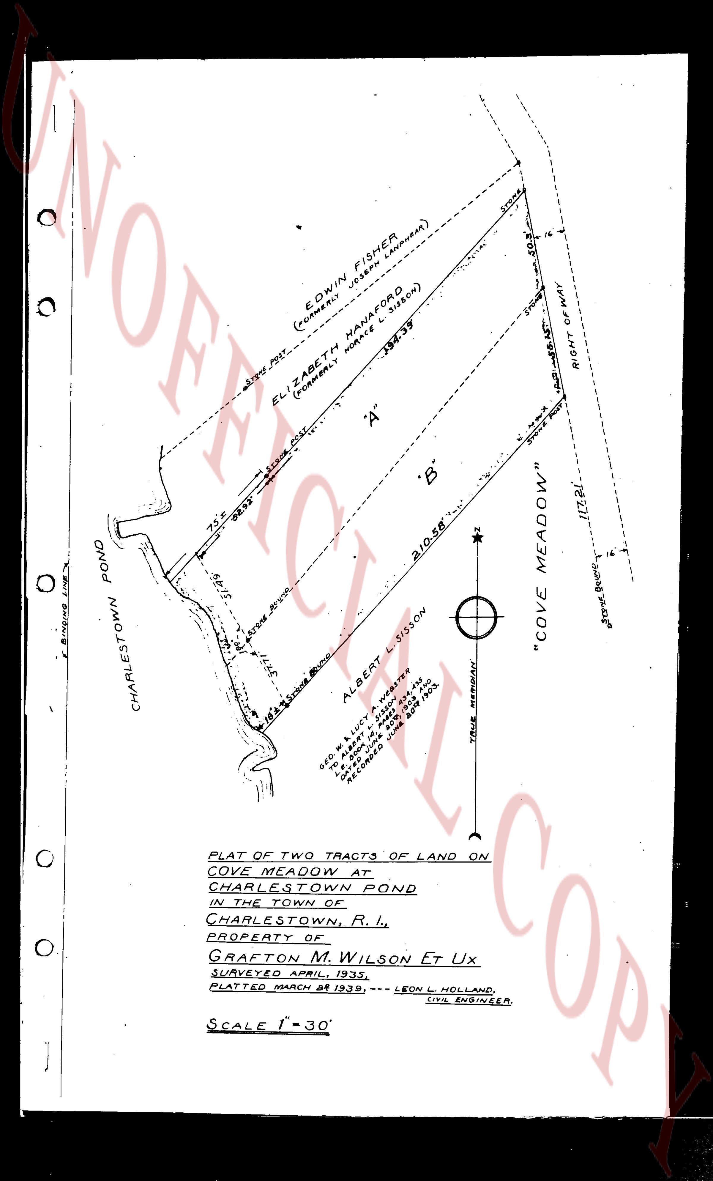
[Map showing parcels of land]
EDWIN FISHER
(FORMERLY JOSEPH LANDHEAR)
ELIZABETH HANAFORD
(FORMERLY NORCE SISON)
"A"
"B"
ALBERT L SISSON
GEO M LUCY & A WESTER
FROM SISSON, Bk 412
TO GEO M LUCY, Bk 438
P 438, 1905
RECORDED JUNE 4th 1905
BOOK 438 PAGE 1905
"COVE MEADOW"
RIGHT OF WAY
CHARLESTOWN POND
PLAT OF TWO TRACTS OF LAND ON
COVE MEADOW AT
CHARLESTOWN POND
IN THE TOWN OF
CHARLESTOWN, R. I.
PROPERTY OF
GRAFTON M. WILSON Et Ux
SURVEYED APRIL, 1939.
PLATTED MARCH 28 1939, --- LEON L. HOLLAND,
CIVIL ENGINEER.
SCALE 1" = 30'
page 3 · read by Gemma vision
STATE of RHODE ISLAND, ETC.)
County of Providence }
In Providence in said County on the Twenty-sixth day of August A. D., one thousand nine hundred and forty-four (1944) before me personally appeared the above named Grantors GRAPTON M. WILSON, and MARION G. WILSON each and all to me known, and known by me to be the parties executing the foregoing instrument, and they acknowledged said instrument, by them executed to be their free act and deed.
J. BENJAMIN WATSON
Notary Public.
Received for record August 29th, A. D. 1944 at 9:05 o'clock, a. m., and recorded by [signature]
Town Clerk
----
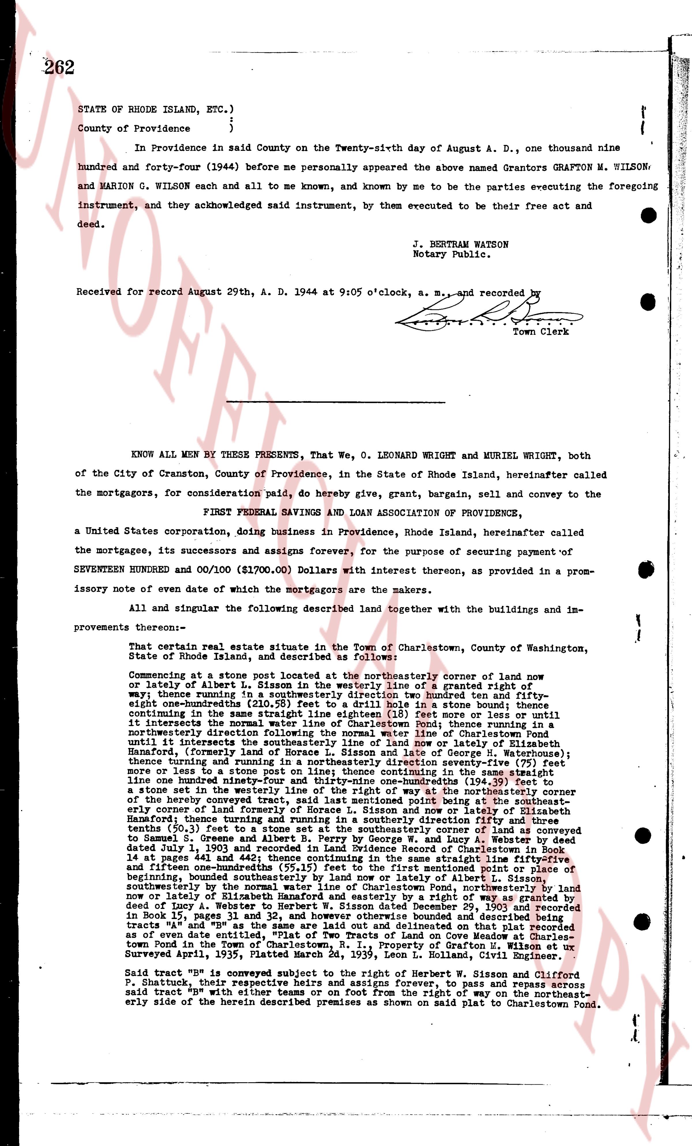
KNOW ALL MEN BY THESE PRESENTS, That We, O. LEONARD WRIGHT and MURIEL WRIGHT, both of the City of Cranston, County of Providence, in the State of Rhode Island, hereinafter called the mortgagors, for consideration paid, do hereby give, grant, bargain, sell and convey to the
FIRST FEDERAL SAVINGS AND LOAN ASSOCIATION OF PROVIDENCE,
a United States corporation, doing business in Providence, Rhode Island, hereinafter called the mortgagee, its successors and assigns forever, for the purpose of securing payment of SEVENTEEN HUNDRED and 00/100 ($1700.00) Dollars with interest thereon, as provided in a promissory note of even date of which the mortgagors are the makers.
All and singular the following described land together with the buildings and improvements thereon:—
That certain real estate situate in the Town of Charlestown, County of Washington, State of Rhode Island, and described as follows:
Commencing at a stone post located at the northeasterly corner of land now or lately of Albert L. Sisson in the westerly line of a granted right of way; thence running in a southeasterly direction two hundred ninety one and fifty-eight one-hundredths (291.58) feet to a stone post in a stone bound; thence continuing in the same straight line eighteen (18) feet more or less until it intersects the northwesterly corner of land now or lately of Pond fence running in a northeasterly direction following the normal water line of Charlestown Pond until it intersects the westerly line of a granted right of way now or lately of Hannah Hanford, (formerly the land of Horace L. Sisson and late George M. Hawthorne), thence running in a northeasterly direction along said right of way one hundred seventy more or less to a stone post on line; thence continuing in the same straight line one hundred seventy and one-half (170.5) feet more or less until it intersects in a stone set in the westerly line of the right of way at the northeasterly corner of the herein conveyed premises; thence running in a southeasterly direction fifty-eight early corner of land formerly of Horace L. Sisson and now lately of Elizabeth Hanford; thence turning in a southeasterly direction two hundred seventy-five and ten-tenths (275.10) feet to a stone set at the southeasterly corner of land as conveyed to Samuel G. Sisson in a deed from Augustus W. and Mary A. Webster by deed dated July 1, 1903 and recorded in Land Evidence records of Charlestown, R.I. in 16 pages at 241 and 442; thence continuing in the same straight line fifty-five and fifteen one-hundredths (55.15) feet to a stone post in a stone bound at the corner of beginning, bounded southeasterly by land now or lately of Albert L. Sisson, southeasterly by land now or lately of the state of Rhode Island, by the northwesterly line of land now or lately of Elizabeth Hanford and easterly by a water right as granted by deed of copy of A. Webster to Samuel G. Sisson September 29, 1893 and recorded in Books 15 pages 31 and 32, and however otherwise described and bounded being tracts 14 and 15 on a map entitled "Plat of Two Tracts of Land on Cove Meadow at Charlestown Pond in the Town of Charlestown, County of Washington, R.I." as of even date entitled, "Plat of Two Tracts of Land on Cove Meadow at Charlestown Pond in the Town of Charlestown, County of Washington, R.I." as Surveyed April, 1935, Platted March 2d, 1939, Leon L. Holland, Civil Engineer.
Said tract "B" is subject to the right of Herbert W. Sisson and Clifford P. Shaddock, their representatives and assigns forever, to pass and repass across said tract "B" with either teams or on foot from the right of way on the northeasterly side of the herein described premises as shown on said plat to Charlestown Pond.
The page as recorded