The instrument's own words
page 1 · read by Gemma vision
267
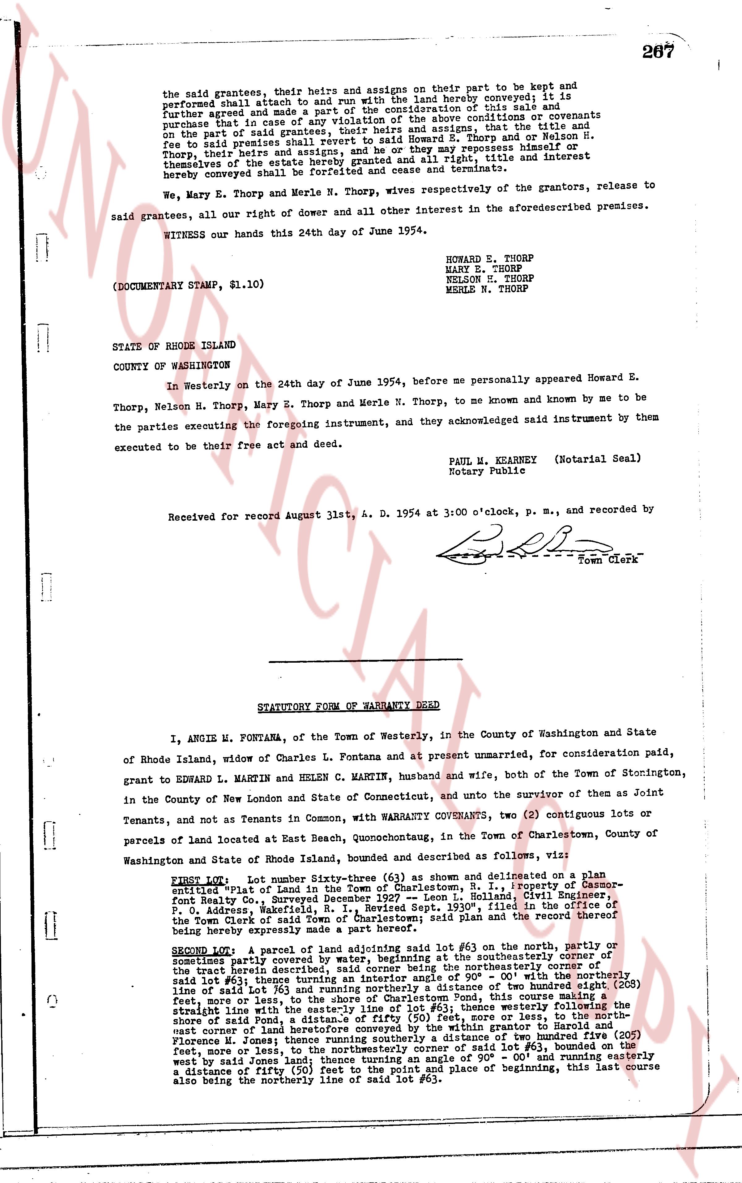
the said grantees, their heirs and assigns on their part to be kept and
performed shall inure to and avail to all persons with the land hereby conveyed; it is
further agreed and made a part of the consideration of this sale and
purchase that in case of any violation of the above conditions or covenants
on the part of said grantees, their heirs and assigns, that the title and
fee to said premises shall revert to said Howard E. Thorp and on Nelson H.
Thorp, their heirs and assigns, and that they may resume possession thereof,
themselves or their assigns hereby granted and all right, title and interest
hereby conveyed shall be forfeited and cease and terminate.
We, Mary E. Thorp and Merle N. Thorp, wives respectively of the grantors, release to
said grantees, all our right of dower and all other interest in the aforesaid premises.
WITNESS our hands this 24th day of June 1954.
(DOCUMENTARY STAMP, $1.10)
HOWARD E. THORP
MARY E. THORP
NELSON H. THORP
MERLE N. THORP
STATE OF RHODE ISLAND
COUNTY OF WASHINGTON
In Westerly on the 24th day of June 1954, before me personally appeared Howard E.
Thorp, Nelson H. Thorp, Mary E. Thorp and Merle N. Thorp, to me known and known by me to be
the parties executing the foregoing instrument, and they acknowledged said instrument by them
executed to be their free act and deed.
PAUL M. KEARNEY (Notarial Seal)
Notary Public
Received for record August 31st, A. D. 1954 at 3:00 o'clock, p. m., and recorded by
[Signature]
Town Clerk
----
STATUTORY FORM OF WARRANTY DEED
I, ANGIE M. FONTANA, of the Town of Westerly, in the County of Washington and State
of Rhode Island, widow of Charles L. Fontana and at present unmarried, for consideration paid,
grant to EDWARD L. MARTIN and HELEN C. MARTIN, husband and wife, both of the Town of Stonington,
in the County of New London and State of Connecticut, and unto the survivor of them as Joint
Tenants, and not as Tenants in Common, with WARRANTY COVENANTS, two (2) contiguous lots or
parcels of land located at East Beach, Quonochontaug, in the Town of Charlestown, County of
Washington and State of Rhode Island, bounded and described as follows, viz:
FIRST LOT: Lot number Sixty-three (#63) as shown and delineated on a Plan
entitled "Plan of Lots in Town of Charlestown, R. I.," prepared by Bassner-
Holl Realty Co., Surveyors, Beacon Falls, Connecticut, Civil Engineer,
P. O. Address, Wakefield, R. I., Revised Sept. 1930", filed in the office of the
Town of Charlestown said Plan being a part hereof, said Lot and the rectangular
of being hereby expressly made a part hereof.
SECOND LOT: A parcel of land adjoining said lot #63 on the north, partly or
potentially partly covered by water, beginning at the southeasterly corner of
the tract herein described, said corner being the northeasterly corner of
said lot #63 then turning northerly a distance of 90° 00' with a northerly
side of lot #63 then turning easterly a distance of two hundred eight (208)
feet, more or less, to the shore of Charlestown Pond; then continuing
southerly with the shore of said Charlestown Pond, then southerly the
shore of said Pond, a distance of fifty (50) feet, more or less, then north-
east corner of land belonging to the estate of Eleanor Harold and
Florence M. Jones; then running southerly a distance of two hundred five (205)
feet, more or less, to the southeasterly corner of said lot #63, then turning
west by said Jones Land; thence turning an angle of 90° 00' and running easterly
a distance of fifty (50) feet to the point and place of beginning, this last course
also being the northerly line of said lot #63.
page 2 · read by Gemma vision
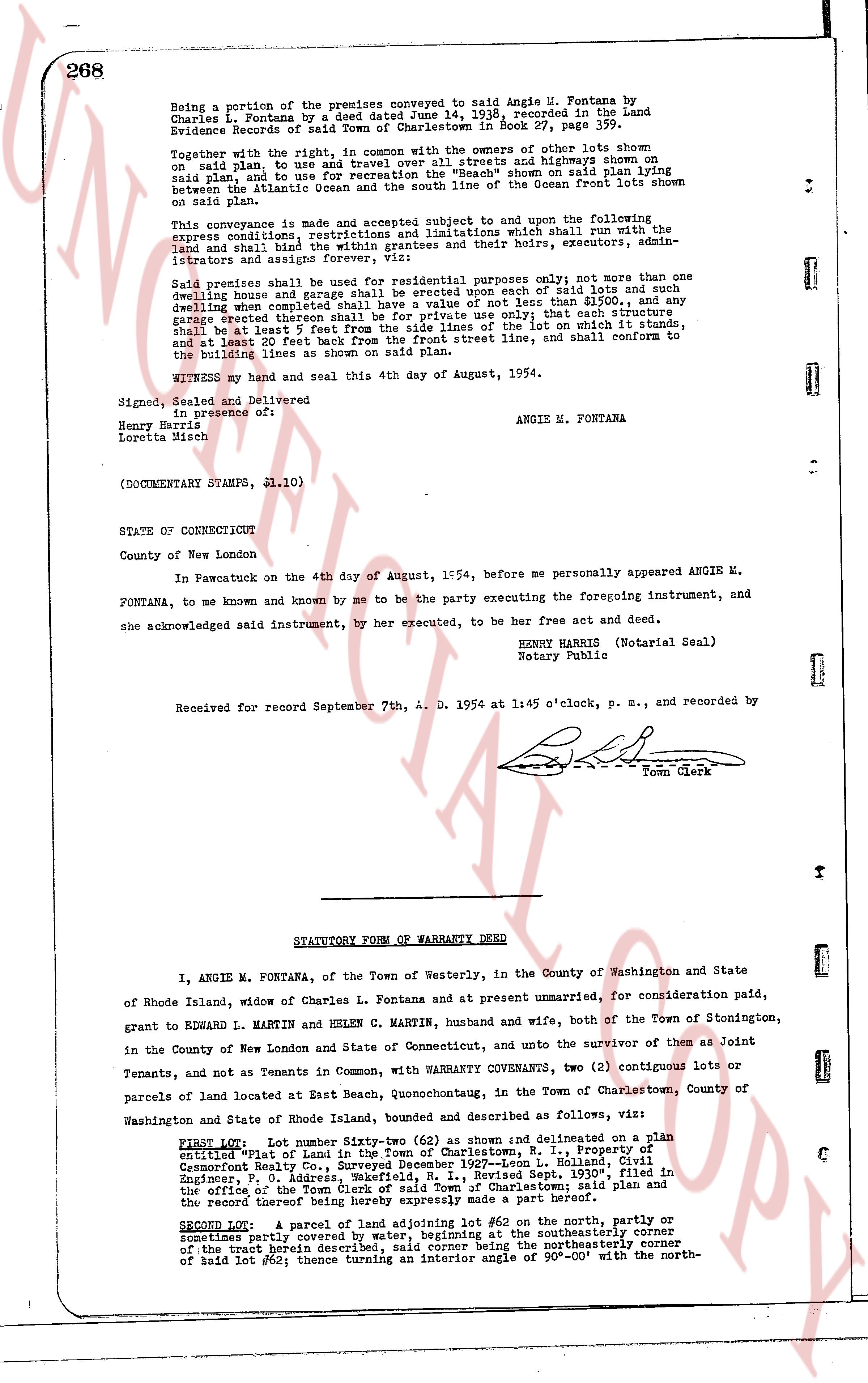
Being a portion of the premises conveyed to said Angie M. Fontana by
Charles L. Fontana by a deed dated June 14, 1936, recorded in the Land
Evidence Records of said Town of Charlestown in Book 27, page 359.
Together with the right, in common with the owners of other lots shown
on said plan, to use and use for all purposes all streets and highways shown on
said plan and to use for recreation the beach area shown on said plan lying
between the Atlantic Ocean and the south line of the Ocean front lots shown on
said plan.
This conveyance is made and accepted subject, sublet and to the upon following
express conditions, restrictions and limitations which shall run with the land
and bind the grantees and their heirs, executors, admin-
istrators and assigns forever, viz:
Said premises shall be used for residential purposes only; not more than one
dwelling house and garage shall be erected upon each of said lots and such
dwelling when completed shall have a value of not less than $5,000, and any
garage erected thereon shall be for private use only; that each structure
shall be laid 5 feet back from the boundaries of the lot on which it stands,
and at least 20 feet back from the front street line, and shall conform to
the building lines as shown on said plan.
WITNESS my hand and seal this 4th day of August, 1954.
Signed, Sealed and Delivered
in the presence of:
Henry Harris
Lorette Misch
ANGIE M. FONTANA
(DOCUMENTARY STAMPG, $1.10)
STATE OF CONNECTICUT
County of New London
In Pawcatuck on the 4th day of August, 1954, before me personally appeared ANGIE M.
FONTANA, to me known and known by me to be the party executing the foregoing instrument, and
she acknowledged said instrument, by her executed, to be her free act and deed.
HENRY HARRIS (Notarial Seal)
Notary Public
Received for record September 7th, A. D. 1954 at 1:45 o'clock, p. m., and recorded by
[Signature]
Town Clerk
----
STATUTORY FORM OF WARRANTY DEED
I, ANGIE M. FONTANA, of the Town of Westerly, in the County of Washington and State
of Rhode Island, widow of Charles L. Fontana and at present unmarried, for consideration paid,
grant to EDWARD L. MARTIN and HELEN C. MARTIN, husband and wife, both of the Town of Stonington,
in the County of New London and State of Connecticut, and unto the survivor of them as Joint
Tenants, and not as Tenants in Common, with WARRANTY CONVEYANTS, two (2) contiguous lots or
parcels of land located at East Beach, Quonochontaug, in the Town of Charlestown, County of
Washington and State of Rhode Island, bounded and described as follows, viz:
FIRST LOT: Lot number Sixty-two (#62) as shown and delineated on a plat
entitled "Plat of Land in the Town of Charlestown, R.I. property of
Cessnort Fontana Etc., dated 1936-drawn by L. Holland, City
Engineers, P.O. Address, Norfolk, R.I., Revised Sept. "1930", filed in
the office of the Town Clerk of said Town of Charlestown said plan and the
recorded deed of title to the same and a part hereof.
SECOND LOT: A parcel of land adjoining lot #62 on the north, partly or
sometimes partly covered by water, beginning at the southeasterly corner
of the least beach described, said corner being the northeasterly corner
of said lot #62; thence turning an interior angle of 90°-00' with the north-
The page as recorded