The instrument's own words
page 1 · read by Gemma vision
213
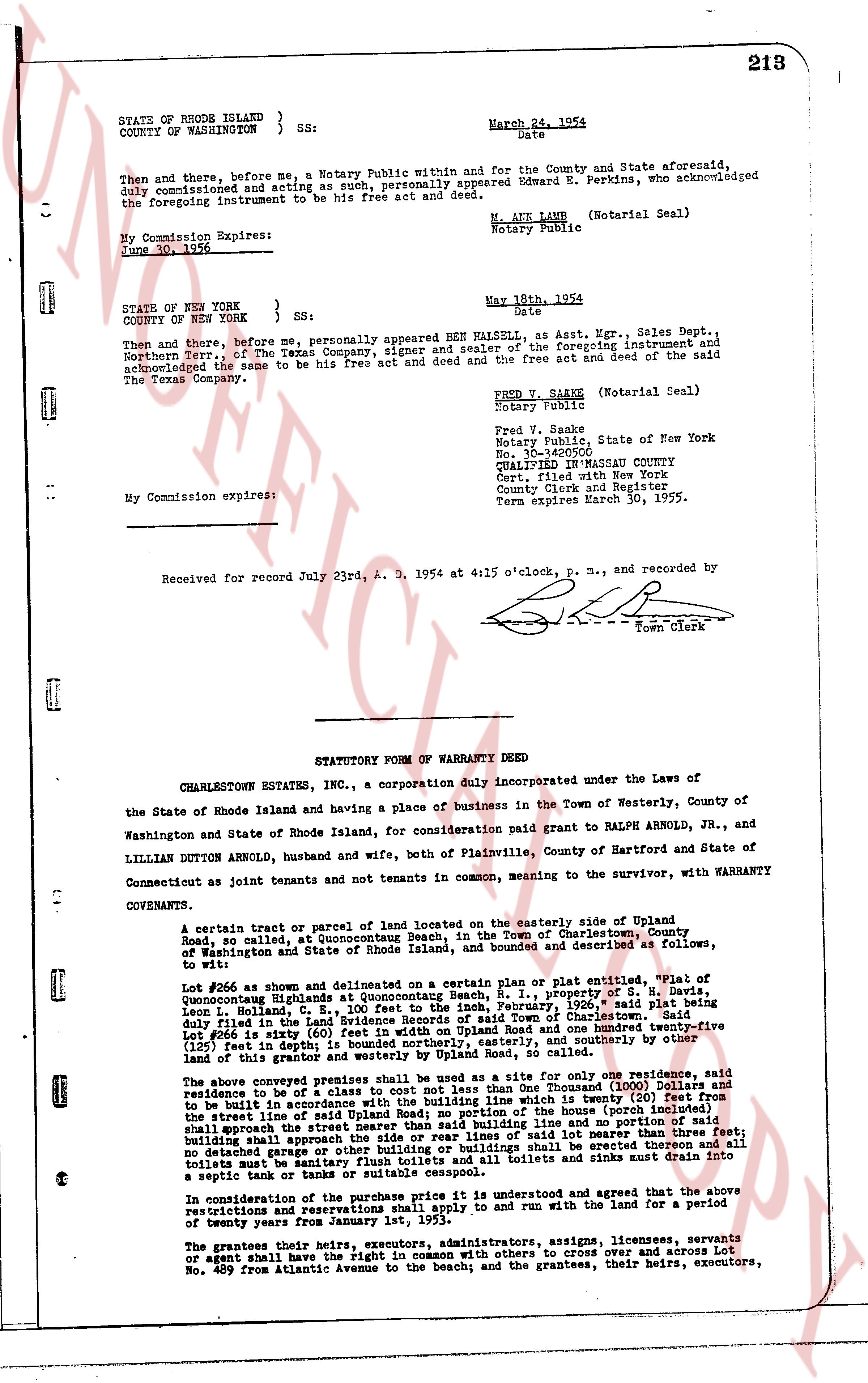
STATE OF RHODE ISLAND }
COUNTY OF WASHINGTON } SS:
March 24, 1954
Date
Then and there, before me, a Notary Public within and for the County and State aforesaid, duly commissioned and acting as such, personally appeared Edward E. Perkins, who acknowledged the foregoing instrument to be his free act and deed.
My Commission Expires:
June 30, 1956
W. ANN LAMB (Notarial Seal)
Notary Public
STATE OF NEW YORK }
COUNTY OF NEW YORK } SS:
May 18th, 1954
Date
Then and there, before me, personally appeared BEE HALSERN, as Asst. Mgr., Sales Dept., of The Texas Company, signer and sealer of the foregoing instrument and Northern Terr., of The Texas Company, signer and sealer of the foregoing instrument and acknowledged the same to be his free act and deed and the free act and deed of the said company.
My commission expires:
FRED V. SAAKE (Notarial Seal)
Notary Public
Fred V. Saake
Notary Public, State of New York
No. 10-1420500
QUALIFIED IN NEW YORK COUNTY
Cert. filed with New York
County Clerk and Register
Term expires March 30, 1955.
Received for record July 23rd, A. D. 1954 at 4:15 o'clock, p. m., and recorded by
[Signature]
Town Clerk
----
STATUTORY FORM OF WARRANTY DEED
CHARLESTOWN ESTATES INC., a corporation duly incorporated under the Laws of
the State of Rhode Island and having a place of business in the Town of Westerly, County of Washington and State of Rhode Island, for consideration paid grant to RALPH ARNOLD, JR., and LILLIAN DUTTON ARNOLD, husband and wife, both of Plainville, County of Hartford and State of Connecticut as joint tenants and not tenants in common, meaning to the survivor, with WARRANTY COVENANTS.
A certain tract or parcel of land located on the easterly side of Upland Road, so called, at Quonocutaug Beach, in the Town of Charlestown, County of Washington and State of Rhode Island, bounded and described as follows, and bounded as to wit:
Lot #266 as shown and delineated on a certain plan or plat entitled, "Plat of Quonocutaug Highlands at Quonocutaug Beach, R.I., property of S. S. Plains, Layout Book 1, Page 1 of the Charlestown Land Evidence Records, 1929" said plat being duly filed in the Land Evidence Records of said Town of Charlestown, said Lot #266 being 150 feet wide (east and west) and one hundred fifty-five feet (155 feet) deep (north and south) and one hundred fifty-five feet (155 feet) deep (125 feet) in depth; is bounded northerly, easterly, and southerly and by other land of this grantor and westerly by Upland Road, as called.
The above conveyed premises shall be used only as a site for one only residence, said residence to be of a class a shelter to cost not less than One Thousand (1000) Dollars and residence to be of a class a shelter to cost not less than One Thousand (1000) Dollars and residence to be built in accordance with the building line map to be shortly (20) feet from the street line of said sale of land and the distance of the house (porch included) from the street line of said sale of land and the distance of the house (porch included) from the street line of said sale of land and the distance of the house (porch included) from the street line of said sale of land and the distance of the house (porch included) from the street line of said sale of land and the distance of the house (porch included) from the street line of said sale of land and the distance of the house (porch included) from the street line of said sale of land and the distance of the house (porch included) from the street line of said sale of land and the distance of the house (porch included) from the street line of said sale of land and the distance of the house (porch included) from the street line of said sale of land and the distance of the house (porch included) from the street line of said sale of land and the distance of the house (porch included) from the street line of said sale of land and the distance of the house (porch included) from the street line of said sale of land and the distance of the house (porch included) from the street line of said sale of land and the distance of the house (porch included) from the street line of said sale of land and the distance of the house (porch included) from the street line of said sale of land and the distance of the house (porch included) from the street line of said sale of land and the distance of the house (porch included) from the street line of said sale of land and the distance of the house (porch included) from the street line of said sale of land and the distance of the house (porch included) from the street line of said sale of land and the distance of the house (porch included) from the street line of said sale of land and the distance of the house (porch included) from the street line of said sale of land and the distance of the house (porch included) from the street line of said sale of land and the distance of the house (porch included) from the street line of said sale of land and the distance of the house (porch included) from the street line of said sale of land and the distance of the house (porch included) from the street line of said sale of land and the distance of the house (porch included) from the street line of said sale of land and the distance of the house (porch included) from the street line of said sale of land and the distance of the house (porch included) from the street line of said sale of land and the distance of the house (porch included) from the street line of said sale of land and the distance of the house (porch included) from the street line of said sale of land and the distance of the house (porch included) from the street line of said sale of land and the distance of the house (porch included) from the street line of said sale of land and the distance of the house (porch included) from the street line of said sale of land and the distance of the house (porch included) from the street line of said sale of land and the distance of the house (porch included) from the street line of said sale of land and the distance of the house (porch included) from the street line of said sale of land and the distance of the house (porch included) from the street line of said sale of land and the distance of the house (porch included) from the street line of said sale of land and the distance of the house (porch included) from the street line of said sale of land and the distance of the house (porch included) from the street line of said sale of land and the distance of the house (porch included) from the street line of said sale of land and the distance of the house (porch included) from the street line of said sale of land and the distance of the house (porch included) from the street line of said sale of land and the distance of the house (porch included) from the street line of said sale of land and the distance of the house (porch included) from the street line of said sale of land and the distance of the house (porch included) from the street line of said sale of land and the distance of the house (porch included) from the street line of said sale of land and the distance of the house (porch included) from the street line of said sale of land and the distance of the house (porch included) from the street line of said sale of land and the distance of the house (porch included) from the street line of said sale of land and the distance of the house (porch included) from the street line of said sale of land and the distance of the house (porch included) from the street line of said sale of land and the distance of the house (porch included) from the street line of said sale of land and the distance of the house (porch included) from the street line of said sale of land and the distance of the house (porch included) from the street line of said sale of land and the distance of the house (porch included) from the street line of said sale of land and the distance of the house (porch included) from the street line of said sale of land and the distance of the house (porch included) from the street line of said sale of land and the distance of the house (porch included) from the street line of said sale of land and the distance of the house (porch included) from the street line of said sale of land and the distance of the house (porch included) from the street line of said sale of land and the distance of the house (porch included) from the street line of said sale of land and the distance of the house (porch included) from the street line of said sale of land and the distance of the house (porch included) from the street line of said sale of land and the distance of the house (porch included) from the street line of said sale of land and the distance of the house (porch included) from the street line of said sale of land and the distance of the house (porch included) from the street line of said sale of land and the distance of the house (porch included) from the street line of said sale of land and the distance of the house (porch included) from the street line of said sale of land and the distance of the house (porch included) from the street line of said sale of land and the distance of the house (porch included) from the street line of said sale of land and the distance of the house (porch included) from the street line of said sale of land and the distance of the house (porch included) from the street line of said sale of land and the distance of the house (porch included) from the street line of said sale of land and the distance of the house (porch included) from the street line of said sale of land and the distance of the house (porch included) from the street line of said sale of land and the distance of the house (porch included) from the street line of said sale of land and the distance of the house (porch included) from the street line of said sale of land and the distance of the house (porch included) from the street line of said sale of land and the distance of the house (porch included) from the street line of said sale of land and the distance of the house (porch included) from the street line of said sale of land and the distance of the house (porch included) from the street line of said sale of land and the distance of the house (porch included) from the street line of said sale of land and the distance of the house (porch included) from the street line of said sale of land and the distance of the house (porch included) from the street line of said sale of land and the distance of the house (porch included) from the street line of said sale of land and the distance of the house (porch included) from the street line of said sale of land and the distance of the house (porch included) from the street line of said sale of land and the distance of the house (porch included) from the street line of said sale of land and the distance of the house (porch included) from the street line of said sale of land and the distance of the house (porch included) from the street line of said sale of land and the distance of the house (porch included) from the street line of said sale of land and the distance of the house (porch included) from the street line of said sale of land and the distance of the house (porch included) from the street line of said sale of land and the distance of the house (porch included) from the street line of said sale of land and the distance of the house (porch included) from the street line of said sale of land and the distance of the house (porch included) from the street line of said sale of land and the distance of the house (porch included) from the street line of said sale of land and the distance of the house (porch included) from the street line of said sale of land and the distance of the house (porch included) from the street line of said sale of land and the distance of the house (porch included) from the street line of said sale of land and the distance of the house (porch included) from the street line of said sale of land and the distance of the house (porch included) from the street line of said sale of land and the distance of the house (porch included) from the street line of said sale of land and the distance of the house (porch included) from the street line of said sale of land and the distance of the house (porch included) from the street line of said sale of land and the distance of the house (porch included) from the street line of said sale of land and the distance of the house (porch included) from the street line of said sale of land and the distance of the house (porch included) from the street line of said sale of land and the distance of the house (porch included) from the street line of said sale of land and the distance of the house (porch included) from the street line of said sale of land and the distance of the
page 2 · read by Gemma vision
214
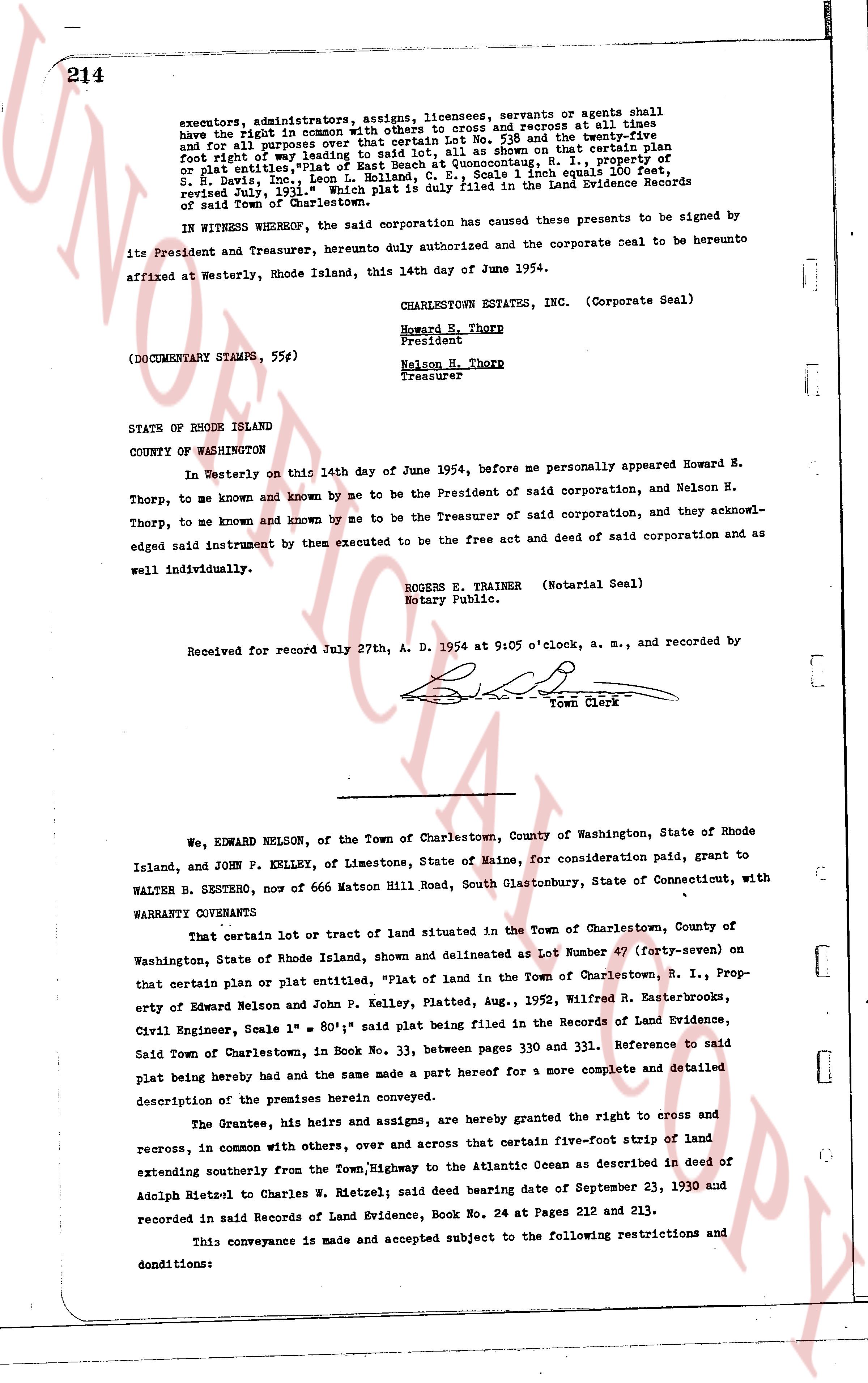
executors, administrators, assigns, licensees, servants or agents shall have the right in common with others to cross and recross at all times and for all purposes over that certain ten foot wide and twenty-five foot wide strip of land leading to the salt water, as shown on that certain plat reference or plat entitles, "Plat of East Beach at Quonocutunk, R. I.," property of S. H. Davis, Inc., Lemuel L. Holland, and others, scale 1 inch equals 100 feet, revised July 1, 1936, said Plat is duly filed in the Land Evidence Records of town of Charlestown.
IN WITNESS WHEREOF, the said corporation has caused these presents to be signed by its President and Treasurer, hereunto duly authorized and the corporate seal to be hereunto affixed at Westerly, Rhode Island, this 14th day of June 1954.
CHARLESTOWN ESTATES INC. (Corporate Seal)
Howard E. Thorp
President
Nelson H. Thorp
Treasurer
(DOCUMENTARY STAMPS, 55#)
STATE OF RHODE ISLAND
COUNTY OF WASHINGTON
In Westerly on this 14th day of June 1954, before me personally appeared Howard H. Thorp, to me known and known by me to be the President of said corporation, and Nelson H. Thorp, to me known and known by me to be the Treasurer of said corporation, and they acknowledged said instrument by them executed to be the free act and deed of said corporation and as well individually.
ROGERS E. TRAINER (Notarial Seal)
Notary Public.
Received for record July 27th, A. D. 1954 at 9:05 o'clock, a. m., and recorded by
[signature]
Town Clerk
----
We, EDWARD NELSON, of the Town of Charlestown, County of Washington, State of Rhode Island, and JOHN P. KELLEY, of Limestone, State of Maine, for consideration paid, grant to WALTER B. SESTERO, now 666 Matson Hill Road, South Glastonbury, State of Connecticut, with WARRANTY CONVEYANCE
That certain lot or tract of land situated in the Town of Charlestown, County of Washington, State of Rhode Island, shown and delineated as Lot Number 47 (forty-seven) on that certain plan or plat entitled, "Plat of Land in the Town of Charlestown, R. I.," Property of Edward Nelson and John P. Kelley, Platted, Aug., 1952, Wilfred R. Masterbrooks, Civil Engineer, Scale 1" = 80.1', said plat being filed in the Records of Land Evidence, Said Town of Charlestown, in Book No. 33, between pages 330 and 331. Reference to said plat being hereby made and the same made a part hereof for a more complete and detailed description of the premises herein conveyed.
The Grantee, his heirs and assigns, are hereby granted the right to cross and recross, in common with others, over and across that certain five-foot strip of land extending southerly from the Town Highway, to the Atlantic Ocean as described in deed of Adolph Rietzel to Charles W. Rietzel; said deed bearing date of September 23, 1930 and recorded in said Records of Land Evidence, Book No. 24 at Pages 212 and 213.
This conveyance is made and accepted subject to the following restrictions and condiditions:
The page as recorded