The instrument's own words
page 1 · read by Gemma vision
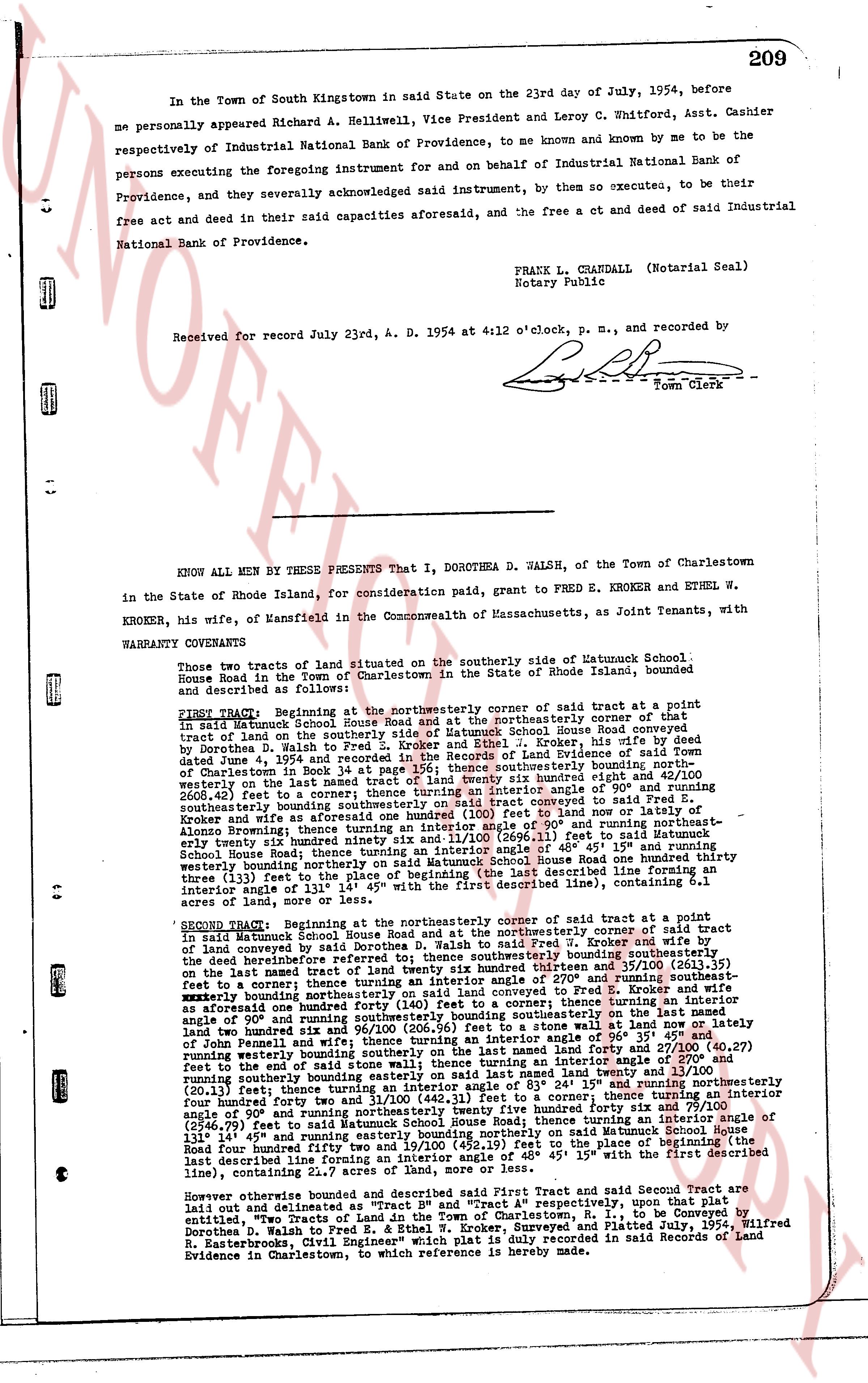
209
In the Town of South Kingstown in said State on the 23rd day of July, 1954, before me personally appeared Richard A. Helliwell, Vice President and Leroy C. Whitford, Asst. Cashier respectively of Industrial National Bank of Providence, to me known and known by me to be the persons executing the foregoing instrument in and on behalf of Industrial National Bank of Providence, and they severally acknowledged aforesaid instrument, by them so executee, to be their free act and deed in their said capacities aforesaid, and the free act and deed of said Industrial National Bank of Providence.
FRANK L. CHANDALL (Notarial Seal)
Notary Public
Received for record July 23rd, A. D. 1954 at 4:12 o'clock, p. m., and recorded by [Signature]
Town Clerk
----
KNOW ALL MEN BY THESE PRESENTS That I, DOROTHEA D. WALSH, of the Town of Charlestown in the State of Rhode Island, for consideration paid, grant to FRED E. KROKER and ETHEL W. KROKER, his wife, of Mansfield in the Commonwealth of Massachusetts, as Joint Tenants, with KROKER, his wife, of Mansfield in the Commonwealth of Massachusetts, as Joint Tenants, with
WARRANTY COVENANTS
Two few tracts of land situated on the southerly side of Matunuck School House Road in the Town of Charlestown in the State of Rhode Island, bounded and described as follows:
FIRST TRACT: Beginning at the Northeasterly corner of said tract at a point in said Matunuck School House Road and at the Northeasterly corner of that tract of land on the southerly side of Matunuck School House Road conveyed, this indenture by Dorothea D. Walsh to Fred E. Kroker and Ethel W. Kroker, this indenture dated June 4, 1954 and recorded in the Records of Land Evidence of said Town of Charlestown in book 34, page 191, said corner being a point of 90° and running southeasterly on the last named tract of land twenty six hundred eighty eight and 42/100 square inches [?] 2600.42 feet to a corner; thence turning an interior angle of 90° and running southwesterly on the last named tract of land twenty six hundred forty two and 87/100 (2642.87) feet to a corner conveyed said Fred E. Kroker and wife as aforesaid one hundred eighty five feet 46 pol and running northeasterly on the last named tract of land one hundred eighty five feet 46 pol and turning an interior angle of 90° and running northeastly six and 11/100 (2606.11) feet to said Road; thence running northeasterly along said Road one hundred thirty five feet 45" and turning an interior angle of 45° 15" and running northeasterly School House Road, thence turning an interior angle of 45° 15" and running northeasterly westerly bounding northerly on said Matunuck School House Road one hundred thirty three (133) feet to the last described line; thence turning an interior angle of 90° and running southeasterly bounding northerly on said Matunuck School House Road one hundred thirty one (131) feet 14" and running northwestly to said first (described line), containing 5.1 acres of land, more or less.
SECOND TRACT: Beginning at the northeasterly corner of said tract at a point in said Matunuck School House Road and at the northeasterly corner of said tract of land conveyed by said Dorothea D. Walsh to Fred E. Kroker and Ethel W. Kroker by the deed aforementioned referred to; thence southeasterly bounding southeasterly the deed aforementioned referred to; thence southeasterly bounding southeasterly the last named tract of land by ten thousand three hundred ninety-one and 37/100 (10391.37) feet to a corner; thence turning an interior angle of 270° and running southeasterly one hundred thirty five feet 45" and turning an interior angle of 90° and running easterly northeasterly bounding northerly on said land one hundred thirty five feet 45" and turning an interior angle of 90° and running southeasterly bounding southeasterly on the last named tract of land one hundred thirty five feet 45" and turning an interior angle of 90° and running easterly northeasterly bounding northerly on said land one hundred thirty five feet 45" and turning an interior angle of 90° and running southeasterly bounding southeasterly on said land at now or laterly a forested area one hundred thirty five feet 45" and turning an interior angle of 90° to a point of John Pennell and wife; thence turning an interior angle of 90° 35' and running southeasterly one hundred thirty five feet 45" and turning an interior angle of 271 and 00/100 (271.00) feet to the end of said stone wall; thence turning an interior angle of 270° and running southeasterly one hundred thirty five feet 45" and turning an interior angle of 90° (20.13) feet; thence turning an interior angle of 83° 24' 15" and running northeasterly one hundred forty two feet and turning an interior angle of 90° and running northeasterly one hundred forty two feet and turning an interior angle of 90° and running northeasterly one hundred forty two feet and turning an interior angle of 90° and running northeasterly two hundred fifty nine feet and 79/100 (259.79) feet and turning an interior angle of 90° and running northeasterly two hundred fifty nine feet and 79/100 (2546.79) feet to said Matunuck School House Road; thence running a line of 90° and running northeasterly bounding northerly on said Matunuck School House 131' 14" and running northwestly to the point beginning northerly on said Matunuck School House Road four hundred ninety two feet and 19/100 (492.19) feet to the place of beginning the last described line; thence turning an interior angle of 90° 15" with the first described line, containing 22.7 acres of land, more or less.
However otherwise bounded and described said First Tract and said Second Tract are laid out and estimated as a whole and 5.1 and 22.7 acres respectively, upon that plat entitled, "Two Tracts of Land in the Town of Charlestown, R. I., to be Conveyed by Dorothea D. Walsh to Fred E. Kroker and Ethel W. Kroker" dated June 4, 1954, Wilfred R. Easterbrook, "Civil Engineer" which plat is duly recorded in said Records of Land Evidence in Charlestown, to which reference is hereby made.
page 2 · read by Gemma vision
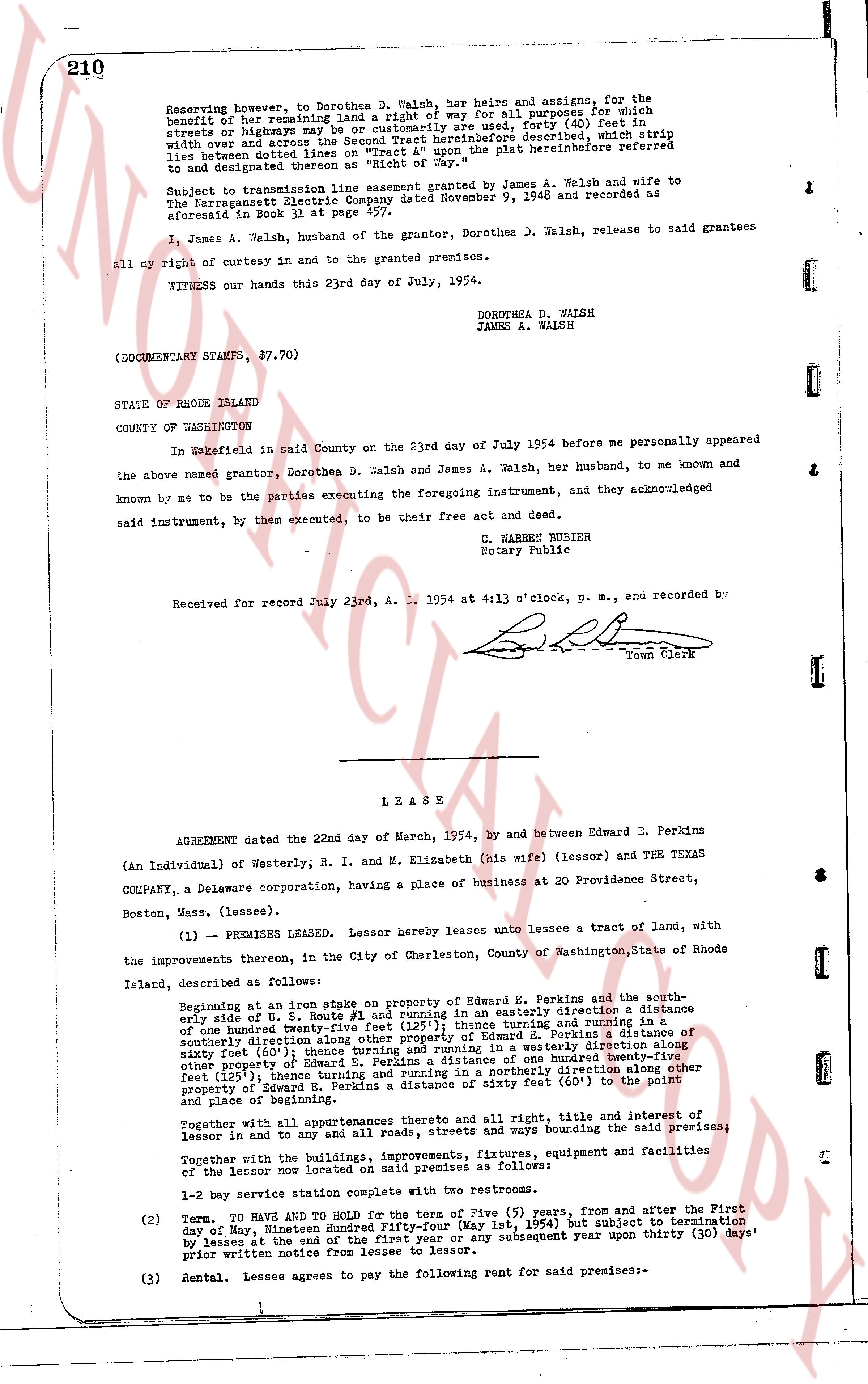
Reserving however, to Dorothea D. Walsh, her heirs and assigns, for the
benefit of our remaining land a right of way for all purposes for which
streets or highways may be or customarily are used, forty (40) feet in
width and over and across the Second Tract hereinbefore described, which strip
lies between duton line and the easterly line of the plat hereinbefore referred
to and designated thereon as "Right of Way."
Subject to transmission line easement granted by James A. Walsh and wife to
The Narragansett Electric Company dated November 9, 1948 and recorded as
aforesaid in Book 31, page 141.
I, James A. Walsh, husband of the grantor, Dorothea D. Walsh, release to said grantees
all my right of curtesy in and to the granted premises.
WITNESS our hands this 23rd day of July, 1954.
DOROTHEA D. WALSH
JAMES A. WALSH
(DOCUMENTARY STAMPS, $7.70)
STATE OF RHODE ISLAND
COUNTY OF WASHINGTON
In Wakefield in said County on the 23rd day of July 1954 before me personally appeared
the above named grantor, Dorothea D. Walsh and James A. Walsh, her husband, to me known and
known by me to be the parties executing the foregoing instrument, and they acknowledged
said instrument, by them executed, to be their free act and deed.
C. WARREN BURRIER
Notary Public
Received for record July 23rd A. . . 1954 at 4 13 o'clock, p. m., and recorded by
[signature]
Town Clerk
----
L E A S E
AGREEMENT dated the 22nd day of March, 1954, by and between Edward E. Perkins
(An Individual) of Westerly, R. I. and M. Elizabeth (his wife) (lessor) and THE TEXAS
COMPANY, a Delaware corporation, having a place of business at 20 Providence Street,
Boston, Mass. (lessee).
(1) -- PREMISES LEASED. Lessor hereby leases unto lessee a tract of land, with
the improvements thereon, in the City of Charlestown, County of Washington, State of Rhode
Island, described as follows:
Beginning at an iron stake on property of Edward E. Perkins and running in a southeas-
tly arc of a line 1.375 acres #1 and [?] running in an easterly direction a distance
of one hundred twenty five feet (125') thence running in a westerly direction in a
southeasterly direction along other property of Edward E. Perkins a distance of
sixty feet (60) thence running in a northerly direction in a westerly direction along
other property of Edward E. Perkins a distance of one hundred twenty eight feet
(128') thence running in a northeasterly direction along other property of Edward E.
Perkins a distance of sixty feet (60) to the point
and place of beginning.
Together with all appurtenances thereto and all right, title and interest of
lessor in and to any and all roads, streets and ways bounding the said premises;
Together with the buildings, improvements, fixtures, equipment and facilities of
the lessor now located on said premises as follows:
1-2 way service station complete with two restrooms.
(2) Term. TO HAVE AND TO HOLD for the term of Five (5) years, from and after the First
day of May, nineteen hundred and fifty four (May 1, 1954) but subject to termination
by lessee at the end of the first year or any subsequent year upon thirty (30) days'
prior written notice from lessee to lessor.
(3) Rental. Lessee agrees to pay the following payment for rent said premises:-
The page as recorded