The instrument's own words
page 1 · read by Gemma vision
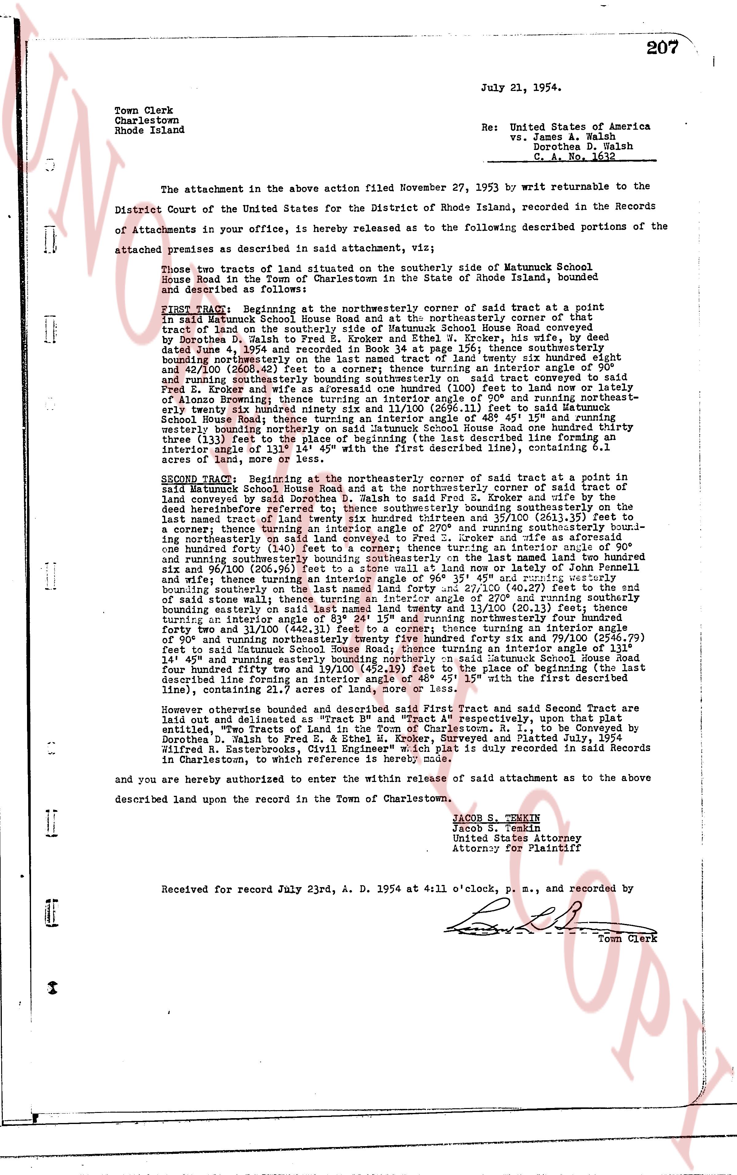
July 21, 1954. 207
Town Clerk
Charlestown
Rhode Island
Re: United States of America
vs. James A. Walsh
Dorothea D. Walsh
C. A. No. 1612
The attachment in the above action filed November 27, 1953 by writ returnable to the District Court of the United States for the District of Rhode Island, recorded to the following Records of Attachments in your office is, hereby released as to the following described portions of the attached premises as described in said attachment, viz:
Those two tracts of land situated on the southerly side of Matumuck School House Road in the Town of Charlestown in the State of Rhode Island, bounded and described as follows:
FIRST TRACT: Beginning at the northeasterly corner of said tract at a point in said Matumuck School House Road and again at the northeasterly corner of that tract of land on the southerly side of Matumuck School House Road conveyed from land belonging to Dorothea D. Walsh to Fred E. Kroker and Ethel M. Kroker, debenture holders, by deed dated June 1, 1950 and recorded in book 28, page 156; thence southerly thence southerly bounding northeasterly on the last named tract of land twenty six hundred eighty eight and 46/100 (2688.46) feet to a point forming an interior angle of 110° and thence running southeasterly bounding southeasterly on said tract conveyed to said Fred E. Kroker and Ethel M. Kroker by deed recorded in book 28, page 156 to land belonging to Alonzo Browning; thence turning an interior angle of 90° and running northeasterly twenty bounding northerly bounding northerly on said land 113.21 feet to said Matumuck School House Road; thence turning an interior angle of 40° 45' 15" and running northeasterly bounding northerly on said land to the center line of Matumuck School House Road thence turning an interior angle of 133° (feet) to the place of beginning (the last described line forming an interior angle of 133° 14' 45" with the first described line), containing 6.1 acres of land, more or less.
SECOND TRACT: Beginning at the northeasterly corner of said tract at a point in said Matumuck School House Road and again at the northeasterly corner of said tract of land conveyed by said Dorothea D. Walsh to Fred E. Kroker and wife by the deed hereinbefore referred to; thence southeasterly bounding southeasterly on the last named tract of land twenty six hundred eighty eight and 46/100 (2688.46) feet to a corner; thence turning an interior angle of 270° and running southeasterly boundi-ng northeasterly on said land twenty six hundred eighty eight and 46/100 (2688.46) feet to a corner; thence turning an interior angle of 140° (feet) to a corner; thence turning an interior angle of 90° and running southeasterly bounding southeasterly on said land to a stone wall and to land of John Fennell and sixty five hundred twenty four and 100/100 (6524.00) feet to a corner; 45° or thereabouts and running easterly bounding easterly on said stone wall to a stone wall and to land of John Fennell and sixty nine and 100/100 (69.00) feet to a stone wall and to land of John Fennell and twenty one and 100/100 (21.00) feet to a corner; thence turning an interior angle of 270° and running southerly bounding southerly on the last named land forty and 21/100 (40.21) feet to the end of said stone wall; thence turning an interior angle of 45° or thereabouts and running northeasterly bounding easterly on said last named land twenty and 13/100 (20.13) feet; thence turning an interior angle of 83° 24' 15" and running northeasterly to an interior angle of 90° and running northeasterly Twenty five hundred forty six and 79/100 (2546.79) feet to said Matumuck School House Road; thence turning an interior angle of 90° and running southeasterly bounding southeasterly on said land to the place of beginning (the last described line forming an interior angle of 40° 45' 15" with the first described line), containing 22.1 acres of land, more or less.
However otherwise bounded and described said First Tract and said Second Tract are laid out and delineated as "Tract B" and "Tract A" respectively, upon that plat updated "Plan of Tracts A and B" by Wilfred R. Easterbrooks, P. E., as surveyed and drawn by Dorothea D. Walsh to Fred E. & Ethel M. Kroker, Surveyed and Platted July, 1954 Wilfred R. Easterbrooks, Civil Engineer" which plat is duly recorded in said Records in Charlestown, to which plat reference is herein made.
and you are hereby authorized to enter within the release of said attachment as to the described land upon the record in the Town of Charlestown, above.
JACOB S. TENKIN
Jacob S. Tenkin
United States Attorney
Attorney for Plaintiff
Received for record July 23rd, A. D. 1954 at 4:11 o'clock, p. m., and recorded by [Signature]
Town Clerk
The page as recorded