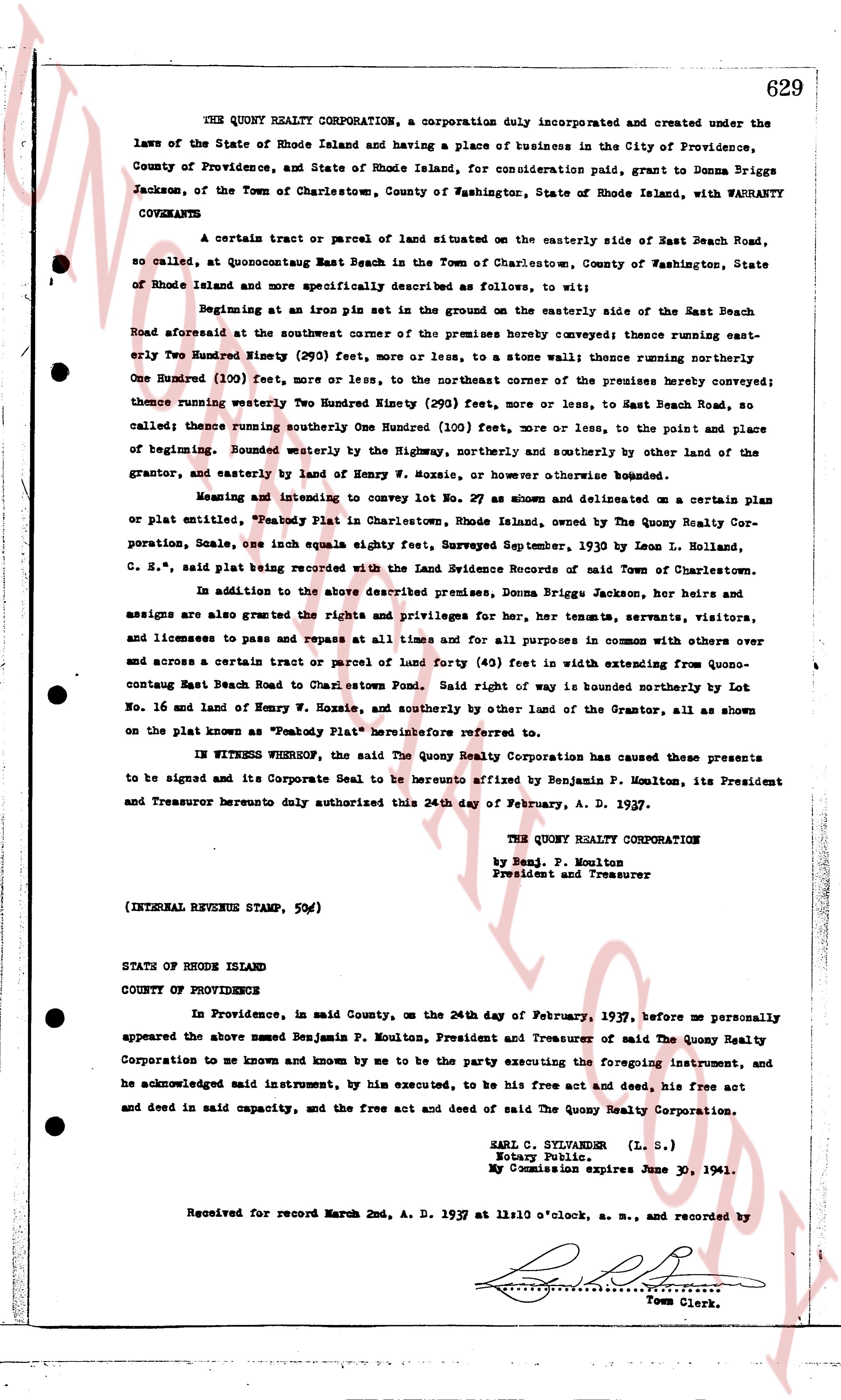
The instrument's own words
page 1 · read by Gemma vision
629
THE QUONY REALTY CORPORATION, a corporation duly incorporated and created under the
laws of the State of Rhode Island and having a place of business in the City of Providence,
County of Providence, and State of Rhode Island, for consideration paid, grant to Donna Briggs
Jackson, of the Town of Charlestown, County of Washington, State of Rhode Island, with WARRANTY
COVENANTS
A certain tract or parcel of land situated on the easterly side of East Beach Road,
so called, at Quonochontaug East Beach in the Town of Charlestown, County of Washington, State
of Rhode Island and more specifically described as follows, to wit:
Beginning at an iron pin set in the ground on the easterly side of the East Beach
Road aforesaid at the southwest corner of the premises hereby conveyed; thence running east-
erly Two Hundred Ninety (290) feet, more or less, to a stone wall; thence running northerly
One Hundred (100) feet, more or less, to the northeast corner of the premises hereby conveyed;
thence running westerly Two Hundred Ninety (290) feet, more or less, to East Beach Road, so
called; thence running southerly One Hundred (100) feet, more or less, to the point and place
of beginning. bounded westerly by the Highway, northerly and southerly by other land of the
grantor, and easterly by land of Henry W. Nozzoli, or otherwise however bounded described.
Meaning and intending to convey to lot No. 27 as shown and delineated on a certain plan
or plat, entitled "Peabody Plat in Charlestown, Rhode Island, owned by The Quony Realty Cor-
poration, Scale, one inch equals eighty feet, Surveyed September, 1930 by Leon L. Holland,
C. E.," said plat being recorded with the Land Evidence Records of said Town of Charlestown.
In addition to the above described premises, Donna Briggs Jackson, her heirs and
assigns are also granted the rights and privileges for her, her tenants, servants, visitors,
and licensees to pass and repass at all times and for all purposes in common with others over
and across a certain tract or parcel of land forty (40) feet in width extending from Quono-
contaug East Beach Road to Charlestown Road. said right of way is bounded northerly by Lot
No. 16 and land of Henry W. Nozzoli, and southerly by other land of the Grantor, as all shown
on the plat known as "Peabody Plat" hereinafter referred to.
IN WITNESS WHEREOF, the said The Quony Realty Corporation has caused these presents
to be signed and its Corporate Seal to be hereunto affixed by Benjamin P. Moulton, its President
and Treasurer hereunto hereby authorized this 24th day of February, A. D. 1937.
THE QUONY REALTY CORPORATION
By Benj. P. Moulton
President and Treasurer
(INTERNAL REVENUE STAMP, 50c)
STATE OF RHODE ISLAND
COUNTY OF PROVIDENCE
In Providence, in said County, on the 24th day of February, 1937, before me personally
appeared the above named Benjamin P. Moulton, President and Treasurer of said The Quony Realty
Corporation to me known and known by me to be the party executing the foregoing instrument, and
he acknowledged said instrument, by his executed, to be his free act and deed, his free act
and deed in said capacity, and the free act and deed of said The Quony Realty Corporation.
EARL C. SYLVANDER (L. S.)
Notary Public.
My Commission expires June 30, 1941.
Received for record March 2nd, A. D. 1937 at 11 o'clock, a. m., and recorded by
[Signature]
Town Clerk.
The page as recorded