The instrument's own words
page 1 · read by Gemma vision
190
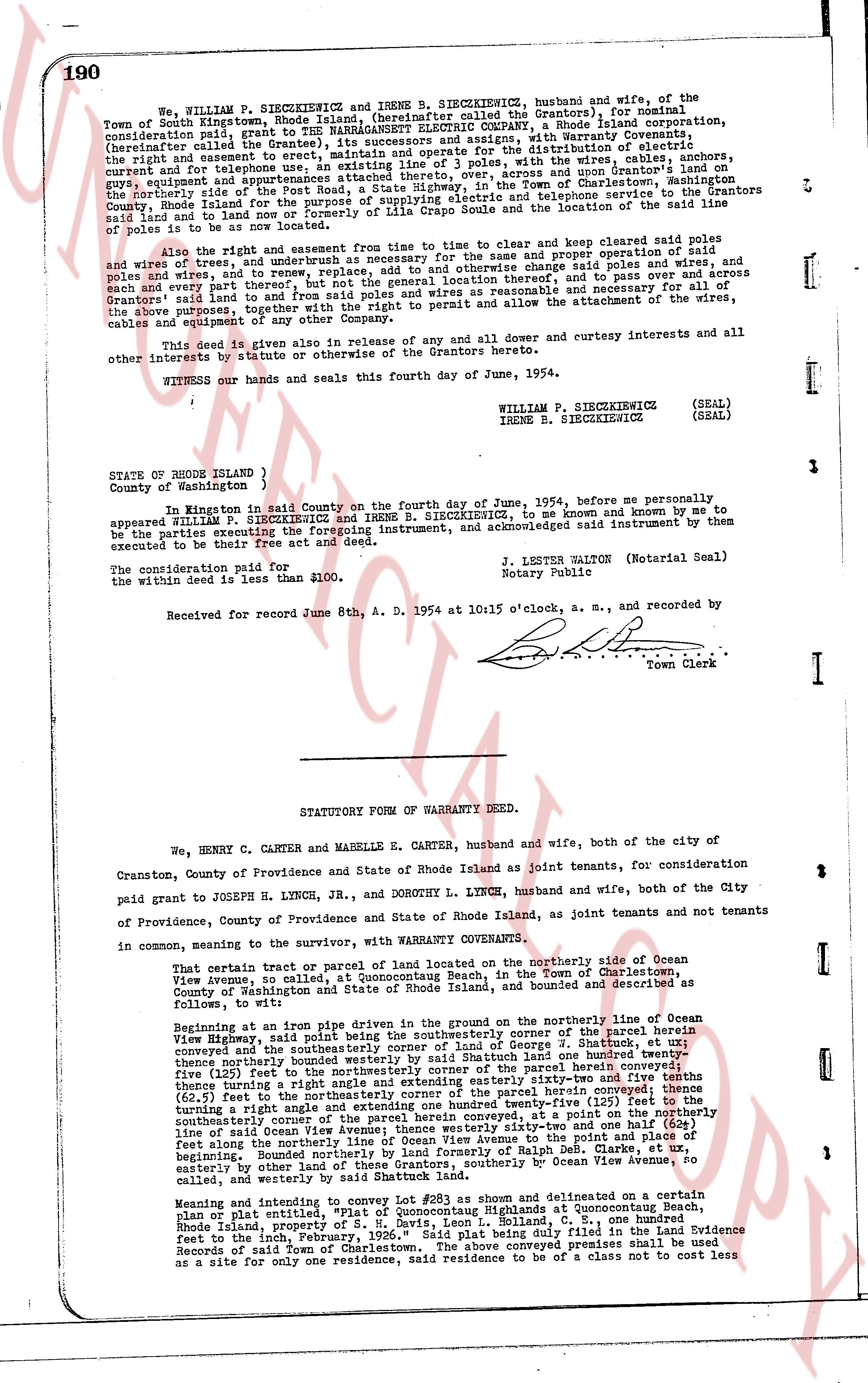
We, WILLIAM P. SIECZKIEWICZ and IRENE B. SIECZKIEWICZ, husband and wife, of the Town of South Kingstown, Rhode Island (hereinafter called the Grantors), for nominal consideration paid, grant to the NARRAGANSETT ELECTRIC COMPANY, a Rhode Island corporation, (hereinafter called the Grantee), its successors and assigns, with warranty conveyed, the right to construct an easement, 15 feet in width, for the purpose of distribution of electric current and for telephone use, an existing line of 3 poles, with the wires, cables and anchors, guy wires, equipment and appurtenances, located on the north side of the Grantors' land on the south side of the road known as Road, a State Highway, in the Town of Charlestown, assigning the right to add to land and to construct and maintain a telephone service line on the said County, Rhode Island for the purpose of supplying telephone service to the location of the said line and to construct and maintain such poles and other equipment as may be necessary and to locate the said line of poles is to be as now located.
Also the right and easement from time to time to clear and keep cleared said poles and wires and trim trees, brush, etc. as necessary for the same and proper operation of said poles and wires and, to trim, remove, replace, add to and otherwise change said poles and wires, anchors and poles and wires, and to remove, replace, add to and otherwise change said easement, and to pass over and across said Grantors' land to and from said poles and wires as reasonable and necessary for all of the above purposes, and the right of the Grantee to permit and allow the attachment of the wires, cables and equipment of any other company.
This deed is given in also release of any and all dower and curtesy interests and all other interests by statute or otherwise of the Grantors hereto.
WITNESS our hands and seals this fourth day of June, 1954.
(SEAL)
WILLIAM P. SIECZKIEWICZ
(SEAL)
IRENE B. SIECZKIEWICZ
STATE OF RHODE ISLAND
County of Washington )
In witness whereof in said County on the fourth day of June, 1954, before me personally appeared WILLIAM P. SIECZKIEWICZ and IRENE B. SIECZKIEWICZ, to me known and by me to be the parties executing the foregoing instrument, and acknowledged said instrument by them executed as their free act and deed.
J. LESTER WALTON (Notarial Seal)
Notary Public
The consideration paid for
the within deed is less than $100.
Received for record June 8th, A. D. 1954 at 10:15 o'clock, a. m., and recorded by
[Signature]
Town Clerk
----
STATUTORY FORM OF WARRANTY DEED.
We, HENRY C. CARTER and MABELLE E. CARTER, husband and wife, both of the city of Cranston, County of Providence and State of Rhode Island as joint tenants, for consideration paid grant to JOSEPH H. LYNCH, Jr., and DOROTHY L. LYNCH, husband and wife, both of the city of Providence, County of Providence and State of Rhode Island, as joint tenants and not tenants in common, meaning to the survivor, with WARRANTY COVENANTS,
That certain tract or parcel of land located on the northerly side of Ocean View Avenue, as so called, at Quonocutong Beach, in the Town of Charlestown, County of Washington and State of Rhode Island, and bounded as follows:
Following to wit:
Beginning at an iron pipe driven in the ground on the northerly line of the Ocean View Highway, said point being the north easterly corner of the parcel herein conveyed; thence following the northerly line of said corner of land of George W. Shat tuck, et ux running southeast the northerly line of said corner of land of George W. Shat tuck, et ux thence northerly bounded westerly by said Shat tuck an one hundred feet by bearing east (60.5) feet to the north easterly corner of the parcel herein conveyed; thence turning a right angle and extending easterly sixty-three feet sixty-six inches (63.5) feet to the north easterly corner of said parcel herein conveyed; thence turning a right angle and extending one hundred twenty-five feet (125) to the northerly southeasterly corner of Ocean View Avenue, to a point on the northerly southeasterly corner of Ocean View Avenue, thence westerly sixty-three and one half (63.5) feet along the northerly line of Ocean View Avenue to the north west corner of said parcel herein bounded. Northerly bounded by land of Ralph Deb, Clarke, et ux running easterly by other land to the north west corner, southerly by Ocean View Avenue, to called and westerly by said Shat tuck land.
Meaning and intending to convey Lot #23 as shown on a certain plat or plat entitled, "Plat of Quonocutong Highlands at Quonocutong Beach, Rhode Island, property of George W. Shat tuck, Colland, E. C., one hundred feet to the inch, February, 1926." Said plat being duly filed in the Land Evidence Records of said Town of Charlestown. The above conveyed premises shall be used as a site for only one residence, said residence to be of a class not not to cost less
page 2 · read by Gemma vision
191
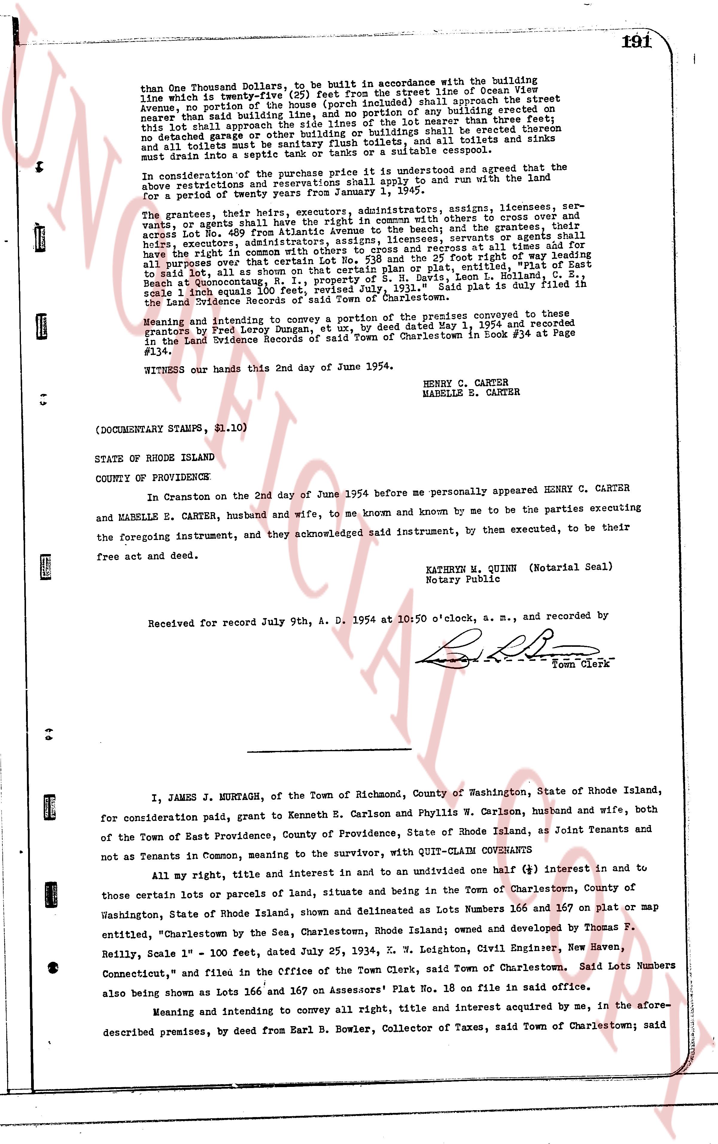
than One Thousand dollars, to be built in accordance with the building
line which is twenty-five (25) feet from the street line of Ocean View
avenue, no portion of the house (porch included) shall approach the street
nearer than said building line, and no portion of any building started or
erected shall approach the street line of the lot nearer than three feet;
this shall apply to all buildings on the lot; and that no toilets and sinks
not detached garage or other building or buildings shall be erected thereom
and all toilets must be connected to a septic tank, and all boilers and stoves
must drain into a septic tank or tanks or a suitable cesspool.
In consideration of the purchase price it is understood and agreed that the
above restrictions are and shall be and continue to be and run with the land
for a period of twenty years from January 1, 1954.
The grantors, their heirs, executors, administrators, assigns, licensees, ser-
vants, or agents shall have the right in common, with others, to cross and over
lots 400 to 410 (inclusive) and any other lots leading to the beach, and their
agents, or agents shall have the right to enter certain Lot No. 538 and the 25 foot Right of Way
attached thereto in common with others, and to use said records at all times all for
all purposes over that certain Lot No. 538 and the 25 foot Right of Way attached
thereto as it appears in common with others on said plat, entitled, "Plat of East
Beach at Quonochontaug, N. I., property of S. R. Davis, Leon I. Holland, C. S.,
scale 1 inch equals 100 feet", and to use said plat, Said plat is full and true in
the Land Evidence Records of said Town of Charlestown.
Meaning and intending to convey a portion of the premises conveyed to these
grantors by Fred Leroy Dungan, et ux, by deed dated May 1, 1954 and recorded
in the Land Evidence Records of said Town of Charlestown in Book #34 at Page
#134.
WITNESS our hands this 2nd day of June 1954.
HENRY C. CARTER
MABELLE E. CARTER
(DOCUMENTARY STAMPS, $1.10)
STATE OF RHODE ISLAND
COUNTY OF PROVIDENCE
In Cranston on the 2nd day of June 1954 before me personally appeared HENRY C. CARTER
and MABELLE E. CARTER, husband and wife, to me known and known by me to be the parties executing
the foregoing instrument, and they acknowledged said instrument, by then executed, to be their
free act and deed.
KATHRYN M. QUINN (Notarial Seal)
Notary Public
County Providence
Received for record July 9th, A. D. 1954 at 10:50 o'clock, a. m., and recorded by
[Signature]
Town Clerk
----
I, JAMES J. MURTAGH, of the Town of Richmond, County of Washington, State of Rhode Island,
for consideration paid, grant to Kenneth E. Carlson and Phyllis W. Carlson, husband and wife, both
of the Town of East Providence, County of Providence, State of Rhode Island, as Joint Tenants and
not as Tenants in Common, meaning to the survivor, with QUIT-CLAIM COVENANTS
All my right, title and interest in and to an undivided one half (1/2) interest in and to
those certain lots or parcels of land, situate and being in the Town of Charlestown, County of
Washington, State of Rhode Island, shown and delineated as Lots Numbers 166 and 167 on plat or map
entitled, "Charlestown by the Sea, Charlestown, Rhode Island owned and owned by Thomas P.
Reilly, Scale 1" - 100 feet, dated July 25, 1934, E. W. Leighton, Civil Engineer, New Haven,
Connecticut," and filed in the Office of the Town Clerk, said Town of Charlestown. Said Lots Numbers
also being shown as Lots 166 and 167 on Assessors' Plat No. 18 on file in said office.
Meaning and intending to convey all right, title and interest acquired by me, in the afore-
described premises, by deed from Earl B. Bowler, Collector of Taxes, said Town of Charlestown; said
The page as recorded