The instrument's own words
page 1 · read by Gemma vision
168
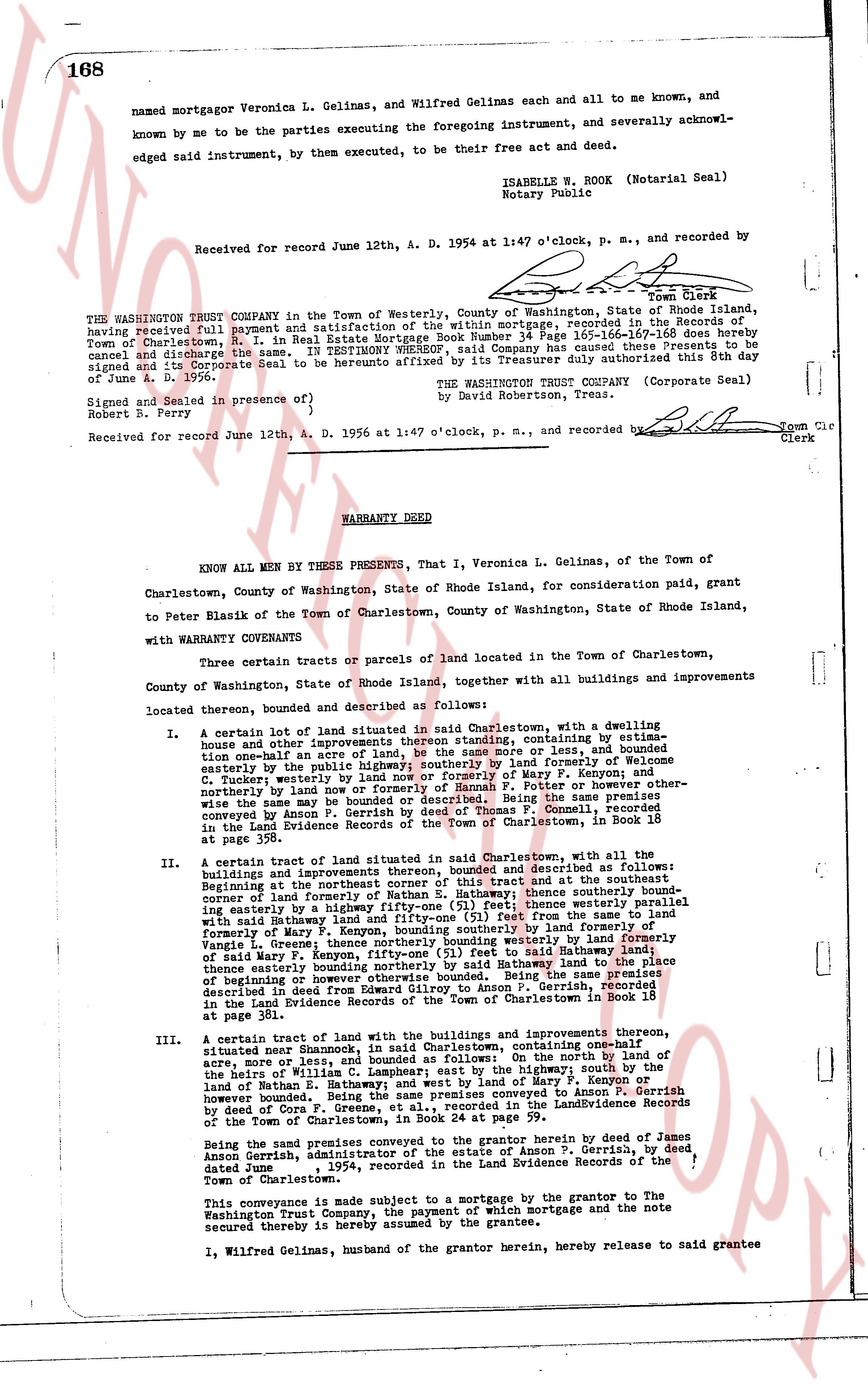
named mortgagor Veronica L. Gelinas, and Wilfred Gelinas each and all to me and known, and acknowledged by me to be the parties executing the foregoing instrument, and severally acknowledged signed said instrument, by them executed, to be their free act and deed.
ISABELLE W. ROOK (Notarial Seal)
Notary Public
Received for record June 12th, A. D. 1954 at 1:47 o'clock, p. m., and recorded by
[Signature]
Town Clerk
----
THE WASHINGTON TRUST COMPANY in the Town of Westerly, County of Washington, State of Rhode Island, having received full payment and satisfaction of the within mortgage, recorded in the Records of the Town of Charlestown, R. I. in Real Estate Mortgage Book Number 34 Page 165-166-167-168 does hereby cancel and discharge the same; TESTIMONY whereof the Company has caused its seal to be affixed and signed the Corporate Seal to be hereunto affixed by its Treasurer duly authorized this 8th day of June A. D. 1956.
THE WASHINGTON TRUST COMPANY (Corporate Seal)
by David Robertson, Treas. [Signature]
Signed and Sealed in presence of }
Robert S. Perry } [Signature] Town Clerk
Received for record June 12th, A. D. 1956 at 1:47 o'clock, p. m., and recorded by [Signature] Town Clerk
----
WARRANTY DEED
KNOW ALL MEN BY THESE PRESENTS, That I, Veronica L. Gelinas, of the Town of Charlestown, County of Washington, State of Rhode Island, for consideration paid, grant to Peter Blasik of the Town of Charlestown, County of Washington, State of Rhode Island, with WARRANTY COVENANTS
Certain three certain tracts or parcels of land located in the Town of Charlestown, County of Washington, State of Rhode Island together, with all buildings and improvements located thereon, bounded and described as follows:
A. Certain lot of land situated in said Charlestown, with a dwelling house and other improvements thereon standing, containing by estimate one-half acre or more, and bounded as follows: easterly by land formerly of Welcome C. Tucker westerly by land now or formerly of Mary F. Kenyon and northerly by land now or formerly of Mary F. Kenyon; southerly by land formerly of Peter and others otherwise the same way be bounded or described. Being the same premises conveyed by Amos L. Gelinas to himself and Ronald P. Connell, recorded in the Land Evidence Records of the Town of Charlestown, in Book 16 at page 392.
B. A certain tract of land situated in said Charlestown, with all the buildings and improvements thereon, bounded and described as follows: Beginning at the northeast corner of the first described lot and at the northeast corner of land formerly of Nathan E. Bathway; thence southerly bound-ing easterly by a highway fifty-one (51) feet; thence westerly bound-ing easterly by a highway fifty-one (51) feet; Thence true to the same line with said highway fifty-one (51) feet; Thence true to the same line of formerly of Mary F. Kenyon, bounding southerly by land formerly of Mary F. Kenyon; thence bounding southeasterly by land formerly of Mary F. Kenyon, fifty-one (51) feet to said highway land; Thence true to the same line with said highway land fifty-one (51) feet to the point of beginning or however otherwise bounded. Being the same premises described in deed from Edward A. Gelinas to Jason P. Gerrish, recorded in the Land Evidence Records of the Town of Charlestown in Book 18 at page 386.
C. A certain tract of land with the buildings and improvements thereon, situated near Shannon, in said Charlestown, containing one-half acre, more or less, and bounded as follows: on the south by land of the heirs of William C. L. Campsear; east by the highway; south by the land of Nathan E. Bathway; and west by land of Mary F. Kenyon or however bounded. Being the same premises conveyed by Jason P. Gerrish by deed of Cors F. Greene, et al., recorded in the Land Evidence Records of the Town of Charlestown, in Book 18 at page 386.
Being the same premises conveyed to the grantor herein by deed of James Anson Gerrish, Administrator of the estate of Anson P. Gerrish, by deed dated June [?], 1954, recorded in the Land Evidence Records of the Town of Charlestown.
This conveyance is made subject to a mortgage by the grantor to The Washington Trust Company, the payment of which mortgage and the note secured thereby is hereby assumed by the grantee.
I, Wilfred Gelinas, husband of the grantor herein, hereby release to said grantee
page 2 · read by Gemma vision
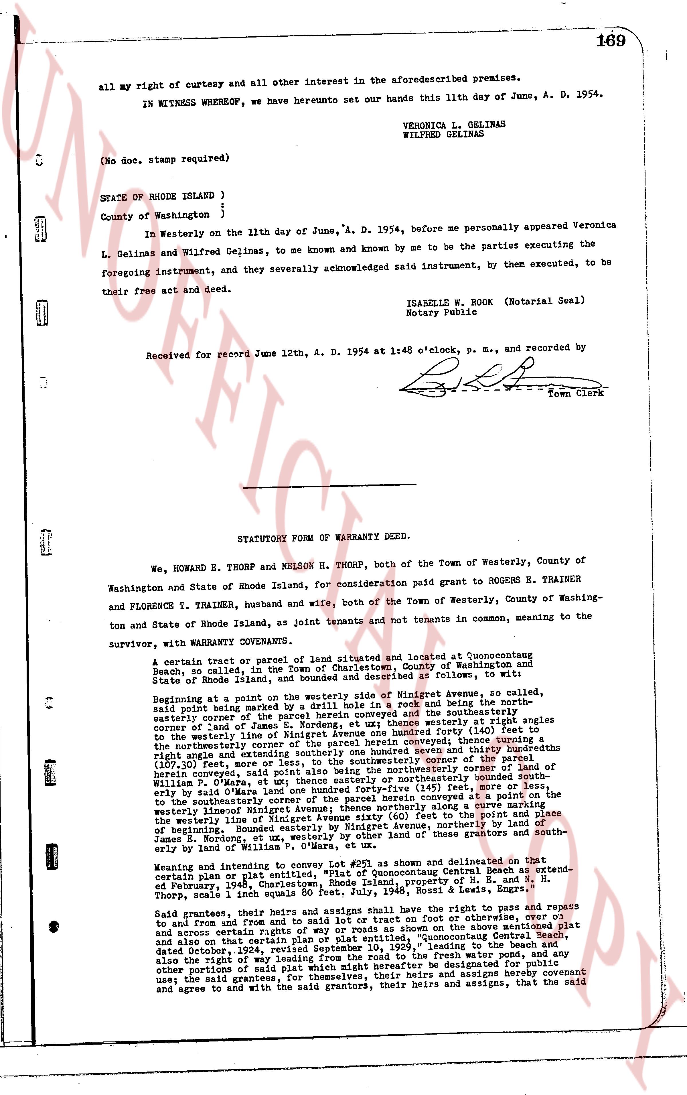
all my right of curtesy and all other interest in the aforesaiddescribed premises.
IN WITNESS WHEREOF, we have hereunto set our hands this 11th day of June, A. D. 1954.
VERONICA L. GELINAS
WILFRED GELINAS
(No doc. stamp required)
STATE OF RHODE ISLAND }
}
County of Washington }
In Westerly on the 11th day of June, "A. D. 1954, before me personally appeared Veronica L. Gelinas and Wilfred Gelinas, to me known and known by me to be the parties executing the foregoing instrument, and they severally acknowledged said instrument, by them executed, to be their free act and deed.
ISABELLE W. BOOK (Notarial Seal)
Notary Public
Received for record June 12th, A. D. 1954 at 1:48 o'clock, p. m., and recorded by
[Signature]
Town Clerk
----
STATUTORY TOWN OF WARRANTY DEED.
We, HOWARD E. THORP and NELSON H. THORP, both of the Town of Westerly, County of Washington and State of Rhode Island, for consideration paid grant to ROGERS E. TRAINER and FLORENCE T. TRAINER, husband and wife, both of the Town of Westerly, County of Washington and State of Rhode Island, as joint tenants and not tenants in common, meaning to the survivor, with WARRANTY COVENANTS.
A certain tract or parcel of land situated and located at Quonsetconquut Beach, so called, in the Town of Charlestown, County of Washington and State of Rhode Island, lands and premises described as follows: to wit:
Beginning at a point on the westerly side of an existing road in Ninigret Avenue, so called, said point being marked by a drill hole in a rock and being the north easterly corner of the parcel of land conveyed, et ux there westerly at right angles to the westerly line of Ninigret Avenue one hundred forty feet (140) feet to the northeasterly corner of the parcel of land conveyed; then turning a right angle and extending southerly one hundred sevenen and thirty one hundredths (107.31) feet over a line marked by a drill hole in a rock at the southerly corner of the parcel herein conveyed, said point also being the northeasterly corner of the land of William G. Sayer, et ux there southeasterly one hundred forty-five (145) feet, more or less to the southeasterly corner of the parcel of land conveyed in a deed to the westerly line of Ninigret Avenue; thence northerly along a curve marking the westerly line of said Avenue, from said point to the point of beginning; thence easterly bounded by Ninigret Avenue, northerly by the land of James E. Nordrung, et ux westerly, by the other lands of these grantors and southerly by the land of William G. Sayer.
Meaning and intending to convey Lot #25 as shown and delineated on a certain map of the area entitled, "Plat of Quonsetconquut Beach centered at extending south, Parcel 14, Sheet 1, recorded, property of E. H. and N. H. Thorp, scale 1 inch equals 80 feet, July, 1948, Rossi & Lewis, Engrs."
Said grantees, their heirs and assigns shall have the right to pass, and repair to and from the road and beach on foot or on other vehicles, over and across certain rights of way or roads as shown on the above mentioned plat and also on the existing plat entitled, "Quonsetconquut Beach centered at extending south, dated December, 1924, resubmitted September 10, 1929," leading to the beach and also the right of way leading from the beach to the front wall protecting the way; any other portion of said right of way hereafter be designated for public use; the said grantees, for themselves, their heirs and assigns hereby covenant and agree to and with the said grantors, their heirs and assigns, that the said
The page as recorded