The instrument's own words
page 1 · read by Gemma vision
155
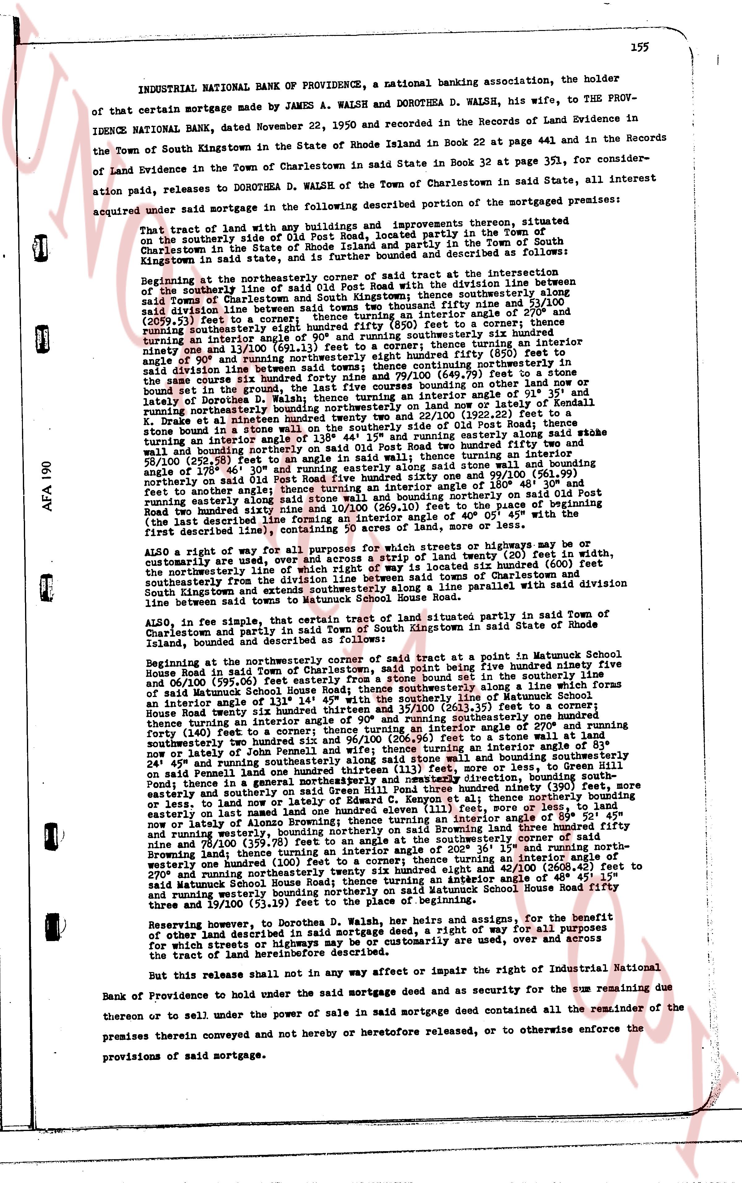
INDUSTRIAL NATIONAL BANK OF PROVIDENCE, a national banking association, the holder of that certain mortgage made by JAMES A. WALSH and DOROTHEA D. WALSH, his wife, to the PROVIDENCE NATIONAL BANK, dated November 22, 1950 and recorded in the Records of Land Evidence in the Town of South Kingstown in the state of Rhode Island in Book 22 at page 441 and in the Records of Land Evidence in the Town of Charlestown in said State in Book 32 at page 351, for consideration paid, releases to DOROTHEA D. WALSH of the Town of Charlestown in said State, all interest acquired under said mortgage in the following described portion of the mortgaged premises:
That tract of land with any buildings and improvements thereon, situated on the southerly side of Old Post Road, located partly in the Town of Charlestown in the state of Rhode Island and partly in the Town of South Kingstown in said state, and is further bounded and described as follows:
Beginning at the northeasterly corner of said tract at the intersection of the southeasterly line of said Old Post Road with the division line between said Town of Charlestown and the Town of South Kingstown thence southerly along said division line said between two towns south easterly two thousand fifty and nine 110/100 (2059.11) feet to a stone wall thence south easterly an interior angle of 270° and running south easterly eight hundred fifty eight (858) feet to a corner thence turning an interior angle of 90° and running south westerly six hundred seventy six and one 10/100 (676.11) feet to a corner; thence turning an interior angle of 90° and running northerly eight hundred fifty eight (858) feet to a corner; thence continuing northerly in the same course six hundred eighty four (684) feet to a corner; thence turning an interior angle of 45° and lately of Dorothea D. Walsh; thence turning an interior angle of 45° on land now or lately of Kendall d Knee; d kratee at an interior angle hundred twenty two and 22/100 (122.22) feet to a stone bound on the ground; thence turning an interior angle of 44° 15' and running easterly along said stake wall bound on the ground; thence turning an interior angle of 135° and running east north easterly two hundred fifty two and 58/100 (252.58) feet to an angle in said wall; thence turning an interior angle of 290° and running north easterly along said stone wall and running north easterly eight hundred fifty nine and 1/100 (859.11) feet to a corner; thence turning an interior angle along said stone wall and bounding northerly on said Old Post Road two hundred thirty nine feet, to the place of beginning; containing 50 acres of land, more or less.
ALSO a right of way for all purposes for which streets or highways may be or customarily are used on a strip of land twenty (20) feet in width, customarily used one under which right of way is located 2100 feet along the southeasterly line of Old Post Road, being the division line between the Towns of Charlestown and South Kingstown and extends southeasterly along a line parallel to said division line between said two towns for 858 feet.
ALSO, in fee simple, the certain tract of land situated partly in said Town of Charlestown and partly in said Town of South Kingstown in said State of Rhode Island, bounded and described as follows:
Beginning at the northeasterly corner of said tract at a point in Matunuck School House road in said town of Charlestown, said point being five hundred ninety nine feet and 06/100 (599.06) feet easterly from said road; thence southerly along a line which forms an interior angle of 131° 44' with the southeasterly line of Matunuck School House Road twenty seven hundred sixty one and 96/100 (2761.96) feet to a corner; thence turning an interior angle of 90° and running southeasterly one hundred ninety one feet; thence turning an interior angle of 270° and running south westerly two hundred fifty two and 58/100 (252.58) feet to a stone wall and running south westerly two hundred ninety six and 96/100 (296.96) feet to a stone wall at an interior angle of 83° and running south westerly two hundred forty one feet; thence turning an interior angle of 89° 52' 45" and running southerly along said stone wall and bounding south easterly on said Penmill land one hundred fifty feet, more or less; thence turning an interior angle of 135° and running south easterly along a general north westerly and north easterly direction, bounding south easterly on land now or lately of Edward C. Kenyon; at an interior angle thirty one and 10/100 (31.10) feet to a corner; thence turning an interior angle of 89° 52' 45" and running easterly on land now or lately of Alanson G. Kenyon one hundred and one feet and running easterly on land now or lately of Alanson G. Kenyon turning an interior angle of 89° 52' 45" and running westerly, bounding northerly on said Browning land, and thence turning an interior angle of 200° 36' 19" and running north westerly one hundred fifty feet to the north westerly corner of said Browning land; thence turning an interior angle of 200° 36' 19" and running north westerly one hundred twenty two and 22/100 (122.22) feet running an interior angle of 270° and running north easterly two hundred sixty eight and 42/100 (268.42) feet to said Matunuck School House Road; thence turning an interior angle of 135° and running westerly one hundred ninety eight feet bounding northerly on said Matunuck School House Road fifty nine and 19/100 (59.19) feet to the place of beginning.
Reserving, however, to the Grantor, his heirs, assigns and assigns, for the benefit of other parties mortgaged in said mortgage deed, a right of way for all purposes for which streets or highways may be or customarily are used, over and across the tract herein conveyed.
But this release shall not in any way affect or impair the right of Industrial National Bank of Providence to hold under the said mortgage deed and as security for the sum remaining due or thereon to be sold under the power of sale in said mortgage deed contained all the remainder of the premises therein conveyed and not hereby and heretofore released, or to otherwise enforce the provisions of said mortgage.
page 2 · read by Gemma vision
156
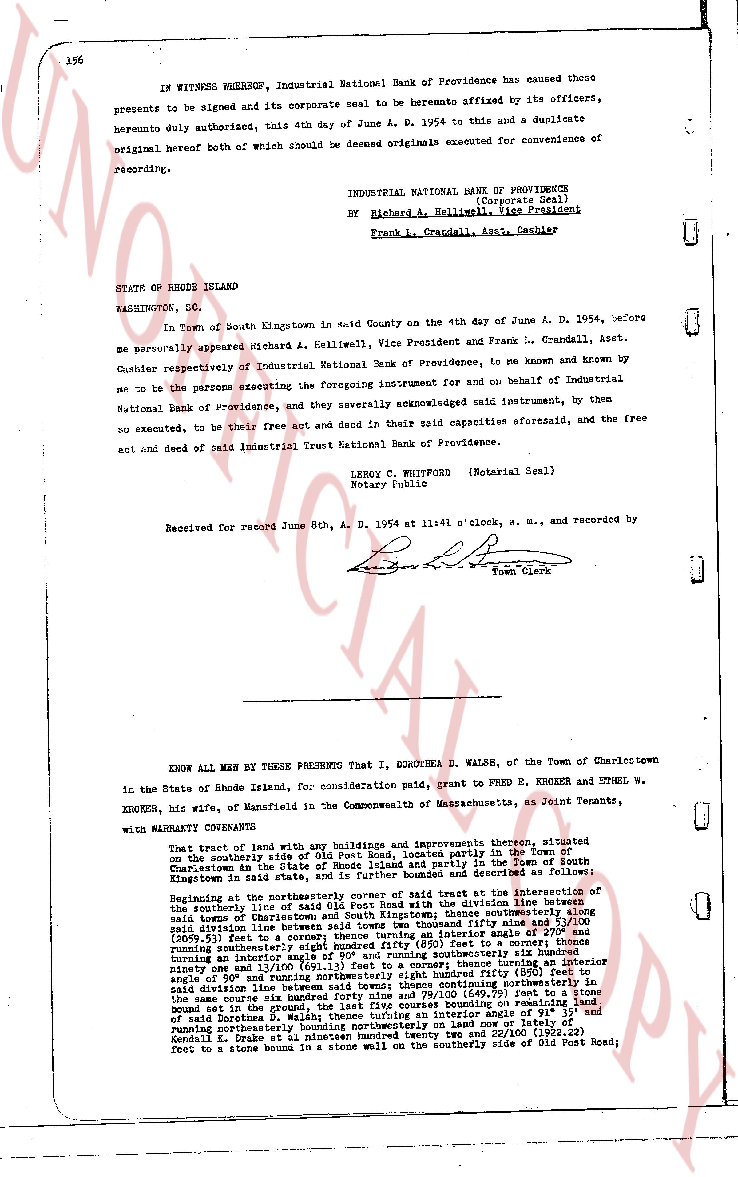
IN WITNESS WHEREOF, Industrial National Bank of Providence has caused these presents to be signed and its corporate seal to be hereunto affixed by its officers, hereunto duly authorized, this 4th day of June A. D. 1954 to this and a duplicate original hereof both of which should be deemed originals executed for convenience of recording.
INDUSTRIAL NATIONAL BANK OF PROVIDENCE
(Corporate Seal)
By Richard A. Helliwell, Vice President
Frank L. Crandall, Asst. Cashier
STATE OF RHODE ISLAND
WASHINGTON, SC.
In Town of South Kingstown in said County on the 4th day of June A. D. 1954, before me personally appeared Richard A. Helliwell, Vice President and Frank L. Crandall, Asst. Cashier respectively of Industrial National Bank of Providence, to me known and known by me to be the persons executing the foregoing instrument for and on behalf of Industrial National Bank of Providence, and they severally acknowledged said instrument, by them so executed, to be their free act and deed in their said capacities aforesaid, and the free act and deed of said Industrial Trust National Bank of Providence.
LEROY C. WHITFORD (Notarial Seal)
Notary Public
Received for record June 8th, A. D. 1954 at 11:41 o'clock, a. m., and recorded by
[Signature]
Town Clerk
----
KNOW ALL MEN BY THESE PRESENTS That I, DOROTHEA D. WALSH, of the Town of Charlestown in the State of Rhode Island, for consideration paid, grant to FRED E. KROEKER and ETHEL W. KROEKER, his wife, of Mansfield in the Commonwealth of Massachusetts, as Joint Tenants, with WARRANTY COVENANTS:
That tract of land and with any buildings and improvements thereon forever, situated on the southerly side of Old Post Road, located partly in the Town of South Kingstown in said State and partly in the Town of South Kingstown in said State and further bounded and described as follows:
Beginning at the northeasterly corner of said street at the intersection of the southerly line of said Old Post Road with the division line between said Town of Charlestown and the Town of South Kingstown thence southerly along said division line between said towns to two thousand fifty nine and 51/100 (2059.51) feet to a corner thence southeasterly (interior angle 115° 30') to a corner running southeasterly one thousand eight hundred fifty (850) feet to a corner; thence turning an interior angle of 90° and running northeasterly six hundred ninety one and 11/100 (691.11) feet to a corner; thence turning an interior angle ninety one and 8/100° and running northeasterly eight hundred fifty (850) feet along said division line between said towns; thence continuing northerly in the same course six hundred forty nine and 79/100 (649.79) feet to a stone bound set in the ground; thence turning an interior angle of 90° and running east of said Dorothea D. Walsh; thence turning an interior angle of 91° 35' and running northeasterly one thousand eight hundred fifty (1850) feet to a lot of Leonard C. Drake at nineteen hundred twenty two and 22/100 (1922.22) feet to a stone bound in a stone wall on the southerly side of Old Post Road;
The page as recorded