The instrument's own words
page 1 · read by Gemma vision
99
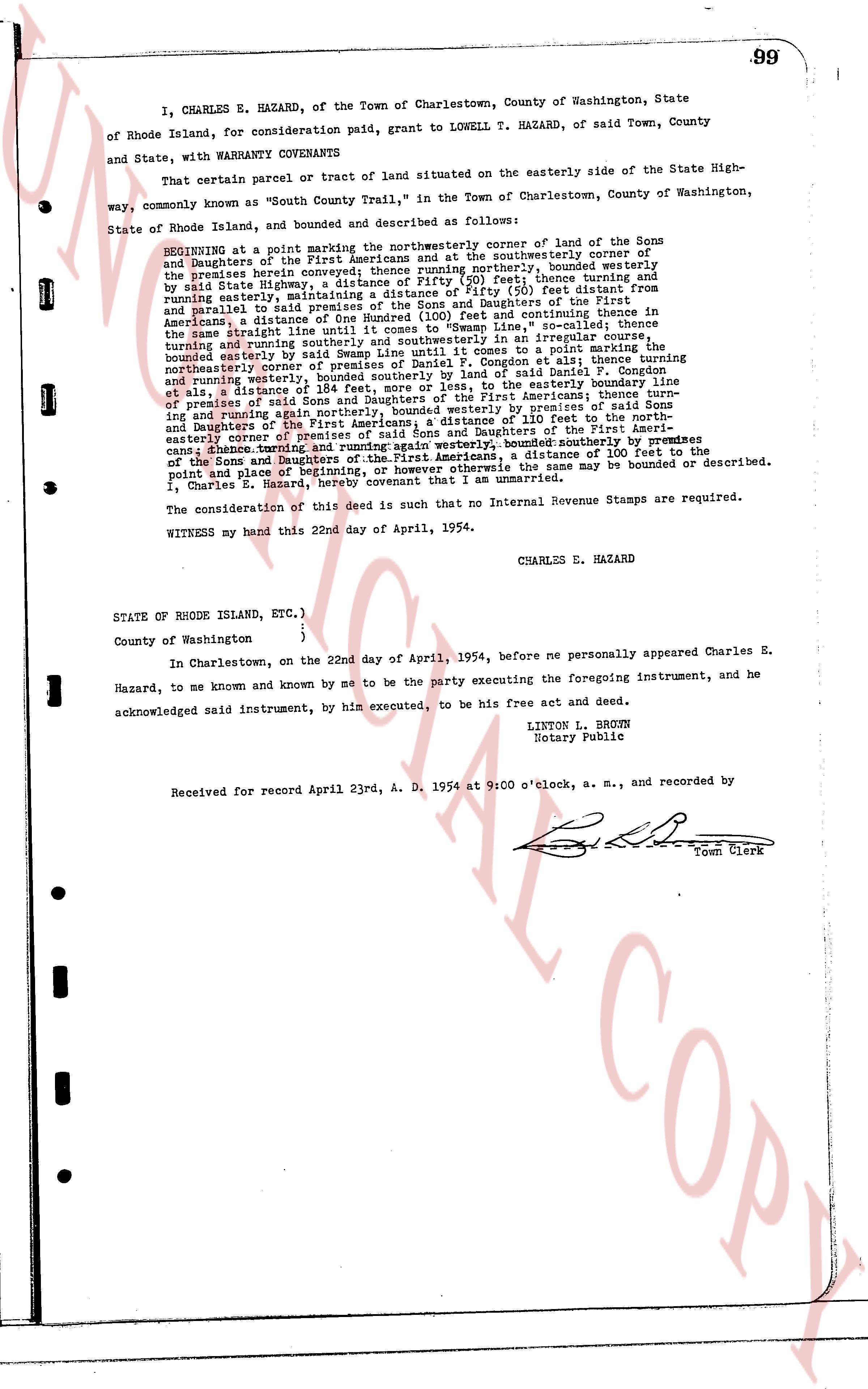
I, CHARLES E. HAZARD, of the Town of Charlestown, County of Washington, State
of Rhode Island, for consideration paid, grant to LOWELL T. HAZARD, of said Town, County
and State, with WARRANTY COVENANTS
That certain parcel or tract of land situated on the easterly side of the State High-
way, commonly known as "South County Trail," in the Town of Charlestown, County of Washington,
State of Rhode Island, and bounded and described as follows:
BEGINNING at a point marking the northwesterly corner of land of the Sons
and Daughters of the First Americans and at the southwesterly corner of
the premises herein conveyed thence running northerly, bounded westerly
by said State highway, a distance of 500 feet; thence turning and
running easterly, maintaining a distance of fifty (50) feet distant from
and parallel with said State highway, to the land of the Sons and Daughters of the First
Americans, a distance of One Hundred (100) feet and continuing thence in
the same direction to the easterly town line, s'outheasterly thence turning
and running southerly and southeasterly in an irregular course, bounded
and running westerly, a distance of 150 feet, thence to a point marking the
northeasterly corner of premises of Daniel P. Congdon et als; thence turning
and running southerly, a distance of 184 feet, to said land of L. Congdon,
et als; thence a distance of 184 feet, more or less, to the easterly boundary line
of premises of said Sons and Daughters of the First Americans; thence running
and running again northerly, bounded westerly by premises of said Sons
and Daughters of the First Americans; a distance of 100 feet to the north-
easterly corner of premises of said Sons and Daughters of the First Amer-
icans; thence turning and running again westerly, bounded southerly by premises
of the Sons and Daughters of the First Americans, a distance of 100 feet to the
point and place of beginning, or however otherwise the same may be bounded or described.
I, Charles E. Hazard, hereby covenant that I am the sole owner.
The consideration of this deed is such that no Internal Revenue Stamps are required.
WITNESS my hand this 22nd day of April, 1954.
CHARLES E. HAZARD
STATE OF RHODE ISLAND, ETC.)
)
)
County of Washington
)
In Charlestown, on the 22nd day of April, 1954, before me personally appeared Charles E.
Hazard, to me known and known by me to be the party executing the foregoing instrument, and he
acknowledged said instrument, by his executed, to be his free act and deed.
LINTON L. BROWN
Notary Public
Received for record April 23rd, A. D. 1954 at 9:00 o'clock, a. m., and recorded by
[Signature]
Town Clerk
The page as recorded