The instrument's own words
page 1 · read by Gemma vision
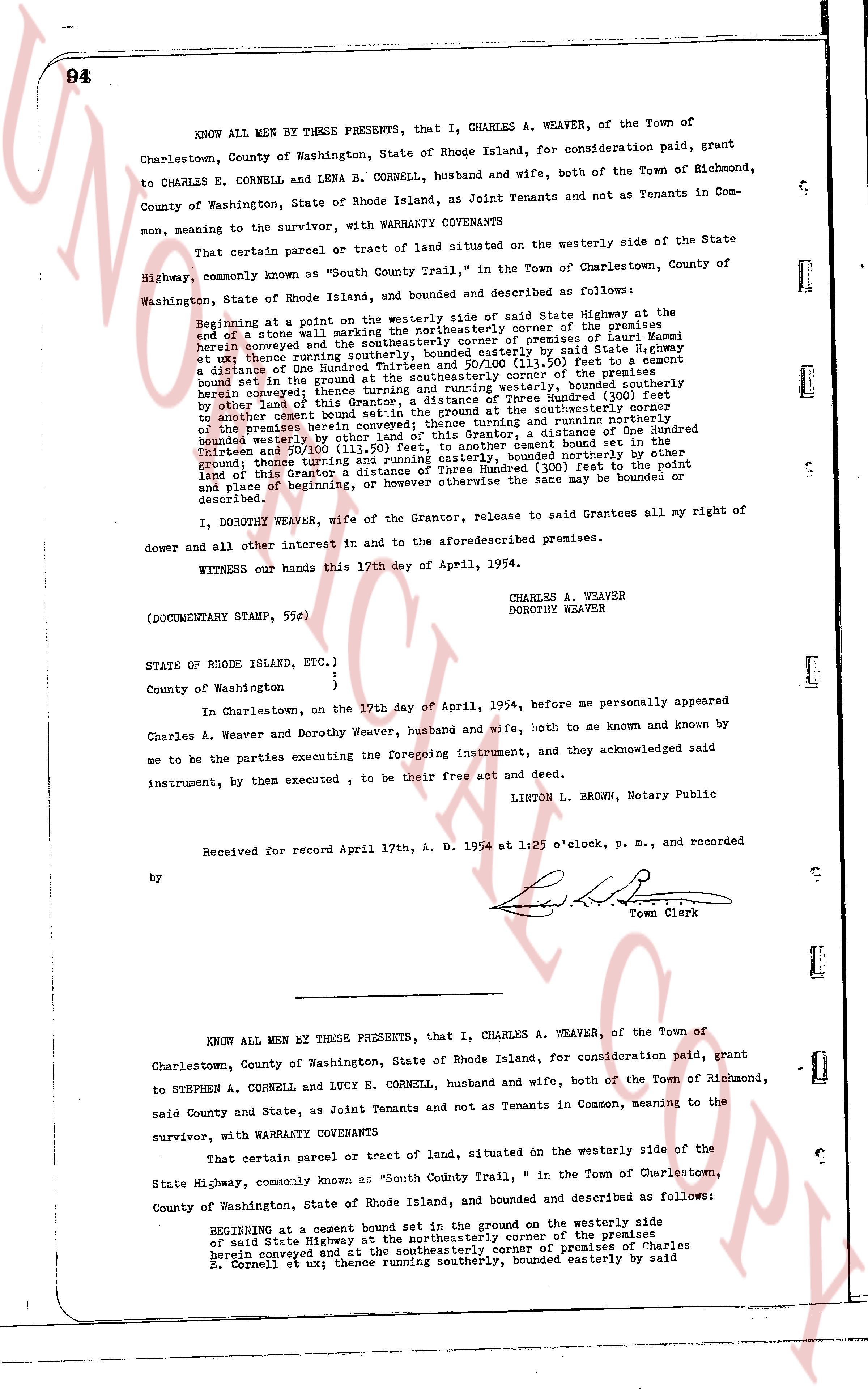
94
KNOW ALL MEN BY THESE PRESENTS, that I, CHARLES A. WEAVER, of the Town of Charlestown, County of Washington, State of Rhode Island, for consideration paid, grant to CHARLES E. CORNELL and LENA B. CORNELL, husband and wife, both of the Town of Richmond, County of Washington, State of Rhode Island, as Joint Tenants and not as Tenants in Common, meaning to the survivor, with WARRANTY COVENANTS
That certain parcel or tract of land situated on the westerly side of the State Highway, commonly known as "South County Trail," in the Town of Charlestown, County of Washington, State of Rhode Island, and bounded and described as follows:
Beginning at a point on the westerly side or said State Highway at the end of a stone wall which is the northeasterly corner of the premises herein conveyed and the southeasterly corner of premises of Louis [?] bounded et seq; thence running southerly [?] distance of One Hundred Thirty and 10/100 (110.50) feet to a cement bound set in the ground; thence turning easterly, said boundary corner of premises herein conveyed; thence southerly [?] running westerly, bounded southerly bound set in the ground; thence turning northerly a distance of One Hundred Thirty and 50/100 (130.50) feet, to another cement bound set in the ground; thence turning westerly a distance of One Hundred Thirty and 50/100 (130.50) feet, to the beginning, bounded northerly on this other land of this Grantor, a distance of Three Hundred (300) feet to the point and place of beginning, or however otherwise the same may be bounded or described.
I, DOROTHY WEAVER, wife of the Grantor, release to said Grantees all my right of dower and all other interest in and to the aforesaid described premises.
WITNESS our hands this 17th day of April, 1954.
CHARLES A. WEAVER
DOROTHY WEAVER
(DOCUMENTARY STAMP, 55c)
STATE OF RHODE ISLAND, ETC.,)
County of Washington )
In Charlestown, on the 17th day of April, 1954, before me personally appeared Charles A. Weaver and Dorothy Weaver, husband and wife, both to me known and known by me to be the parties executing the foregoing instrument, and they acknowledged said instrument, by them executed, to be their free act and deed.
LINTON L. BROWN, Notary Public
Received for record April 17th, A. D. 1954 at 1:25 o'clock, p. m., and recorded
by [Signature]
Town Clerk
----
KNOW ALL MEN BY THESE PRESENTS, that I, CHARLES A. WEAVER, of the Town of Charlestown, County of Washington, State of Rhode Island, for consideration paid, grant to STEPHEN A. CORNELL and LUCY E. CORNELL, husband and wife, both of the Town of Richmond, said County and State, as Joint Tenants and not as Tenants in Common, meaning to the survivor, with WARRANTY COVENANTS
That certain parcel or tract of land, situated on the westerly side of the State Highway, commonly known as "South County Trail," in the Town of Charlestown, County of Washington, State of Rhode Island, and bounded and described as follows:
BEGINNING at a cement bound set in the ground on the westerly side of said State Highway at the northeasterly corner of the premises herein conveyed and at the northeasterly corner of premises of Charles E. Cornell et ux; thence running southerly, bounded easterly by said
page 2 · read by Gemma vision
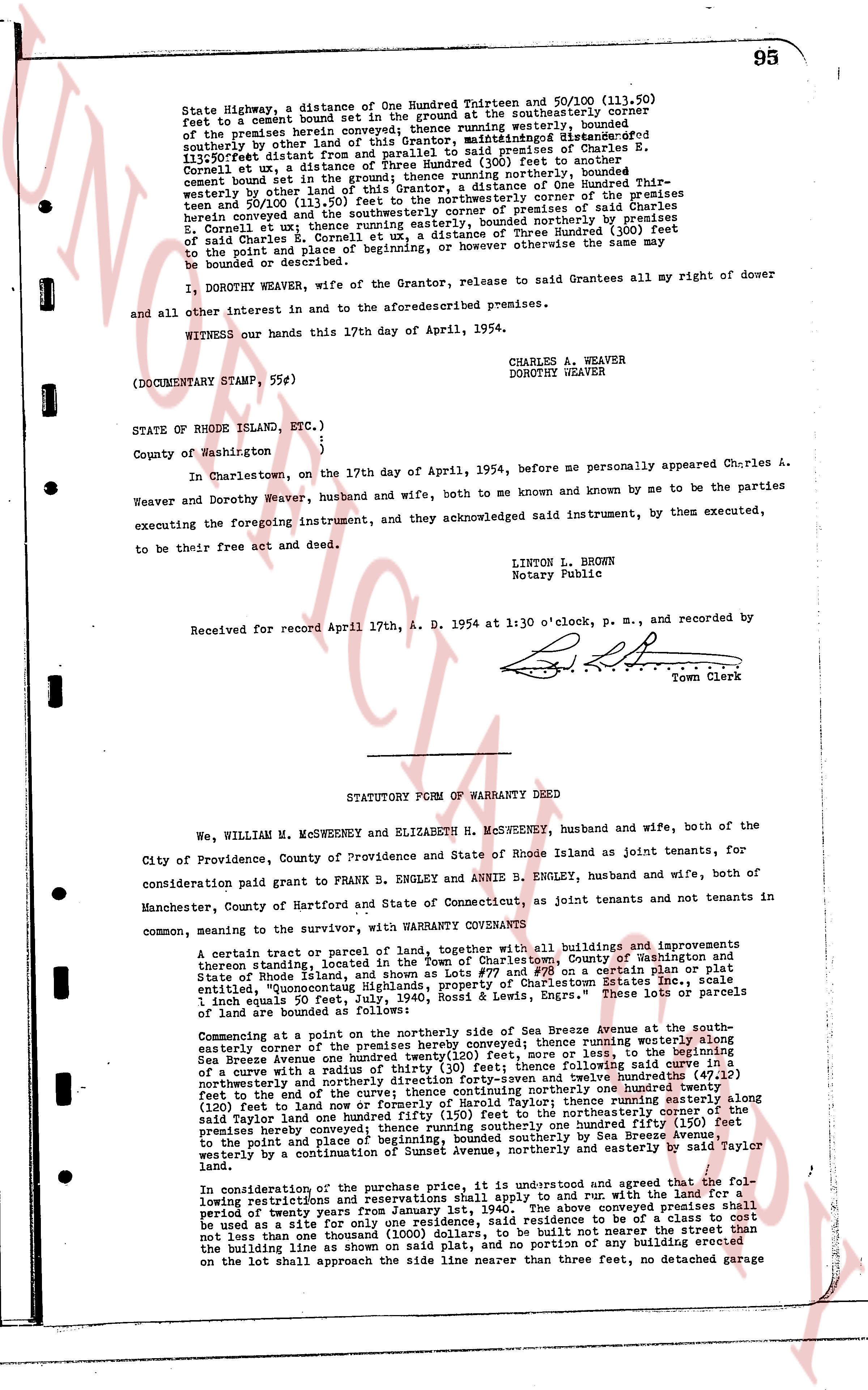
State Highway, a distance of One Hundred Eighteen and 50/100 (118.50)
feet to a cement Bound set in the ground at the southeasterly corner
of the premises herein conveyed; thence running westerly, bounded
southerly by other land of this Grantor, and northwardly [?] bounded
southeasterly distant from and parallel to said premises of Charles E.
Cornell et ux, a distance of Three Hundred (300) feet to another
cement bound set in the ground; thence running northerly, bounded
westerly by other land of this Grantor, a distance of One Hundred thirty-
three and 50/100 (133.50) feet to the northeasterly corner of the premises
herein conveyed and to the southeasterly corner of premises of said
Charles E. Cornell et ux; thence running easterly, bounded northerly by premises
of said Charles E. Cornell et ux, a distance of Three Hundred (300) feet
to the point and place of beginning, or however otherwise the same may
be bounded or described.
I, DOROTHY WEAVER, wife of the Grantor, release to said Grantees all my right of dower
and all other interest in and to the aforesaid premises.
WITNESS our hands this 17th day of April, 1954.
CHARLES A. WEAVER
DOROTHY WEAVER
(DOCUMENTARY STAMP, 55¢)
STATE OF RHODE ISLAND, ETC.)
)
County of Washington )
In Charlestown, on the 17th day of April, 1954, before me personally appeared Charles A.
Weaver and Dorothy Weaver, husband and wife, both to me known and by me to be the parties
executing the foregoing instrument, and they acknowledged said instrument, by them executed,
to be their free act and deed.
LINTON L. BROWN
Notary Public
Received for record April 17th, A. D. 1954 at 1:30 o'clock, p. m., and recorded by
[Signature]
Town Clerk
----
STATUTORY FORM OF WARRANTY DEED
We, WILLIAM M. MCSWEENEY and ELIZABETH H. MCSWEENEY, husband and wife, both of the
City of Providence, County of Providence and State of Rhode Island as joint tenants, for
consideration paid grant to FRANK B. ENGLEY and ANNIE B. ENGLEY, husband and wife, both of
Manchester, County of Hartford and State of Connecticut, as joint tenants and not tenants in
common, seeming to the survivor, with WARRANTY CONVEYANCE
A certain tract or parcel of land, together with all buildings and improvements
thereon standing, located in the Town of Charlestown, County of Washington and
State of Rhode Island, shown as lot number 2 on a certain plat initialed
"Pompunnocut Highway Subdivision Property of Charlestown Estates Inc., scale
1 inch equals 50 wts, July 24, 1950, Rose & Englers." These lots of parcels
of land are bounded as follows:
Commencing at a point on the northerly side of Sea Breeze Avenue at the south-
easterly corner of the premises hereby conveyed; thence running westward along
Sea Breeze Avenue one hundred twenty-two (122) poles or rods, to the beginning
of a curve with a radius of thirty (30) feet; thence following said curve in a
northwesterly direction for ninety degrees to the end of the curve; thence continuing
northerly one hundred twenty one (121) feet and twelve inches to the northeasterly
corner of the land; thence running easterly one hundred twenty one (121)
feet (120 feet) to land of one hundred fifty (150) feet to the northeasterly corner of the
said Taylor land; thence running easterly one hundred fifty (150) feet to the
premises hereby conveyed; thence running southerly, bounded southerly by Sea Breeze
Avenue, to the point and place of beginning, bounded southerly by Sea Breeze Avenue,
westerly by a continuation of Sunset Avenue, northerly and easterly by said Taylor
land.
In consideration of the purchase price, it is understood and agreed that the Fol-
lowing restrictions and reservations shall apply to and run with the land for a
period of twenty years from the date hereof: (1) That the premises shall
be used as a site for only one residence, said residence to be of a class to cost
not less than one thousand dollars ($1,000.00) and shall not be erected west of
the building line as shown on said plat, and no portion of any building erected
on the lot shall approach the side line nearer than three feet, no detached garage
The page as recorded