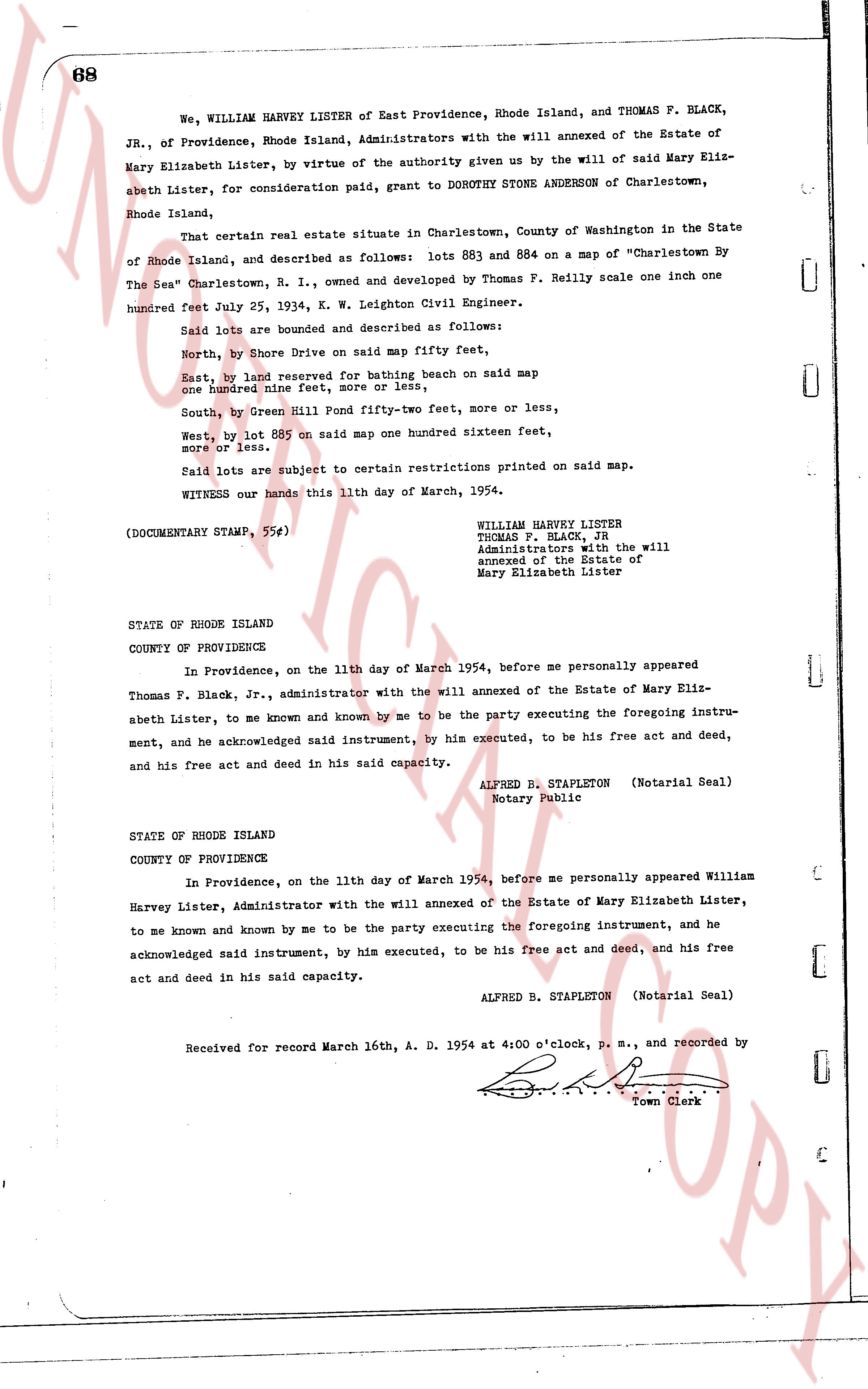
The instrument's own words
page 1 · read by Gemma vision
68
We, WILLIAM HARVEY LISTER of East Providence, Rhode Island, and THOMAS F. BLACK,
JR., of Providence, Rhode Island, Administrators with the will annexed of the Estate of
Mary Elizabeth Lister, by virtue of the authority given us by the will of said Mary Eliz-
abeth Lister, for consideration paid, grant to DOROTHY STONE ANDERSON of Charlestown,
Rhode Island,
That certain real estate situate in Charlestown, County of Washington in the State
of Rhode Island, and described as follows: lots 883 and 884 on a map of "Charlestown By
The Sea" Charlestown, R. I., owned and developed by Thomas P. Reilly scale one inch one
hundred feet July 25, 1934, E. W. Leighton Civil Engineer.
Said lots are bounded and described as follows:
North, by Shore Drive on said map fifty feet,
East, by land reserved for bathing beach on said map
one hundred nine feet, more or less,
South, by Green Hill Pond fifty-two feet, more or less,
West, by lot 885 on said map one hundred sixteen feet,
more or less.
Said lots are subject to certain restrictions printed on said map.
WITNESS our hands this 11th day of March, 1954.
(DOCUMENTARY STAMP, 55¢)
WILLIAM HARVEY LISTER
THOMAS F. BLACK, Jr
Administrators with the will
annexed of the Estate of
Mary Elizabeth Lister
STATE OF RHODE ISLAND
COUNTY OF PROVIDENCE
In Providence, on the 11th day of March 1954, before me personally appeared
Thomas F. Black, Jr., administrator with the will annexed of the Estate of Mary Eliz-
abeth Lister, to me known and known by me to be the party executing the foregoing instru-
ment, and he acknowledged said instrument, by his executed, to be his free act and deed,
and his free act and deed in his said capacity.
ALFRED B. STAPLETON (Notarial Seal)
Notary Public
STATE OF RHODE ISLAND
COUNTY OF PROVIDENCE
In Providence, on the 11th day of March 1954, before me personally appeared William
Harvey Lister, Administrator with the will annexed of the Estate of Mary Elizabeth Lister,
to me known and known by me to be the party executing the foregoing instrument, and he
acknowledged said instrument, by his executed, to be his free act and deed, and his free
act and deed in his said capacity.
ALFRED B. STAPLETON (Notarial Seal)
Received for record March 16th, A. D. 1954 at 4:00 o'clock, p. m., and recorded by
[Signature]
Town Clerk
The page as recorded