The instrument's own words
page 1 · read by Gemma vision
692
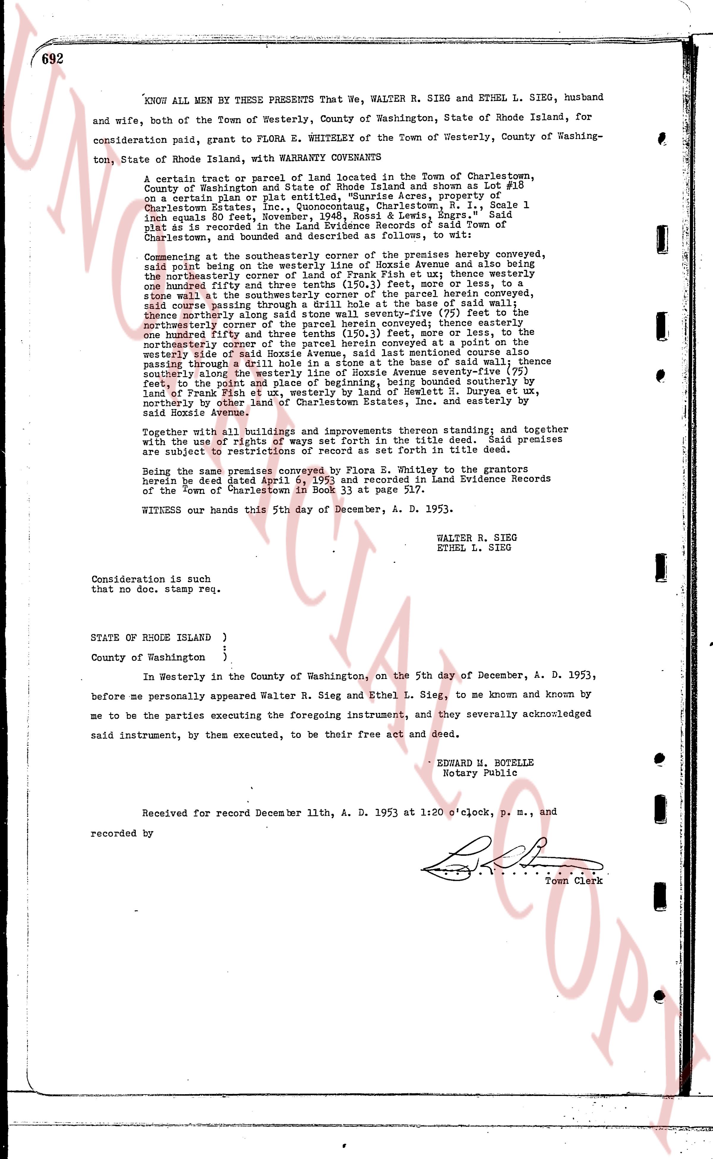
KNOW ALL MEN BY THESE PRESENTS That We, WALTER R. SIEG and ETHEL L. SIEG, husband and wife, both of the Town of Westerly, County of Washington, State of Rhode Island, for consideration paid, grant to FLORA E. WHITELEY of the Town of Westerly, County of Washington, State of Rhode Island, WITH WARRANTY CONVEYANCE
A certain tract or parcel of land located in the Town of Charlestown, County of Washington and State of Rhode Island and shown as Lot #18 on a certain plat or file designated "Sunrise Acres, property of Charlestown Estates, Inc., Quonocuttung, Charlestown, R.I., Scale 1 inch equals 60 feet" filed with the Deeds, Maps, etc. Register, said Lot as is recorded in the Land Evidence Records of said Town of Charlestown, and bounded and described as follows, to wit:
commencing at the southeasterly corner of the premises hereby conveyed, said point being on the westerly line of Hoxie Avenue and also being the northeasterly corner of the parcel next west unit then westerly one hundred and fifty three feet and three tenths (150.3) feet more or less, to a stake marking the northwest corner of the parcel hereby conveyed; thence southerly along the course of a drill hole at the base of said wall thence northeasterly along the line of the property seventy-five (75) feet to the northeasterly corner of the parcel herein conveyed; thence easterly one hundred and fifty three feet and three tenths (150.3) feet more or less, to the northeasterly corner of Hoxie Avenue; thence southeasterly in a conveyed at a point on the westerly side of said Hoxie Avenue, said last mentioned course also passing through the drill hole at the base of said wall; thence southerly along the westerly line of said Hoxie Avenue seventy-five (75) feet, to the point of beginning; said premises being bounded southerly by land of Frank Fink et ux, westerly by land of Frank Fink et ux, westerly by land of Westcott M. Duryea et ux, northerly by other lots in Sunrise Estates, Inc. and easterly by said Hoxie Avenue.
Together with all buildings and improvements thereon standing; and together with the use of rights of ways set forth in the title deed. Said premises are subject to restrictions of record as set forth in title deed.
Being the same premises conveyed by Flora E. Whiteley to the grantors herein by deed dated April 6, 1953 and recorded in Land Evidence Records of the Town of Charlestown in Book 32 page 57.
WITNESS our hands this 5th day of December, A. D. 1953.
WALTER R. SIEG
ETHEL L. SIEG
Consideration is such that no doc. stamp req.
STATE OF RHODE ISLAND )
)
County of Washington }
In Westerly in the County of Washington, on the 5th day of December, A. D. 1953, before me personally appeared Walter R. Sieg and Ethel L. Sieg, to me known and known by me to be the parties executing the foregoing instrument, and they severally acknowledged said instrument, by them executed, to be their free act and deed.
EDWARD H. BOTELLE
Notary Public
Received for record December 11th, A. D. 1953 at 1:20 o'clock, p. m., and
recorded by [?]
Town Clerk
The page as recorded