The instrument's own words
page 1 · read by Gemma vision
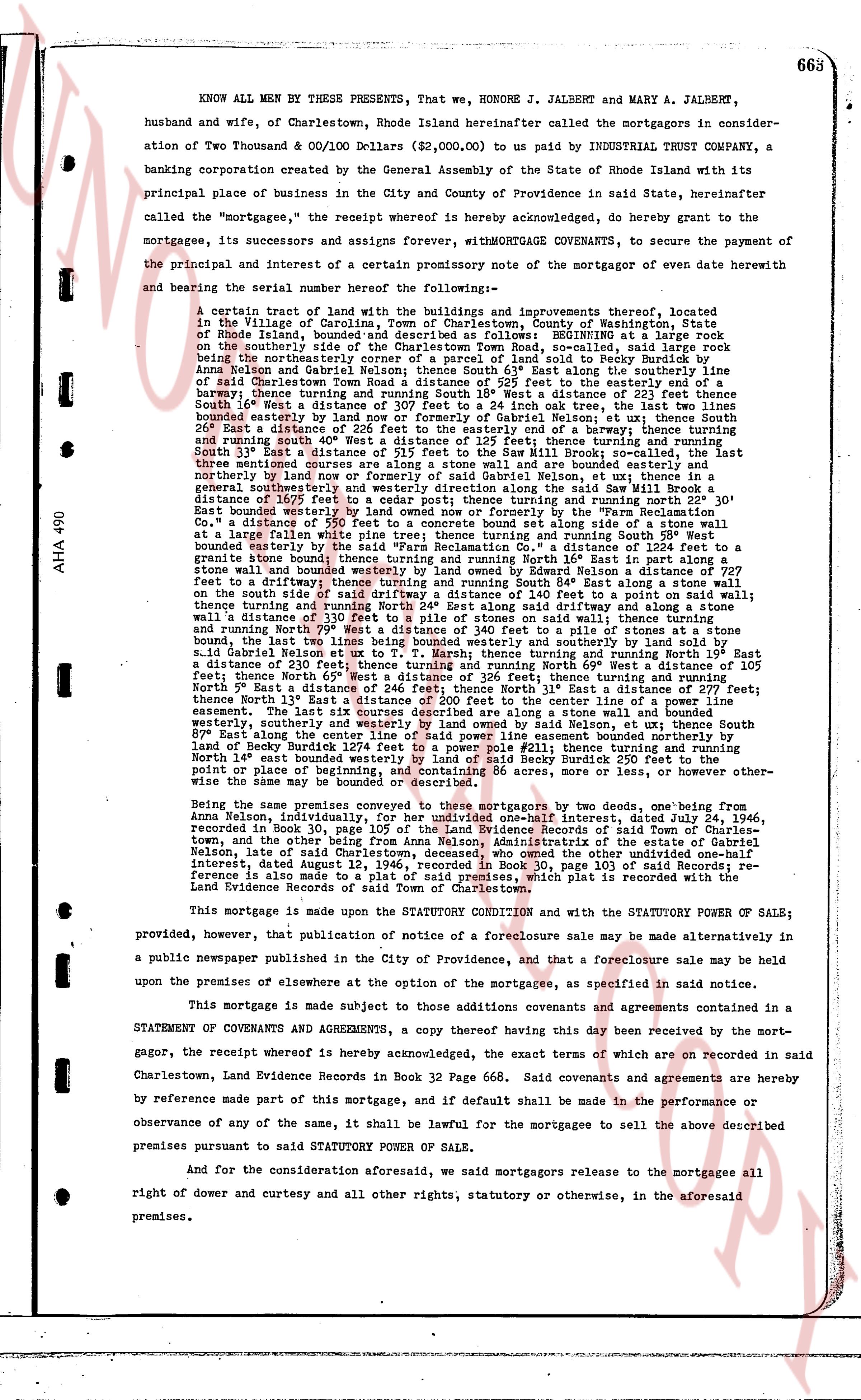
663
KNOW ALL MEN BY THESE PRESENTS, That we, HONORE J. JALBERT and MARY A. JALBERT, husband and wife, of Charlestown, Rhode Island hereinafter called the mortgagors in consideration of Two Thousand & 00/100 Dollars ($2,000.00) to us paid by INDUSTRIAL TRUST COMPANY, a banking corporation created by the General Assembly of the State of Rhode Island with its principal place of business in the City and County of Providence in said State, hereinafter called the "mortgagee," the receipt of whomsoever is hereby acknowledged, do hereby grant to the mortgagee, its successors and assigns forever, WITH MORTGAGE COVENANTS, to secure the payment of the principal and interest of a certain promissory note of the mortgagee of even date herewith and bearing the serial number here following the--
A certain tract of land with the buildings and improvements thereof, located in the Village of Carolina, Town of Charlestown, County of Washington, State of Rhode Island, bounded as follows: beginning at a stone BOUNDARY on the street known as the southerly side of the Charlestown Town road, so called, said right line East 16 1/2 deg. North of the westerlymost corner of a parcel of land so sold to Becky Burdisabled [?] Anna Nelson and Gabriel Nelson, dated August 24, 1934, and east along the line of said Charlestown Town road a distance of 525 feet to the easterly end of a driveway; thence turning South 16 1/2 deg. East a distance of 115 feet to a boundary line; thence turning South 16 1/2 deg. West a distance of 307 feet to a 24 inch oak tree, the last two lines bounding the driveway; thence turning South 16 1/2 deg. West to the boundary of the road; thence turning East a distance of 26 feet to the easterly end of a barmway; thence turning and running South 16 1/2 deg. West to the boundary of the Nelson tract; thence turning South 31 deg. East a distance of 215 feet to the swell of the Saw Mill Brook; so called, the last three lines being the boundary of the barmway; thence turning South 31 deg. East along the northerly bank northerly nor west of formerly said Gabriel Nelson, ut ex utra; thence in a general southeasterly direction to a stone boundary; thence turning and running North 22 deg. 30' East a distance of 1625 feet to cedar post; thence turning and running North 22 deg. 30' East a distance of 1625 feet to a cedar post; thence turning and running North 22 deg. 30' East a distance of 550 feet to a concrete bound set along side of a stone wall at a distance of 550 feet to a concrete bound set along side of a stone wall at a distance of 550 feet to a concrete bound set along side of a stone wall at a distance of 1224 feet to a said "Farm Reclamation Co." a distance of 1224 feet to a said "Farm Reclamation Co." a distance of 1224 feet to a said "Farm Reclamation Co." bounded easterly by the said "Farm Reclamation Co." a distance of 1224 feet to a granite stone bound; thence turning and running North 16 deg. East in a general southeasterly direction to the boundary of the Nelson tract; thence turning North 22 deg. 30' East a distance of 270 feet to a driveway; thence turning and running North 84 deg. East along a stone wall on the north side of the driveway a distance of 115 feet to a point; thence turning and running North 24 deg. East along said driveway and along a stone wall a distance of 307 feet to a 24 inch oak tree, said wall being the boundary; thence turning and running North 24 deg. East along said driveway and along a stone wall a distance of 26 feet to the easterly end of a barmway; thence turning and running North 24 deg. East a distance of 340 feet to a pile of stones at a stone bound, the last two lines bounding the driveway; thence turning northerly to the boundary of said Gabriel Nelson ut ex utro to T. Marsh; thence turning and running North 19 deg. East a distance of 215 feet to the swell of the Saw Mill Brook; so called, the last two lines bounding the barmway; thence turning and running North 19 deg. East a distance of 307 feet to a 24 inch oak tree; thence turning and running North 19 deg. East a distance of 115 feet; thence North 65 deg. West a distance of 326 feet; thence turning and running North 19 deg. East a distance of 525 feet to a concrete bound set along side of a stone wall; thence North 13 deg. East a distance of 200 feet to the center line of a power line easement; the last two lines bounding the driveway; thence to a stone bound; thence turning westerly, southerly and easterly to western land owned by said Nelson, ut ex utra; thence South 87 deg. East along the boundary of said Nelson to the center line of a power line easement bounded northerly by land of Becky Burdisabled 1274 feet to a power line easement bounded northerly by land of Becky Burdisabled 211 feet, thence boundary westerly by land of Becky Burdisabled 250 feet to the point of place of beginning of the premises; the lines and distances here described being other-wise the same may be bounded or described.
Being the same premises conveyed to these mortgagors by two deeds, one being from Anna Nelson, individually, a distance of one-half interest, dated July 24, 1946, recorded in Book 30, page 105 of the Land Evidence Records of said Town of Charlestown, and the other by the administrators of the estate of Gabriel Nelson, dated August 24, 1946, recorded in Book 30, page 105 of the Land Evidence Records of said Town of Charlestown, deceased, who owned the other undivided one-half interest, dated August 24, 1946, recorded in Book 30, page 105 of the Land Evidence Records of said Town of Charlestown. Reference is also made to a plat of said premises, which plat is recorded with the Land Evidence Records of said Town of Charlestown.
This mortgage is made under the STATUTORY CONDITION and with the STATUTORY POWER OF SALE; provided, however, that publication of notice of a foreclosure sale may be made alternatively in a public newspaper published in the City of Providence, and that a foreclosure sale may be held on the premises of elsewhere at the option of the mortgagee, as specified in said notice.
This mortgage is made subject to those additions covenants and agreements contained in a STATEMENT OF COVENANTS AND AGREEMENTS, a copy thereof having this day been received by the mortgagor, the receipt whereof is hereby acknowledged, the exact terms of which are recorded in said Charlestown, Land Evidence Records in Book 32 Page 668. Said covenants and agreements are hereby by reference made part of this mortgage, and if default shall be made in the performance or observance of any of the same, it shall be lawful for the mortgagee to sell the above described premises pursuant to said STATUTORY POWER OF SALE.
And for the consideration aforesaid, we said mortgagors release to the mortgagee all right of dower and curtesy and all other rights, statutory or otherwise, in the aforesaid premises.
page 2 · read by Gemma vision
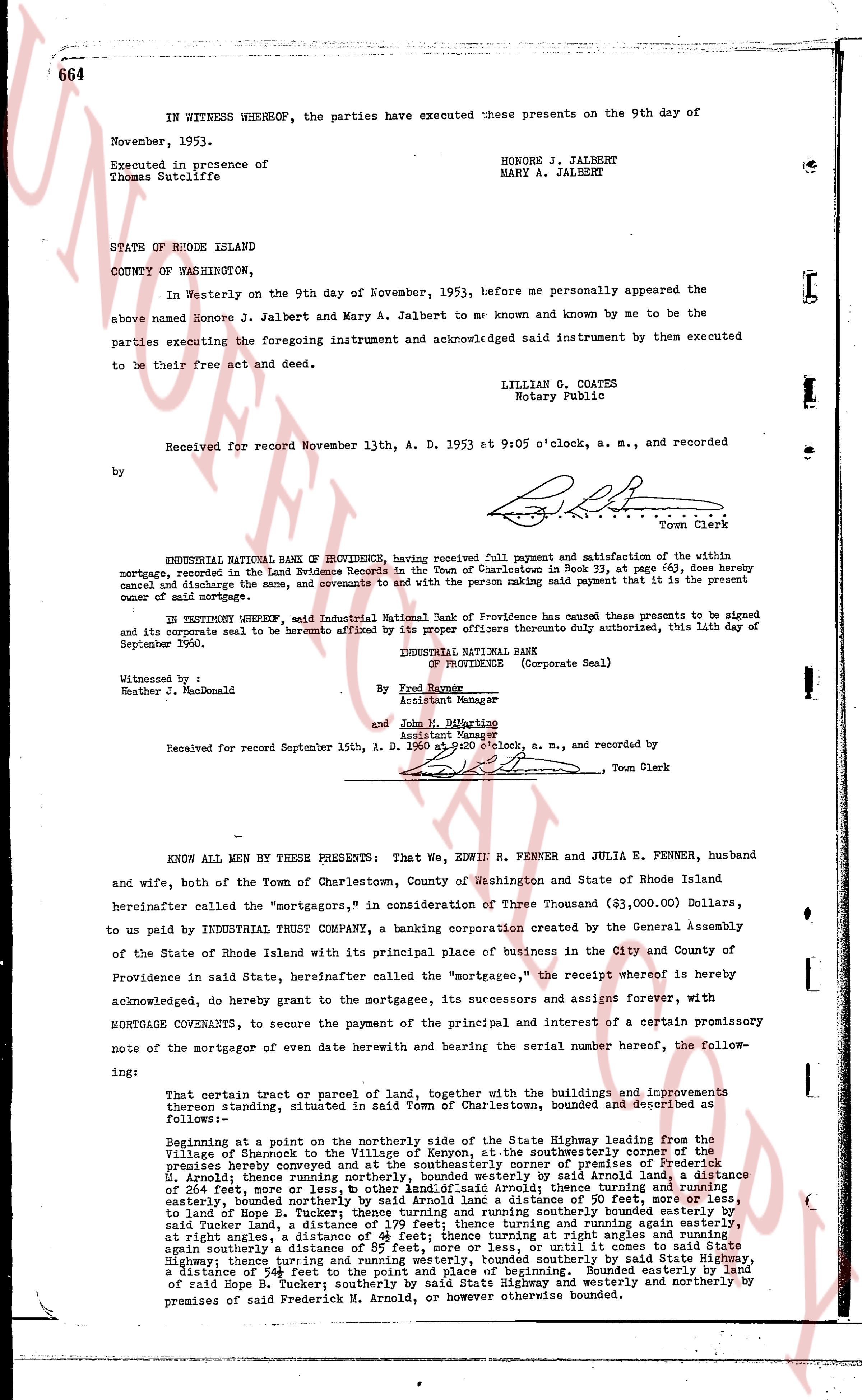
664
IN WITNESS WHEREOF, the parties have executed these presents on the 9th day of
November, 1953.
Executed in presence of
Thomas Sutcliffe
HONORE J. JALBERT
MARY A. JALBERT
STATE OF RHODE ISLAND
COUNTY OF WASHINGTON,
In Westerly on the 9th day of November, 1953, before me personally appeared the
above named Honore J. Jalbert and Mary A. Jalbert to me known and known by me to be the
parties executing the foregoing instrument and acknowledged said instrument by them executed
to be their free act and deed.
LILLIAN G. COATES
Notary Public
Received for record November 13th, A. D. 1953 at 9:05 o'clock, a. m., and recorded
by [signature]
Town Clerk
ENDORSEMENT: INDUSTRIAL NATIONAL BANK OF PROVIDENCE, having received full payment and satisfaction of the within
mortgage, recorded in the Land Evidence Records in the Town of Charlestown in Book 33, at page 663, does hereby
cancel and discharge the same, and covenants to and with the person making said payment that it is the present
owner of said mortgage.
IN TESTIMONY WHEREOF, said Industrial National Bank of Providence has caused these presents to be signed
and its corporate seal to be hereunto affixed by its proper officers therefore duly authorized, this 14th day of
September 1960.
INDUSTRIAL NATIONAL BANK
[seal] (Corporate Seal)
By Fred Rayner
Assistant Manager
and John M. Dithering
Assistant Manager
Witnessed by:
Heather J. MacDonald
Received for record September 15th, A. D. 1960 at 10 o'clock, a. m., and recorded by [signature]
Town Clerk
----
KNOW ALL MEN BY THESE PRESENTS: That We, EDWIN R. FENNER and JULIA E. FENNER, husband
and wife, both of the Town of Charlestown, County of Washington and State of Rhode Island
hereinafter called the "mortgagors," in consideration of Three Thousand ($3,000.00) Dollars,
to us paid by INDUSTRIAL TRUST CO, a banking corporation created by the General Assembly
of the State of Rhode Island with its principal place of business in the City and County of
Providence in said State, hereinafter called the "mortgagee," the receipt whereof is hereby
acknowledged, do hereby grant to the mortgagee, its successors and assigns forever, with
MORTGAGE COVENANTS, to secure the payment of the principal and interest of a certain promissory
note of the mortgagor of even date herewith and bearing the serial number hereof, the follow-
ing:
That certain tract or parcel of land, together with the buildings and improvements
thereon standing, situated in said town of Charlestown, bounded and described as
follows:
Beginning at a point on the northerly side of the State Highway leading from the
Village of Shamrock to the Village of Kenyon, at the southeasterly corner of the premises
hereby conveyed and at the southeasterly corner of the premises of Frederick
H. Arnold; thence running southwesterly by said State Highway and by the distance
of 264 feet, more or less, to other land; said Arnold; thence turning and running
easterly, bounded north by the premises of the mortgagors, a distance of 80 feet, more or
less, to land of Hope R. Tucker; thence turning and running southerly bounded easterly by
said Tucker land, and by the premises of the mortgagors, turning and turning again
at right angles, a distance of 41 feet, more or less, thence turning at right angles and running
again southerly a distance of 55 feet, more or less, until it comes to said State High-
way, thence turning and running northwesterly by said State Highway, a distance
of 541 feet to the point and place of beginning. Bounded easterly by land in
of said Hope R. Tucker; bounded south by said State Highway and westerly by
premises of said Frederick H. Arnold, or however otherwise bounded.
The page as recorded