The instrument's own words
page 1 · read by Gemma vision
655
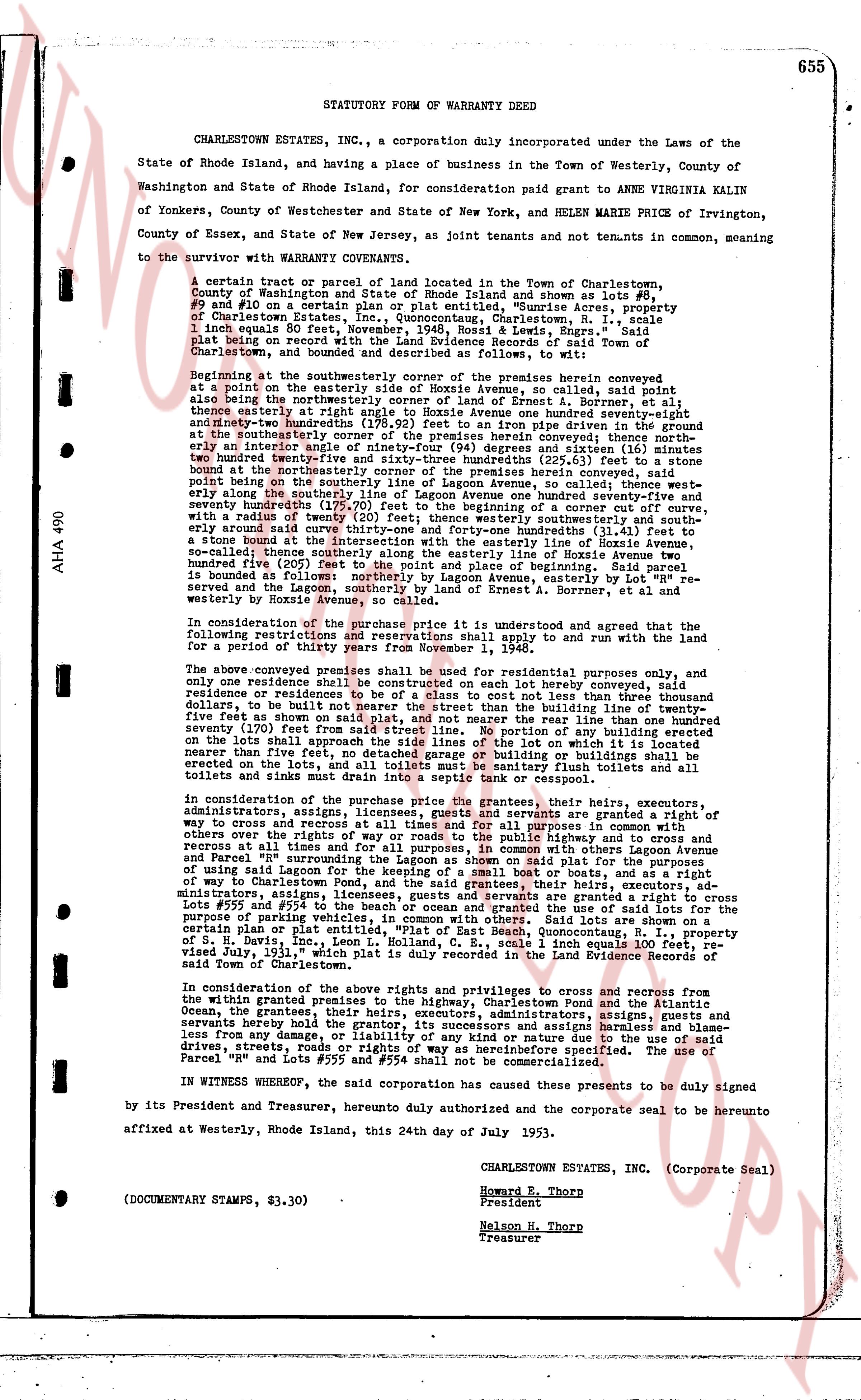
STATUTORY FORM of WARRANTY DEED
CHARLESTOWN ESTATES, INC., a corporation duly incorporated under the Laws of the State of Rhode Island, and having a place of business in the Town of Westerly, County of Washington and State of Rhode Island, for consideration paid grant to ANNE VIRGINIA KALIN of Yonkers, County of Westchester and State of New York, and HELEN MARIE PRICE of Irvington, County of Essex, and State of New Jersey, as joint tenants and not tenants in common, meaning to the survivor with WARRANTY COVENANTS.
A certain tract or parcel of land located in the Town of Charlestown, County of Washington and State of Rhode Island and shown as lot number 48 and 49 on a certain plat in the Town of Charlestown plat entitled, "Sunrise Acres, property of Charlestown Estates, Inc.," Quonocutong, Charlestown, R. I., scale 1 inch equals 50 feet, said plat being on record with the Land Evidence Records of said Town of Charlestown, and bounded and described as follows, to wit:
Beginning at the southeasterly corner of the premises herein conveyed at the point on the easterly side of Hossey Avenue, so called, said point also being the northeasterly corner of the land of Ernest A. Borrmann, et al; thence easterly at right angle to Hossey Avenue one hundred ninety-seven and 41/100 feet; thence northwestward one hundred ninety-seven and 41/100 feet on a line drawn perpendicular from the given boundary at the southeasterly corner of the premises herein conveyed thence south east at right angle to the line of forty-four (44) degrees and sixteen (16) minutes two hundred twenty-five feet eight and 11/100 inches (225.81 feet) to a stone bound at the northeasterly corner of the premises herein conveyed, said point being on the southeasterly side of Hossey Avenue, so called; thence southeasterly one hundred ninety-seven and 41/100 feet along the southerly line of Lagoon Avenue one hundred seventy-nine and 51/100 feet; thence southeasterly along the boundary of a corner lot with a radius of twenty (20) feet; thence westerly southeasterly and southeastly one hundred ninety-seven and 41/100 feet to a stone bound at the intersection with the easterly side of Hossey Avenue, so called; thence northerly one hundred ninety-seven and 41/100 feet along Hossey Avenue, easterly three hundred five (305) feet to the point and place of beginning. Said parcel is bounded on the south by land of Ernest A. Borrmann, easterly by lot "Rm" reserved by the Lagoon and southerly by land of Ernest A. Borrmann, at the intersection with Hossey Avenue, so called.
In consideration of the purchase price it is understood and agreed that the land with the following restrictions and reservations shall apply to and run with the land for a period of thirty years from November 1, 1948.
The above conveyed premises shall be used for residential purposes only, and only one residence shall be erected on the lot herein conveyed, said residence or residences to be of a class not less than cost not less than three thousand dollars, to be built not less than twenty (20) feet from the building line and not less than five feet on each side as shown on said plat, and not nearer the rear line than one hundred ninety-seven (197) feet from the rear boundary line. The projection of any building, porch, steps on the lots shall approach the said side lines of the lot on which the lot is located not nearer than five feet. No tent, caravan, automobile, or building, or other structure shall be erected on the lots, and all toilets must be sanitary flush toilets and all toilets and sinks must be connected to a septic tank or cesspool.
In consideration of the purchase price the grantees, their heirs, executors, administrators, assigns, licensees, guests and servants are granted a right of way to enter and pass at all times and for all purposes in common with other grantees or others over the rights of way or roads to the public highway and to cross and recross at all times and for all purposes, in common with others Lagoon Avenue and Parcel "Rm" southeastern corner of the said plat for the purpose of using said Lagoon for the keeping of a small boat or boats, and as a right of way to the Charlestown beach. The grantees, their heirs, executors, administrators, assigns, licensees, guests and servants are granted a right to cross lots 48 and 49 and to cross and recross the land of Ernest A. Borrmann and the last of all lots for the purpose of parking vehicles, in common with others. Said lots are shown on a certain plat or right of way map entitled "Sunrise Acres, Quonocutong, Charlestown, R. I." of S. H. Davis, Inc., Leon L. Holland, C. E., scale 1 inch equals 100 feet, recorded July 9, 1936, said plat is duly recorded in the Land Evidence Records of said Town of Charlestown.
In consideration of the purchase price the grantees are privileged to cross and recross from the within granted premises to the highway, Charlestown Road and the Atlantic Ocean, the grantees their heirs, executors, administrators, assigns, guests and servants hereby hold harmless their successors and assigns harmless and blameless from any damage, or liability, or any claim due to the use of said drives a streets, roads, or rights of way as hereinbefore specified. The use of Parcel "Rm" and lot number 48 and 49 are non-transferable.
IN WITNESS WHEREOF, the said corporation has caused these presents to be duly signed by its President and Treasurer, hereunto duly authorized and the corporate seal to be hereunto affixed at Westerly, Rhode Island, this 24th day of July 1953.
CHARLESTOWN ESTATES, INC. (Corporate Seal)
Howard E. Thorp
President
Nelson M. Thorp
Treasurer
(DOCUMENTARY STAMPS, $3.30)
page 2 · read by Gemma vision
656
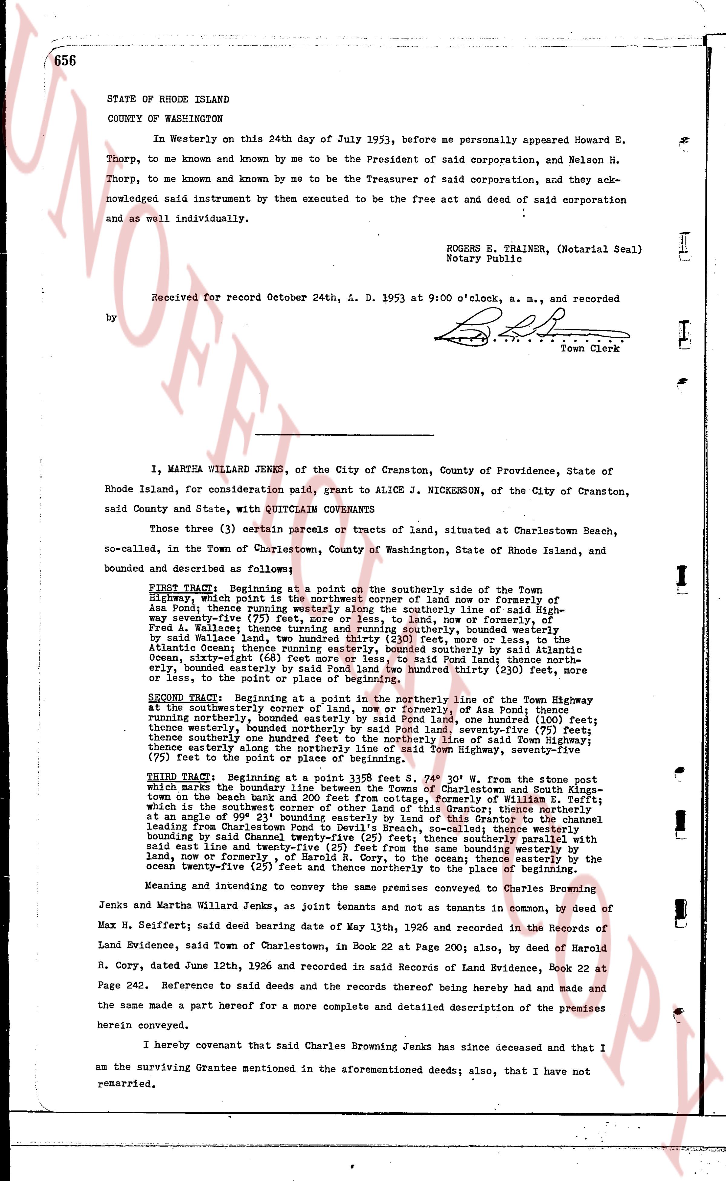
STATE OF RHODE ISLAND
COUNTY OF WASHINGTON
In Westerly on this 24th day of July 1953, before me personally appeared Howard E. Thorp, to me known and known by me to be the President of said corporation, and Nelson H. Thorp, to me known and known by me to be the Treasurer of said corporation, and they acknowledged said instrument by them executed to be the free act and deed of said corporation and as well individually.
ROGERS E. TRAINER, (Notarial Seal)
Notary Public
Received for record October 24th, A. D. 1953 at 9:00 o'clock, a. m., and recorded
by [Signature]
Town Clerk
----
I, MARTHA WILLARD JENES, of the City of Cranston, County of Providence, State of Rhode Island, for consideration paid, grant to ALICE J. NICKERSON, of the City of Cranston, said County and State, with QUITCLAIM COVENANTS
Those three (3) certain parcels or tracts of land, situated at Charlestown Beach, so-called, in the Town of Charlestown, County of Washington, State of Rhode Island, and bounded as follows:
FIRST TRACT: Beginning at a point on the southerly side of the Town Highway, which point is the northeast corner of land now or formerly of Asa Pond; thence running westerly along the southerly line of said Highway seventy-five (75) feet; thence turning northerly into said land, now or formerly of Asa Pond; thence running northerly, bounded easterly by said land, now or formerly of Asa Pond; thence running northerly, bounded easterly by said Wallace land; thence turning and running southerly, bounded westerly by said Wallace land; thence turning and running easterly one hundred five (105) feet more or less, to the Atlantic Ocean; thence running easterly, bounded southerly by said Atlantic Ocean, sixty-eight (68) feet more or less, to said land, now or formerly of Asa Pond; thence northerly, bounded easterly by said land, now or formerly of Asa Pond, one hundred thirty (130) feet more or less, to the point of beginning of this tract.
SECOND TRACT: Beginning at a point in the northerly line of the Town Highway at the northeasterly corner of land now or formerly of Asa Pond; thence running northerly, bounded easterly by said Pond land, one hundred (100) feet; thence westerly, bounded southerly by said land, now or formerly of Asa Pond, everything (80) feet; thence southerly one hundred feet to the northerly line of said Town Highway, seventy-five (75) feet to the point of place or beginning.
THIRD TRACT: Beginning at a point in said 139.5 feet S 30° W 50' from the stone post which marks the boundary line between the farms of Charlestown and South Kingstown on the beach bank and 200 feet from cottage, formerly of William E. Tefft; which is the northeast corner of the land now owned by the Grantor; thence northerly between the beach and the Charlestown Pond to Devlin's Breach, so called; thence westerly running between the beach and Charlestown Pond to Devlin's Breach, so called; thence southerly bounded by said Chaunestown Pond, one hundred (100) feet; thence northerly part of the said east line and twenty-five (25) feet from the same bounding westerly by land, now or formerly of Asa Pond; thence easterly to the ocean thence easterly by the ocean twenty-five (25) feet and thence northerly to the place of beginning.
Meaning and intending to convey the same premises conveyed to Charles Brownjenkins and Martha Willard Jenes, as joint tenants and not tenants as tenants in common, by deed of Max H. Seifert; said deed bearing date of May 13th, 1926 and recorded in the Records of Land Evidence, said Town of Charlestown, in Book 22 at Page 200; also, by deed of Harold R. Cory, dated June 12th, 1926 and recorded in said Records of Land Evidence, Book 22 at Page 242. Reference to said deeds and the records thereof being hereby made and the same made a part hereof for a more complete and detailed description of the premises herein conveyed.
I hereby covenant that said Charles Brownjenkins Jenks has since deceased and that I am the surviving Grantee mentioned in the aforementioned deeds; also, that I have not remarried.
The page as recorded