The instrument's own words
page 1 · read by Gemma vision
637
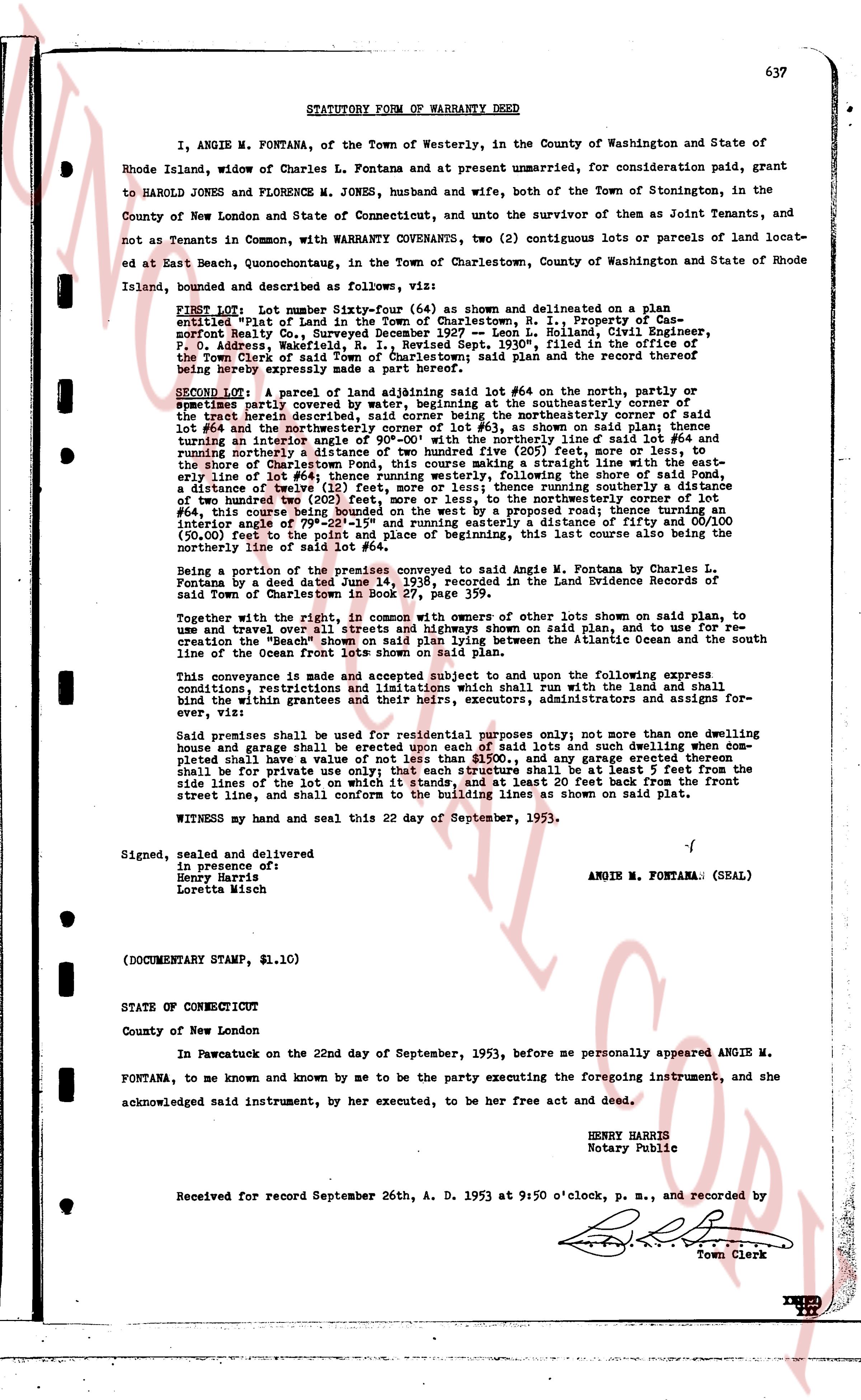
STATUTORY FORM OF WARRANTY DEED
I, ANGIE M. FONTANA, of the Town of Westerly, in the County of Washington and State of Rhode Island, widow of Charles L. Fontana and at present unmarried, for consideration paid, grant to HAROLD JONES and FLORENCE M. JONES, husband and wife, both of the Town of Stonington, in the County of New London and State of Connecticut, and unto the survivor of them as Joint Tenants, and not as Tenants in Common, with WARRANTY CONVEYANCE, two (2) contiguous lots or parcels of land located at Edgartown Beach, Quonochontaug, in the Town of Charlestown, County of Washington and State of Rhode Island, bounded and described as follows, all upon the said plan:
FIRST LOT: Lot number Sixty-four (64) as shown and delineated on a plan entitled "Plat of the Land in the Town of Charlestown, R. I.," Property of Casper Norfolk, Surveyed by Robert S. Snyder on July 1, 1927 and dated July 11, 1927, Sheet P, D. P. Address, Westerly, R. I., Revised Sept. 1930", filed in the office of the Town Clerk of said town as a record plan and the record thereof being hereby expressly made a part hereof;
SECOND LOT: A parcel of land adjoining said lot #64 on the north, the property or tenements partly covered by water, beginning at the southeasterly corner of the tract herein described and running northerly, along the northeasterly corner of lot #64 and the northeasterly corner of lot #63, as shown on said plan thence turning easterly and running parallel to the northeasterly line of said lot #64 and running northerly a distance of two hundred five (205) feet, more or less, to the shore of Charlestown Beach, thence running easterly in a straight line along the shore of Charlestown Beach to a point, thence running westerly, following the shore of said Pond, a distance of twenty five (25) feet, thence running southerly, running southerly a distance of two hundred two (202) feet, more or less, to the northeasterly corner of lot #64 of said plan, thence running southwesterly, running southeasterly then turning on an interior angle of 79°-22'-15" and running easterly a distance of fifty and 00/100 (50.00) feet to the point of beginning and place of beginning, this last line also being the northerly line of the Ocean fronts lots shown on said plan.
Being a portion of the premises conveyed to said Angie M. Fontana by Charles L. Fontana by a deed date June 14, 1936, recorded in the Land Evidence Records of said Town of Charlestown in book 22, page 111.
Together with the right, in common with owners of other lots shown on said plan, to use and traverse over all streets and highways shown on said plan, and to use and for recreation the "Beach" shown on said plan, and to use the altitude area between the south line of the Ocean fronts lots shown on said plan.
This conveyance is made and accepted subject to and upon the following express conditions, restrictions and reservations which shall run with the land and shall be binding within the grantrees and their heirs, executors, administrators and assigns forever, viz:
Said premises shall be used for residential purposes only; not more than one dwelling house and garage shall be erected upon each of said lots and such dwelling when completed shall have a value of not less than $5,000.00; and any garage constructed shall be for private use only; that each structure shall be at least 5 feet from the side lines of the lot on which it stands, and at least 20 feet back from the front street line, and shall conform to the building lines as shown on said Plat.
Witness my hand and seal this 22 day of September, 1953.
Signed, sealed and delivered
in presence of:
Henry Harris
Loretta Mish
ANGIE M. FONTANA (SEAL)
(DOCUMENTARY STAMP, $1.10)
STATE OF CONNECTICUT
County of New London
In Pawcatuck on the 22nd day of September, 1953, before me personally appeared ANGIE M. FONTANA, to me known and by me to be the party executing the foregoing instrument, and she acknowledged said instrument, by her executed, to be her free act and deed.
HENRY HARRIS
Notary Public
Received for record September 26th, A. D. 1953 at 9:50 o'clock, p. m., and recorded by
[Signature]
Town Clerk
The page as recorded