The instrument's own words
page 1 · read by Gemma vision
628
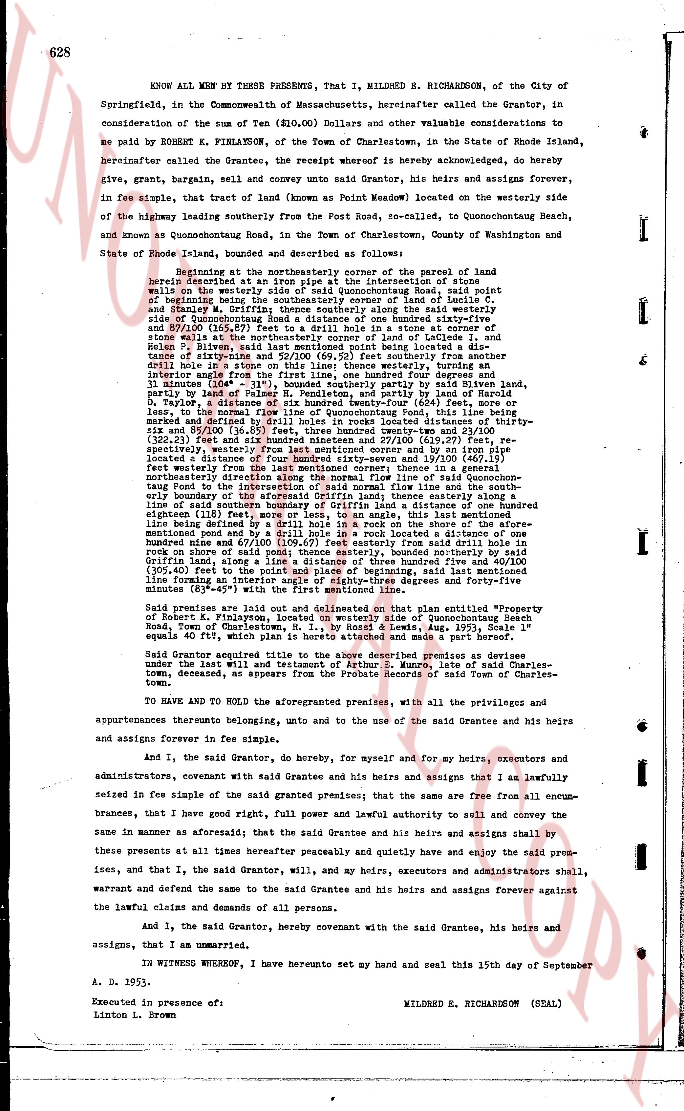
KNOW ALL MEN BY THESE PRESENTS, That I, MILDRED E. RICHARDSON, of the City of Springfield, in the Commonwealth of Massachusetts, hereinafter called the Grantor, in consideration of the sum of Ten ($10.00) Dollars and other valuable considerations to me paid by ROBERT K. FINLAYSON, of the Town of Charlestown, in the State of Rhode Island, hereinafter called the Grantee, the receipt whereof is hereby acknowledged, do hereby give, grant, bargain, sell and convey unto said Grantor, his heirs and assigns forever, in fee simple, that tract of land (known as "Point Meadow") located on the westerly side of the highway leading southerly from the Post Road, so-called, to Quonochontaug Beach, and known as Quonochontaug Road, in the Town of Charlestown, County of Washington and State of Rhode Island, housed and described as follows:
Beginning at the northeasterly corner of the parcel of land being described in a deed from Samuel A. & Intersection of state avenues on the westerly side of Quonochontaug Road, said point of beginning being the southeasterly corner of land of Leidea I. and Stanley M. Griffin; thence southerly along the said westerly side of Quonochontaug Road a distance of one hundred ninety-four feet and 87/100 (194.87) sse to drift a hole in a granite stone at on center of line that stone at the northeasterly corner of land of Leidea I. and Helen P. Bivens; thence a line running southerly being located a distance of ninety-sine and 52/100 (90.52) feet southerly from another drill hole in a granite stone at the corner thence westerly, north three and interior angle from the first line, one hundred four degrees and four minutes 38" (104° 4' 38") for a distance partly by said Bivens land, partly by land of Palmer E. Henderson, and partly by land of Harold D. Taylor, a distance of one hundred twenty-four feet, more or less, to the normal flow line of Quonochontaug Pond, this line being marked and defined by three drill holes in a granite boulder a distance of thirty-six and 85/100 (36.85) feet, three hundred twenty-two and 29/100 (322.29) feet, and 322.29 (322.29) feet and 270.00 (270.00) feet, respectively, westerly from last mentioned corner and by an iron pipe located a distance of 270.00 feet and 270.00 (270.00) feet, thence northeasterly from the last mentioned corner to the normal flow line of said Quonochontaug Pond to the intersection of said normal flow line and the southeasterly boundary of the land of Samuel A. Griffin, thence easterly along the line of said southern boundary of Griffin land to a distance of one hundred eighteen (118) feet, more or less, to an angle, on that line the last mentioned line being defined by a drill hole in a rock on the shore of the aforementioned pond and by a grill hole in a rock located a distance of one hundred nine and 07/100 (109.07) feet easterly from said drill hole in a rock on shore of said pond; thence easterly, bordered northerly by said Griffin land, along a line defined by three drill holes and 400.00 (400.00) feet, to the point and place of beginning, said last mentioned line forming an interior angle with the first line of north three degrees and forty-nine minutes (83° 45') with the first mentioned line.
Said premises are laid out and delineated on that plan entitled "Property of Robert K. Finlayson, located on the westerly side of Quonochontaug Road, Town of Charlestown, R. I., by Rossi & Lewis, Aug. 1953, Scale 1" equals 40 ft, which plan is hereunto attached and made a part hereof.
Said Grantor acquired title to the above described premises as devisee under the last Will and testament of Samuel A. Moore, late of said Charlestown, deceased, as appears from the Probate Records of said Town of Charlestown.
TO HAVE AND TO HOLD the aforementioned premises, with all the privileges and appurtenances thereto belonging, unto and to the use of the said Grantee and his heirs and assigns forever in fee simple.
And I, the said Grantor, do hereby, for myself and for my heirs, executors and administrators, covenant with said Grantee and his heirs and assigns that I am lawfully seized in fee simple of the said granted premises; that the same are free from all encumbrances, that I have good right, full power and lawful authority to sell and convey the same in manner as aforesaid; that the said Grantee and his heirs and assigns shall by these presents at all times hereafter peaceably and quietly have and enjoy the said premises, and that I, the said Grantor, will, and my heirs, executors and administrators shall, warrant and defend the same to the said Grantee and his heirs and assigns forever against in the lawful claims and demands of all persons.
And I, the said Grantor, hereby covenant with the said Grantee, his heirs and assigns, that I am unmarried.
IN WITNESS WHEREOF, I have renutely set my hand and seal this 15th day of September A. D. 1953.
Executed in presence of:
Linton L. Brown
MILDRED E. RICHARDSON (SEAL)
page 2 · read by Gemma vision
629
STATE OF RHODE ISLAND
COUNTY OF WASHINGTON
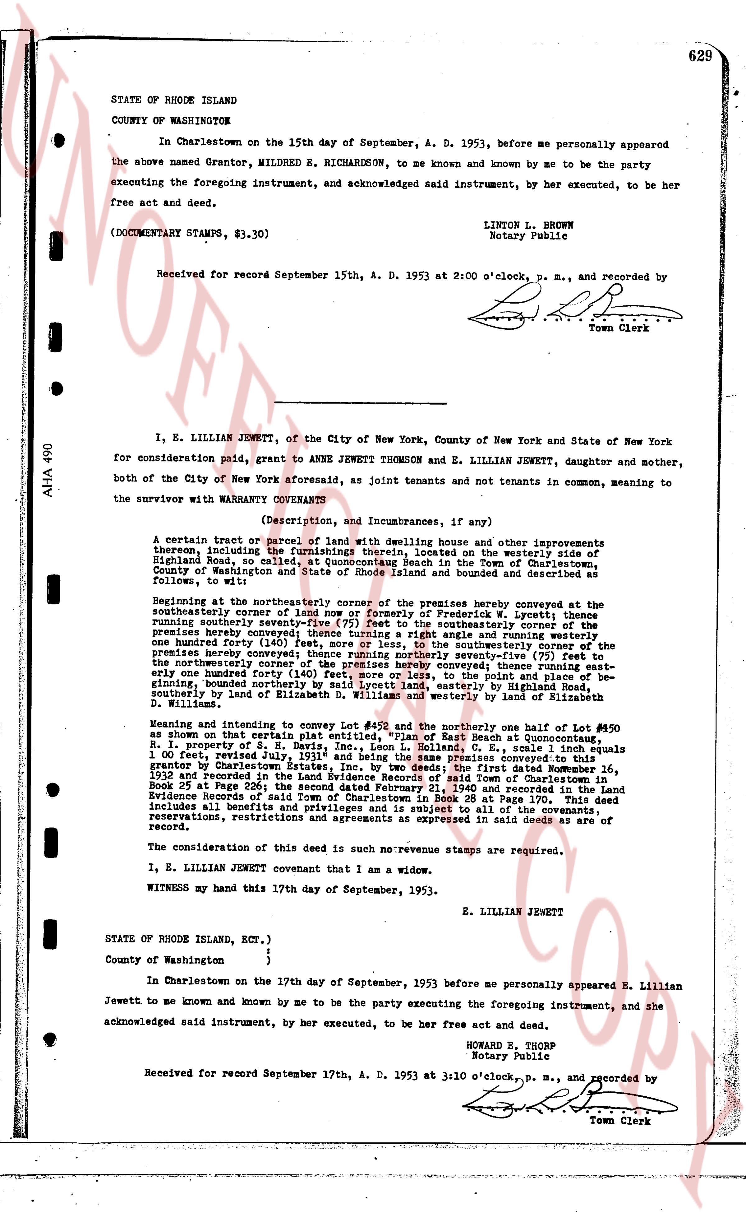
In Charlestown on the 15th day of September, A. D. 1953, before me personally appeared the above named Grantor, MILDRED E. RICHARDSON, to me known and known by me to be the party executing the foregoing instrument, and acknowledged said instrument, by her executed, to be her free act and deed.
(DOCUMENTARY STAMPS, $3.30)
LINTON L. BROWN
Notary Public
Received for record September 15th, A. D. 1953 at 2:00 o'clock, p. m., and recorded by
[Signature]
Town Clerk
----
I, E. LILLIAN JEWETT, of the City of New York, County of New York and State of New York for consideration paid, grant to ANNE JEWETT THOMSON and E. LILLIAN JEWETT, daughter and mother, both of the City of New York aforesaid, as joint tenants and not tenants in common, meaning to the survivor with WARRANTY COVENANTS
(Description, and Incumbrances, if any)
A certain tract or parcel of land with dwelling house and other improvements thereon, including the furnishings therein, located on the westerly side of Highland Street, so called, at Quonochontaug Beach in the Town of Charlestown, County of Washington and State of Rhode Island, bounded and described as follows, to wit:
Beginning at the northeasterly corner of the premises hereby conveyed at the southeasterly corner of a land nor east by reference of Frederick W. Lycett; thence running southerly seventy-nine degrees ninety-five (95) feet to the southeasterly corner of the premises hereby conveyed; thence running south east by said angle and running northerly one hundred forty (140) feet, more or less, to the southeasterly corner of the premises hereby conveyed; thence running south east by said angle and running northerly one hundred forty (140) feet, more or less, to the northeasterly corner of the premises hereby conveyed; thence running east until one hundred forty (140) feet, more or less, to the point and place of beginning, bounded northerly by said Lycett land, easterly by Highland St. and southeasterly by lands of Elizabeth D. Williams and westerly by land of Elizabeth D. Williams.
Meaning and intending to convey Lot #492 and the northerly one half of Lot #490 as shown on that certain plat entitled, "Plan of East Beach at Quonochontaug, R. I.," property of S. H. Lycett, dated June 11, 1931 and Book C, Page 1 equals 1.00 feet, revised July 1931" and being the same premises conveyed to the grantor by Charterhouse Trust Co. by deed dated December 16, 1936 and recorded in the Land Evidence Records of said Town of Charlestown in book 25 at page 265. The first part of said land is in Book 24 at page 104 and recorded in the Land Evidence Records of said Town of Charlestown in Book 24 at Page 170. This deed includes a beneficial interest in the road right of way subject to all of the covenants, reservations, restrictions and agreements as expressed in said deeds as are of record.
The consideration of this deed is such no révénumce stamps are required.
I, E. LILLIAN JEWETT covenant that I am a widow.
WITNESS my hand this 17th day of September, 1953.
E. LILLIAN JEWETT
STATE OF RHODE ISLAND, ECT.)
County of Washington }
}
In Charlestown on the 17th day of September, 1953 before me personally appeared E. Lillian Jewett to me known and known by me to be the party executing the foregoing instrument, and she acknowledged said instrument, by her executed, to be her free act and deed.
HOWARD E. THORP
Notary Public
Received for record September 17th, A. D. 1953 at 3:10 o'clock, p. m., and recorded by
[Signature]
Town Clerk
The page as recorded