The instrument's own words
page 1 · read by Gemma vision
621
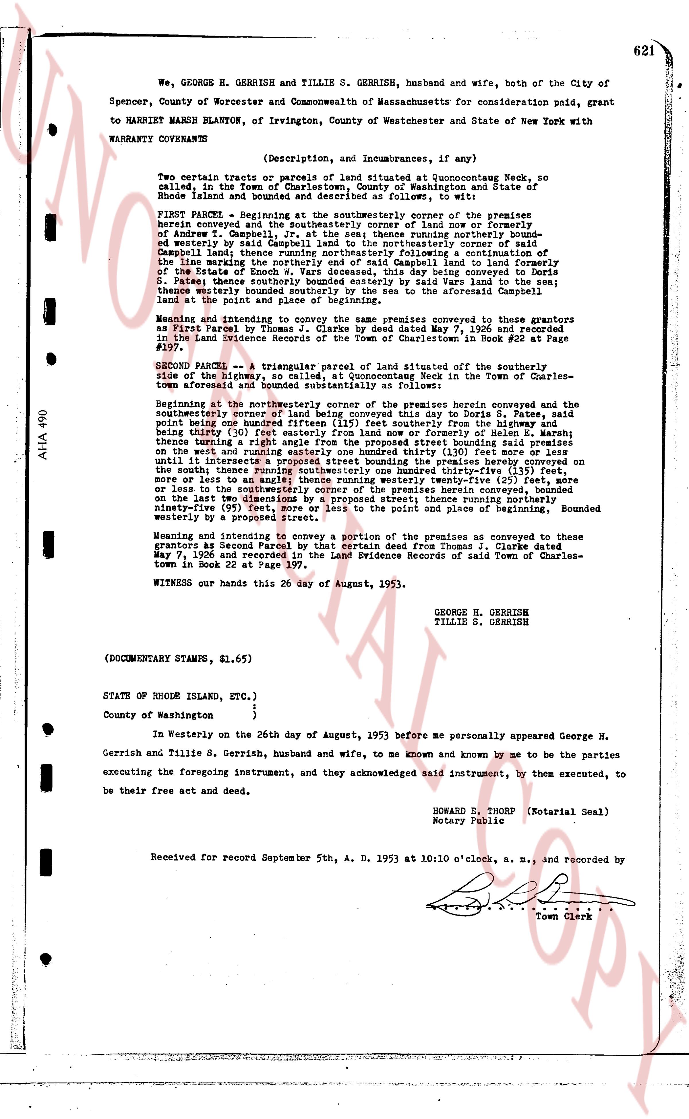
We, GEORGE H. GERRISH and TILLIE S. GERRISH, husband and wife, both of the City of Spencer, County of Worcester and Commonwealth of Massachusetts for consideration paid, grant to HARRIET MARSH BLANTON, of Irvington, County of Westchester and State of New York with WARRANTY CONVEYANTS
(Description, and Incumbrances, if any)
Two certain tracts or parcels of land situated at Quonocuttauq Neck, so called, in the Town of Charlestown, County of Washington and State of Rhode Island and bounded and described as follows:
FIRST PARCEL - Beginning at the southeasterly corner of the premises herein conveyed and the southeasterly corner of land now or formerly of Andrew T. Campbell, Jr. at the sea; thence running northerly bounded by said Andrew T. Campbell, Jr. land at the sea; thence running northeasterly bounded by said land and water to the northeasterly corner of said land now or formerly of the Estate of Enoch W. Yard deceased, this day conveyed to Doris S. James having traveled by the sea; thence running northeasterly following a continuation of the line marking the boundary between said Campbell land and land now or formerly of the Estate of Enoch W. Yard deceased, this day conveyed to Doris S. James; thence westerly bounded southerly by the sea and said Yard land to the sea; thence westerly bounded southerly by the sea to the aforesaid Campbell land; thence the point of beginning.
Meaning and intending to convey the same premises conveyed to these grantors as First Parcel by Thomas J. Clarke by Deed dated May 7, 1926 and recorded in the Land Evidence Records of the Town of Charlestown in Book #22 at Page #197.
SECOND PARCEL -- A triangular parcel of land situated off the southeasterly side of the highway, so called, at Quonocuttauq Neck in the Town of Charlestown, aforesaid and bounded and described as follows:
Beginning at the northeasterly corner of the premises herein conveyed and the southeasterly corner of land being conveyed this day to Doris S. James, said point being one hundred ninety-five (195) feet southerly from the highway and being thirty (30) feet easterly from land now or formerly of Helen R. Marsh; thence starting from the highway and running southeasterly bounded northerly on the work and running easterly one hundred thirty (130) feet (more or less) until it intersects a line marking the boundary between premises herein conveyed bounded on the south; thence running southeasterly one hundred thirty one northirty-five (135) feet, more or less to the sea; an area of approximately zero and twenty-five (0.25) acres or less to the southeasterly corner of the premises herein conveyed, bounded on the east by the ocean; bounded northerly by a proposed street; thence running northerly ninety-five (95) feet, more or less to the point of beginning. Bounded westerly by a proposed street.
Meaning and intending to convey a portion of the premises conveyed to these grantors as Second Parcel by that certain deed from Thomas J. Clarke dated May 7, 1926 and recorded in the Land Evidence Records of said Town of Charlestown Book in Book 22 at Page 197.
WITNESS our hands this 26 day of August, 1953.
GEORGE H. GERRISH
TILLIE S. GERRISH
(DOCUMENTARY STAMPS, $1.65)
STATE OF RHODE ISLAND, ETC.,)
County of Washington )
In Westerly on the 26th day of August, 1953 before me personally appeared George H. Gerrish and Tillie S. Gerrish, husband and wife, to me known and known by me to be the parties executing the foregoing instrument, and they acknowledged said instrument, by them executed, to be their free act and deed.
HOWARD B. THORP (Notarial Seal)
Notary Public
Received for record September 5th, A. D. 1953 at 10:10 o'clock, a. m., and recorded by
[Signature]
Town Clerk
The page as recorded