The instrument's own words
page 1 · read by Gemma vision
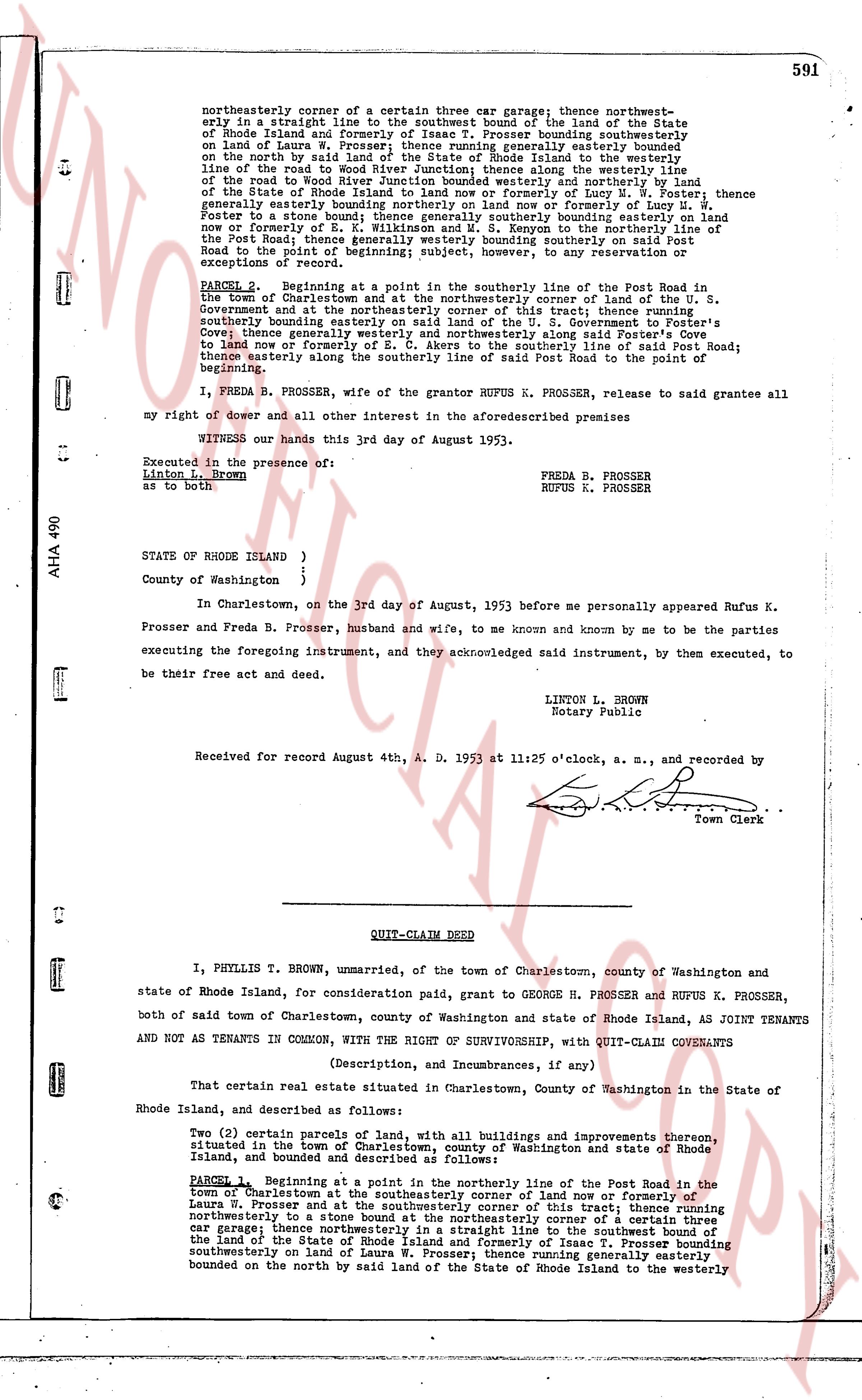
591
northeasterly corner of a certain three car garage; thence northwestly e sly in a straight line to the southwest bound of the land of the State of Rhode Island and formerly of Laura W. Prosser; thence Prosser bounding southwesterly on land of Laura W. Prosser; thence running generally easterly bounded on the north side by said road; thence running easterly on said land to the westerly line, of the road to the Wood River Junction; thence running easterly along the westerly line, of the road to the Wood River Junction bounded westerly and northerly by land of the State of Rhode Island and formerly of the heirs of Lucy L. Prosser; thence generally easterly bounded northerly on land now or formerly of Lucy L. Prosser; thence generally southerly bounded easterly on land now or formerly of E. L. Wilkinson and W. S. Kenyon to the northerly line of the Post Road; thence running generally southerly on said instrument to the westerly Road to the point of beginning; subject, however, to any reservation or exception of record.
PARCEL 2. Beginning at a point in the southerly line of the Post Road in the town of Charlestown, and at the northeasterly corner of land of the U. S. Government and at the northeasterly corner of this tract; thence running southerly bounding southerly bounding easterly on said land of the U. S. Government to Foster's Corner; thence generally southerly bounded easterly along said Foster Road to the point to land now or formerly of E. C. Akers to the southerly line of said Post Road; thence easterly along the southerly line of said Post Road to the point of beginning.
I, FREDA B. PROSSER, wife of the grantor RUFUS K. PROSSER, release to said grantee all my right of dower and all other interests in the aforesaid describes premises
WITNESS our hands this 3rd day of August 1953.
Executed in the presence of:
Linton L. Brown
as to both
FREDA B. PROSSER
RUFUS K. PROSSER
STATE of RHODE ISLAND )
)
County of Washington )
In Charlestown, on the 3rd day of August, 1953 before me personally appeared Rufus K. Prosser and Freda B. Prosser, husband and wife, to me known and known by me to be the parties executing the foregoing instrument, and they acknowledged said instrument, by them executed, to be their free act and deed.
LINTON L. BROWN
Notary Public
Received for record August 4th, A. D. 1953 at 11:25 o'clock, a. m., and recorded by [?] Town Clerk
----
QUIT-CLAIM DEED
I, PHYLLIS T. BROWN, unmarried, of the town of Charlestown, county of Washington and state of Rhode Island, for consideration paid, grant to GEORGE H. PROSSER and RUFUS K. PROSSER, both of said town of Charlestown, county of Washington and state of Rhode Island, AS JOINT TENANTS AND NOT AS TENANTS IN COMMON, WITH THE RIGHT OF SURVIVORSHIP, with QUIT-CLAIM COVENANTS
(Description, and Incumbrances, if any)
That certain real estate situated in Charlestown, County of Washington in the State of Rhode Island, and described as follows:
Two (2) certain parcels of land, with all buildings and improvements thereon, situated in the town of Charlestown, county of Washington and state of Rhode Island, bounded and described as follows:
PARCEL 1. Beginning at a point in the northerly line of the Post Road in the town of Charlestown and at the northeasterly corner of land now or formerly of Laura W. Prosser and at the southwesterly corner of this tract; thence running northwesterly to a stone bound at the northeasterly corner of a certain three car garage; thence northwestly in a straight line to the southwest bound of the land of the State of Rhode Island and formerly of Laura W. Prosser; thence Prosser bounding southwesterly on land of Laura W. Prosser; thence running generally easterly bounded on the north by said land of the State of Rhode Island to the westerly
page 2 · read by Gemma vision
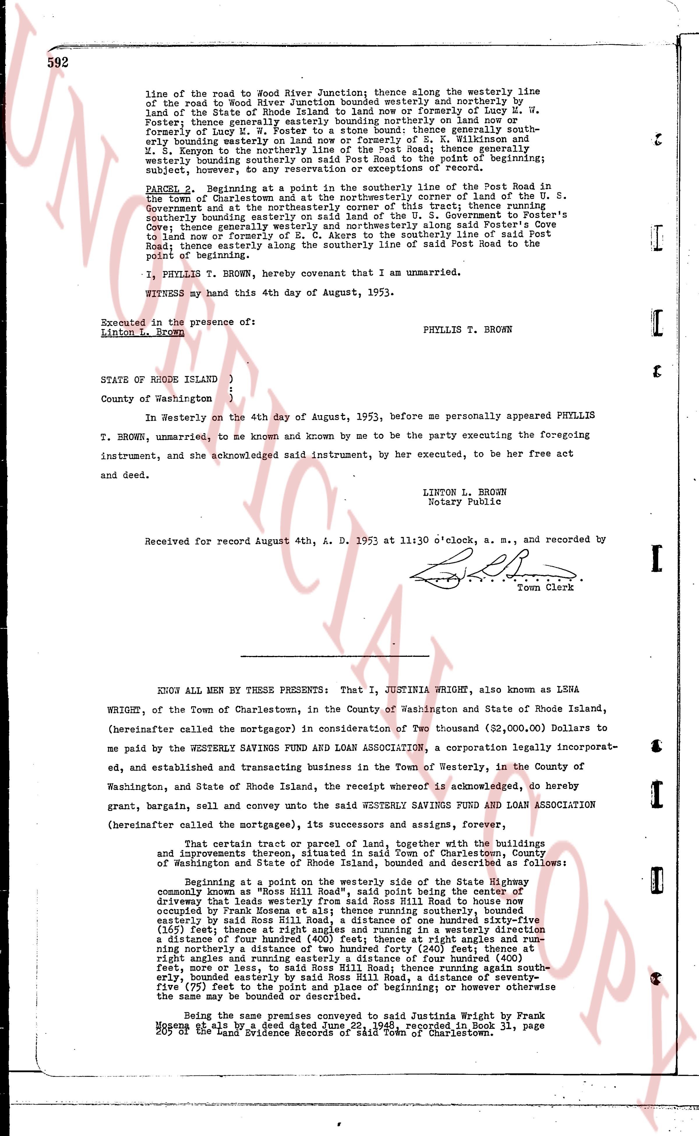
592
line of the road to Wood River Junction; thence along the westerly line of the road to Wood River Junction bounded westerly and northerly by land of Esther M. Maye a widow deceased late of one of her heirs or formerly of Leah M. Foster; thence generally easterly bounding generally northerly on land now or formerly of Lucy M. W. Foster to a stone bound; thence generally southerly bounding generally easterly on land now or formerly of B. W. Winship and M. S. Kenyon to the northerly line of the Post Road; thence generally westerly bounding generally southerly on land of Rufus K. Prosser to the point of beginning; subject, however, to any reservation or exceptions of record.
PARCELS 2. Beginning at a point in the southerly line of the Post Road in the town of Charlestown and being the south easterly corner of land of the U. S. Government and at the northeasterly corner of this tract; thence running southerly bounding generally easterly on land of the U. S. Government to the south easterly corner of Cove; thence generally westerly and northeasterly along said Foster's Cove Road; thence generally easterly of E. C. Akers to the southerly line of said Post Road; thence generally easterly along the southerly line of said Post Road to the point of beginning.
I, PHYLLIS T. BROWN, hereby covenant that I am unmarried.
WITNESS my hand this 4th day of August, 1953.
Executed in the presence of:
Linton L. Brown
PHYLLIS T. BROWN
STATE OF RHODE ISLAND )
County of Washington }
In Westerly on the 4th day of August, 1953, before me personally appeared PHYLLIS T. BROWN, unmarried, to me known and by me to be the party executing the foregoing instrument, and she acknowledged said instrument, by her executed, to be her free act and deed.
LINTON L. BROWN
Notary Public
Received for record August 4th, A. D. 1953 at 11:30 o'clock, a. m., and recorded by [?]
Town Clerk
----
KNOW ALL MEN BY THESE PRESENTS: That I, JUSTINIA WRIGHT, also known as LESNA WRIGHT, of the Town of Charlestown, in the County of Washington and State of Rhode Island, (hereinafter called the mortgagor) in consideration of Two thousand (32,000.00) Dollars to me paid by the WESTERLY SAVINGS FUND AND LOAN ASSOCIATION, a corporation legally incorporated, and established and transacting business in the Town of Westerly, in the County of Washington, and State of Rhode Island, the receipt whereof is acknowledged, do hereby grant, bargain, sell and convey unto the said WESTERLY SAVINGS FUND AND LOAN ASSOCIATION (hereinafter called the mortgagee), its successors and assigns, forever,
That certain tract or parcel of land, together with the buildings and improvements thereon situated in Town and Charlestown, county of Washington and State of Rhode Island, bounded and described as follows:
Beginning at a point on the westerly side of the State Highway commonly known as Ross Hill Road, said point being the center of driveway that leads from the said State Road Ross Hill Road to house now occupied by Ross Homans else et al; thence running southerly, bounded easterly by said land and driveway, a distance of one hundred fifty-three (153) feet; thence at right angles and running in a westerly direction a distance of four hundred fifty (450) feet; thence at right angles and running northerly a distance of two hundred forty (240) feet; thence at right angles and running easterly a distance of four hundred (400) feet; thence at right angles and running southerly a distance again south easterly, bounded easterly by said Ross Hill Road, a distance of seventy-five (75) feet to the point of beginning; or however otherwise the same may be bounded or described.
Being the same premises conveyed to said Justinia Wright by Frank Moseley by a deed dated June 23rd 1946, recorded in Book 31, page 105 of the Land Evidence Records of said Town of Charlestown.
The page as recorded