The instrument's own words
page 1 · read by Gemma vision
562
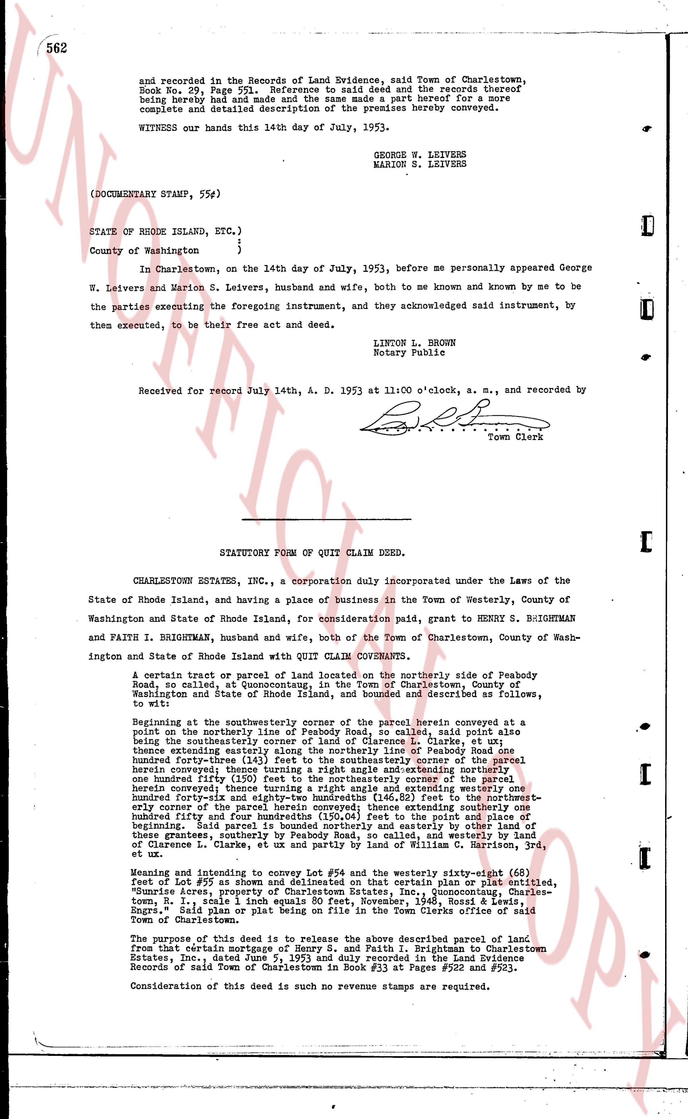
and recorded in the Records of Land Evidence, said Town of Charlestown, Book No. 29, Page 551. Reference to said deed and the records thereof being hereby had and reference made and the same made a part hereof for a more complete and contained description of the premises hereby conveyed.
WITNESS our hands this 14th day of July, 1953.
GEORGE W. LEIVERS
MARION S. LEIVERS
(DOCUMENTARY STAMP, 55#)
STATE OF RHODE ISLAND, ETC. }
County of Washington }
In Charlestown, on the 14th day of July, 1953, before me personally appeared George W. Leivers and Marion S. Leivers, husband and wife, both to me known and known by me to be the parties executing the foregoing instrument, and they acknowledged said instrument, by them executed, to be their free act and deed.
LINTON L. BROWN
Notary Public
Received for record July 14th, A. D. 1953 at 11:00 o'clock, a. m., and recorded by
[Signature]
Town Clerk
----
STATUTORY FORM OF QUIT CLAIM DEED.
CHARLESTOWN ESTATES INC., a corporation duly incorporated under the Laws of the State of Rhode Island, and having a place of business in the Town of Westerly, County of Washington and State of Rhode Island, for consideration paid, grant to HENRY S. BRIGHTMAN and FAITH I. BRIGHTMAN, husband and wife, both of the Town of Charlestown, County of Washington and State of Rhode Island with QUIT CLAIM COVENANTS.
A certain tract or parcel of land located on the northerly side of Peabody Road, so called, at Quonocutong, in the Town of Charlestown, County of Washington and State of Rhode Island, and bounded and described as follows, to wit:
Beginning at the southwestern corner of the parcel herein conveyed at a point on the northerly line of Peabody Road, so called, said point also being the southeasterly corner of the land of Clarence L. Clarke et al; thence extending easterly along the northerly line of Peabody Road one hundred forty-three (143) feet to the southeasterly corner of the parcel herein conveyed; thence turning a right angle and extending northerly one hundred ninety (190) feet to the northeasterly corner of the parcel herein conveyed; thence turning a right angle and extending westerly one hundred forty-three (143) feet to the northwestern corner of the parcel herein conveyed; thence extending southerly one hundred ninety (190) feet to the point of beginning. Said parcel is bounded northerly and easterly by other land of these grantors, southerly by Peabody Road, so called, and westerly by land of Clarence L. Clarke, et al and partly by land of William C. Harrison, Jr, etc.
Meaning and intending to convey Lot #59 and the westerly sixty-eight (68) feet of Lot #57 as shown and delineated on that certain plan or plat entitled, "Sunrise Acres, property of Charlestown Estates, Inc. Quonocutong, Charlestown, R.I. scale 1" = 100' dated August, 1943, Bassett & Lewis, Land Engrs." Said plan or plat being on file in the Town Clerks office of said Town of Charlestown.
The purpose of this deed is to release the above described parcel of land from that certain mortgage of Henry S. and Faith I. Brightman to Charlestown Estates, Inc. dated July 5, 1953 and duly recorded in the Land Evidence Records of said Town of Charlestown in Book #33 at Pages #522 and #523.
Consideration of this deed is such no revenue stamps are required.
page 2 · read by Gemma vision
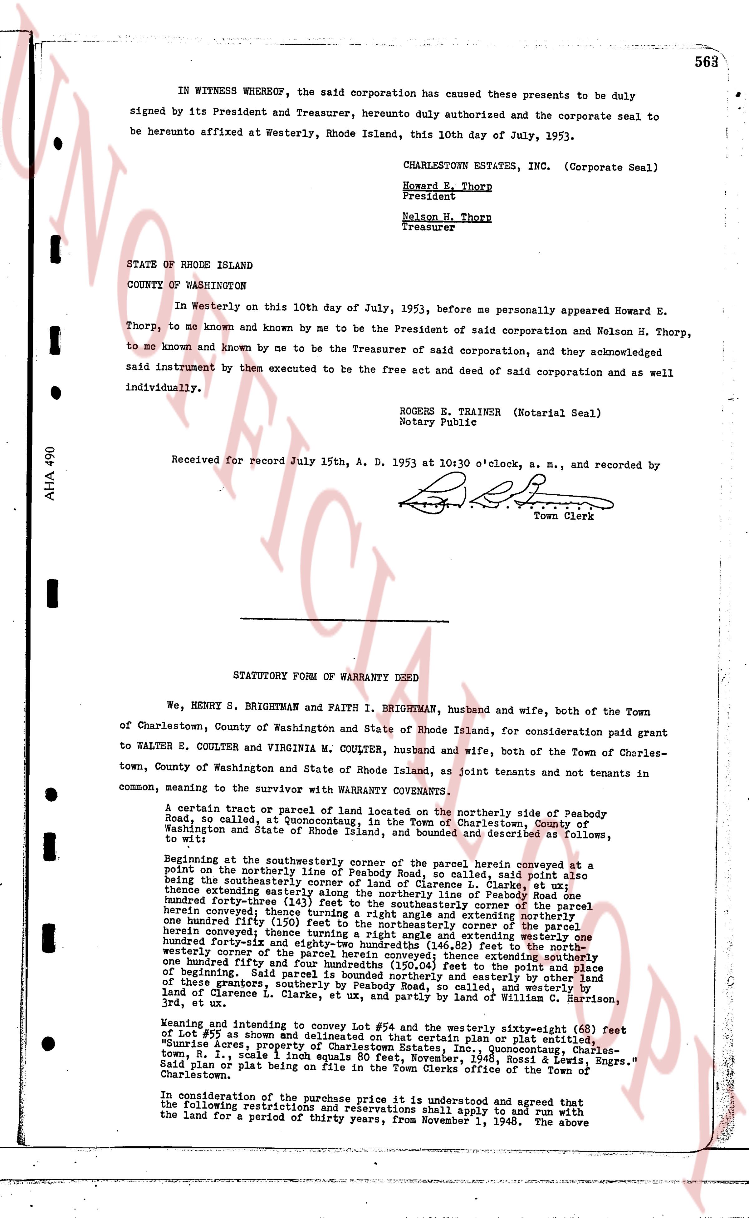
IN WITNESS WHEREOF, the said corporation has caused these presents to be duly signed by its President and Treasurer, hereunto duly authorized and the corporate seal to be hereunto affixed at Westerly, Rhode Island, this 10th day of July, 1953.
CHARLESTOWN ESTATES, INC. (Corporate Seal)
Howard E. Thorp
President
Nelson H. Thorp
Treasurer
STATE OF RHODE ISLAND
COUNTY OF WASHINGTON
In Westerly on this 10th day of July, 1953, before me personally appeared Howard E. Thorp, to me known and known by me to be the President of said corporation and Nelson H. Thorp, to me known and known by me to be the Treasurer of said corporation, and they acknowledged said instrument by them executed to be the free act and deed of said corporation and as well individually.
ROGERS E. TRAINER (Notarial Seal)
Notary Public
Received for Record July 15th, A. D. 1953 at 10:30 o'clock, a. m., and recorded by [signature] Town Clerk
----
STATUTORY FORM OF WARRANTY DEED
We, HENRY S. BRIGHTMAN and FAITH I. BRIGHTMAN, husband and wife, both of the Town of Charlestown, County of Washington and State of Rhode Island, for consideration paid grant to WALTER E. COULTER and VIRGINIA M. COULTER, husband and wife, both of the Town of Charlestown, County of Washington and State of Rhode Island, as joint tenants and not tenants in common, meaning to the survivor with WARRANTY COVENANTS.
A certain tract or parcel of land located on the northerly side of Peabody Road, so called, at Quonochontoug, in the Town of Charlestown, County of Washington and State of Rhode Island, and bounded and described as follows, to wit:
Beginning at the southeasterly corner of the parcel herein conveyed at the point on the northerly line of Peabody Road, so called, said point also being the southeasterly corner of the land of Clarence L. Clarke, et al; said point also extending easterly along the northerly line of Peabody Road one hundred forty-three (143) feet to the northeasterly corner of the parcel herein conveyed; thence turning a right angle and extending northerly one hundred ninety-five (195) feet to the northeasterly corner of the parcel herein conveyed; thence turning a right angle and extending westerly one hundred ninety-five (195) feet (or 64.25 feet to the point of beginning) to the northwestern corner of the parcel herein conveyed; thence extending southerly one hundred forty-three (143) feet to the point of beginning; said parcel is bounded northerly and easterly by other land of these grantors, southerly by Peabody Road, so called, and westerly by land of Clarence L. Clarke, et al, and partly by land of William G. [?] and [?], 3rd, et al.
Meaning and intending to convey Lot #94 and the westerly sixty-eight (68) feet of Lot #95 as shown and delineated on that certain plan or plat entitled, "Quonochontoug Survey, showing boundaries, etc. Quonochontoug, Charlestown, Town R. I., scale 1 inch equals 80 feet, November, 1948, Rhode Island Engrs." Said plan or plat being on file in the Town Clerks office of the Town of Charlestown.
In consideration of the purchase price it is understood and agreed that the following restrictions and reservations shall apply to and run with the land for a period of thirty years, from November 1, 1948. The above
The page as recorded