The instrument's own words
page 1 · read by Gemma vision
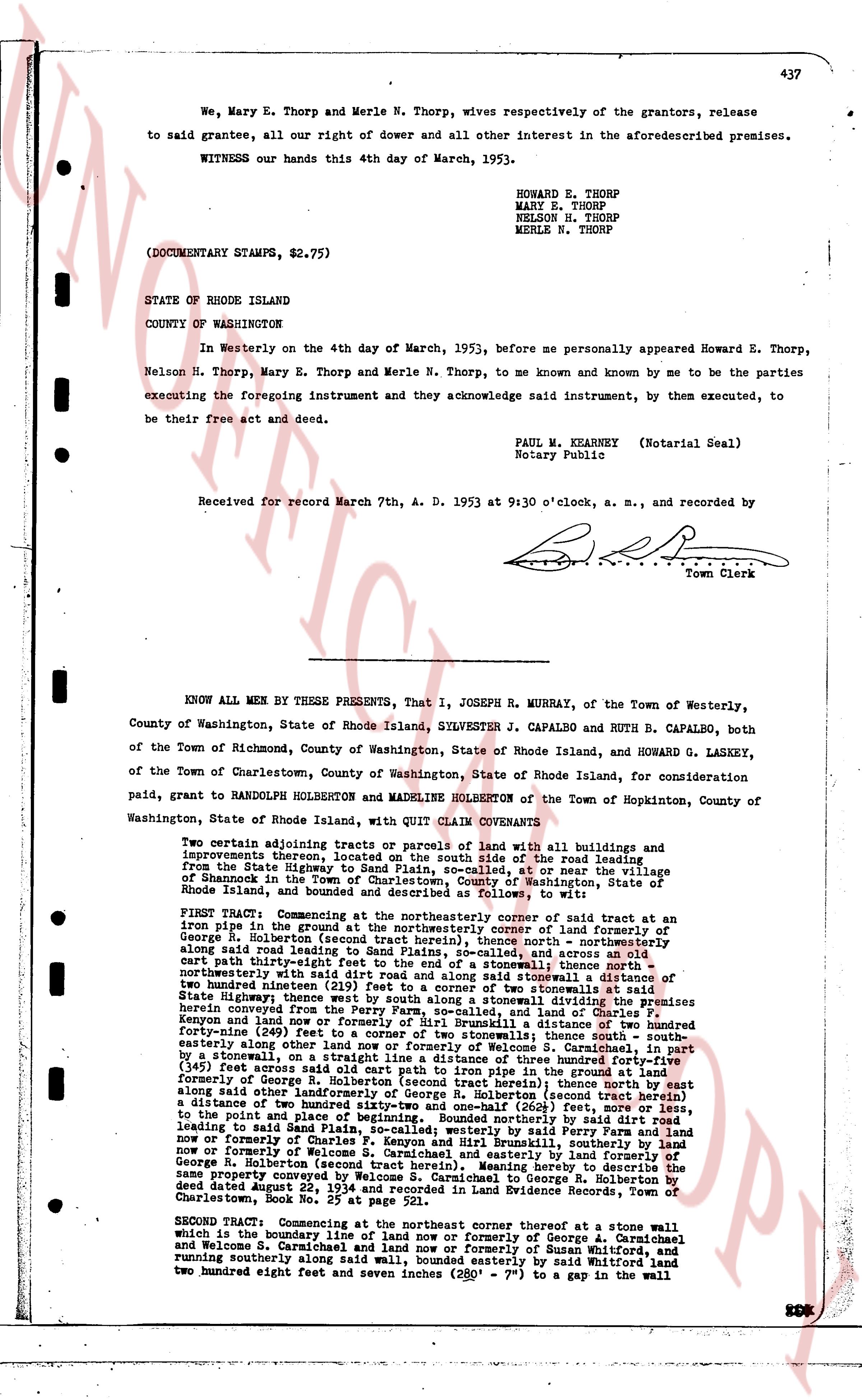
We, Mary E. Thorp and Merle N. Thorp, wives respectively of the grantors, release
to said grantees, all our right of dower and all other interest in the aforesaid premises.
WITNESS our hands this 4th day of March, 1953.
HOWARD E. THORP
MARY E. THORP
NELSON H. THORP
MERLE N. THORP
(DOCUMENTARY STAMPS, $2.75)
STATE OF RHODE ISLAND
COUNTY OF WASHINGTON
In Westerly on the 4th day of March, 1953, before me personally appeared Howard E. Thorp,
Nelson H. Thorp, Mary E. Thorp and Merle N. Thorp, to me known and by me to be the parties
executing the foregoing instrument and they acknowledge said instrument, by them executed, to
be their free act and deed.
PAUL M. KEARNEY (Notarial Seal)
Notary Public
Received for record March 7th, A. D. 1953 at 9:30 o'clock, a. m., and recorded by
[signature]
Town Clerk
----
KNOW ALL MEN BY THESE PRESENTS, that I, JOSEPH R. MURRAY, of the Town of Westerly,
County of Washington, State of Rhode Island, SYLVESTER J. CAPALBO and RUTH B. CAPALBO, both
of the Town of Richmond, County of Washington, State of Rhode Island, and HOWARD G. LASKEY,
of the Town of Charlestown, County of Washington, State of Rhode Island, for consideration paid,
grant to RANDOLPH HOLBERTON and MADELINE HOLBERTON of the Town of Hopkinton, County of
Washington, State of Rhode Island, with QUIT CLAIM COVENANTS
Two adjoining tracts or parcels of land with all buildings and improvements thereon, located on the south side of the road leading from the State Highway, to South County Plain, so-called, at or near the village
of Shannock in the Town of Charlestown, County of Washington, State of Rhode Island, and bounded and described as follows, to wit:
FIRST TRACT: Commencing at the northeasterly corner of said tract at an iron pipe in the ground and running by the easterly edge of land of formerly of
George R. Holberton (second tract herein), thence north northeasterly along said road leading to South County Plain, and across said street
cart path thirty-eight feet (38') to the edge of a stonewall, thence north northeasterly along said road leading to South County Plain, a distance of
two hundred ninety-one (291) feet to a corner of two stonewalls at said
State Highway, thence south easterly by said Ferry Road from the State Highway herein converged on the Ferry Farm, so-called, and land of Charles F.
Keyson and land now and then owned by said Ferry Farm, a distance of two hundred
forty-nine (249) feet to a corner of two stonewalls; thence south south-
easterly along other land to the boundary line of Welcome S. Carmichael, in part
by a stonewall, on a straight line to a distance of three hundred forty-four (344)
feet from a stonewall and cart path into iron pipe in the ground in land formerly
of George R. Holberton (second tract herein); thence north north easterly along
said point along easterly side of formerly George R. Holberton (second tract herein) a
distance of two hundred eighty-four feet (284') to an iron pipe in the ground,
to the point and place of beginning. Bounded northerly by said road leading
to South County Plain, thence easterly by land of Ferry Farm, so-called, and land
now or formerly of Charles F. Keyson and Henry B. Russell, southerly by land
now or formerly of Welcome S. Carmichael and land formerly of George R. Holberton (second tract herein). Meaning to hereby describe the same
property conveyed to me by deed dated August 22, 1954 and recorded in Land Evidence Book 32,
Charlestown Book No. 32, page 111.
SECOND TRACT: Commencing at the northeast corner thereof at a stonewall which
is the boundary line of land now or formerly of George A. Carmichael
and Welcome S. Carmichael and land now or formerly of Susan Whitford, and
running southerly along a line between said Carmichael estate by said Whitford, and
two hundred eight feet seven inches (208' 7") to a gap in the wall in the
page 2 · read by Gemma vision
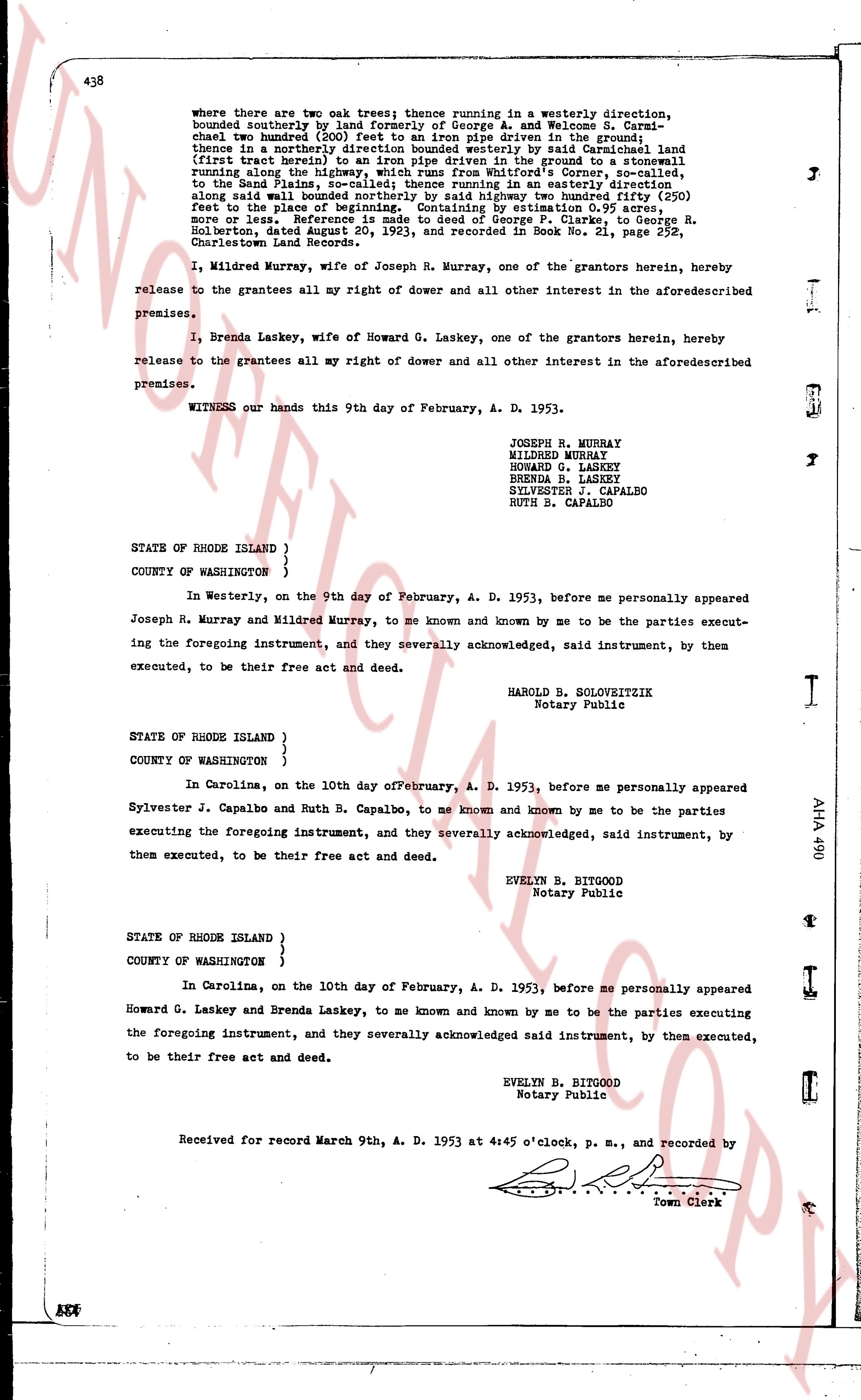
438
where there are two oak trees; thence running in a westerly direction, bounded southerly by land formerly of George A. and Welcome S. Carmichael; thence northerly 100 feet; thence running in the ground line thence in a northerly direction bounded westerly by said Careinshead land (first tract herein), to an iron pipe driven in the ground to a stonewall running along the highway from Charlestown to North Kingstown; thence running in an easterly direction along said wall to the highway from Charlestown to North Kingstown, 100 feet, to the Band Plains, so called; thence running in an easterly direction along said wall to the highway from Charlestown to North Kingstown, 100 feet, to the place of beginning. Containing by estimation 0.95 acres, more or less. Reference is made to a deed from George F. Clarke to George R. Holberton, dated August 20, 1923, and recorded in Book No. 21, page 257, Charlestown Land Records.
I, Mildred Murray, wife of Joseph R. Murray, one of the grantors herein, hereby release to the grantees all my right of dower and all other interest in the aforesaid described premises.
I, Brenda Laskey, wife of Howard G. Laskey, one of the grantors herein, hereby release to the grantees all my right of dower and all other interest in the aforesaid described premises.
WITNESS our hands this 9th day of February, A. D. 1953.
JOSEPH R. MURRAY
MILDRED MURRAY
HOWARD G. LASKEY
BRENDA B. LASKEY
SYLVESTER J. CAPALBO
RUTH B. CAPALBO
STATE OF RHODE ISLAND }
COUNTY OF WASHINGTON }
In Westerly, on the 9th day of February, A. D. 1953, before me personally appeared Joseph R. Murray and Mildred Murray, to me known and known by me to be the parties executing the foregoing instrument, and they severally acknowledged, said instrument, by them executed, to be their free act and deed.
HAROLD B. SOLOVEITZEK
Notary Public
STATE OF RHODE ISLAND }
COUNTY OF WASHINGTON }
In Carolina, on the tenth day of February, A. D. 1953, before me personally appeared Sylvester J. Capalbo and Ruth B. Capalbo, to me known and known by me to be the parties executing the foregoing instrument, and they severally acknowledged, said instrument, by them executed, to be their free act and deed.
EVELYN B. BITGOOD
Notary Public
STATE OF RHODE ISLAND }
COUNTY OF WASHINGTON }
In Carolina, on the 10th day of February, A. D. 1953, before me personally appeared Howard G. Laskey and Brenda Laskey, to me known and known by me to be the parties executing the foregoing instrument, and they severally acknowledged said instrument, by them executed, to be their free act and deed.
EVELYN B. BITGOOD
Notary Public
Received for record March 9th, A. D. 1953 at 4:45 o'clock, p. m., and recorded by
[Signature]
Town Clerk
The page as recorded