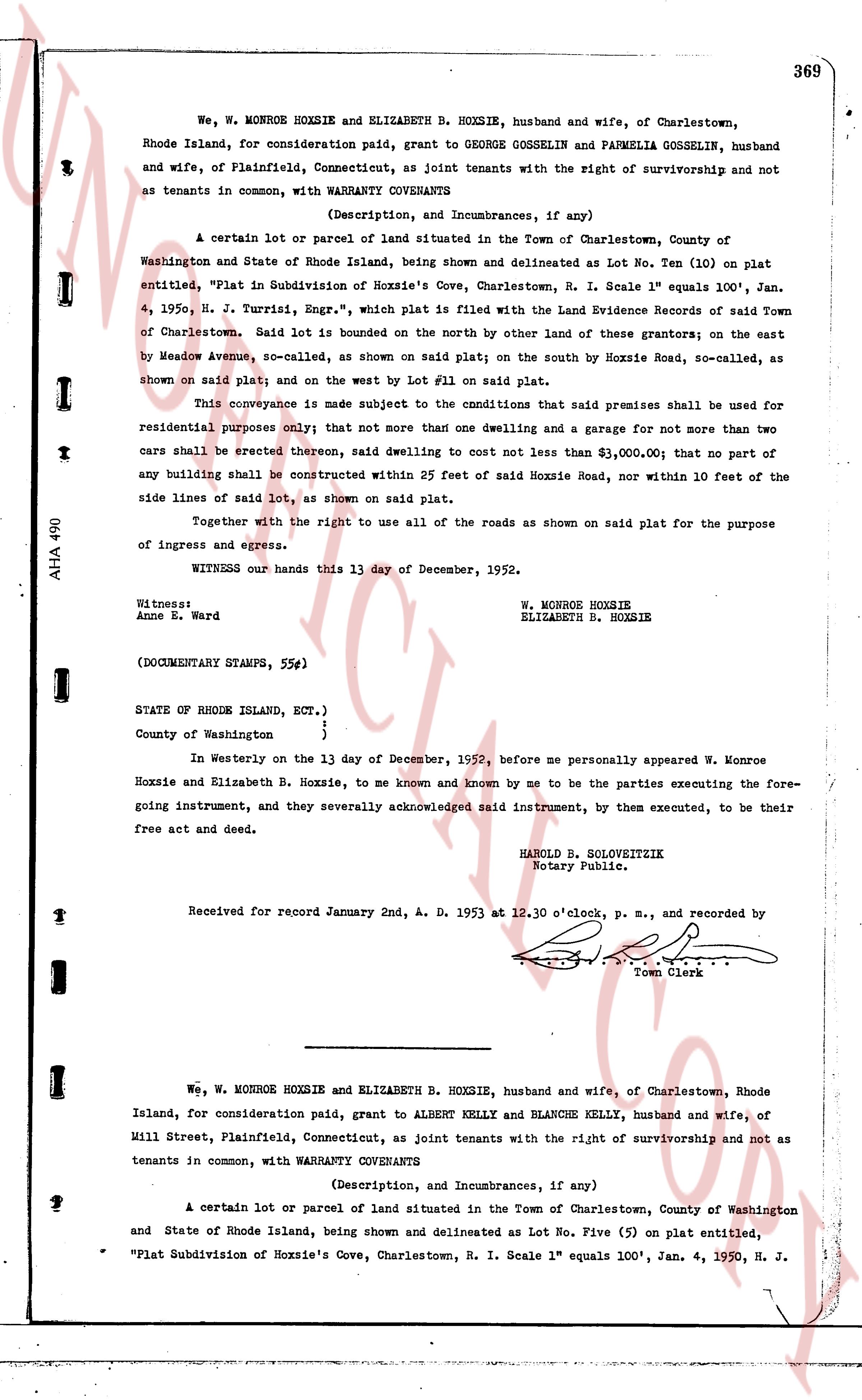
The instrument's own words
page 1 · read by Gemma vision
369
We, W. MONROE HOXSIE and ELIZABETH B. HOXSIE, husband and wife, of Charlestown, Rhode Island, for consideration paid, grant to GEORGE GOSSELIN and PARMELIA GOSSELIN, husband and wife, of Plainfield, Connecticut, as joint tenants with the right of survivorship and not as tenants in common, with WARRANTY COVENANTS
(Description, and Incumbrances, if any)
A certain lot or parcel of land situated in the Town of Charlestown, County of Washington and State of Rhode Island, being shown and delineated as Lot No. Ten (10) on plat entitled, "Plat in Subdivision of Hoxsie's Cove, Charlestown, R. I. Scale 1" equals 100', Jan. 4, 1950, N. H. Jurristizi, Engr.", which plat is filed with the Land Evidence Records of said Town of Charlestown. said Lot is bounded on the north by other land of these grantors; on the east by Meadow Avenue, so-called, as shown on said plat; on the south by Hoxsie Road, so-called, as shown on said plat; and on the west by Lot #1 on said plat.
This conveyance is made subject to the conditions that said premises shall be used for residential purposes only; that not more than one dwelling and a garage for not more than two cars shall be erected thereon, said dwelling to cost not less than $3,000.00; that no part of any building shall be constructed within 25 feet of said Hoxsie Road, nor within 10 feet of the side lines of said lot, as shown on said plat.
Together with the right to use all of the roads as shown on said plat for the purpose of ingress and egress.
WITNESS our hands this 13 day of December, 1952.
Witness:
Anne B. Ward
W. MONROE HOXSIE
ELIZABETH B. HOXSIE
(DOCUMENTARY STAMPS, 55¢)
STATE OF RHODE ISLAND, ECT.)
County of Washington }
In Westerly on the 13 day of December, 1952, before me personally appeared W. Monroe Hoxsie and Elizabeth B. Hoxsie, to me known and known by me to be the parties executing the foregoing instrument, and they severally acknowledged said instrument, by them executed, to be their free act and deed.
HAROLD B. SOLOVEITZIK
Notary Public.
Received for record January 2nd, A. D. 1953 at 12.30 o'clock, p. m., and recorded by
[Signature]
Town Clerk
----
We, W. MONROE HOXSIE and ELIZABETH B. HOXSIE, husband and wife, of Charlestown, Rhode Island, for consideration paid, grant to ALBERT KELLY and BLANCHE KELLY, husband and wife, of Mill Street, Plainfield, Connecticut, as joint tenants with the right of survivorship and not as tenants in common, with WARRANTY COVENANTS
(Description, and Incumbrances, if any)
A certain lot or parcel of land situated in the Town of Charlestown, County of Washington and State of Rhode Island, being shown and delineated as Lot No. Five (5) on plat entitled, "Flat Subdivision of Hoxsie's Cove, Charlestown, R. I. Scale 1" equals 100', Jan. 4, 1950, N. H. J.
The page as recorded