The instrument's own words
page 1 · read by Gemma vision
158
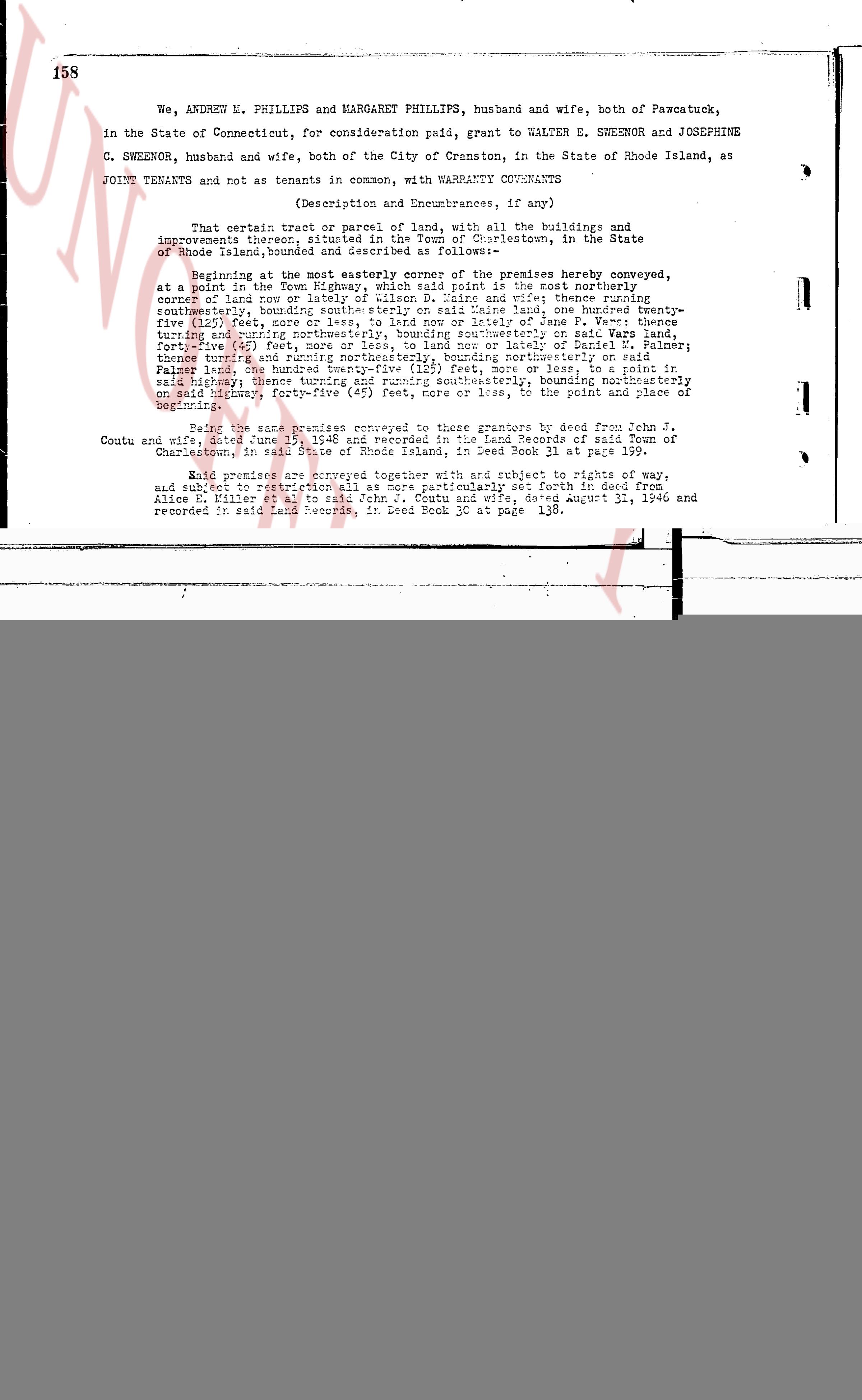
We, ANDREW L. PHILLIPS and MARGARET PHILLIPS, husband and wife, both of Pawcatuck, in the State of Connecticut, for consideration paid, grant to WALTER E. SWEENOR and JOSEPHINE C. SWEENOR, husband and wife, both of the City of Cranston, in the State of Rhode Island, as JOINT TENANTS and not as tenants in common, with WARRANTY COVENANTS
(Description and Encumbrances, if any)
That certain tract or parcel of land, with all the buildings and improvements thereon, situated in the Town of Charlestown, in the State of Rhode Island, bounded and described as follows:—
Beginning at the most easterly corner of the premises hereby conveyed, at a point in the Town Highway, thence running north 45° east the coast northerly, corner of land now or late of Wilson D. Eaire and thence running northeasterly, boundary of said Eaire land, to a point marked by a nail embedded twenty-five (25) feet, more or less, to land now or lately of James P. Ware; thence running northwesterly, boundary of said Ware land, to a point marked by a nail embedded forty-five (45) feet, more or less, to land now or lately of Daniel N. Palmer; thence turning and running northwesterly, boundary of said Palmer land, to a point marked by a nail embedded northwesterly or southwesterly, boundary of said Palmer land, one hundred twenty-five (125) feet, more or less, to a point in said highway; thence turning and running southwesterly, in said highway, to the point of beginning.
Being the same premises conveyed to these grantors by deed from John Coutu and wife dated June 15, 1948 and recorded in the Land Records of said Town of Charlestown, in said State of Rhode Island, in Deed Book 31 at page 199.
Said premises are conveyed together with and subject to rights of way, and subject to restrictions set forth in deed from Emily, Sarah and Alice E. Miller et al to said John J. Coutu and wife, dated August 31, 1946 and recorded in said Land Records, in Deed Book 30 at page 138.
The page as recorded