The instrument's own words
page 1 · read by Gemma vision
172
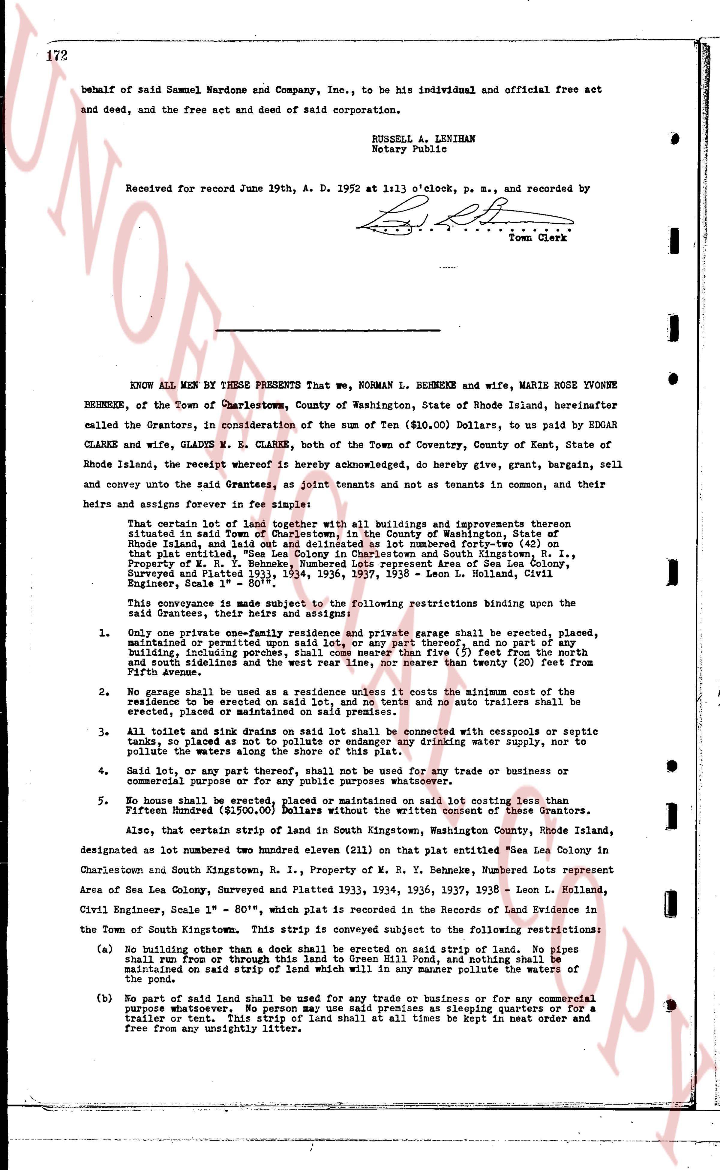
behalf of said Samuel Nardone and Company, Inc., to be his individual and official free act and deed, and the free act and deed of said corporation.
RUSSELL A. LENIHAN
Notary Public
Received for record June 19th A. D. 1952 at 1:13 o'clock, p. m., and recorded by
[signature]
Town Clerk
----
KNOW ALL MEN BY THESE PRESENTS That we, NORMAN L. BEHNEKE and wife, MARIE ROSE YVONNE BEHNEKE, of the Town of Charlestown, County of Washington, State of Rhode Island, hereinafter called the Grantors, in consideration of the sum of Ten ($10.00) Dollars, to us paid by EDGAR CLARKE and wife, GLADYS M. E. CLARKE, both of the Town of Coventry, County of Kent, State of Rhode Island, the receipt whereof is hereby acknowledged, do hereby give, grant, bargain, sell and convey unto the said Grantees, as joint tenants and not as tenants in common, and their heirs and assigns forever in fee simple:
That certain lot of land together with all buildings and improvements thereon situated in said Town of Charlestown, in the County of Washington, State of Rhode Island, and laid out as delineated on a map embodied nearby on p. 161, that entitled "S.E. Corner of Lot 100, Charlestown and South Kingstown, R. I., Property of M. R. Y. Behneke, Numbered Lots represent Area of Sea Lea Colony, Surveyed and platted Time 1934, 1936, 1937, 1938 - Leon L. Hollan, Civil Engineer, Scale 1" = 80'",
This conveyance is made subject to the following restrictions binding upon the said Grantees, their heirs and assigns forever:
1. Only one private one-story residence and private garage shall be erected, placed, maintained or permitted upon said lot, or any part thereof, and no part of any building, including porches, shall come nearer than five (5) feet from the north and south lines and no part of any building nearer than twenty (20) feet from Fifth Avenue.
2. No garage shall be used as a residence unless it costs the minimum cost of the residence to be erected on said lot, and no tents no auto trailers shall be erected, placed or maintained on said premises.
3. All toilet and sink drains on said lot shall be connected with cesspools or septic tanks so placed as not to pollute any nearby drinking water supply, nor to pollute the waters along the shore of this plat.
4. Said lot, or any part thereof, shall not be used for any trade or business or commercial purpose or for any public purposes whatsoever.
5. No sale shall be made nor conveyance executed on said lot costing less than Fifteen Hundred ($1500.00) Dollars without the written consent of these Grantors.
Also, that certain strip of land in said South Kingstown, Washington County, Rhode Island, designated as one lot numbered two hundred eleven (211) on that plat entitled "Sea Lea Colony in Charlestown and South Kingstown, R. I., Property of M. R. Y. Behneke, Numbered Lots represent Area of Sea Lea Colony, Surveyed and Platted 1934, 1936, 1937, 1938 - Leon L. Hollan, Civil Engineer, Scale 1" = 80'", which plot is recorded in the Records of Land Evidence in the Town of South Kingstown. This strip is conveyed subject to the following restrictions:
(a) No building other than a dock shall be erected on said strip of land. No pipes shall run from or through this land to Green Hill Pond, and nothing shall be maintained on said strip of land which will in any manner pollute the waters of said Pond.
(b) No part of said land shall be used for any trade or business or for any commercial purpose whatsoever. No person may use said premises as sleeping quarters or for a trailer or tent. But the strip of land shall be kept in neat order and free from any unsightly litter.
The page as recorded