The instrument's own words
page 1 · read by Gemma vision
165
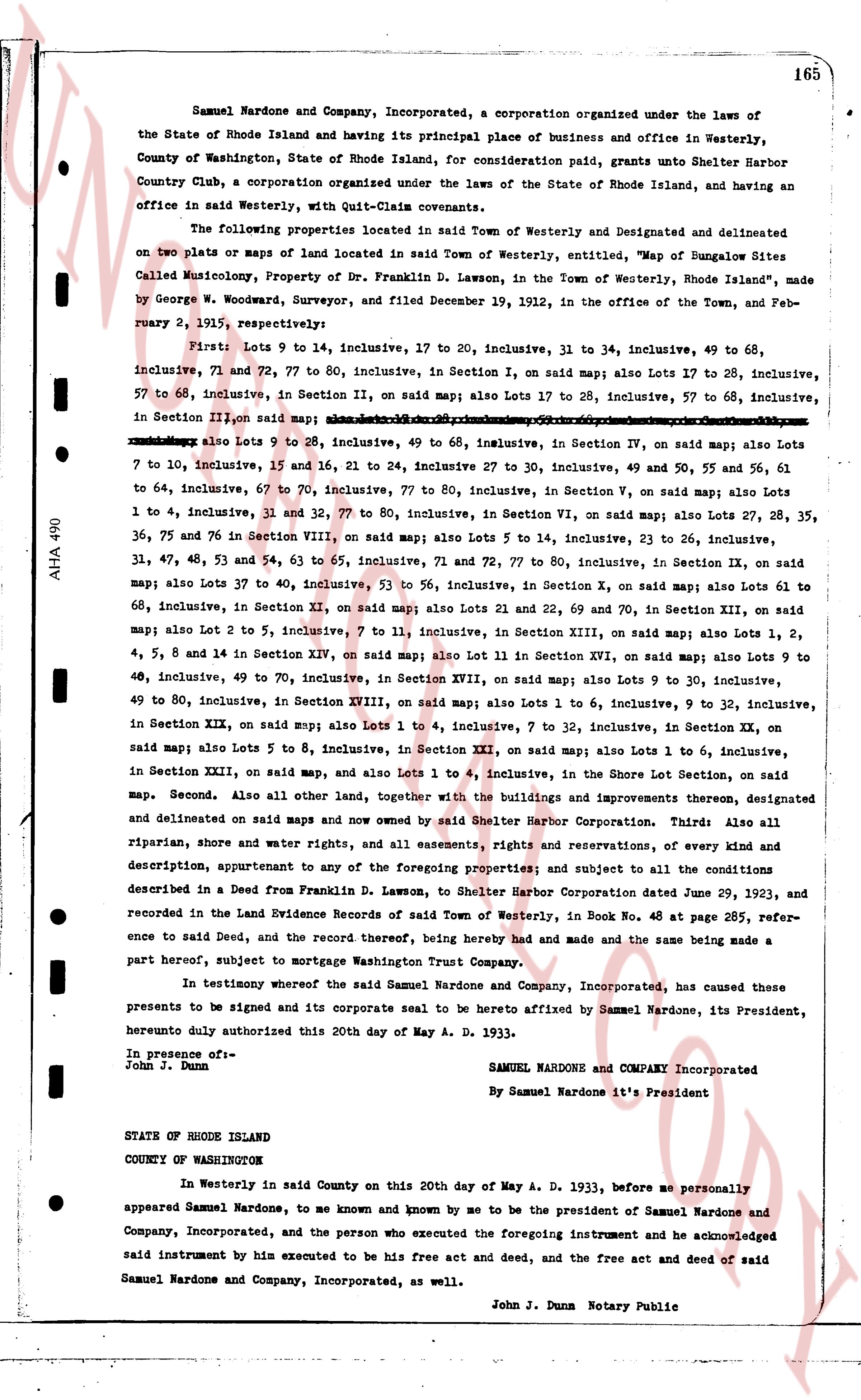
Samuel Nardone and Company, Incorporated, a corporation organized under the laws of the State of Rhode Island and having its principal place of business and office in Westerly, County of Washington, State of Rhode Island, for consideration paid, grants unto Shelter Harbor Country Club, a corporation organised under the laws of the State of Rhode Island, and having an office in said Westerly, with Quit-Claim covenants.
The following properties located in said Town of Westerly and delineated and delineated on two plats or maps of land located in said Town of Westerly, entitled "Map of Bungalow Sites Called Musicology, Property of Dr. Franklin D. Lawson, in the Town of Westerly, Rhode Island", made by George W. Woodward, Surveyor, and filed December 19, 1912, in the office of the Town, and February 9, 1915, respectively:
First: Lots 9 to 14 inclusive, 17 to 20, inclusive, 31 to 34, inclusive, 49 to 68, inclusive, 71 and 72, 77 to 80, inclusive, in Section I, on said map; also Lots 17 to 28, inclusive, 57 to 68, inclusive, in Section II, on said map; also Lots 27 to 28, inclusive, 57 to 68, inclusive, in Section III on said map; also Lots 1 to 10, inclusive, 15 to 20, inclusive, 25 to 28, inclusive, 30 to 34, inclusive, 49 to 68, inclusive, 71 to 80, inclusive, in Section IV, on said map; also Lots 1 to 7, inclusive, 10 to 15, inclusive, 16 and 21 to 24, inclusive 27 to 30, inclusive, 49 and 50, 55 and 56, 61 to 64, inclusive, 67 to 70, inclusive, 77 to 80, inclusive, in Section V, on said map; also Lots 1 to 4, inclusive, 31 and 32, 77 to 80, inclusive, in Section VI, on said map; also Lots 27, 28, 35, 36, 75 and 76 in Section VIII, on said map; also Lots 5 to 14, inclusive, 23 to 26, inclusive, 31, 37, 48, 53 and 54, 63 to 65, inclusive, 71 and 72, 77 to 80, inclusive, in Section IX, on said map; also Lots 37 to 59, inclusive, 53 to 56, inclusive, in Section X, on said map; also Lots 61 to 68, inclusive, in Section XI, on said map; also Lots 21 and 22, 69 and 70, in Section XII, on said map; also Lot 2 to 5, inclusive, 7 to 11, inclusive, in Section XIII, on said map; also Lots 1, 2, 4, 5, 8 and 14 in Section XIV, on said map; also Lot 11 in Section XV, on said map; also Lots 9 to 30, inclusive, 40 to 49, inclusive, 49 to 70, inclusive, in Section XVII, on said map; also Lots 9 to 30, inclusive, 49 to 80, inclusive, in Section XVIII, on said map; also Lots 1 to 6, inclusive, 9 to 32, inclusive, in Section XIX, on said map; also Lots 1 to 4, inclusive, 7 to 32, inclusive, in Section XX, on said map; also Lots 5 to 8, inclusive, in Section XXI, on said map; also Lots 1 to 6, inclusive, in Section XXII, on said map, and also Lots 1 to 4, inclusive, in the Shore Lot Section, on said map.
Second. Also all other land, together with the buildings and improvements thereon, designated and delineated on said maps and now owned by said Shelter Harbor Corporation. Third: Also all riparian, shore and water rights, and all easements, rights and reservations, of every kind and description, appurtenant to any of the foregoing properties; and subject to all the conditions described in a Deed from Franklin D. Lawson, to Shelter Harbor Corporation dated June 29, 1923, and recorded in the Land Evidence Records of said Town of Westerly, in Book No. 48 at page 265, reference to said Deed, and the record thereof, being hereby had and made and the same being made a part hereof, subject to mortgage Washington Trust Company.
In testimony whereof the said Samuel Nardone and Company, Incorporated, has caused these presents to be signed and its corporate seal to be hereto affixed by Samuel Nardone, its President, hereunto duly authorized this 20th day of May A. D. 1933.
In presence of:
John J. Dunn
SAMUEL NARDONE and COMPANY Incorporated
By Samuel Nardone it's President
STATE OF RHODE ISLAND
COUNTY OF WASHINGTON
In Westerly in said County on this 20th day of May A. D. 1933, before me personally appeared Samuel Nardone, to me known and known by me to be the president of Samuel Nardone and Company, Incorporated, and the person who executed the foregoing instrument and he acknowledged said instrument by him executed to be his free act and deed, and the free act and deed of said Samuel Nardone and Company, Incorporated, as well.
John J. Dunn Notary Public
The page as recorded