The instrument's own words
page 1 · read by Gemma vision
155
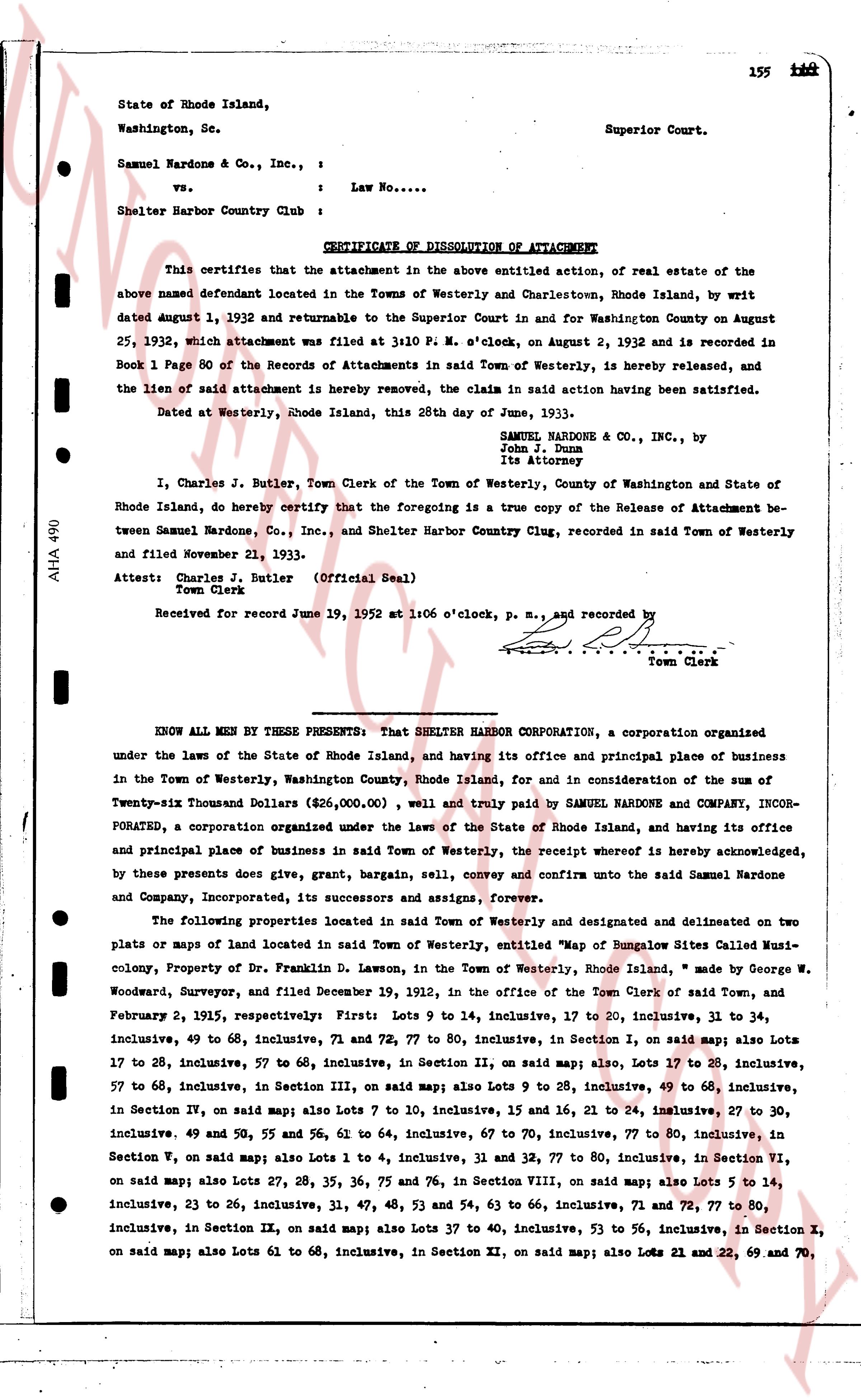
State of Rhode Island,
Washington, Sc.
Superior Court.
Samuel Nardone & Co., Inc., :
vs. : Law No....
Shelter Harbor Country Club :
CERTIFICATE OF DISSOLUTION OF ATTACHMENT
This certifies that the attachment in the above entitled action, of real estate of the
above named defendant located in the Towns of Westerly and Charlestown, Rhode Island, by writ
dated August 1, 1932 and returnable to the Superior Court and in favor Washington County on August
25, 1932, which attachment was filed at 3:10 P. M., on August 2, 1932 and is recorded in
Book 1 Page 80 of the Records of Attachments in said Town of Westerly, is hereby released, and
the lien of said attachment is hereby removed, the claim in said action having been satisfied.
Dated at Westerly, Rhode Island, this 28th day of June, 1933.
SAMUEL NARDONE & CO., INC., by
John J. Duma
its attorney
I, Charles J. Butler, Town Clerk of the Town of Westerly, County of Washington and State of
Rhode Island, do hereby certify that the foregoing is a true copy of the Release of Attachment be-
tween Samuel Nardone, Co., Inc., and Shelter Harbor Country Club, recorded in said Town of Westerly
and filed November 21, 1933.
Attest: Charles J. Butler (Official Seal)
Town Clerk
Received for record June 19, 1952 at 1:06 o'clock, P. M., and recorded by [?]
Town Clerk
KNOW ALL MEN BY THESE PRESENTS: That SHELTER HARBOR CORPORATION, a corporation organized
under the laws of the State of Rhode Island, and having its office and principal place of business
in the Town of Westerly Dollars, Washington County, Rhode Island, for and in consideration of the sum of the
Twenty-six Thousand Dollars ($\$26,000.00$), well and truly paid to SAMUEL NARDONE AND COMPANY, INCOR-
PORATED, a corporation organized under the laws of the State of Rhode Island, and having its office
and principal place of business in said Town of Westerly, the receipt whereof is hereby acknowledged,
by these presents does give, grant, bargain, sell, convey and confirm unto the said Samuel Nardone
and Company, Incorporated, its successors and assigns, forever.
The following properties located in said Town of Westerly and designated and delineated on two
plats or maps of land located in said Town of Westerly, entitled "Map of Bungalows Sites Called Musi-
colony, Property of Dr. Franklin D. Lawson, in the Town of Westerly, Rhode Island," made by George W.
Woodward, Surveyore, and filed December 19, 1912, in the office of the Town Clerk of said Town, and
February 2, 1915, respectively: First Lots 9 to 14, inclusive, 17 to 20, inclusive, 31 to 34,
inclusive, 49 to 68, inclusive, 71 and 72, 77 to 80, inclusive, in Section I, on said map; also Lots 17
to 28, inclusive, 57 to 68, inclusive, in Section II, on said map; also Lots 17 to 28, inclusive,
57 to 68, inclusive, in Section III, on said map; also Lots 9 to 28, inclusive, 49 to 68, inclusive,
in Section IV, on said map; also Lots 2 to 10, inclusive, 15 and 16, 21 to 24, inclusive, 27 to 30,
inclusive, 49 and 50, 55 and 56, 61 to 64, inclusive, 67 to 70, inclusive, 77 to 80, inclusive, in
Section V, on said map; also Lots 1 to 4, inclusive, 31 and 32, 77 to 80, inclusive, in Section VI,
on said map; also Lots 27, 28, 35, 38, 55, 63 and 75, 76 in Section VIII, on said map; also Lots 5 to 14,
inclusive, 23 to 26, inclusive, 31, 37, 41, 48, 53 and 54, 63 to 66, inclusive, 71 and 72, 77 to 80,
inclusive, in Section IX, on said map; also Lots 37 to 40, inclusive, 53 to 56, inclusive, in Section X,
on said map; also Lots 61 to 68, inclusive, in Section XI, on said map; also Lots 21 and 22, 69 and 70,
The page as recorded