The instrument's own words
page 1 · read by Gemma vision
KNOW ALL MEN BY THESE PRESENTS, that I, ALFRED J. RICHARD, widower, of the Town of
Richmond, County of Washington and State of Rhode Island, for consideration paid, grant to
MILTON DUCKWORTH, of the Town of Charlestown, County of Washington and State of Rhode Island,
with WARRANTY COVENANTS
That certain real estate situated in the Town of Charlestown, County of Washington,
in the State of Rhode Island, and described as follows:
Commencing at a drill hole in the foundation of the old wall and in the southerly
line of land of the Roman Catholic Church [?] hundred nine and [?]
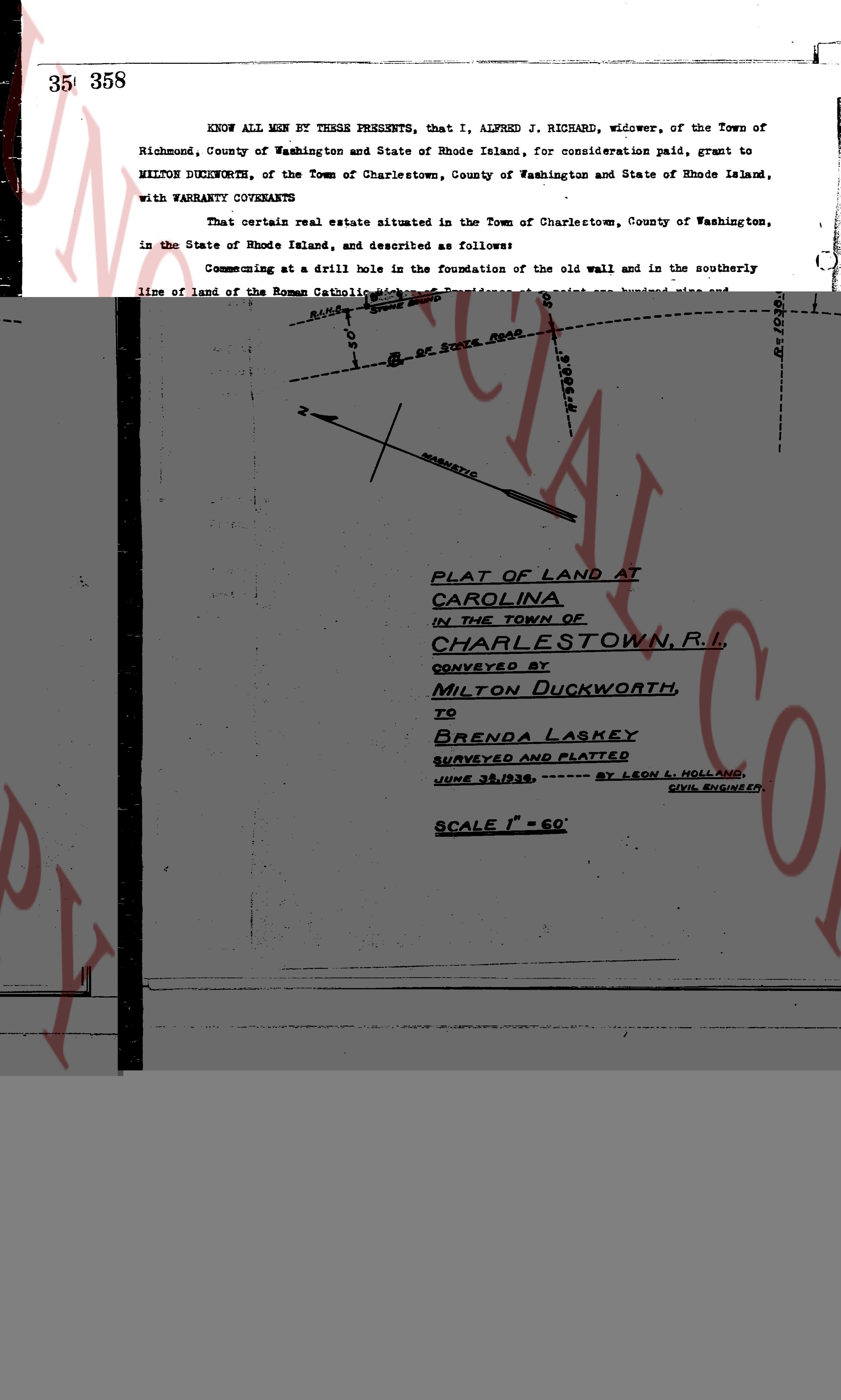
[Diagram of land plat]
PLAT OF LAND AT
CAROLINA
IN THE TOWN OF
CHARLESTOWN, R.I.
CONVEYED BY
MILTON DUCKWORTH,
TO
BRENDA LASKEY
SURVEYED AND PLATTED
JUNE 29, 1936, ------ BY LEON L. HOLLAND,
CIVIL ENGINEER.
SCALE 1" = 60'
page 2 · read by Gemma vision
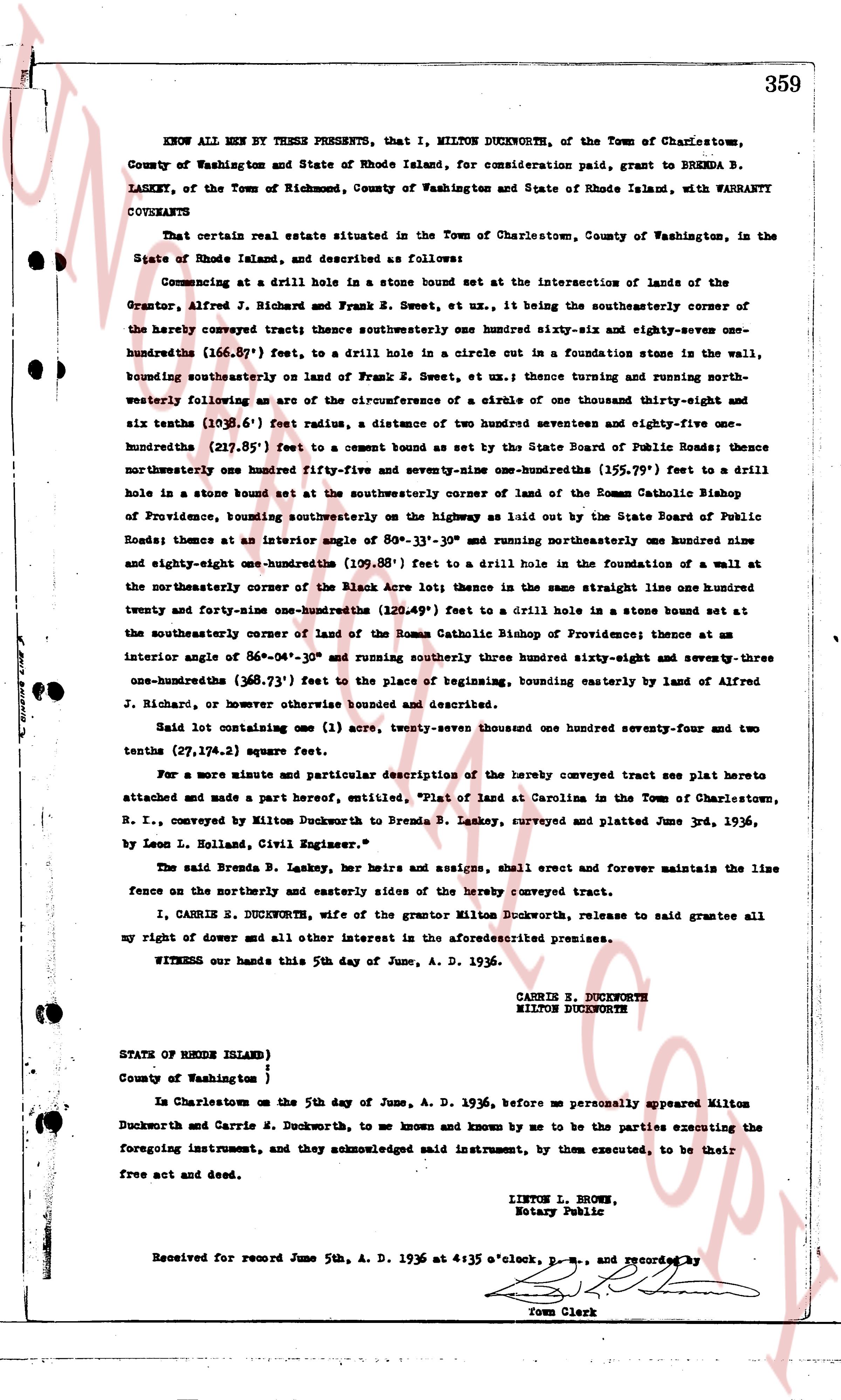
KNOW ALL MEN BY THESE PRESENTS, that I, MILTON DUCKWORTH, of the Town of Charlestown, County of Washington and State of Rhode Island, for consideration paid, grant to BRENDA B. LASKEY, of the Town of Richmond, County of Washington and State of Rhode Island, with WARRANTY COVENANTS
That certain real estate situated in the Town of Charlestown, County of Washington, in the State of Rhode Island, and described as follows:
Commencing at a drill hole in a stone bound set at the intersection of lands of the Grantor, Alfred J. Richard and Frank R. Sweet, ex ut, it being the southeasterly corner of the hereby conveyed tract; thence southeasterly one hundred sixty-six and sixty-nine severths of one hundredths (166.69') feet, to a drill hole in a circle cut in a foundation stone in the wall, bounding southeasterly on land of Frank R. Sweet, ex ut, thence a true curving and running north-westerly forming an arc of the circumference of a circle of one thousand thirty-eight thirty-eight and six tenths (1038.6') feet radius, a distance of two hundred seventeen and fifty-one one-hundredths (217.51') feet to a cement bound set by the State Board of Public Roads; thence northwesterly one hundred fifty-five and seventy-nine one-hundredths (155.79') feet to a drill hole in a stone bound set at the southeasterly corner of land of the Roman Catholic Bishop of Providence, bounding southeasterly on the highway as laid out by the State Board of Public Roads; thence at an interior angle of 80°-13'-35" and running northeasterly one hundred ninety-eight and eighty-one one-hundredths (198.81') feet to a drill hole in the foundation of a wall at the northeasterly corner of the Black Acre lot; thence in the same straight line one hundred twenty-four and forty-one one-hundredths (124.41') feet to a drill hole in a stone bound set at the southeasterly corner of land of the Roman Catholic Bishop of Providence; thence at an interior angle of 86°-04'-04" and running southerly three hundred sixty-three and seventy-three one-hundredths (363.73') feet to the place of beginning, bounding easterly by land of Alfred J. Richard, or however otherwise bounded and described.
Said lot containing one (1) acre, twenty-seven thousand one hundred forty-seven and two tenths (27,147.2) square feet.
For a more minute and particular description of the hereby conveyed tract see plat hereto attached and made a part hereof, "Plat of land at Carolina in the Town of Charlestown, R. I., conveyed by Milton Duckworth to Brenda B. Laskey, surveyed and platted June 3rd, 1936, by Leon L. Holland, Civil Engineer."
The said Brenda B. Laskey, her heirs and assigns, shall erect and forever maintain the line fence on the northerly and easterly sides of the hereby conveyed tract.
I, CARRIE E. DUCKWORTH, wife of the grantor Milton Duckworth, release to said grantee all my right of dower and all other interest in the aforementioned premises.
WITNESS our hands this 5th day of June, A. D. 1936.
CARRIE E. DUCKWORTH
MILTON DUCKWORTH
STATE OF RHODE ISLAND )
)
County of Washington )
In Charlestown on the 5th day of June, A. D. 1936, before me personally appeared Milton Duckworth and Carrie E. Duckworth, to me known and known by me to be the parties executing the foregoing instrument, and they acknowledged said instrument, by them executed, to be their free act and deed.
LINTON L. BROWN,
Notary Public
Received for record June 5th, A. D. 1936 at 4:35 o'clock, p.m., and recorded by
Town Clerk
The page as recorded