The instrument's own words
page 1 · read by Gemma vision
21
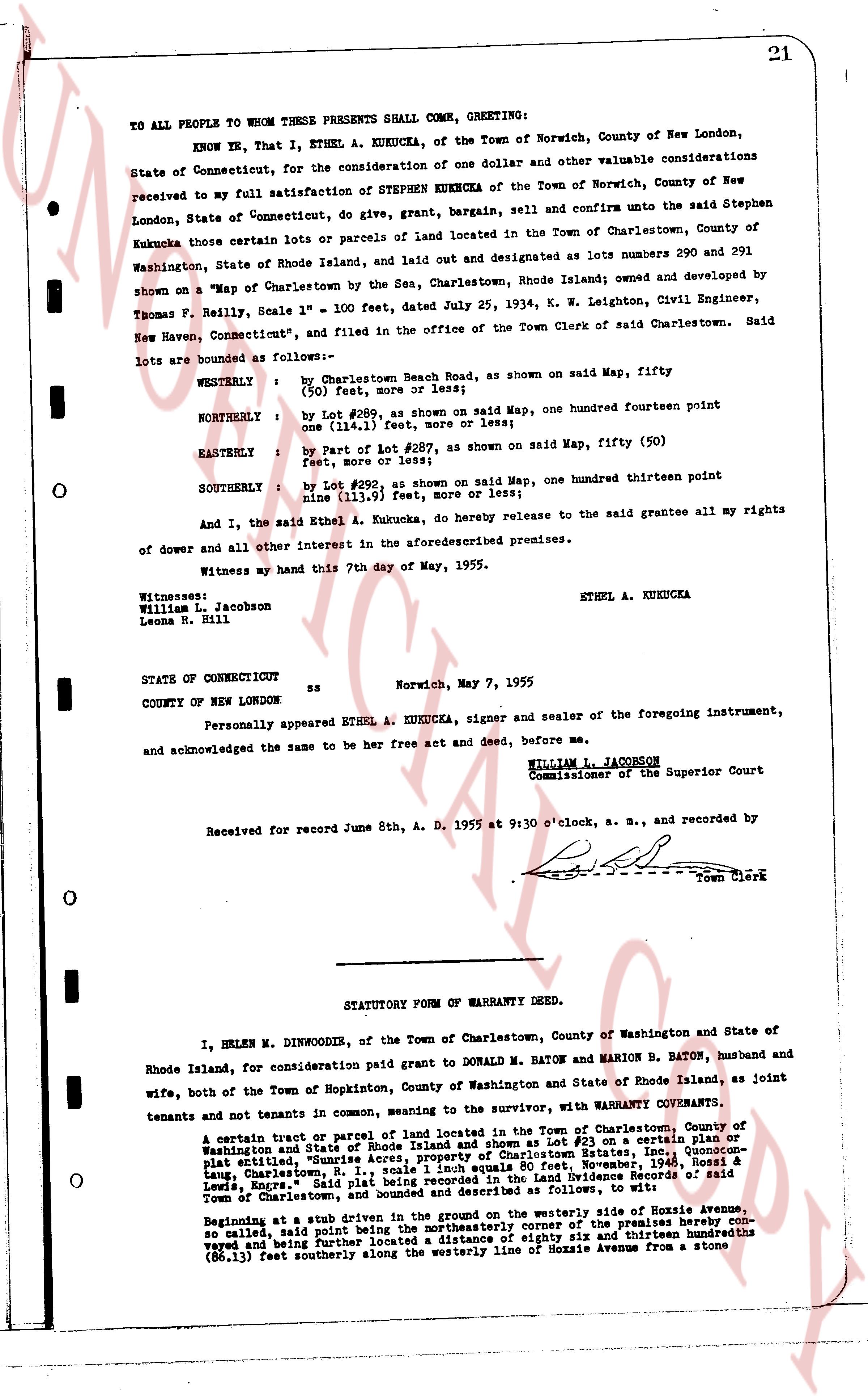
TO ALL PEOPLE WHOM THESE PRESENTS SHALL COME, GREETING:
KNOW YE, That I, ETHEL A. KUKUCKA, of the Town of Norwich, County of New London, State of Connecticut, for the consideration of one dollar and other valuable considerations received to my full satisfaction of STEPHEN KUKUCKA of the Town of Norwich, County of New London, State of Connecticut, do give, grant, bargain, sell and confirm unto the said Stephen Kukucka those certain lots or parcels of land located in the Town of Charlestown, County of Washington, State of Rhode Island, and laid out and designated as lots numbers 290 and 291 shown on a "Map of Charlestown by the Sea, Charlestown, Rhode Island; owned and developed by Thomas F. Reilly, Scale 1" = 100 feet, dated July 25, 1934, K. W. Leighton, Civil Engineer, New Haven, Connecticut," and filed in the office of the Town Clerk of said Charlestown. Said lots are bounded as follows:—
WESTERLY : by Charlestown Beach Road, as shown on said Map, fifty (50) feet, more or less;
NORTHERLY : by Lot #289, as shown on said Map, one hundred fourteen point one (114.1) feet, more or less;
EASTERLY : by part of Lot #287, as shown on said Map, fifty (50) feet, more or less;
SOUTHERLY : by Lot #292, as shown on said Map, one hundred thirteen point nine (113.9) feet, more or less;
And I, the said Ethel A. Kukucka, do hereby release to the said grantee all my rights of dower and all other interest in the aforesaid premises.
Witness my hand this 7th day of May, 1955.
ETHEL A. KUKUCKA
Witnesses:
William L. Jacobson
Leona R. Hill
STATE OF CONNECTICUT ss Norwich, May 7, 1955
COUNTY OF NEW LONDON
Personally appeared ETHEL A. KUKUCKA, signer and sealer of the foregoing instrument, and acknowledged the same to be her free act and deed, before me,
WILLIAM L. JACOBSON
Commissioner of the Superior Court
Received for record June 8th, A. D. 1955 at 9:30 o'clock, a. m., and recorded by [?] Town Clerk
----
STATUTORY FORM OF WARRANTY DEED.
I, HELEN M. DINWOODIE, of the Town of Charlestown, County of Washington and State of Rhode Island, for consideration paid grant to DONALD M. BATON and MARION B. BATON, husband and wife, both of the Town of Hopkinton, County of Washington and State of Rhode Island, as joint tenants and not tenants in common, meaning to the survivor, with WARRANTY COVENANTS.
A certain tract or parcel of land located in the Town of Charlestown, County of Washington and State of Rhode Island and shown as Lot #23 on a certain plat or map entitled, "Sunnyrise Acres, Plat 1, South Charlestown Estate, Inc., Charlestown, R.I., Charlestown, R.I., containing 1.1 equals 80 acres, Nov. 1946, Noraell H. Rossi & Lewis, Engrs.," said tract being recorded as Land Evidence Book 2885, page 12, records of said Town of Charlestown, state and described as follows, to wit:
Beginning at a stub driven in the ground on the westerly side of Hope Ave, so called, said point being the northeasterly corner of the premises hereby conveyed and being further described as a distance of eighty six and thirteen hundredths (86.13) feet southeasterly along the westerly line of Mozzie Avenue from a stone
page 2 · read by Gemma vision
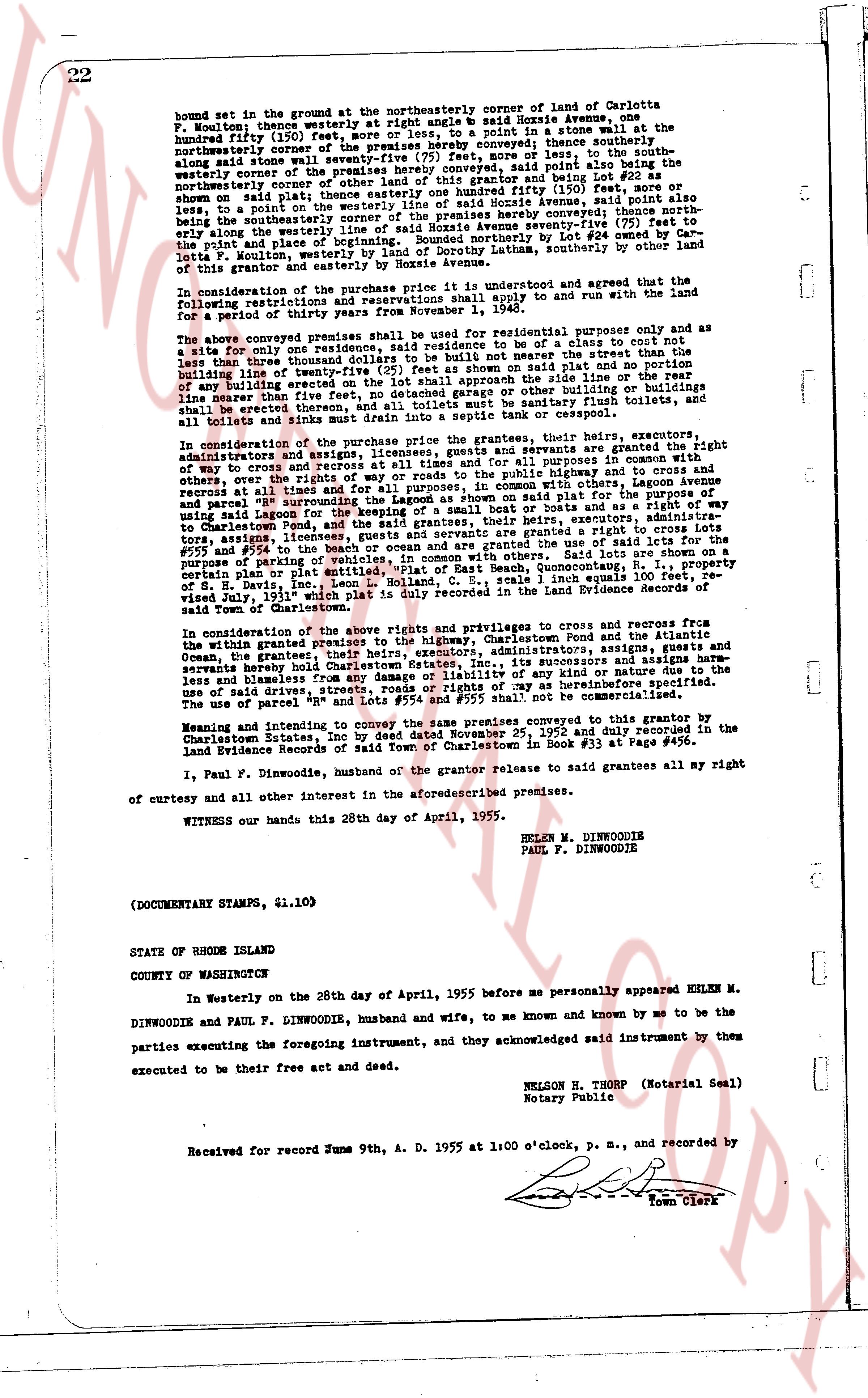
bound set in the ground at the northeasterly corner of land of Carlotta
F. Foulmont; thence westerly at right angle $\text{\textsf{R}}$ bound House Avenue,
hundred (100) feet, westerly to a stone bound set in a stone wall at the
northeasterly corner of the premises hereby conveyed; thence southerly,
along said stone wall seventy-seven $\frac{1}{2}$ feet, more or less, to the south-
westerly corner of the premises hereby conveyed, said point being $\text{\textsf{R}}$ 257 $\frac{1}{2}$
somewhat said plat line that is one hundred fifty (150) feet, more or
less, to a point on the westerly line of said Avenue (marked with a nail)
southerly, to the southwesterly corner of the premises hereby conveyed; thence north-
easterly along the westerly line of said House Avenue seventy-seven $\frac{1}{2}$ (77 $\frac{1}{2}$)
feet, to the right hand place of the stone wall, being a boundary by Lot #24 owned by Car-
lotta F. Foulmont, westerly by land of Dorothy Lathom, southerly by other land
of this grantor, northeasterly and easterly by House Avenue.
In consideration of the purchase price it is understood and agreed that the land
following restrictions and reservations shall apply to and run with the land for
a period of thirty years from the first day of May, 1952.
The above conveyed premises shall be used for residential purposes only and as a
site only one residence, said residence to be of a cost not being the
less than three thousand dollars to be constructed of the first floor not to be
built on any foundation other than stone or concrete as shown on said plat and no portion
of any building erected on the lot shall approach the side line or rear line
more than five feet from the boundary of the lot; no tent or canopy shall
be erected, thereon, and all toilets must be sanitary flush toilets, and
all sinks and tubs must be supplied with hot and cold running water.
In consideration of the purchase price the grantors, their heirs, executors,
administrators, assigns, licensees, and grantees servants and agents shall have and right
of ways and covenants in perpetuity for all purposes in connection with
others, over the rights of way and roads to the public highway and to the beach and
access to all tidal inlets and streams in common with those lots designated as
parcel "A" surrounding the Lagoon as shown on said plat for the purpose
using Lagoon salt water for domestic purposes and other building or buildings
on the beach and the sea, and the said grantees, their heirs, executors, administrators,
tors, assigns, licensees, guests, and agents shall have a right in common with other par-
tners of a parking of vehicles, in common with the use of said lots for the
purpose of parking of vehicles, in connection with the use of Beach, Quonochontaug, R. I. property
certain plat or lot map of the Town of Charlestown, Rhode Island, as recorded in
of S. H. Davis, Inc., Leon L. Holland, C. S. Sale, 1 inch equals 100 feet or equal,
viz dated 1917, in Land Evidence Book 15, page 120 of the Land Evidence Records of
said Town of Charlestown.
In consideration of the above rights and privileges to and crosses from and
within the granted premises to the highway, Charlestown Pond and the Atlantic
Ocean, the grantees, their heirs, executors, administrators, assigns and agents have
expressly hereby build a road, and their successors and assigns harm-
less and blameless from any cause of liability or of any kind or nature due to the
use of said driving way, and the grantors agree that as heretofore provided,
the use of parcel "A" and lots "#54" and lots "#55" shall not be commercialised.
Meaning and intent to convey the same premises conveyed to this grantor by
Charlestown Estates, Inc by deed dated September 2, 1950 and duly copied in the
Land Evidence Records of the Town of Charlestown in Book #33 at Page #456.
I, Paul F. Dinwoodie, husband of the grantor release to said grantees all my right
of curtesy and all other interest in the aforesaid described premises.
WITNESS our hands this 28th day of April, 1955.
HELEN M. DINWOODIE
PAUL F. DINWOODIE
(DOCUMENTARY STAMPS, \$1.10)
STATE OF RHODE ISLAND
COUNTY OF WASHINGTON
In Westerly on the 28th day of April, 1955 before me personally appeared HELEN M.
DINWOODIE and PAUL F. DINWOODIE, husband and wife, to me known and known by me to be the
parties executing the foregoing instrument, and acknowledged said instrument by them
executed to be their free act and deed.
NELSON H. THORP (Notarial Seal)
Notary Public
Received for record June 9th, A. D. 1955 at 1:00 o'clock, p. m., and recorded by
[Signature]
Town Clerk
The page as recorded