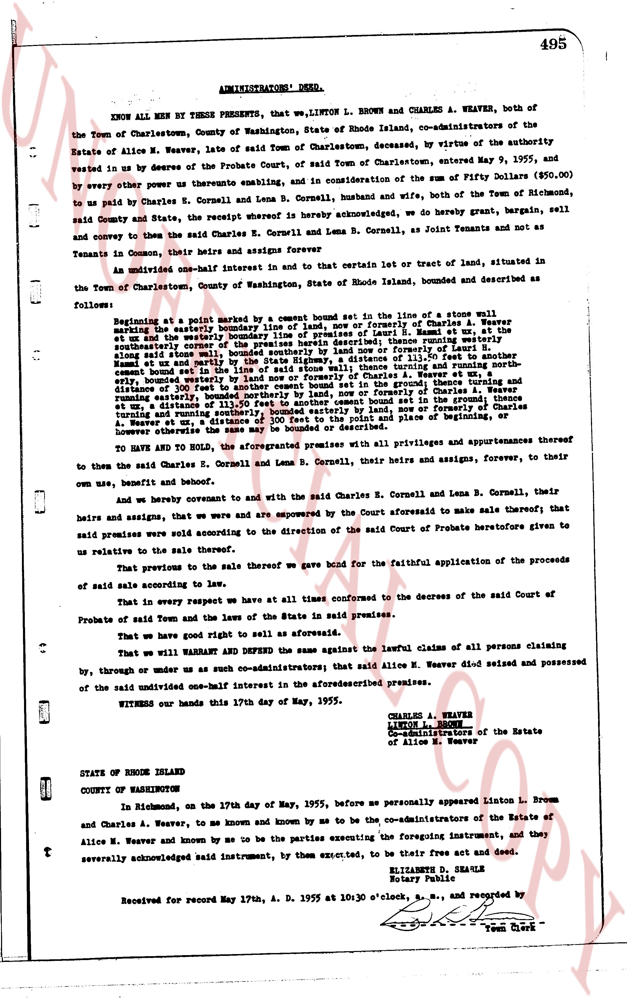
The instrument's own words
page 1
ADMINISTRATORS' DEED.
495
KNOW ALL MEN BY THESE PRESENTS, that we,LINTON L. BROWN and CHARLES A. WEAVER, both of
the Town of Charlestown, County of Washington, State of Rhode Island, co-administrators of the
Estate of Alice M. Weaver, late of said Town of Charlestown, deceased, by virtue of the authority
vested in us by decree of the Probate Court, of said Town of Charlestown, entered May 9, 1955, and
by every other power us therefore enabling, and in consideration of the sum of Fifty Dollars ($50.00)
to us paid by Charles E. Cornell and Lena B. Cornell, husband and wife, both of the Town of Richmond,
said County and State, the receipt whereof is hereby acknowledged, we do hereby grant, bargain, sell
and convey to the said Charles E. Cornell and Lena B. Cornell, as Joint Tenants and not as
Tenants in Common, their heirs and assigns and forever
An undivided one-half interest in and to that certain lot or tract of land, situated in
the Town of Charlestown, County of Washington, State of Rhode Island, bounded and described as
follows:
Beginning at a point marked by a cement bound set in the line of a stone wall
marking the easterly boundary line of land, now or formerly of Charles A. Weaver
bounded, bounded easterly by the boundary line of land of Isaak H. Bassett et al, the
et ux and the water; thence running southwesterly, a distance of 113.50 feet to another
cement bound set in the line of the said stone wall; thence running westerly a distance of 100 feet
along said stone wall, bounded southerly by the land now or formerly of Isaac H. Bassett et al,
bounded westerly by the boundary line of land now or formerly of Charles A. Weaver et ux, a
distance of 113.50 feet to another cement bound set in the ground; thence running northerly a
distance of 100 feet in the line of the said stone wall; thence running easterly a distance of 113.50 feet
to a cement bound set in the ground; thence running southerly, a distance of 113.50 feet to another
cement bound set in the ground; thence running easterly, a distance of 100 feet, now or formerly of
Charles A. Weaver et ux, a distance of 100 feet to the point and place of beginning, or
however otherwise the same may be bounded or described.
TO HAVE AND TO HOLD, the aforementioned premises with all privileges and appurtenances thereof
to then the said Charles E. Cornell and Lena B. Cornell, their heirs and assigns, forever, to their
own use, benefit and behoof.
And we hereby covenant to and with the said Charles E. Cornell and Lena B. Cornell, their
heirs and assigns, that we were and are empowered by the Court aforesaid to make sale thereof; that
said premises were sold according to the direction of the said Court of Probate heretofore given to
us relative to the sale thereof.
That previous to the sale thereof we gave bond for the faithful application of the proceeds
of said sale according to law.
That in every respect we have at all times conformed to the decrees of the said Court of
Probate of said Town and the laws of the State in said premises.
That we have good right to sell as aforesaid.
That we will WARRANT AND DEFEND the same against the lawful claims of all persons claiming
by, through or under us as such co-administrators; that said Alice M. Weaver died seized and possessed
of the said undivided one-half interest in the aforesaiddescribed premises.
WITNESS our hands this 17th day of May, 1955.
CHARLES A. WEAVER
LINTON L. BROWN
Co-administrators of the Estate
of Alice M. Weaver
STATE OF RHODE ISLAND
COUNTY OF WASHINGTON
On, the 17th day of May, 1955, before me personally appeared Linton L. Brown
in Richmond, and Charles A. Weaver, to me known and by me to be the co-administrators of the Estate of
Alice M. Weaver and known by me to be the parties executing the foregoing instrument, and they
severally acknowledged said instrument, by them executed, to be their free act and deed.
ELIZABETH D. SEAULE
Notary Public
Received for record May 17th, A. D. 1955 at 10:30 o'clock, a.m., and recorded by
Town Clerk
The page as recorded