The instrument's own words
page 1
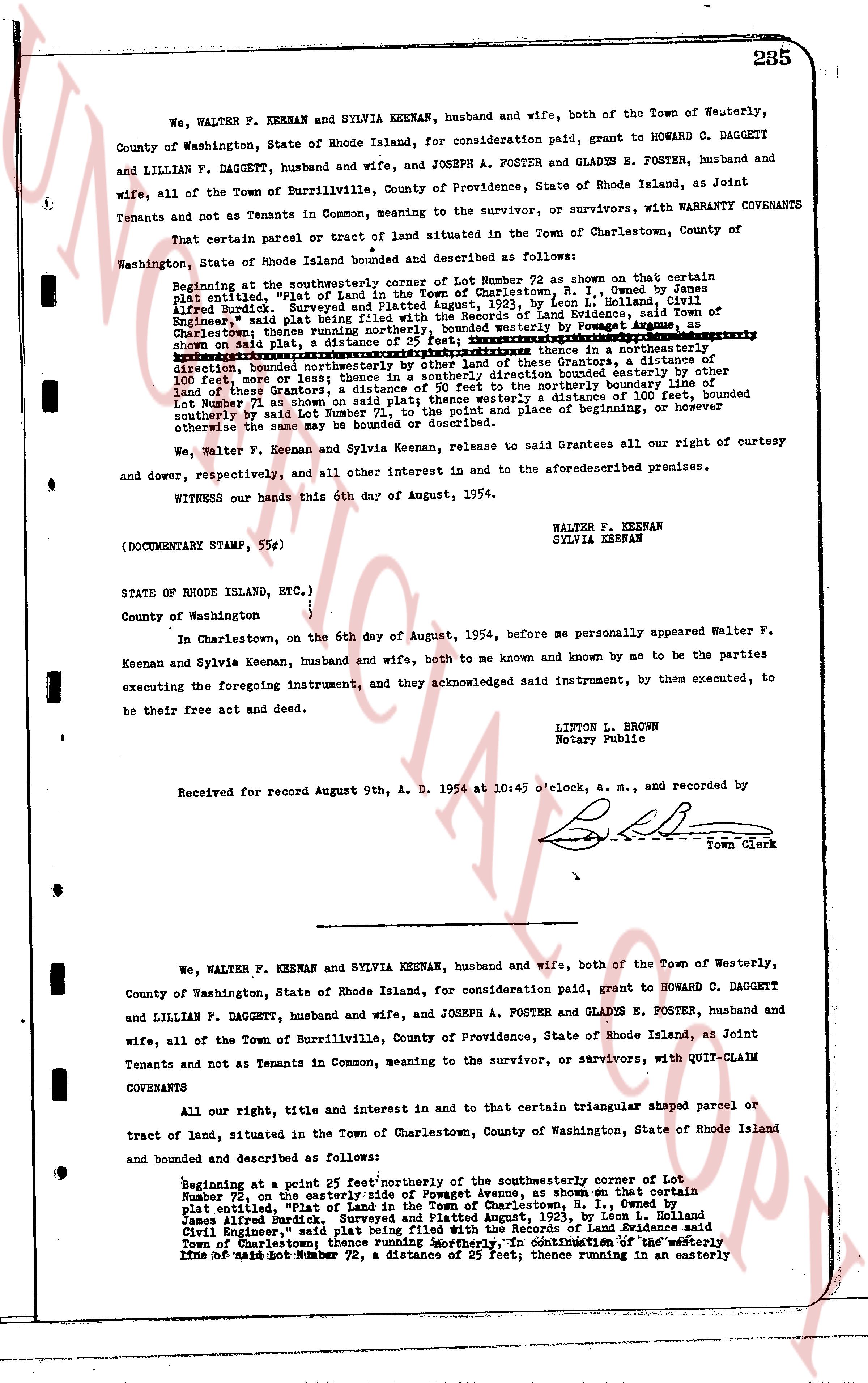
We, WALTER F. KEENAN and SYLVIA KEENAN, husband and wife, both of the Town of Westerly,
County of Washington, State of Rhode Island, for consideration paid, grant to HOWARD C. DAGGETT
and LILLIAN F. DAGGETT, husband and wife, and JOSEPH A. FOSTER and GLADYS E. FOSTER, husband and
wife, all of the Town of Burrillville, County of Providence, State of Rhode Island, as Joint
Tenants and not as Tenants in Common, meaning to the survivor, or survivors, with WARRANTY COVENANTS
That certain parcel or tract of land situated in the Town of Charlestown, County of
Washington, State of Rhode Island bounded and described as follows:
Beginning at the southeasterly corner of Lot Number 72 as shown on that certain
plat entitled, "Plot of Land in the Town of Charlestown, R. I., owned by James
Alfred Burdick, Surveyed and Platted August, 1923, by Leon L. Holland, Civil
Engineer," said plat being filed with the Recorder of Deeds of Land records, Town of
Charlestown; said plot being filed with the Recorder of Deeds of Land records, Town of
Charlestown; thence running northeasterly by said plot, a distance of 25 feet; thence running in a northeasterly
direction, bounded northeasterly by other land of these Grantors, a distance
of 100 feet, more or less; thence in a northeasterly direction, bounded easterly by other
land of the Grantors, a distance of 25 feet to the northerly boundary line of
Lot Number 71 as shown on said plat; thence westerly a distance of 100 feet, bounded
southerly by said Lot Number 71 to the place of beginning, or however
otherwise the same may be bounded or described.
We, Walter F. Keenan and Sylvia Keenan, release to said Grantees all our right of curtesy
and dower, respectively, and all our other interest in and to the aforementioned premises.
WITNESS our hands this 6th day of August, 1954.
(DOCUMENTARY STAMP, 55¢)
WALTER F. KEENAN
SYLVIA KEENAN
STATE of RHODE ISLAND, ETC.,)
County of Washington )
In Charlestown, on the 6th day of August, 1954, before me personally appeared Walter F.
Keenan and Sylvia Keenan, husband and wife, both, to me known and known by me to be the parties
executing the foregoing instrument, and they acknowledged said instrument, by them executed, to
be their free act and deed.
LINTON L. BROWN
Notary Public
Received for record August 9th, A. D. 1954 at 10:45 o'clock, a. m., and recorded by
Town Clerk
We, WALTER F. KEENAN and SYLVIA KEENAN, husband and wife, both of the Town of Westerly,
County of Washington, State of Rhode Island, for consideration paid, grant to HOWARD C. DAGGETT
and LILLIAN F. DAGGETT, husband and wife, and JOSEPH A. FOSTER and GLADYS E. FOSTER, husband and
wife, all of the Town of Burrillville, County of Providence, State of Rhode Island, as Joint
Tenants and not as Tenants in Common, meaning to the survivor, or survivors, with QUIT-CLAIM
COVENANTS
All our right, title and interest in and in to that certain triangular shaped parcel or
tract of land, situated in the Town of Charlestown, County of Washington, State of Rhode Island
bounded and described as follows:
Beginning at a point 25 feet northeasterly of the southeasterly corner of Lot
Number 72 as shown on the easterly side of Powogas Avenue, as shown on that certain
plat entitled, "Plot of Land in the Town of Charlestown, R. I., owned by
James Alfred Burdick, Surveyed and Platted August, 1923, by Leon L. Holland, Civil
Engineer," said plat being filed with the Recorder of Deeds of Land records, Town of
Charlestown; thence running northeasterly, in continuation of the westerly
line of said Lot Number 72, a distance of 25 feet; thence running in an easterly
page 2
286
direction a distance of 100 feet, more or less; to the northeasterly
corner of other land thus day being conveyed by these Grantors to
these Grantees; thence running southeasterly, bounded southeasterly,
by said Grantees; thence being bounded southwesterly, by these Grantors to these
Grantees, a distance of 100 feet, more or less; to the point and place
of beginning, or however otherwise the same may be bounded or described.
We, Walter P. Keenan and Sylvia Keenan, release to said Grantees all our right
of Curtesy and Dower, respectively, and all other interest in and to the aforementioned
premises.
WITNESS our hands this 6th day of August, 1954.
WALTER P. KEENAN
SYLVIA KEENAN
No Internal Revenue Stamps
required
STATE of RHODE ISLAND, ETC.)
}
}
County of Washington }
In Charlestown, on the 6th day of August, 1954, before me personally appeared
Walter P. Keenan and Sylvia Keenan, husband and wife, both to me known and known by me to
be the parties executing the foregoing instrument, and they acknowledged said instrument,
by them ex-cuted, to be their free act and deed.
LINTON L. BROWN
Notary Public
Received for record August 9th, A. D. 1954 at 10:46 o'clock, a. m., and recorded
by [signature]
Town Clerk
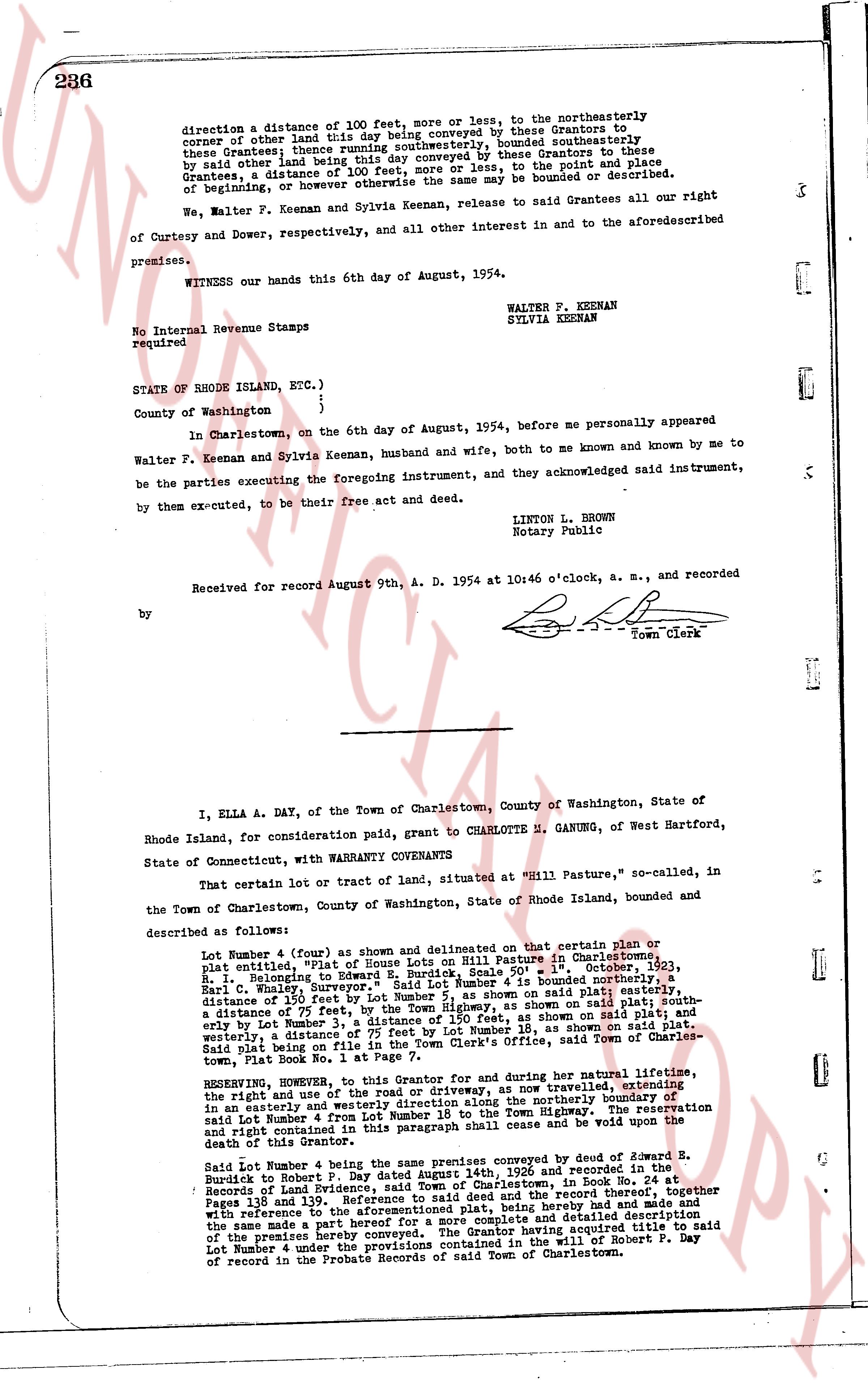
I, ELLA A. DAY, of the Town of Charlestown, County of Washington, State of
Rhode Island, for consideration paid, grant to CHARLOTTE M. GANUNG, of West Hartford,
State of Connecticut, with WARRANTY COVENANTS
That certain lot or tract of land, situated at "Hill Pasture," so-called, in
the Town of Charlestown, County of Washington, State of Rhode Island, bounded and
described as follows:
Lot Number 4 (curve) as shown and delineated on that certain plan or
plat entitled, "Plat of House Lots on Hill Pasture in Charlestown,
R. I.," belonging to Edward R. Day, dated August 1st, 1953,
R. I. Neck, Courtesy, Drawing No. 1 of Lot Number 4 is bounded northerly, a
distance of 150 feet by Lot Number 7, as shown on said plat; easterly, a
distance of 175 feet, by the road, as shown on said plat; southwesterly, a
distance of 150 feet by Lot Number 3, a distance of 150 feet, as shown on said plat; and
westerly, a distance of 175 feet, by Lot Number 13, as shown on said plat;
said Plat being on file in the Town Clerk's Office, said Town of Charles-
town, Book Plat No. 1 at Page 7.
RESERVING, however, to this Grantor, and for during her natural lifetime,
the right and use of the road or driveway, as now traveled, extending
in an easterly and westerly direction, crossing the northern Boundary of
said Lot Number 4 from Lot Number 16 to the Town Highway. The reservation
and right contained in this paragraph shall cease and be void upon the
death of this Grantor.
Said Lot Number 4 being the same premises conveyed by deed of Edward R.
Durick to Robert P. Day dated August 11th, 1908 and recorded in the
Records of Land Evidence of R. I., in Charlestown, in Book 60, at
Pages 119 and 120. Reference to said deed and the record thereof, together
with the references to the aforementioned plat, being hereto had and referred,
and the same made a part hereof, and containing detailed description
of the premises hereby conveyed. The Grantor hereby acquired title to said
Lot Number 4 under the provisions contained in the will of Robert P. Day
of record in the Probate Records of said Town of Charlestown.
The page as recorded