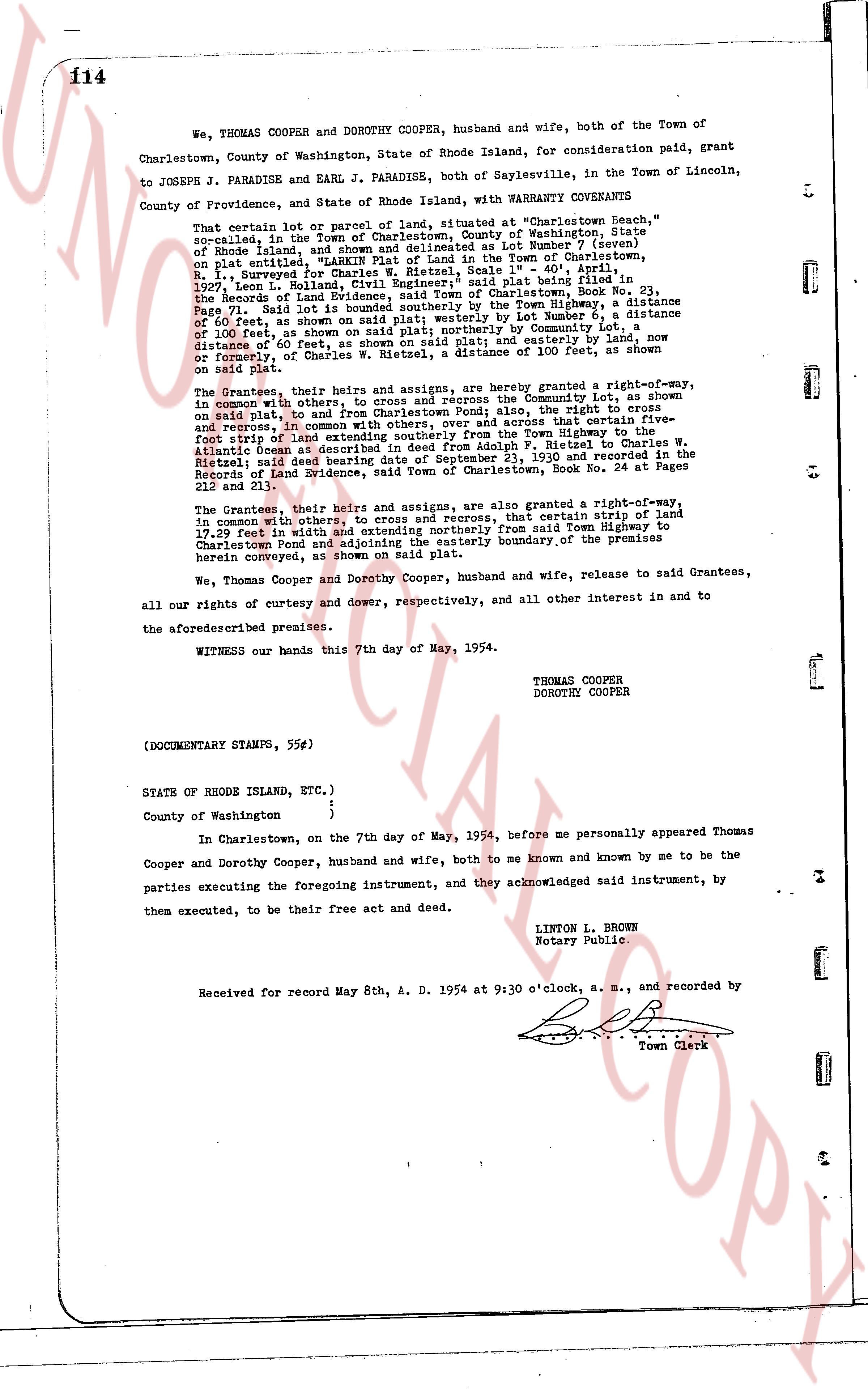
The instrument's own words
page 1
114
We, THOMAS COOPER and DOROTHY COOPER, husband and wife, both of the Town of
Charlestown, County of Washington, State of Rhode Island, for consideration paid, grant
to JOSEPH J. PARADISE and EARL J. PARADISE, both of Saylesville, in the Town of Lincoln,
County of Providence, and State of Rhode Island, with WARRANTY COVENANTS
That certain lot of parcel or piece of land, situated at "Charlestown Beach," a
said parcel, in the Town of Charlestown, County of Washington, State
of Rhode Island, and shown and delineated as Lot Number "Seven" (seven)
on a plat entitled, "Map of Beach Lots and Roads in the Town of Charlestown,
on R. I. Surveyed for Charles W. Ritzel, Scale 1" = 40', April 1,
1927, Town of Charlestown, Rhode Island, said plat being filed and recorded in
the Records of Land Evidence, said Town of Charlestown, Book No. 21,
Page 72, said Lot 7 being bounded on the North by the Town Highway to the
distance of 60 feet, as shown on said plat; westerly by Lot Number 6, a
distance of 100 feet, as shown on said plat; southerly by Community Lot a
distance of 60 feet, as shown on said plat; and easterly by land, now
or formerly, of Charles W. Ritzel, a distance of 100 feet, as shown on
said plat.
The Grantees, their heirs and assigns, are hereby granted a right-of-way,
in common with others, to cross and recross the Community Lot, as shown
on said plat, to and from Charlestown Pond; also, the right to cross
and recross, in common with others, over and across that certain five-
foot strip of land described in a deed from the Town Highway to the
Atlantic Ocean as described in deed from Adolph F. Ritzel to Charles W.
Ritzel and said deed recorded in Plat Book 21, Page 19, 1927 and recorded in
the Records of Land Evidence, said Town of Charlestown, Book No. 24 at Pages
212 and 213.
The Grantees, their heirs and assigns, are also granted a right-of-way,
in common with others, to cross and recross, that certain strip of land
17.29 feet in width, as shown on said plat, extending from said Town Highway to
Charlestown Pond and adjoining the easterly boundary of the premises
herein conveyed, as shown on said plat.
We, Thomas Cooper and Dorothy Cooper, husband and wife, release to said Grantees,
all our rights of curtesy and dower, respectively, and all other interest in and to
the aforesaid described premises.
WITNESS our hands this 7th day of May, 1954.
THOMAS COOPER
DOROTHY COOPER
(DOCUMENTARY STAMPS, 55¢)
STATE OF RHODE ISLAND, ETC.,)
County of Washington )
In Charlestown, on the 7th day of May, 1954, before me personally appeared Thomas
Cooper and Dorothy Cooper, husband and wife, both to me known and known by me to be the
parties executing the foregoing instrument, and they acknowledged said instrument, by
them executed, to be their free act and deed.
LINTON L. BROWN
Notary Public.
Received for record May 8th, A. D. 1954 at 9:30 o'clock, a. m., and recorded by
Town Clerk
The page as recorded