The instrument's own words
page 1 · read by Gemma vision
660
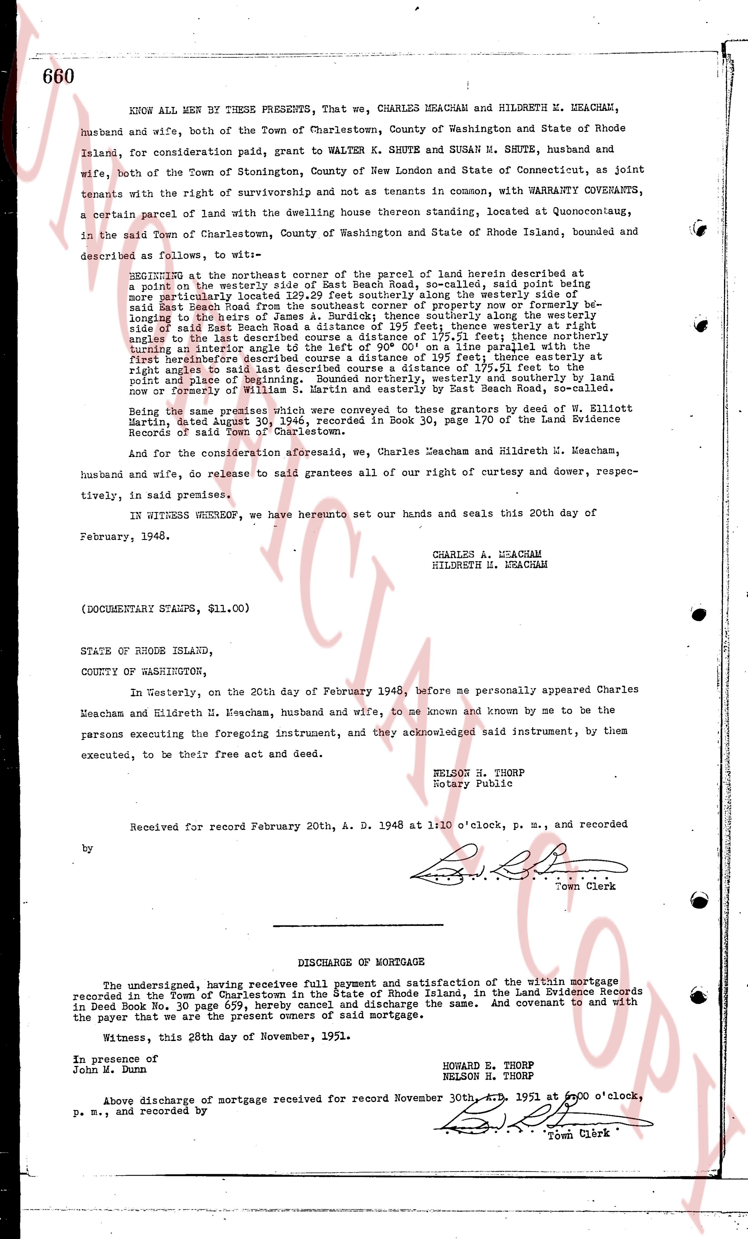
KNOW ALL MEN BY THESE PRESENTS, That we, CHARLES MEACHAM and HILDRETH M. MEACHAM, husband and wife, both of the Town of Charlestown, County of Washington and State of Rhode Island, for consideration paid, grant to WALTER K. SHUTE and SUSAN M. SHUTE, husband and wife, both of the Town of Stonington, County of New London and State of Connecticut, as joint tenants with the right of survivorship and not as tenants in common, with WARRANTY COVENANTS, a certain parcel of land with the dwelling house thereon standing located, at Quonocutcong, in the said Town of Charlestown, County of Washington and State of Rhode Island, bounded and described as follows, to wit—
BEGINNING at the northeast corner of the parcel of land herein described at a point on the westerly side of East Beach Road, so-called, said point being a nail driven into a post; thence running northerly along the westerly side of said East Beach Road from the southeast corner of property now or formerly belonging to Dexter and others, a distance of 195 feet; thence westerly at right angles to the said East Beach Road a distance of 195 feet; thence southerly, along the westerly side of said East Beach Road a distance of 195 feet; thence westerly at right angles to the said East Beach Road a distance of 195 feet; thence northerly, the course turning an interior angle of 135 degrees to the left of 90° 00' on a line parallel with the first hereinbefore described course a distance of 195 feet; thence easterly at right angles to said line a distance of 195 feet; thence southerly at right angles to said point and place of beginning. Bounded northerly, westerly and southerly by land now owned by County of Washington and easterly by East Beach Road, so-called.
Being the same premises which were conveyed to these grantors by deed of W. Elliott Martin, dated August 30, 1946, recorded in Book 30, page 170 of the Land Evidence Records of said Town of Charlestown.
And for the consideration aforesaid, we, Charles Meacham and Hildreth M. Meacham, husband and wife, do release to said grantees all of our right of curtesy and dower, respectively, in said premises.
IN WITNESS WHEREOF, we have hereunto set our hands and seals this 20th day of February, 1948.
CHARLES A. MEACHAM
HILDRETH M. MEACHAM
(DOCUMENTARY STAMPS, $11.00)
STATE OF RHODE ISLAND,
COUNTY OF WASHINGTON,
In Westerly, on the 20th day of February 1948, before me personally appeared Charles Meacham and Hildreth N. Meacham, husband and wife, to me known and known by me to be the persons executing the foregoing instrument, and they acknowledged said instrument, by them executed, to be their free act and deed.
NELSON H. THORP
Notary Public
Received for record February 20th A. D. 1948 at 1:10 o'clock, p. m., and recorded by [signature] Town Clerk
----
DISCHARGE OF MORTGAGE
The undersigned, having received full payment and satisfaction of the within mortgage recorded in the Town of Charlestown in the State of Rhode Island, in the Land Evidence Records in Deed Book 28, page 629, hereby cancel and discharge the same. And covenant to and with the payer that we are the present owner of said mortgage.
Witness, this 28th day of November, 1951.
HOWARD E. THORP
NELSON H. THORP
In presence of
John M. Dunn
Above discharge of mortgage received for record November 30th, A. D. 1951 at 2:00 o'clock, p. m., and recorded by [signature] Town Clerk
The page as recorded